Residential Land for Sale in Sanders, Arizona
County Road 7245 Sanders, AZ 86512
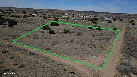
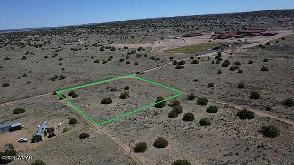

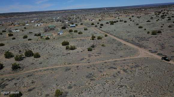
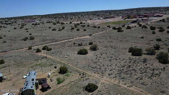


Corner lot in the middle of Sanders, Arizona with power lines on the property. Located just behind theSanders Valley High School, this site is perfect for your home on the range.Also located next door to HUNDREDS of acres owned by the United States government, likely never to bedeveloped. So you'll enjoy unparalled seclusion but with the convenience and charm of small town living.Petrified Forest National Park is only 30 minutes away.Sitgreaves National Forest is only 90 minutes away.Grand Canyon is only 3 hours away.Your great Arizona homestead is within reach!
Directions
From Interstate 40 in Sanders, AZ:Take US Highway 191 south for 1.25 milesTurn left at Dine'h Tan Blvd, and go 1 mileTurn left at CR 7248 and go .4 mileProperty is at the corner of CR 7248 & 7245
Property details
- County
- Apache County
- Community
- Arizona Park Estates
- Elevation
- 5,863 feet
- MLS Number
- WMAR 251048
- Date Posted
Parcels
- 207-26-209
Detailed attributes
Listing
- Type
- Lots And Land
- Subtype
- Single Family Detached
Listing history
| Date | Event | Price | Change | Source |
|---|---|---|---|---|
| May 17, 2024 | New listing | $14,995 | — | WMAR |