10.3 Acres of Land for Sale in Show Low, Arizona
004C-a Shady Oak, Show Low, AZ 85901
Images
Map


$24,547
10.25 acres
Active sale agoEst $243/mo
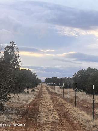
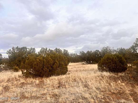
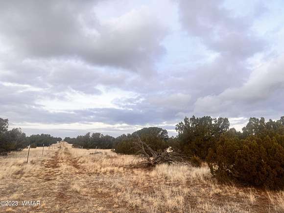
Beautiful parcel, recently surveyed. All corners are marked. Perfect for an off grid home or to RV in the summer! State land is with in walking distance to this parcel! Come claim your forest land! Sign and more pictures added Dec 27 2023.
Directions
Bourdon Ranch Rd (6 mi ea of Show Low on 60 or south extension of Lovelake Rd out of Taylor) to mile marker 5.5 (across from WML air park) to Ripple, 1.2 mi to Raven, 0.5 mi to lft on Grant, 0.5 mi to rt on Roadrunner, winding 1 mi to right on Shady Oak 0.8 mi to SW corner
Property details
- County
- Navajo County
- Community
- Show Low
- Elevation
- 6,368 feet
- MLS Number
- WMAR 249014
- Date Listed
Parcels
- 404-69-004C
Property taxes
- 2022
- $154
Detailed attributes
Listing
- Type
- Lots And Land
- Subtype
- Single Family Detached
Listing history
| Date | Event | Price | Change | Source |
|---|---|---|---|---|
| Dec 21, 2023 | New listing | $24,547 | — | WMAR |
Payment calculator

Contact listing agent
By submitting, you agree to the terms of use, privacy policy, and to receive communications.