
Land for Sale in Black Mountain, North Carolina
103 Sugar Maple Dr, Black Mountain, NC 28711
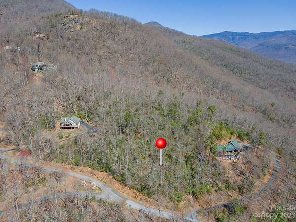
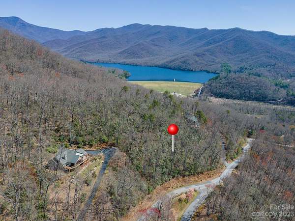
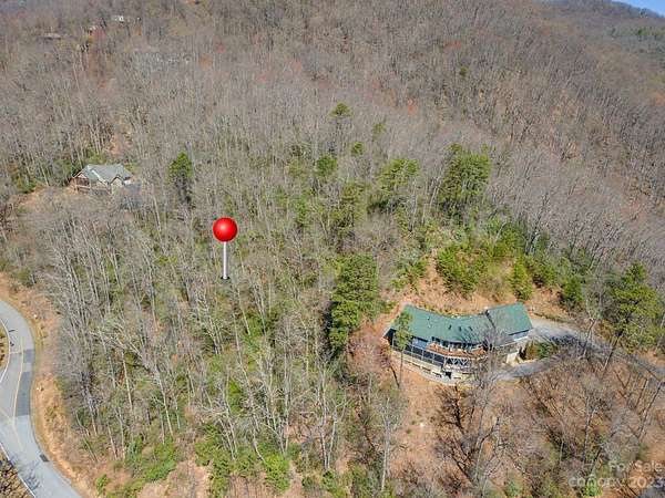
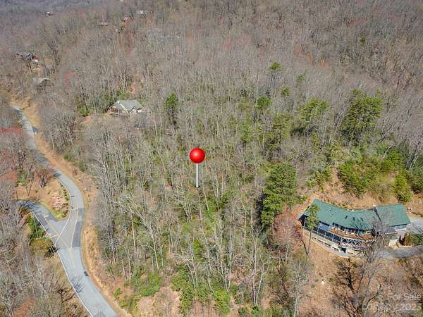
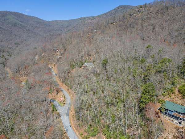
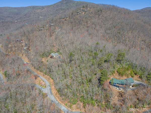
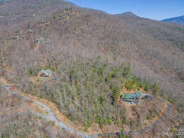
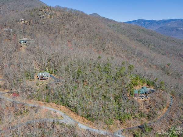
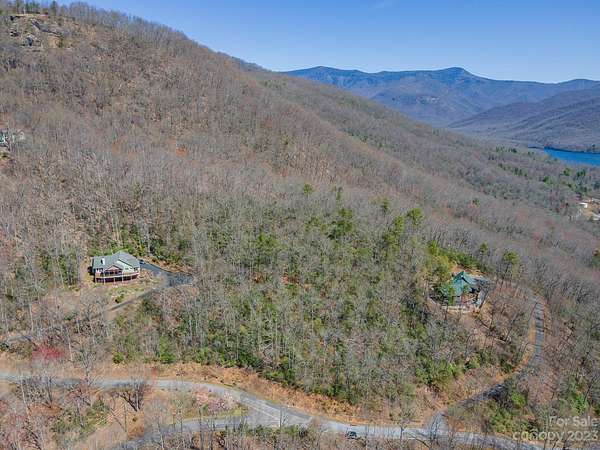
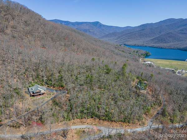
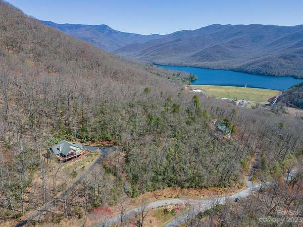
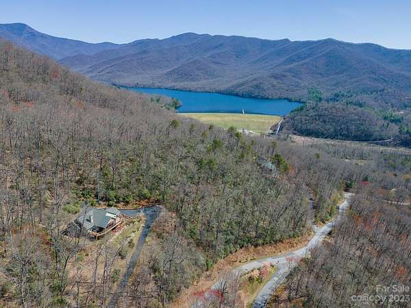
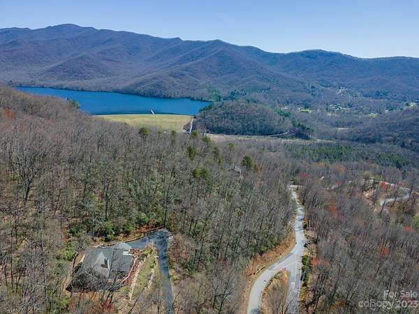
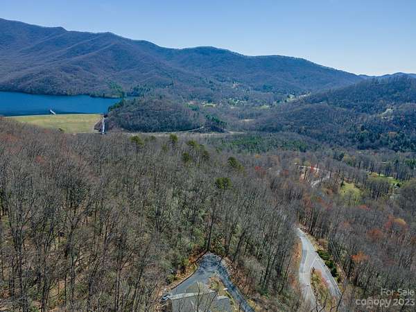
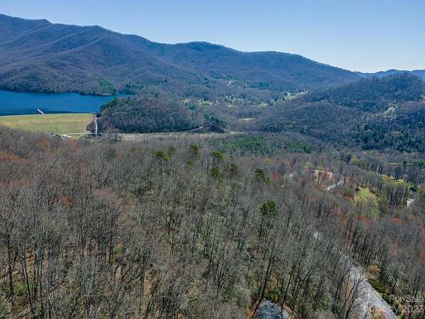
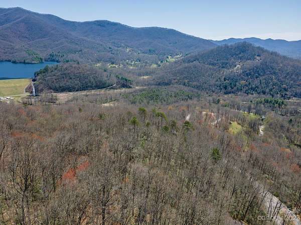
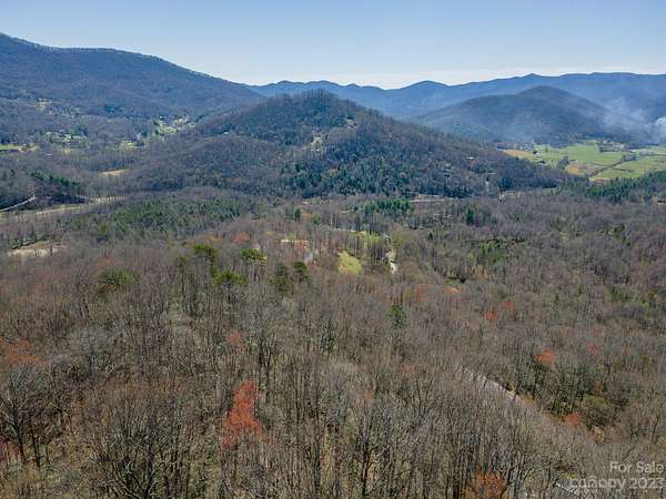
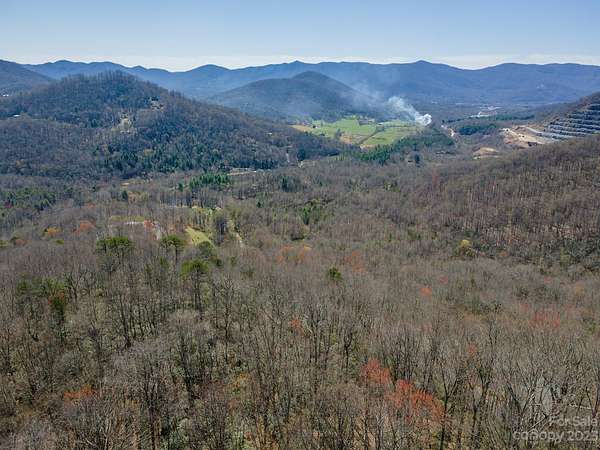
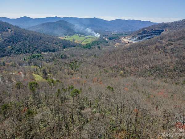
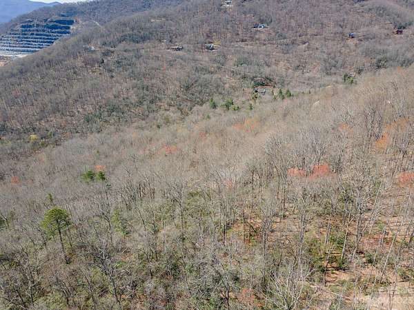
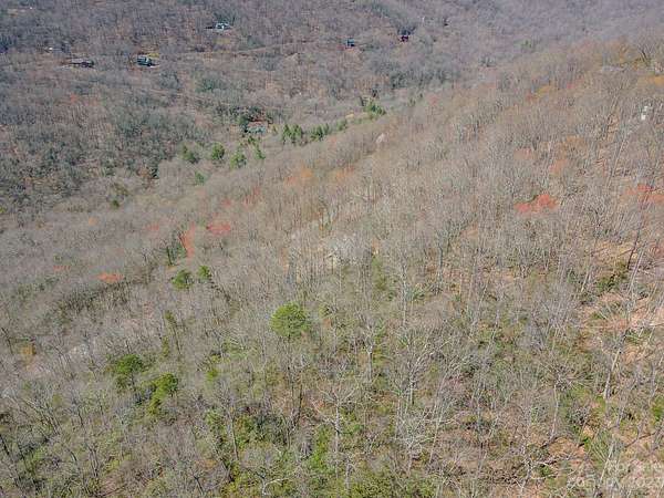
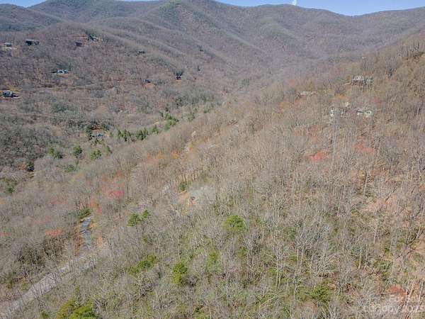
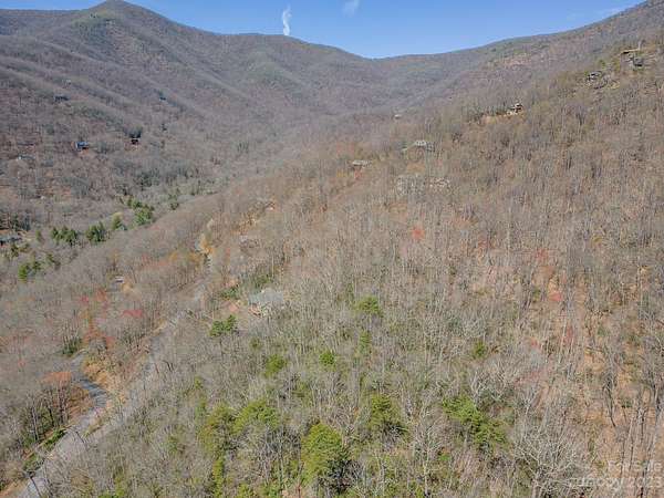
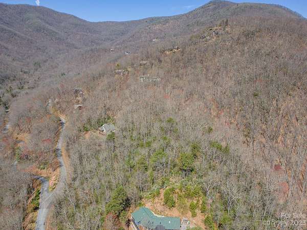
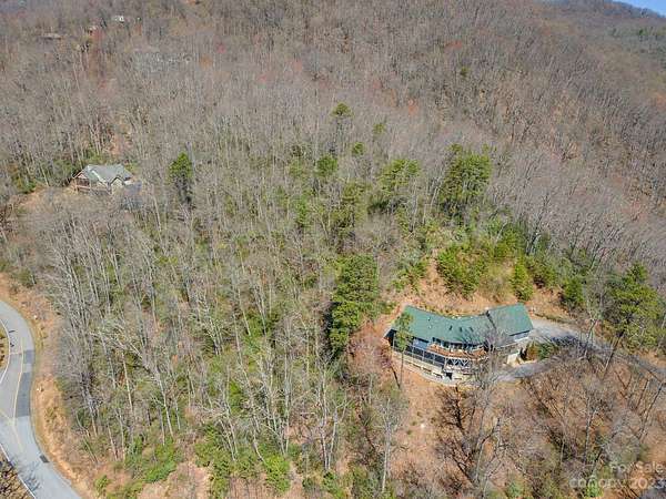
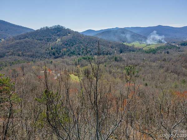
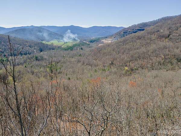
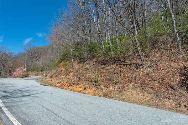
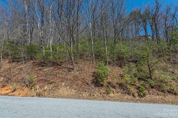
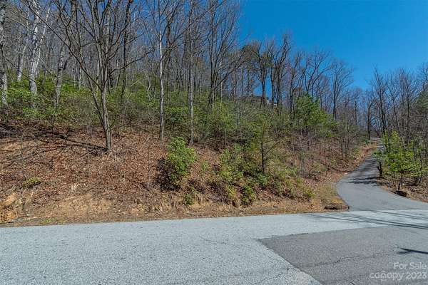
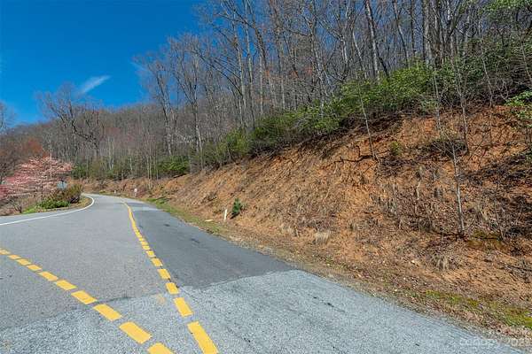
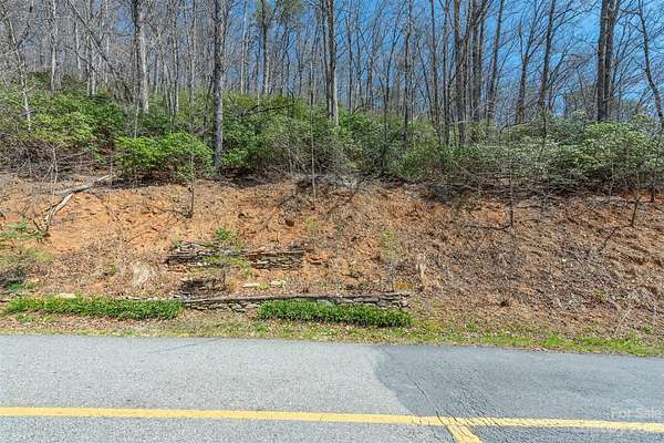
Privacy, layered VIEWS, protection by one of Black Mt's best subdivisions. Scenic proximity to B Mt/Avl downtowns with employment, shopping, recreation, schools, & inc world class arts/crafts, entertainment ctrs. FANTASTIC VIEWS of the Avl Watershed, Swannanoa/North Fork Valleys. Ridge top & ridge point views + lays well for a home & pool! Typically sloped to Sugar Maple & Winding Poplar from ~2,950' elevations but not far inside LR main gate. Get out of your car and take trail provided to ridge & SEE YOURSELF! Many LR amenities, hiking/trails, picnic by river (noisy Laurel Br), LR common areas. THIS LOT BORDERS ~5th largest US "watershed" of 13k acres. Privacy-gated entrance-abundant/diverse wildlife-over 92 neighbors-large timbers/rocky environment! LR's fire sub-station/community center above sub-station provides gathering place for private/community/family activities. LR main gate ~10 minutes (4.2mi from gate) from downtown Black Mountain & ~20-25 minutes from downtown Asheville!
Location
- Street address
- 103 Sugar Maple Dr, # 902
- County
- Buncombe County
- Community
- Laurel Ridge
- Elevation
- 2,877 feet
Directions
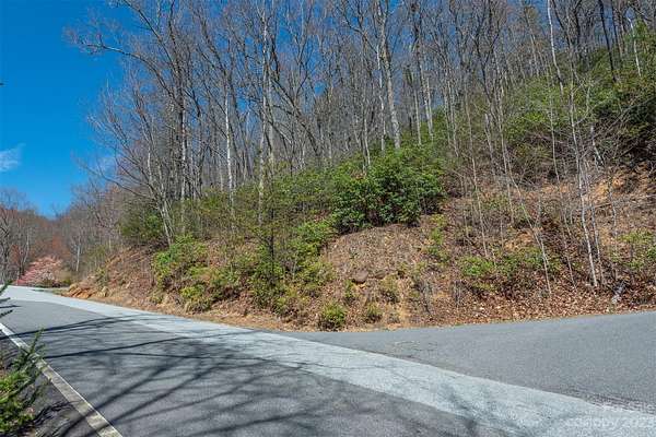
Take I40E to X64, turn L @RL, go under I-40 & cross RR, thru next 2RL, onto Montreat Rd (Hwy9N). Bear L @next fork onto N Fork Rd & then pass B Mt Golf on left. Bear L at next fork & go to bottom of mt, turn R onto N Fork Rt Fork, follow thru fields & turn L onto Sugar Maple Dr @Laurel Ridge rock. Go to LR gate, use qtrly code if unopened & proceed to next fork with Winding Poplar to right. Pull over and park left of left fork and look for Lot 902 GBR sign on right. Trail head to top of the ridge is found behind GBR sign.
Property details
- Acreage
- 2.34 acres
- Zoning
- OU
- MLS #
- CMLS 4039952
- Posted
Expenses
- Homeowner Association Fee
- $2,400 annually
Parcels
- 0701-32-6370-00000
Legal description
DB4354/1483-1485; PB62/20, LR Lot 902; B Co Zn OU; @2.34ac+/-
Details and features
Listing
- Type
- Land
- Franchise
- Independent
Lot
- View
- Water
- Features
- Creek/ Stream, Paved, Private, Steep Slope, Views, Wooded
Structure
- Sewer
- Septic Needed
Property utilities
| Category | Type | Status |
|---|---|---|
| Gas | Propane | Available |
Nearby schools
| Name | Type |
|---|---|
| Black Mountain | Elementary |
| Charles D Owen | Middle |
| Charles D Owen | High |
Listing history
| Date | Event | Price | Change | Source |
|---|---|---|---|---|
| June 16, 2025 | Price increase | $124,900 | $29,400 30.8% | CMLS |
| May 24, 2024 | Price increase | $95,500 | $5,600 6.2% | CMLS |
| June 13, 2023 | New listing | $89,900 | — | CMLS |