0.4 Acres of Residential Land for Sale in Hazard, Kentucky
11453 Highway 550 W, Hazard, KY 41701
Images
Map
Street


$8,000
0.4 acres
Active sale agoEst $81/mo
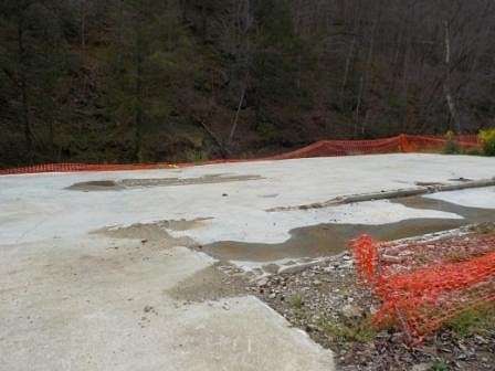
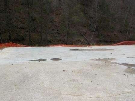
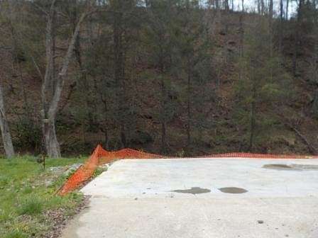
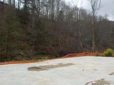
House flooded in July 2022 and has been demolished - lot is now partially concrete. Hud Case 201-472378 UI (uninsured)
Directions
US 23 North, left onto Ky 680 W, approx 15 miles, left onto Ky 80 W, continue straight for approx 23 miles, turn left onto Ky 2102 S, approx 1.8 mile, left onto 550 E, lot on right
Property details
- County
- Knott County
- Elevation
- 896 feet
- MLS Number
- EKTAR 122049
- Date Listed
Resources
Nearby schools
| Name | Level | District | Description |
|---|---|---|---|
| Knott County Central | High | — | — |
Listing history
| Date | Event | Price | Change | Source |
|---|---|---|---|---|
| Apr 18, 2024 | New listing | $8,000 | — | EKTAR |
Payment calculator
Contact listing agent
By submitting, you agree to the terms of use, privacy policy, and to receive communications.