Commercial Land for Sale in Cataumet, Massachusetts
1234 Route 28A, Cataumet, MA 02534
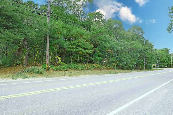
1.40+/- Acre Commercial Land 1.16 +/- Acres Upland .24+/- Acre Wetlands (From Long Pond at the Rear of Site). Convenient Location on Route 28A, with Potential Views of Cranberry Bog - Beaton Bogs. Rare Opportunity for Commercial Land on Route 28A. Good Location for all Area Amenities. Easy Access to Route 28 North and South. B2 - Zoned - Business 2 Small West Portion Zoned R40 - Residential 40. Zoning Allowed Uses include: SFH; Duplex; Farm or Nursery without retail; Use of Dwelling as temporary real estate office; Accessory Dwelling; Home occupation; Roadside stand; Up to three guest houses; Signs; Fishing-related activities; Other Accessory Uses.
Location
- Street address
- 1234 Route 28A
- County
- Barnstable County
- Community
- Bourne
- School district
- Bourne
- Elevation
- 55 feet
Directions
Route 28 From Bourne Bridge to Otis Rotary, 1st Right off Rotary, left at lights, to #1234 - Sign on site.
Property details
- Acreage
- 1.4 acres
- MLS #
- CCIAOR 22505315
- Posted
Property taxes
- 2025
- $4,082
Parcels
- 52.0-56-0
Details and features
Listing
- Type
- Land
- Zoning
- B 2
Lot
- Features
- Level, Wooded
Listing history
| Date | Event | Price | Change | Source |
|---|---|---|---|---|
| Oct 22, 2025 | New listing | $649,000 | — | CCIAOR |