0.81 Acres of Land for Sale in Fort Payne, Alabama
126 County Road 1010, Fort Payne, AL 35968
Images
Map
Street

$45,000
0.81 acres
Active sale agoEst $437/mo
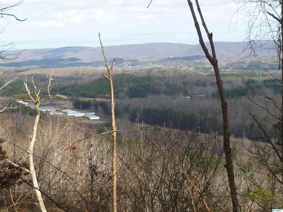
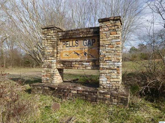
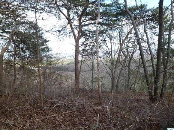
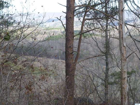
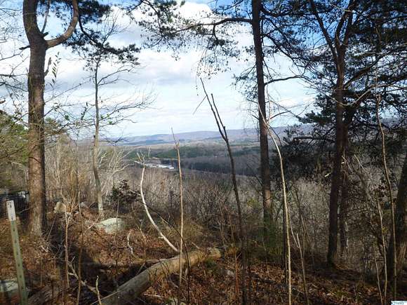
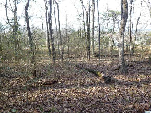
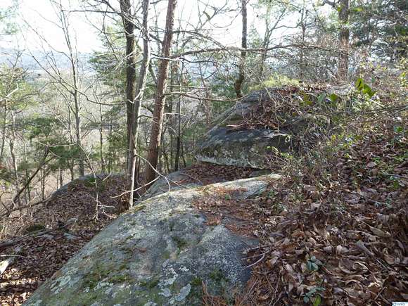
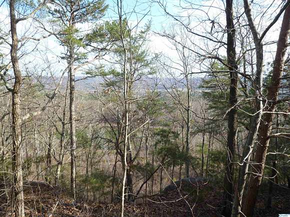
Watch the sunrise over Lookout Mountain from this Wooded Brow lot in Pell's Gap Development near Fort Payne. Public water, paved streets, restricted to site built homes and only $45,000.
Directions
From Airport Road In Fort Payne Take Co Rd 27 (Sylvania Rd) To Top Of Mountain, Turn Right On 1st Road (Co Rd 121) Go Approx. 1 Mile Turn Right Into Pells Gap Subdivision, Then First Left On Co Rd 1010 (Blue Bird Drive) 700 Ft Lot Is On The Right.
Property details
- County
- DeKalb County
- Community
- Pells Gap
- Elevation
- 1,421 feet
- MLS Number
- NALMLS 1799116
- Date Listed
Parcels
- 1404190000008.021
Detailed attributes
Listing
- Type
- Lots And Land
Lot
- Views
- Bluff
Nearby schools
| Name | Level | District | Description |
|---|---|---|---|
| Sylvania Elem School | Elementary | — | — |
| Sylvania Middle School | Middle | — | — |
| Sylvania | High | — | — |
Listing history
| Date | Event | Price | Change | Source |
|---|---|---|---|---|
| Jan 18, 2024 | New listing | $45,000 | — | NALMLS |
Payment calculator
Randy Wilson
Wilson Realty