
Land for Sale in Rosedale, Indiana
13960 N Rock Run Church Rd, Rosedale, IN 47834
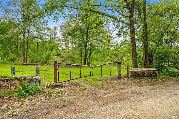
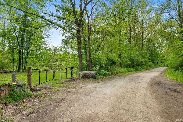
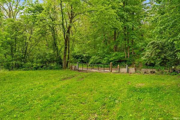
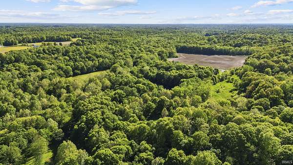
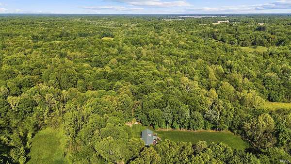
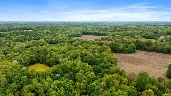
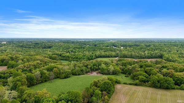
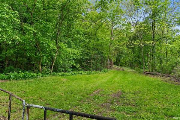
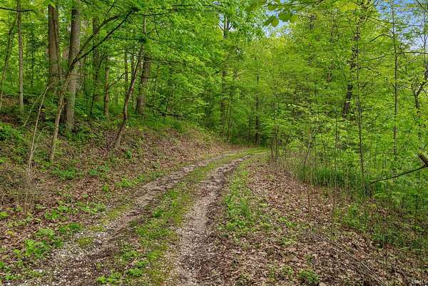
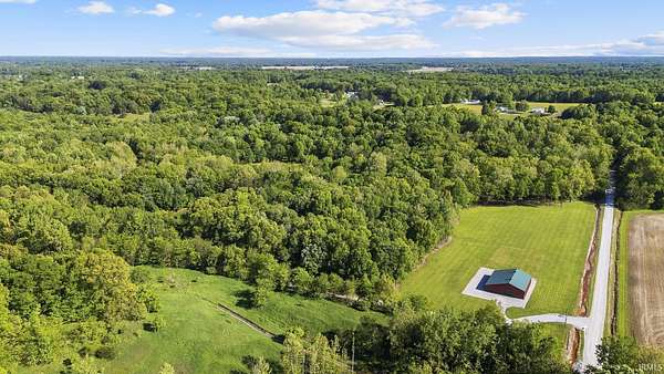
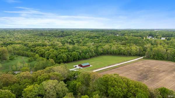
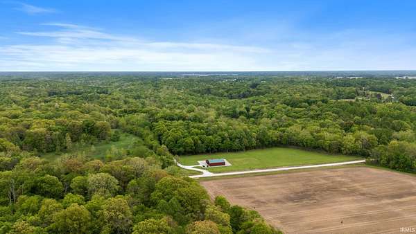
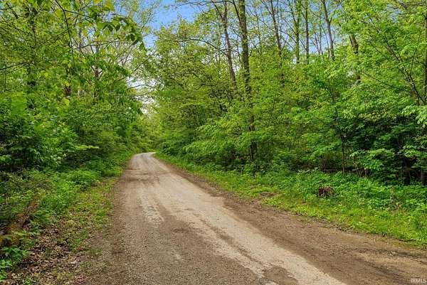
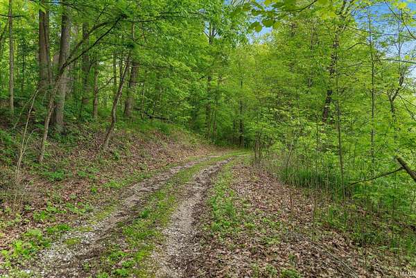
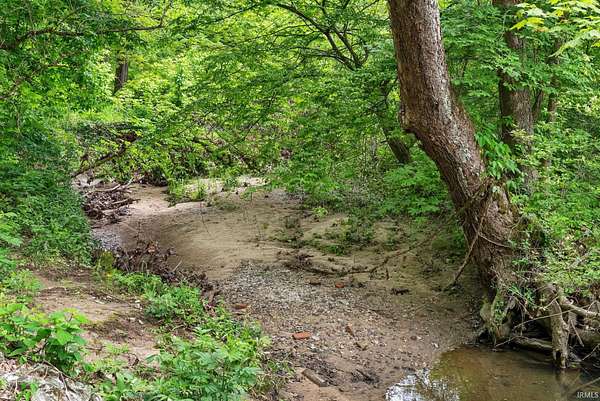
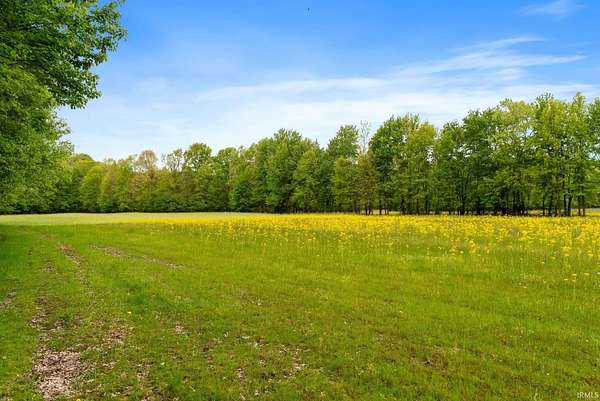
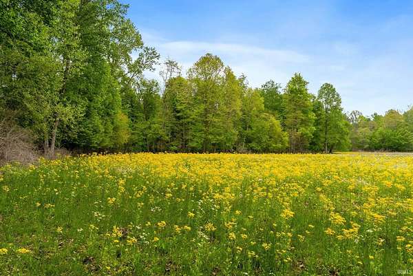
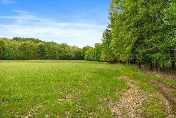
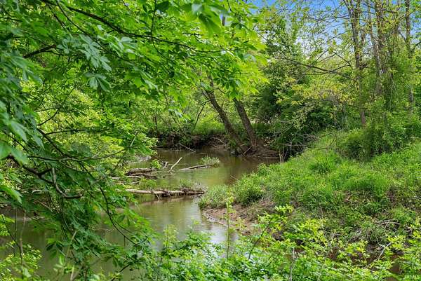
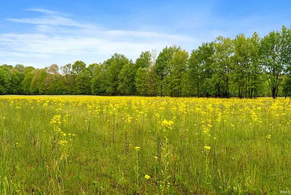
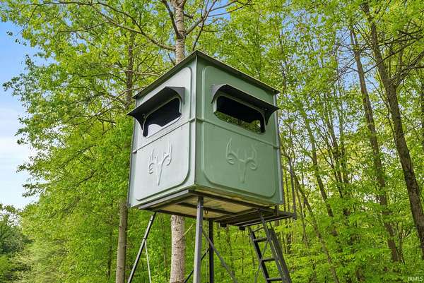
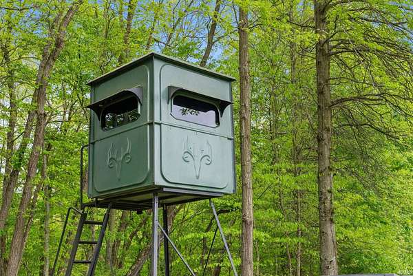
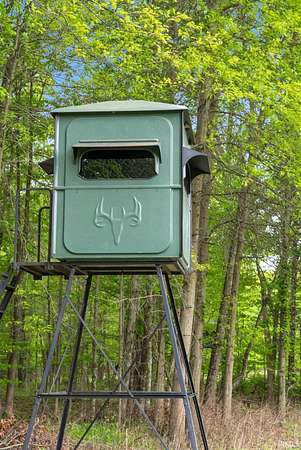
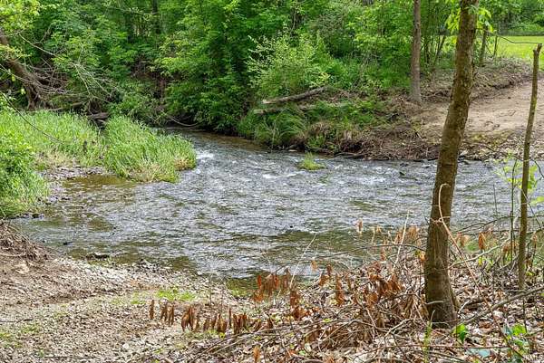
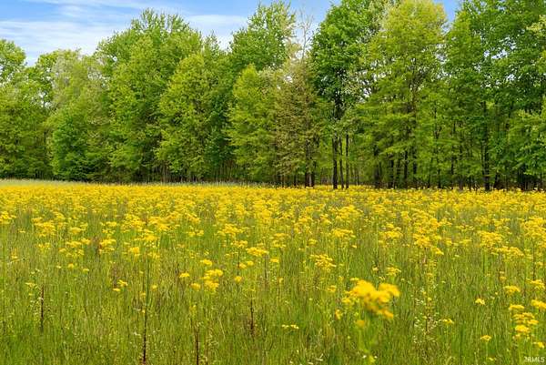
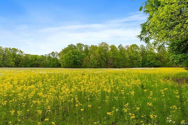
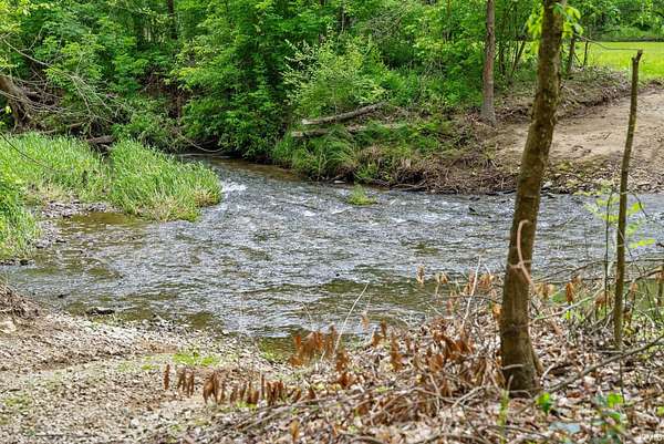
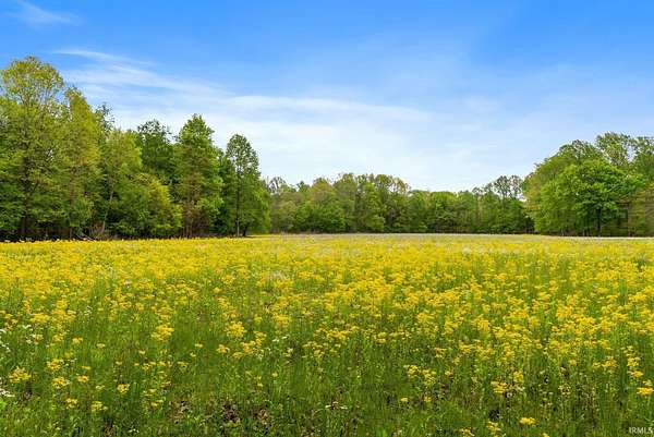
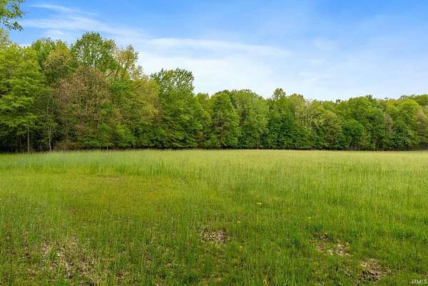
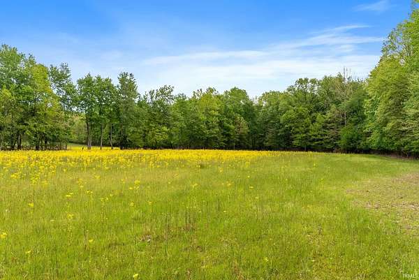
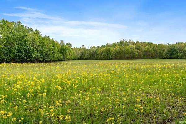
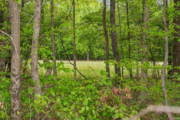
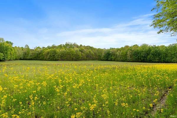
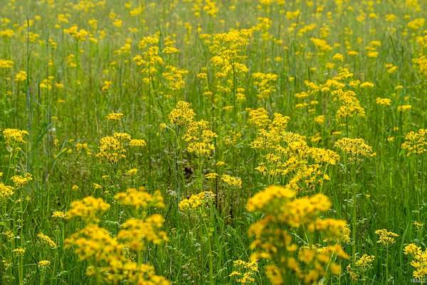
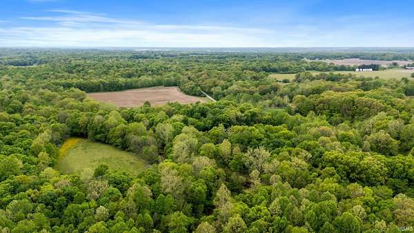
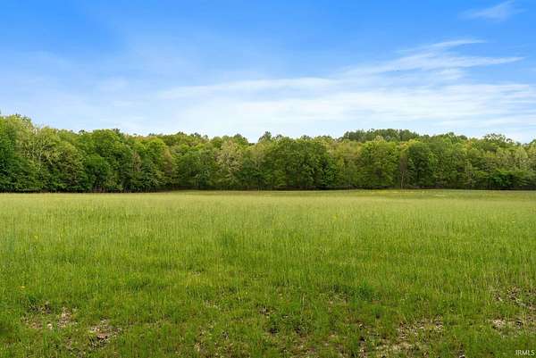
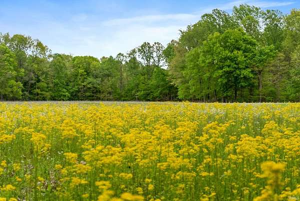
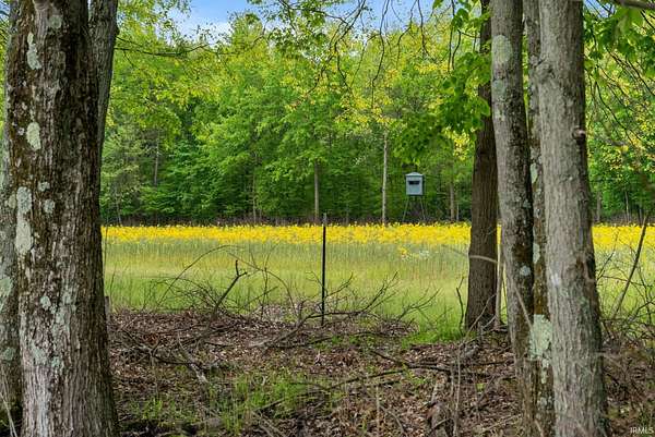
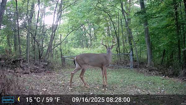
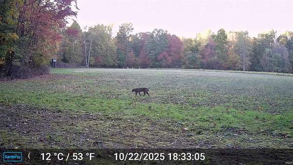
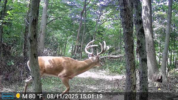
268.47 Acres of Premier Trophy Whitetail Habitat - Clay County, Indiana Exceptional 268.47-acre turnkey hunting and recreational farm designed to grow, hold, and hunt mature whitetails. This professionally managed property features approximately 31.5 tillable acres divided among 10 fields and 15 established food plots, providing year-round nutrition and multiple stand locations. In 2025, Timberland Consulting completed Timber Stand Improvement (TSI) on approximately 80 acres, enhancing bedding cover, browse production, wildlife habitat, and future timber value. The property offers outstanding access with over 10 miles of established UTV trails, including a complete perimeter trail system for low-impact entry and exit to hunting locations. Water resources are abundant, including North Branch Otter Creek, Diamond Creek, Black Run Creek, Gold Creek, a pond, wetlands, and swamp habitat, creating ideal travel corridors and year-round wildlife habitat. The diverse landscape supports trophy whitetails, wild turkey, waterfowl, and other game species. The farm is fully equipped with eight 5'x5' Redneck elevated blinds and one Muddy elevated blind, all mounted on 10-foot steel towers and strategically positioned throughout the property. Dense bedding cover, quality food sources, secluded travel corridors, extensive water features, and carefully planned access combine to create an exceptional hunting experience. Whether you're seeking a trophy whitetail property, family retreat, corporate recreation tract, or long-term land investment, this farm is ready to enjoy from day one. Seller's mineral rights transfer with the property. Parcel Numbers: 11-02-10-200-001.000-004, 11-02-04-400-003.000-004, 11-02-04-400-005.000-004, 11-02-09-100-001.000-004, 11-02-09-200-003.000-004, 11-02-04-400-002.000-004, 11-02-04-300-002.000-004.
Location
- Street address
- 13960 N Rock Run Church Rd
- County
- Clay County
- Zip code
- 47834
- School district
- Clay Community Schools
- Elevation
- 646 feet
Property details
- Acreage
- 268.2 acres
- MLS #
- BMLS 202620986
- Posted
Property taxes
- 2025
- $2,397
Parcels
- 11-02-10-200-001.000-004
Legal description
Pt NW NW 10-13-7 2.31 A Pt E1/2 SE 4-13-7 47a Pt E1/2 SW 4-13-7 80a SE Cor Pt SE SE 4-13-7 1.43 A Pt N1/2 NE 9-13-7 37a Pt NE NW 9-13-7 20.46a Pt W1/2 SE 4-13-7 80a
Details and features
Listing
- Type
- Land
Lot
- Waterfront
- Creek
- Features
- Flood Plain, Rural, Tillable, Undeveloped, Wetlands
Nearby schools
| Name | Type | District |
|---|---|---|
| East Side | Elementary | Clay Community Schools |
| North Clay | Middle | Clay Community Schools |
| Northview | High | Clay Community Schools |
Listing history
| Date | Event | Price | Change | Source |
|---|---|---|---|---|
| June 1, 2026 | New listing | $1,475,000 | — | THAAR |