Land for Sale in Flat Rock, Alabama
152 County Road 971, Flat Rock, AL 35966
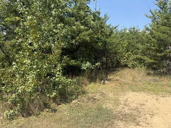
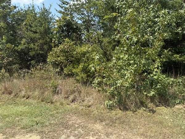
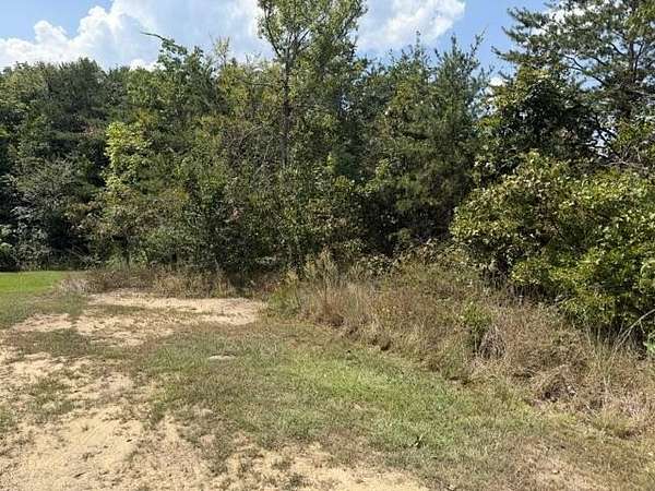
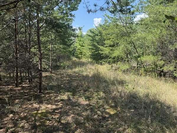
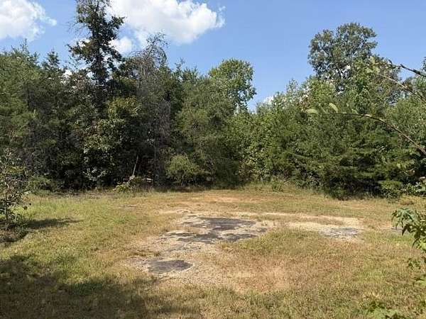
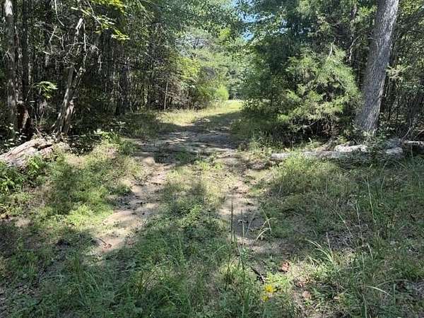
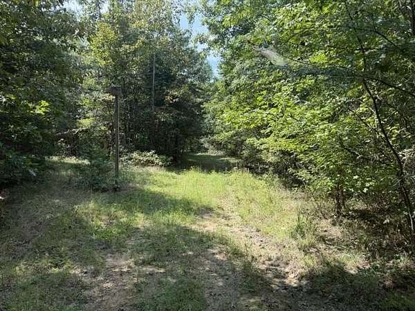
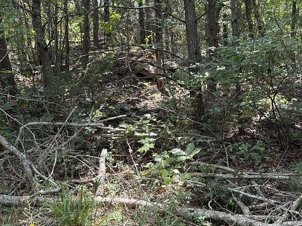
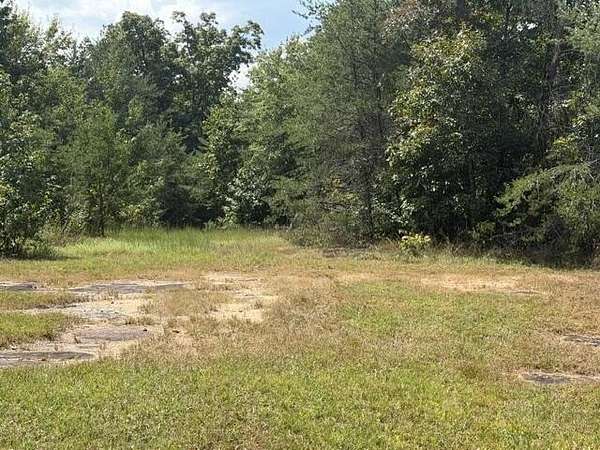
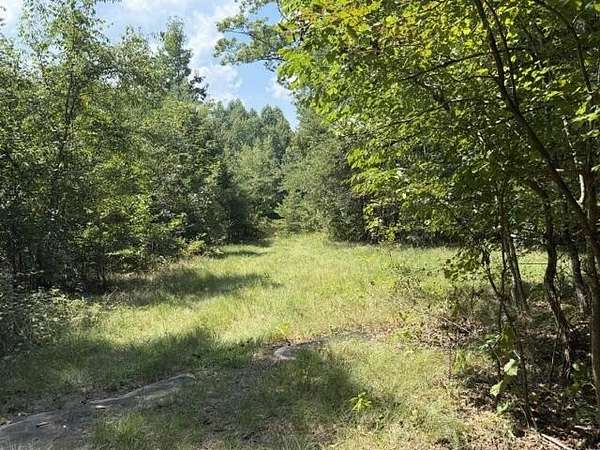
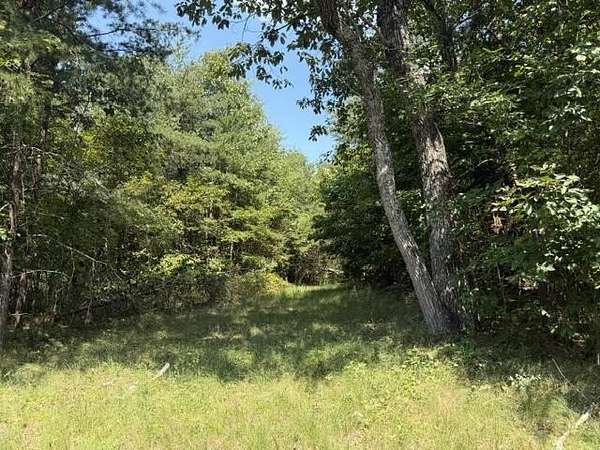
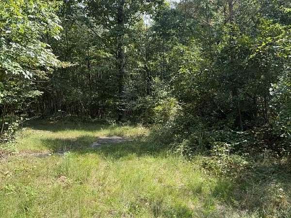
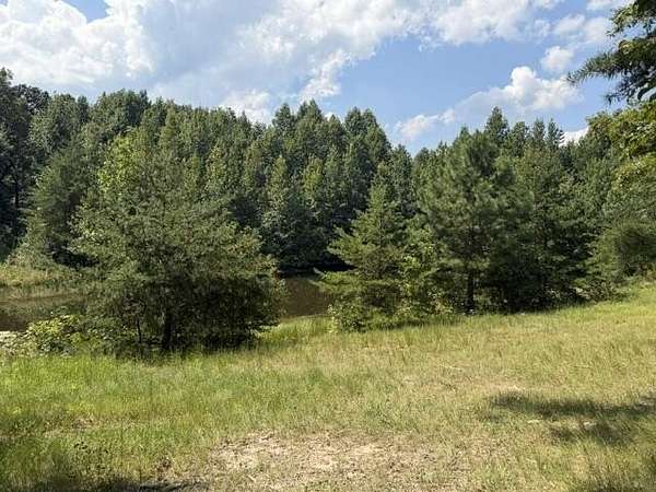
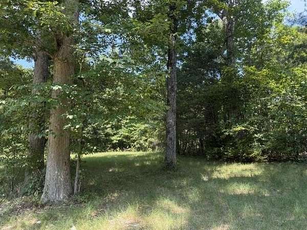
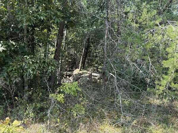
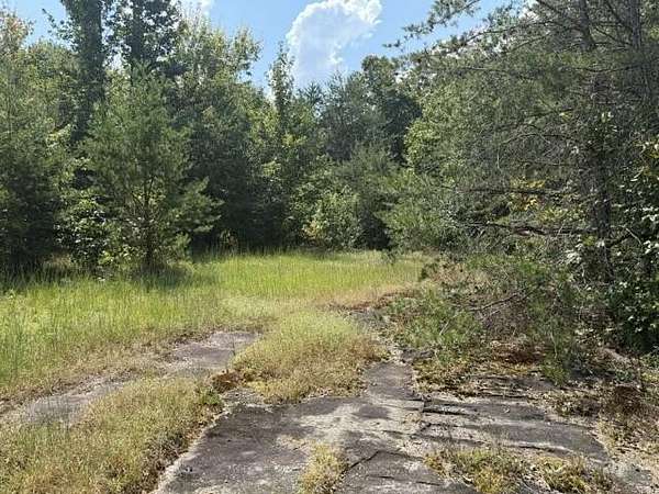
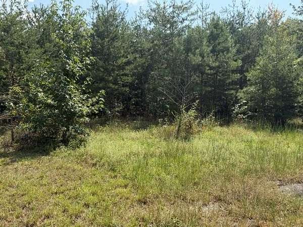
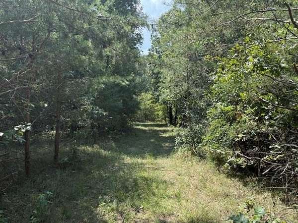
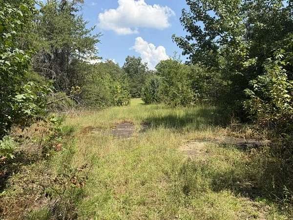
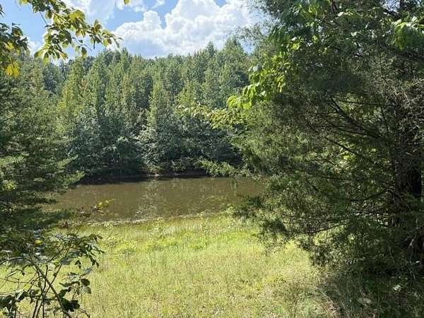
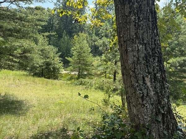
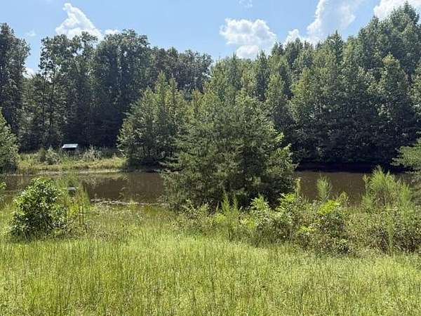
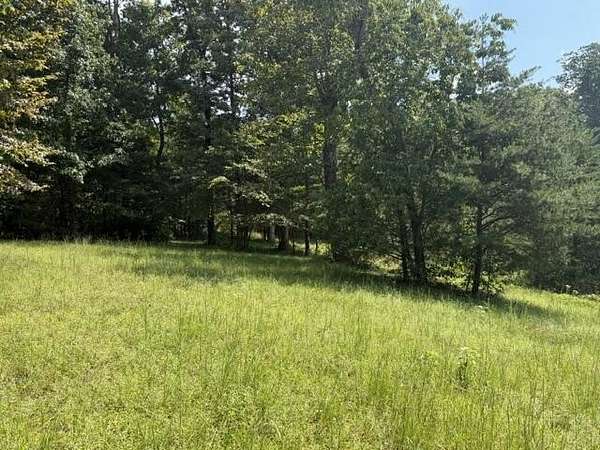
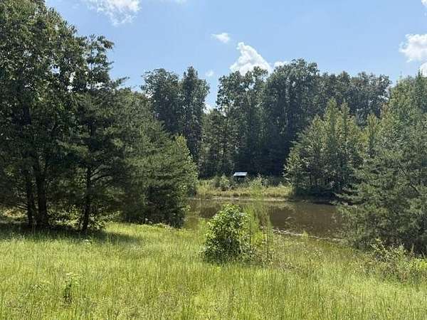
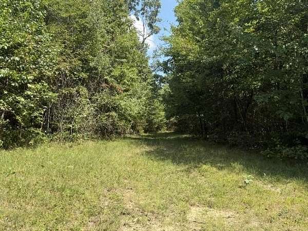
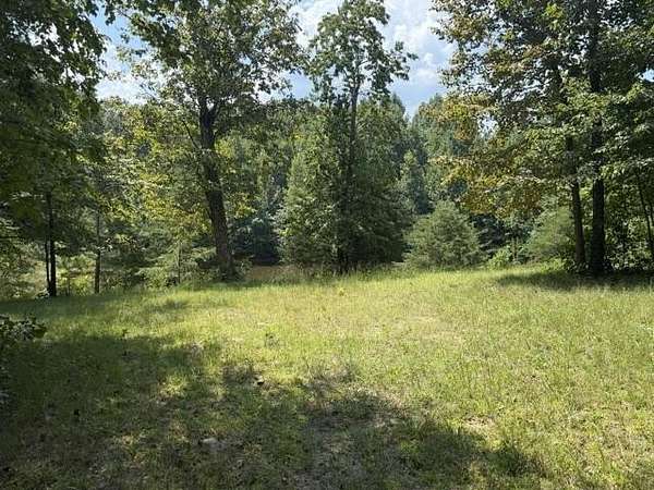
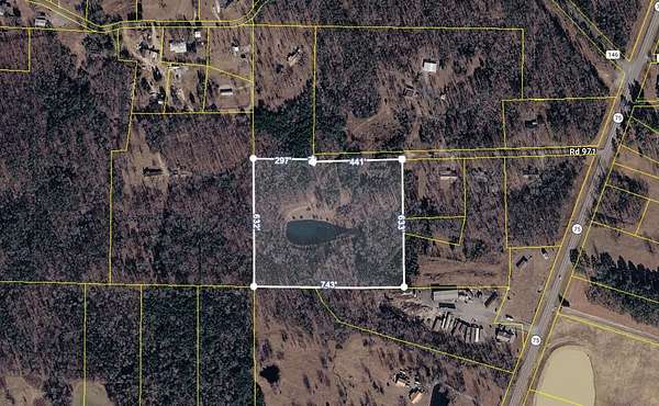
Create Your Dream Country Estate, Family Retreat, or Rental Community Welcome to 152 County Road 971 in Flat Rock, Alabama, where approximately 10 acres of level, usable land offer an exceptional setting for your next vision. Mature trees provide natural beauty and privacy, while a picturesque 1 1/2 to 2-acre, year-round pond creates a peaceful centerpiece for the property. Build a private country estate, establish a small family farm or homestead, create a multigenerational retreat, or explore the potential for cabins, vacation rentals, or a thoughtfully designed rental community. With generous acreage and a mostly level landscape, the property offers flexibility for homesites, gardens, livestock, recreational areas, walking trails, and outdoor gathering spaces. Enjoy quiet country living while remaining conveniently positioned between Huntsville and Chattanooga--two of the Southeast's growing employment, entertainment, and economic centers. Whether you envision a peaceful weekend escape, an income-producing investment, or a permanent home surrounded by nature, this unique property provides the land, water, and possibilities to bring that vision to life. Schedule your private tour and discover the potential of this beautiful Flat Rock property. All proposed uses are subject to applicable zoning, permitting, utility availability, and governmental approval.
Location
- Street address
- 152 County Road 971
- County
- DeKalb County
- Zip code
- 35966
- Elevation
- 1,540 feet
Directions
From Downtown Chattanooga take I59 towards Nashville with Birmingham onto I-24 W, take left exit 167 towards Birmingham onto I-59S, Take exit 11 toward GA136/Trenton, turn right onto W GA136, turn Left onto S GA 301, Continue on AL highway 75, turn right onto County road 787.
Property details
- Acreage
- 10.7 acres
- Zoning
- A-1
- MLS #
- CAR 1542064
- Posted
Property taxes
- Recent
- $25
Parcels
- 03-02-09-0-000-028.001
Legal description
CONT 10.7 AC(C) S9 T3S R10EPT OF SW-NW DESC AS: BEG SW COR OF 1/4 1/4; TH N 632' E 738' S 632' W 742' TO POB
Details and features
Listing
- Type
- Land
- Zoning
- Agricultural District
Lot
- Features
- Agricultural, Many Trees
Structure
- Water
- Public
Nearby schools
| Name | Type |
|---|---|
| Ider Elementary | Elementary |
| Ider Middle | Middle |
| Ider High | High |
Listing history
| Date | Event | Price | Change | Source |
|---|---|---|---|---|
| Sept 3, 2026 | New listing | $175,000 | — | REALTRACS |