Residential Land for Sale in Century, Florida
1845 W Highway 4, Century, FL 32535
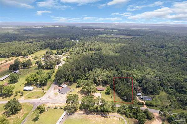
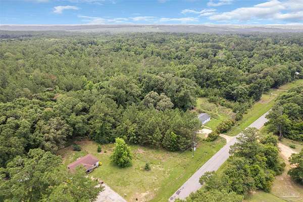
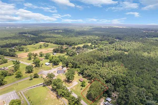
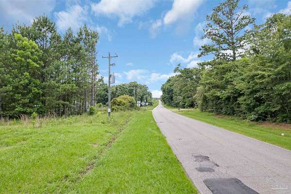
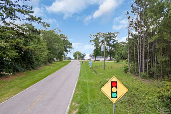
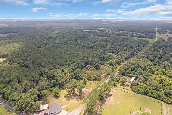
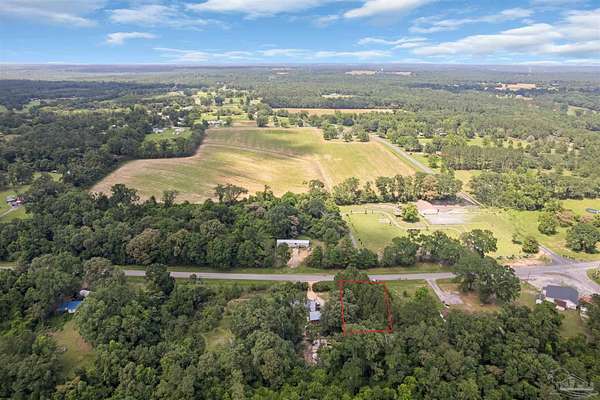
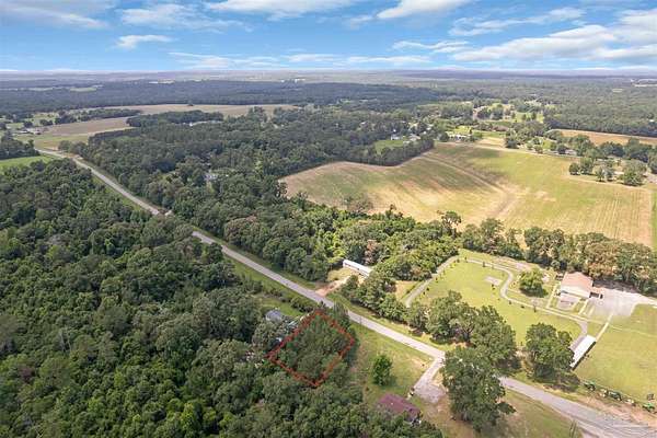
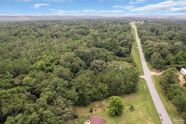
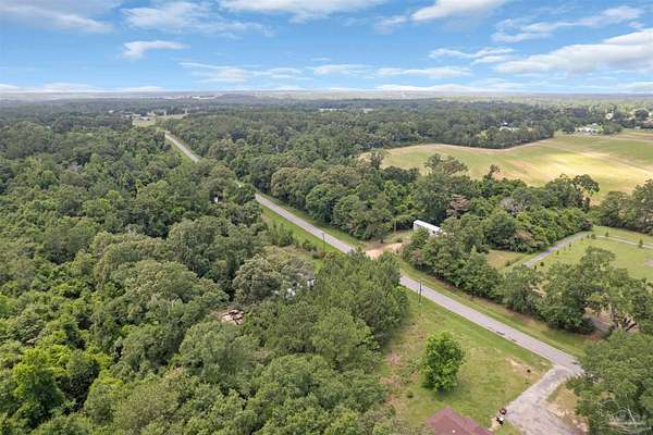
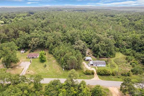
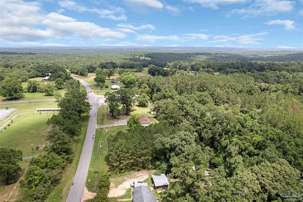
Byrneville Area | 0.61+/- Acre on Hwy 4 | Paved Road Frontage - If you've been waiting on an affordable lot in the Byrneville community, this one's worth a look. This 0.61+/- acre wooded parcel offers 140 feet of paved frontage on Hwy 4, with mature pines providing a natural backdrop and a head start on privacy. The lot sits within walking distance of the Byrneville Community Center and less than a quarter mile from Byrneville Elementary School. It's tucked into a quiet pocket of North Escambia County in the Florida Panhandle - close to Century, Jay, and Atmore, and under an hour to Pensacola. Public water is available in the area, and electricity and telephone run nearby; buyer is responsible for verifying all utilities and any tap, connection, or related fees. RMU zoning allows for a site-built home or mobile home, with agricultural and certain business uses also permitted under the county's land development code. No HOA, no city limits - flexibility that's getting harder to find. Priced for an easy entry into land ownership. Buyer to verify all information during due diligence.
Location
- Street address
- 1845 W Highway 4
- County
- Escambia County
- Zip code
- 32535
- Elevation
- 257 feet
Directions
From 1812 S Main St, Atmore, head south on S Main St (AL-21), which becomes Hwy 97 (Atmore Hwy) at the FL state line. Continue south on Hwy 97 approx. 2.5 mi and Turn left onto Hwy 4. Go east approx. 10 mi through Bratt. Continue through the traffic light at Byrneville Rd; property is shortly ahead on the right. Sign on property.
Property details
- Lot size
- 0.608 acres26,484 sq ft
- Zoning
- Agricultural, Business, County, Mobile Homes, Res Single
- MLS #
- PAR 684145
- Posted
Parcels
- 105N312404000000
Legal description
BEG AT INTER OF SLY R/W LI OF HWY 4 CIR CURVE CONC TO N (100 FT R/W) & CENTER LI OF HWY 4-A WLY ALG R/W & CURVE (TANG BRG S 87 DEG 56 MIN 11 SEC W DELTA 8 DEG 36 MIN 20 SEC RADIUS 2596 64/100 FT) ARC DIST 390 FT FOR POB CONT WLY ALG R/W & CURVE (TANG BRG S 83 DEG 27 MIN 29 SEC E DELTA 3 DEG 5 MIN 21 SEC RADIUS 2596 64/100 FT) ARC DIST 140 FT S 0 DEG 30 MIN 24 SEC W 204 61/100 FT TO N LI OF HARRIS PROP S 88 DEG 48 MIN 25 SEC E 138 50/100 FT N 0 DEG 30 MIN 24 SEC E 187 83/100 FT TO POB OR 5614 P 1341
Details and features
Listing
- Type
- Land
Lot
- Waterfront
- Waterfront
- Features
- Central Access, No Improvements, Wooded
Structure
- Water
- Public
Nearby schools
| Name | Type |
|---|---|
| Bratt | Elementary |
| Ernest Ward | Middle |
| Northview | High |
Listing history
| Date | Event | Price | Change | Source |
|---|---|---|---|---|
| June 11, 2026 | Under contract | $17,000 | — | PAR |
| June 10, 2026 | New listing | $17,000 | — | BCAR |