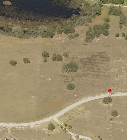
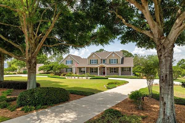
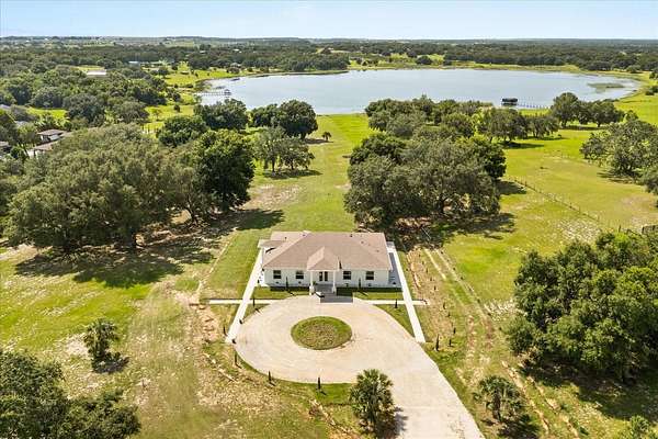
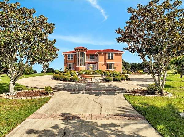
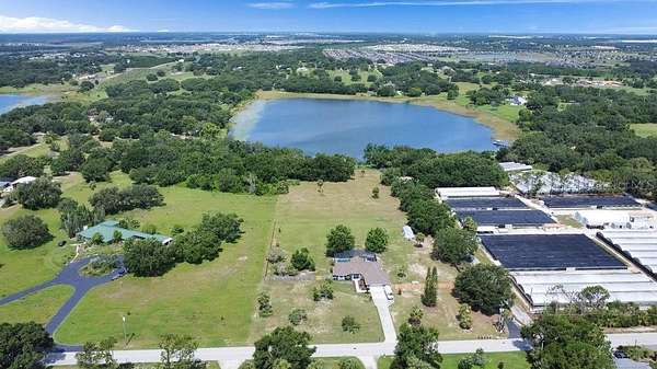
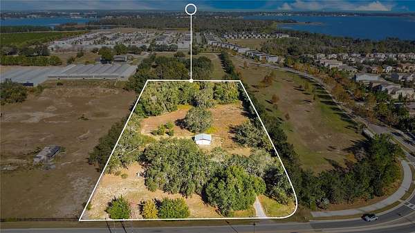
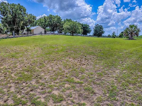
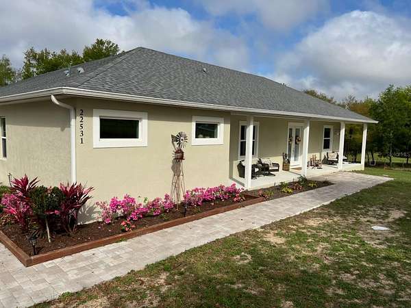
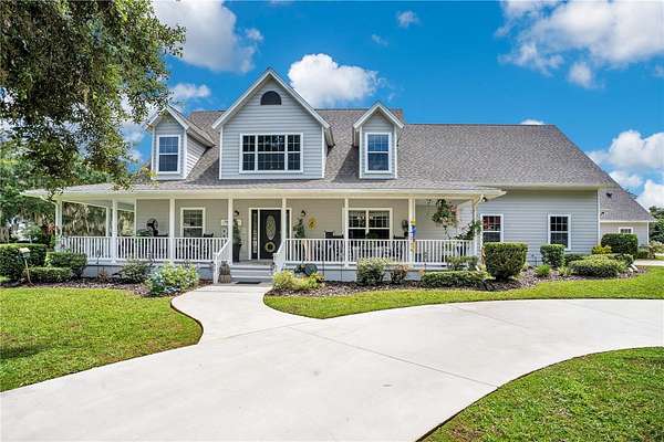
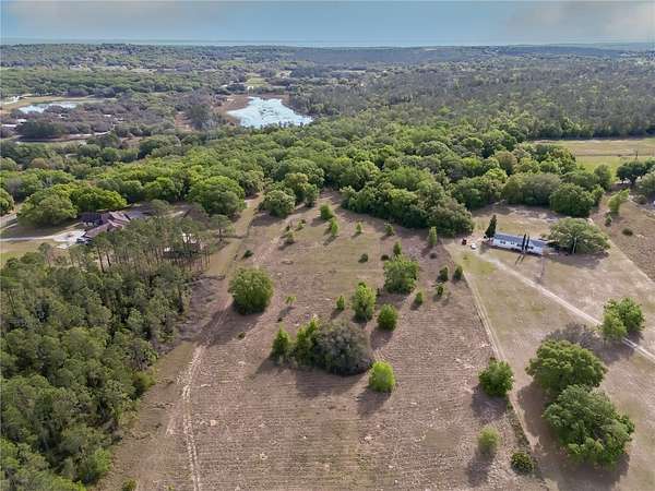
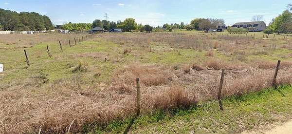
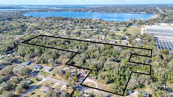
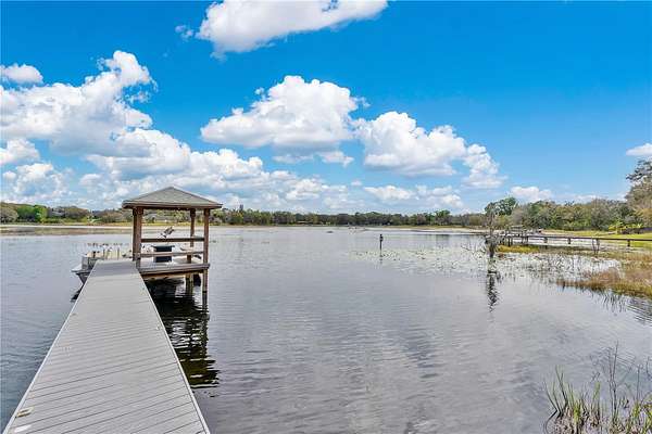
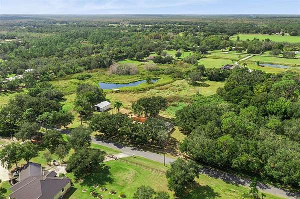
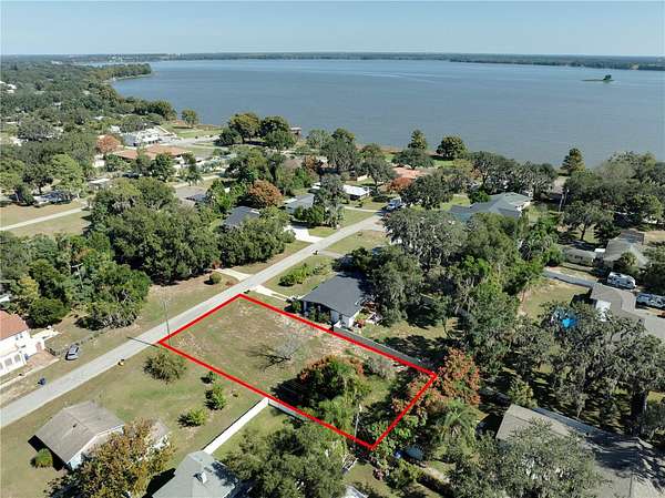
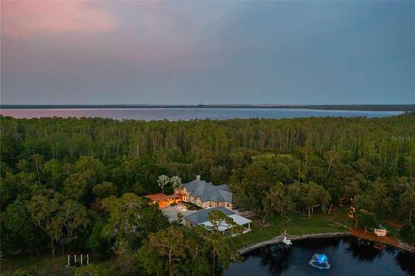
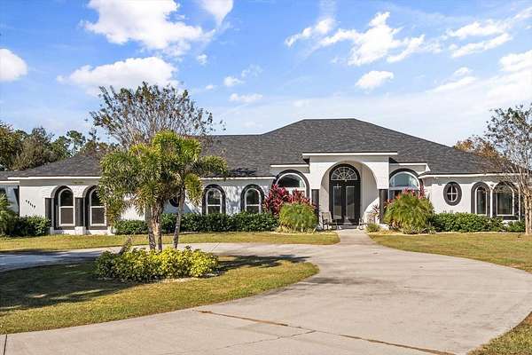
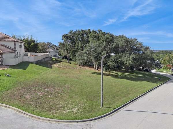
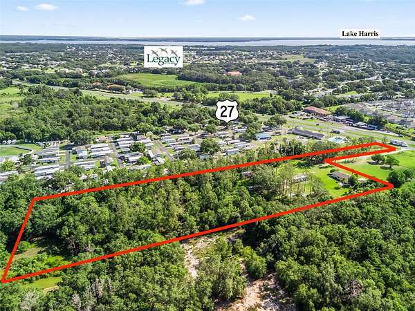
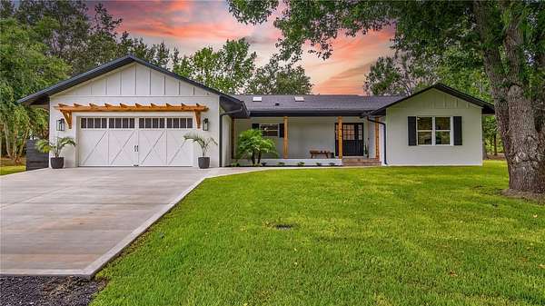
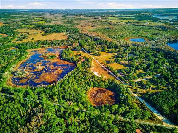
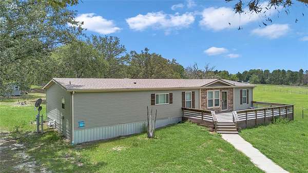
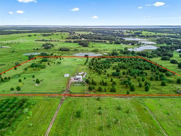
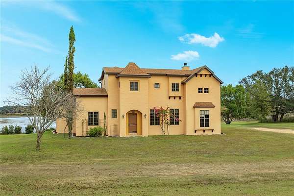
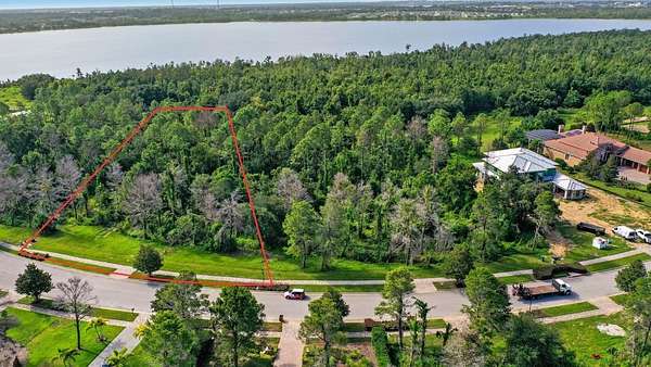
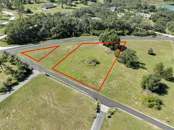
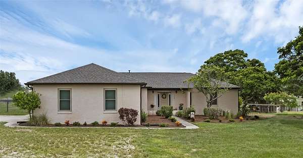
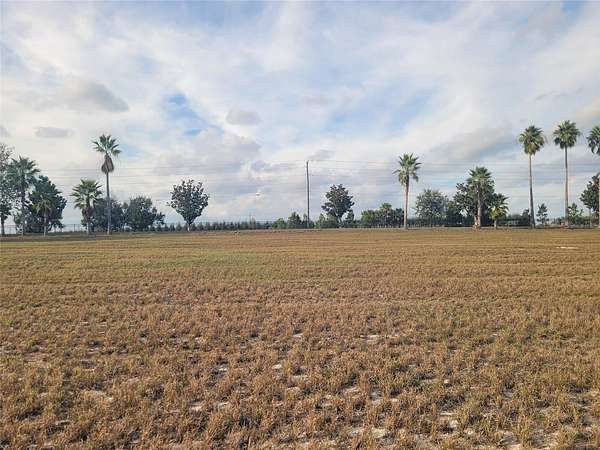
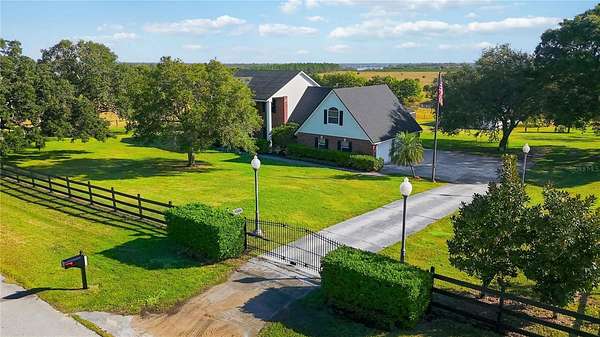
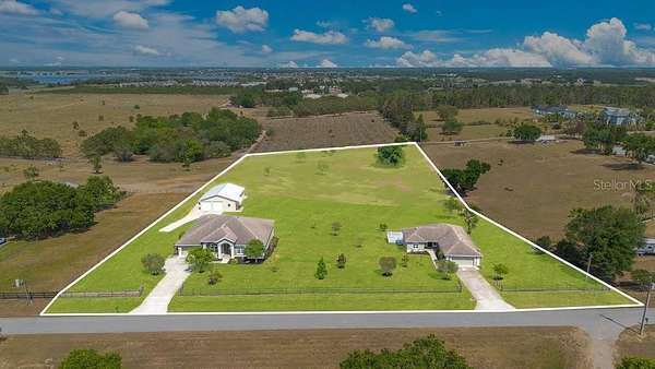
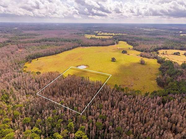
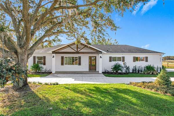
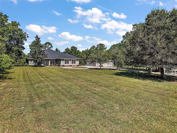
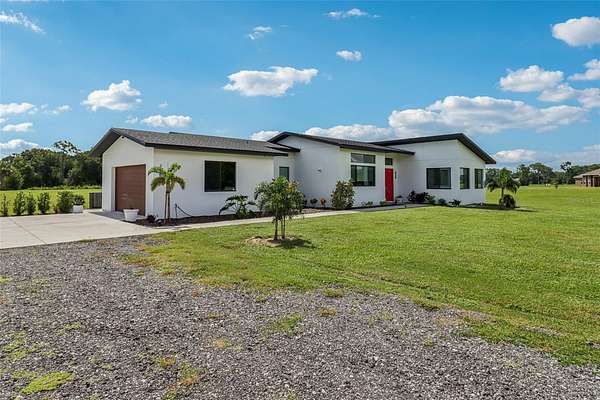
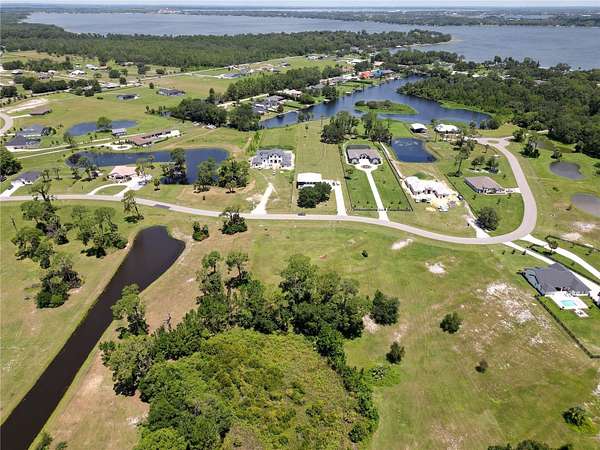
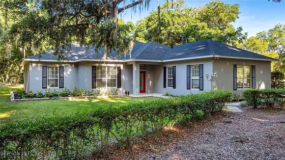
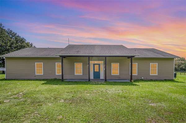
14.2 Acres of Commercial Land for Sale in Minneola, Florida
18537 US Highway 27, Minneola, FL 34715
14.16 Acre Commercial Parcel just minutes from the new Turnpike Interchange in Minneola! Buyers' loan fell through making this parcel available at a great price! Located in the fast growing areas of Minneola and Clermont with new home subdivisions and commercial developments on the rise, this highly visible parcel has 584 feet of highway frontage with a full median opening and is zoned B-1 (General Commercial) which allows for many different permitted uses such as Offices, Retail Sales and Services, Medical Clinic, Restaurant, Learning Center and more. The City of Minneola has advised they will not consider any residential uses, automotive, indoor or outdoor storage or any type of business that supports tobacco. All utilities are located at the perimeter of the site such as Water, Sewer, High Fiber. Traffic count is currently 31,000 vehicles per day; 13.66 acres are high and dry and ready for your business. Survey, Topo and Geo Tech Report are available for review. LIVE LOCAL ACT - If you are looking for something that will work for the affordable housing act, this property WILL, however the City of Minneola is requiring this property to have VERTICAL MIXED USE.
Directions
From Hwy 50 take US HWY 27 North through Minneola to property on the left before CR 561. From Turnpike take Hancock Rd. North to Left on CR 561A. Go Left at the light on CR 561 to Left on US Hwy 27, property is on the right.
Property details
- County
- Lake County
- Zoning
- B-1
- Elevation
- 92 feet
- MLS Number
- MFRMLS G5056023
- Date Listed
Legal description
BEG AT 232 FT E OF SW COR OF NE 1/4, RUN S 89-11-55 E ALONG S LINE 1280.66 FT TO W'LY R/W LINE OF US HWY 27, N 08-0-30 W ALONG SAID W'LY R/W LINE 473.45 FT TO A LINE PARALLEL WITH & 467.86 FT N OF S LINE OF NE 1/4, CONT N 08-0-30 W ALONG SAID W'LY R/W LINE 111.19 FT TO A POINT THAT IS S LINE OF BISHOP'S POINT SUB PB 12 PG 24, S 88-36-53 W ALONG SAID S LINE OF SUB 624.08 FT TO SW COR OF SAID SUB, S 16-41-58 W 120.86 FT TO A LINE THAT IS N LINE OF S 467.86 FT N OF S LINE OF NE 1/4, N 89-11-56 W TO A POINT N 0-22-23 W OF POB, S 0-22-23 E 467.86 FT TO POB ORB 5575 PG 360
Parcels
- 36-21-25-0001-000-00900
Property taxes
- 2021
- $15,316
Listing history
Date | Event | Price | Change | Source |
---|---|---|---|---|
Oct 30, 2023 | Back on market | $1,500,000 | — | MFRMLS |
Aug 30, 2023 | Under contract | $1,500,000 | — | MFRMLS |
June 26, 2023 | Back on market | $1,500,000 | — | MFRMLS |
Apr 13, 2023 | Under contract | $1,500,000 | — | MFRMLS |
Feb 24, 2023 | New listing | $1,500,000 | — | MFRMLS |