Residential Land for Sale in Salida, Colorado
1930 County Road 45, Salida, CO 81201
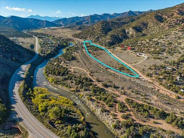
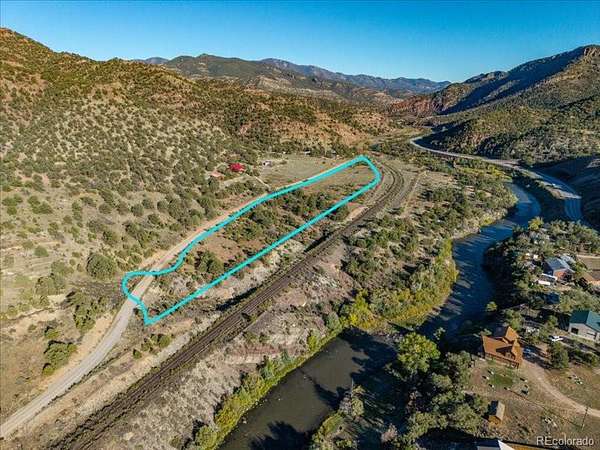
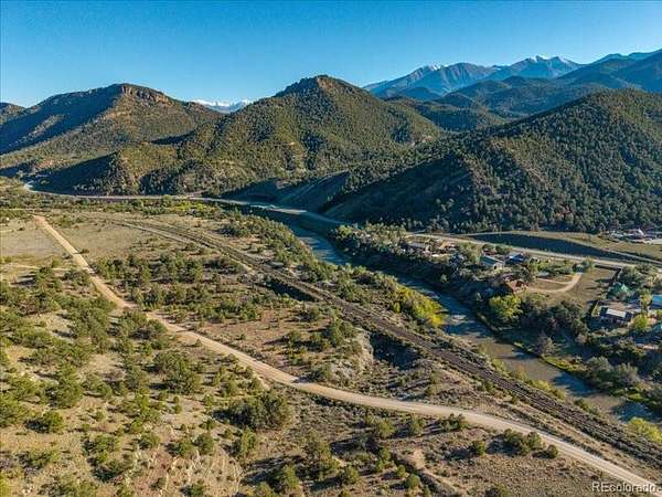
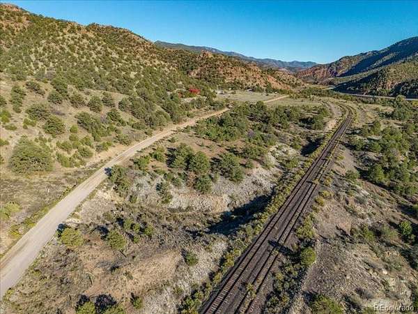
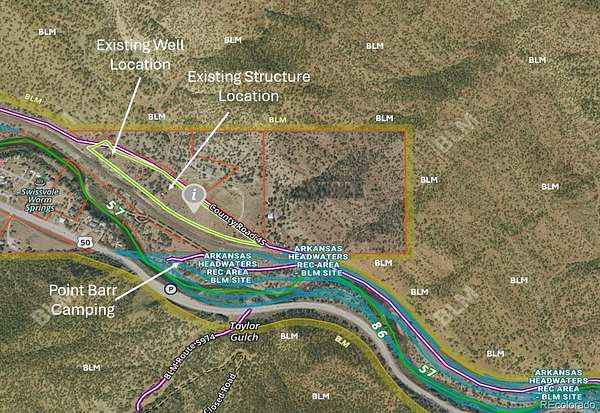
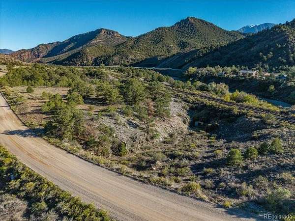
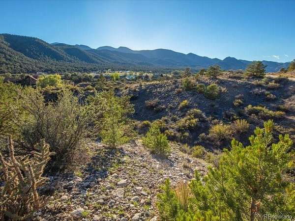
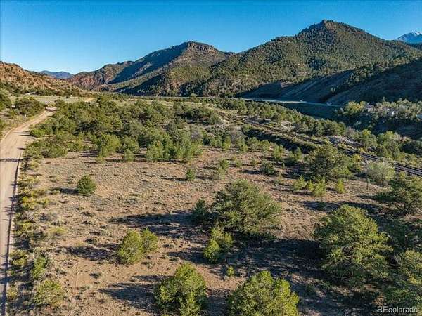
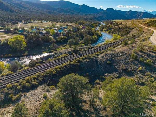
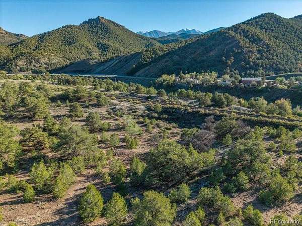
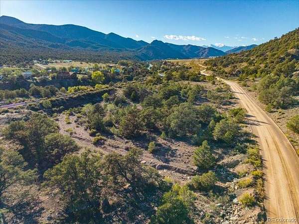
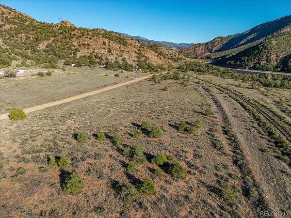
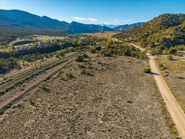
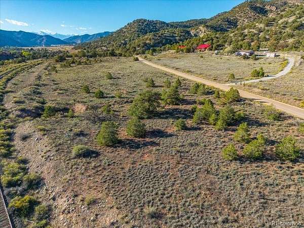
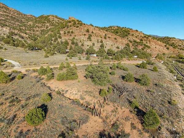
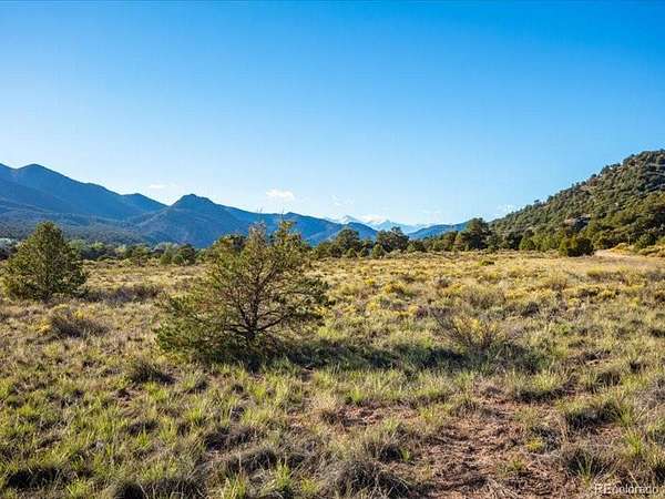
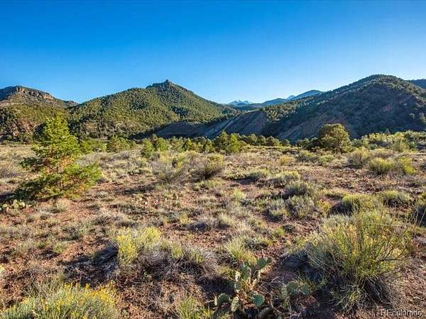
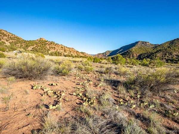
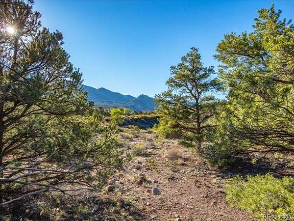
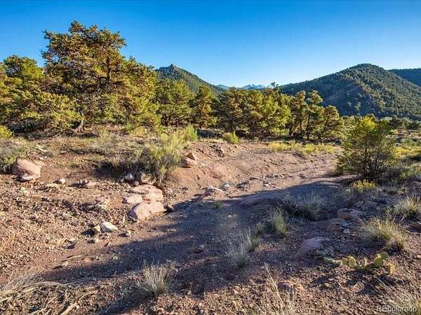
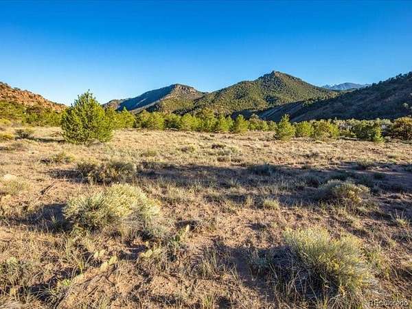
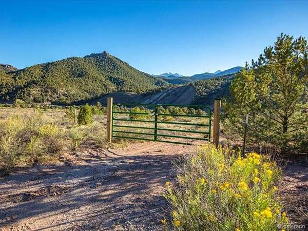
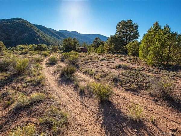
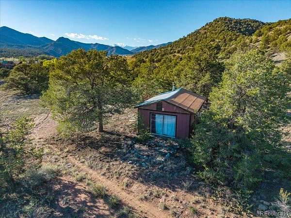
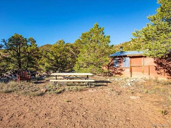
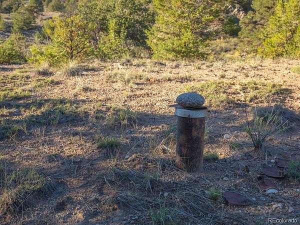
If your Colorado dream homesite includes close proximity to public lands and the Gold Medal Waters of the Arkansas River, this 6.9-acre level parcel is the ideal location. The land offers spectacular views of the Sangre de Cristo Mountains and the Sawatch Range and is located approximately 15 minutes from Salida. It features easy access via well-maintained county roads, plenty of privacy, no HOA or covenants, and an existing well is already drilled. There is a 16 X 20 outbuilding (sold as-is) with a concrete floor, wood-burning stove and a sliding glass door to enjoy the views. The southeast corner of the lot adjoins the Arkansas Headwaters Recreation Area-BLM site with river access & campsites. You will enjoy immediate proximity to fishing, rafting, gold mining, hiking, biking, the nearby Salida creative arts district, and skiing at Monarch Mountain.
- Listed by Shawn Allison, (719) 539-6682, Century 21 Community First
Location
- Street address
- 1930 County Road 45
- County
- Fremont County
- Zip code
- 81201
- Community
- M&B
- School district
- Salida R-32
- Elevation
- 8,079 feet
Directions
From Salida, head East on Highway 50. Turn left on County Road 7 to cross over the Arkansas River & proceed .9 miles & continue on County Road 45 for 1.3 miles. The property will be on your right. Park near the green gate to access the property. You will need the lock code to proceed through the gate.
Go & Show
Property details
- Acreage
- 6.9 acres
- Zoning
- Residential
- MLS #
- REcolorado 7057221
- Posted
Property taxes
- 2025
- $4,854
Parcels
- 98304394
Legal description
SUBD: M & B OR UNKNOWN A TR OF LD IN SW4SE4SE4SW4 SEC 20-49-10 TR-139 DESC AS FOLL: BEG AT A PT 72.51 FT N OF THE E4 AND SE COR OF THE SD SW4 OF THE SE4; TH NWLY ALG THE SLY LN OF THE EXISTING CO ROAD R/W; TO A PT 330 FT W AND 180 FT S OF THE NW COR OF THE SD SW4 OF THE SE4; BEING A PT ON THE NLY LN OF D&RGW R/R R/W; TH SELY ALG THE D&RGW R/W; 1941.98 FT TO THE POB; RES THEREFROM AN EASEMENT FOR A 30 FT R/W OVER AND ACROSS THE ABOVE DESC PREMISES; THE C/L OF WH IS DESC AS FOLL; COMM AT A PT ON T HE N R/W LN OF D&RGW R/W PT BEING 72.51 FT N OF THE SE COR OF THE SW4SE4 OF SEC 20-49-10; TH N 80 DEG 3 5'00"W 104.89 FT ALG THE NLY R/W LN TO A PT; TH ON A CURVE TO THE RGT 400 FT NWLY ALG SD NLY R/W LN TO T HE POB OF THE CENTERLINE OF THE ROADWAY
Resources
Details and features
Listing
- Type
- Land
- Subtype
- Improved Land
- Current Use
- Vacant
- Possible Use
- Residential
- Ownership
- Individual
- Terms
- 1031 Exchange, Cash, Conventional
- Exclusions
- Seller's Personal Property
- Possession
- Immediate
Lot
- Vegetation
- Pinon Pines
- Road Frontage
- Public, Year Round
- Road Surface
- Dirt
- Road Responsibility
- Public Maintained Road
- View
- Mountain(s), Water
- Well Type
- Private
- Well Usage
- Household Inside Only
- Well Permits
- 112846
- Features
- Borders Public Land, Level
Exterior
- Parking Spaces
- 6
- Parking
- Unpaved
- Fencing
- Partial
- Horses Allowed
- Yes
Structure
- Water
- Well
- Sewer
- Septic Tank
Property utilities
| Category | Type | Status |
|---|---|---|
| Sewage | Septic System | Available |
| Water | Private Well | Available |
Listing history
| Date | Event | Price | Change | Source |
|---|---|---|---|---|
| Oct 7, 2026 | New listing | $395,000 | — | REcolorado |
Payment calculator

Based on information submitted to the MLS GRID as of Oct 9, 2026 9:00 pm MT. All data is obtained from various sources and may not have been verified by broker or MLS GRID. Supplied Open House Information is subject to change without notice. All information should be independently reviewed and verified for accuracy. Properties may or may not be listed by the office/agent presenting the information. Some IDX listings have been excluded from this website. View more