Agricultural Land for Auction in Manson, Iowa
1935 County Road N65, Manson, IA 50563
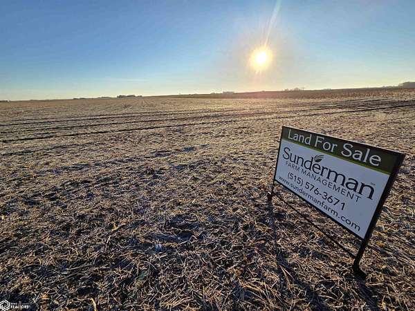
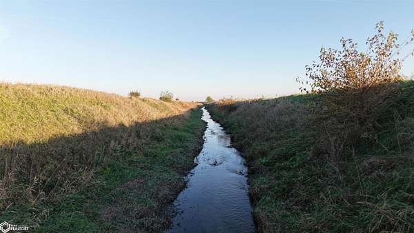
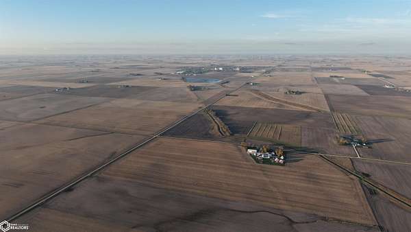
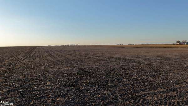
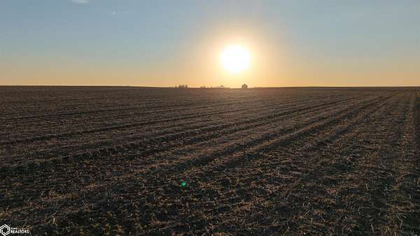
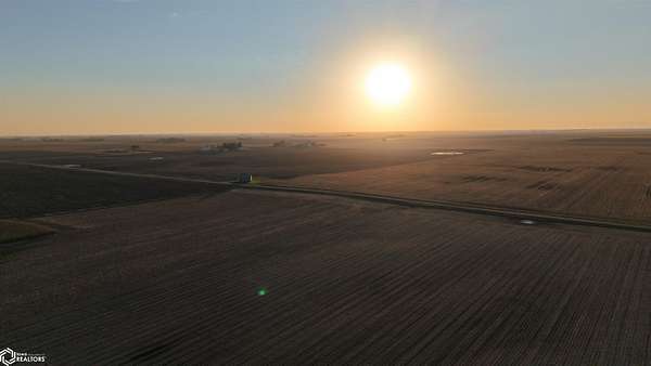
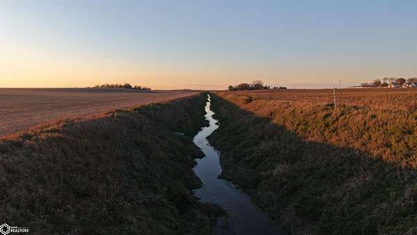
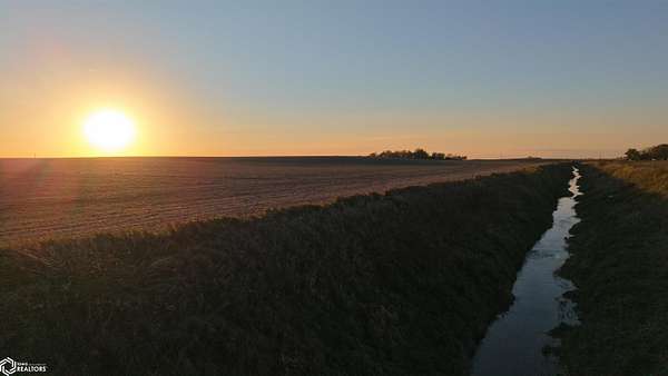
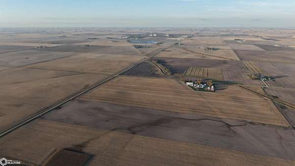
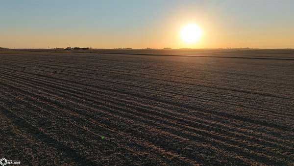
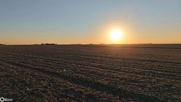
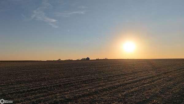
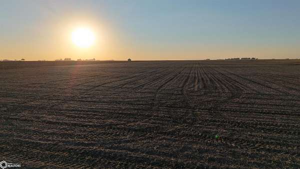
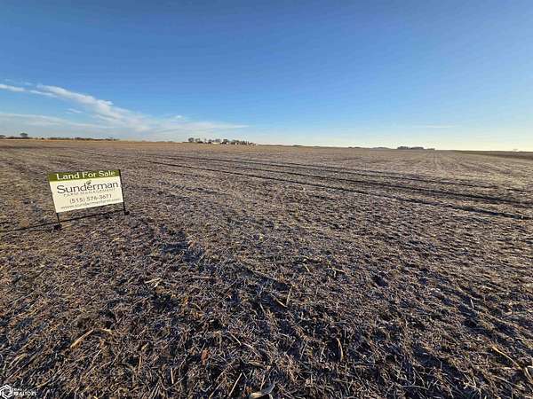
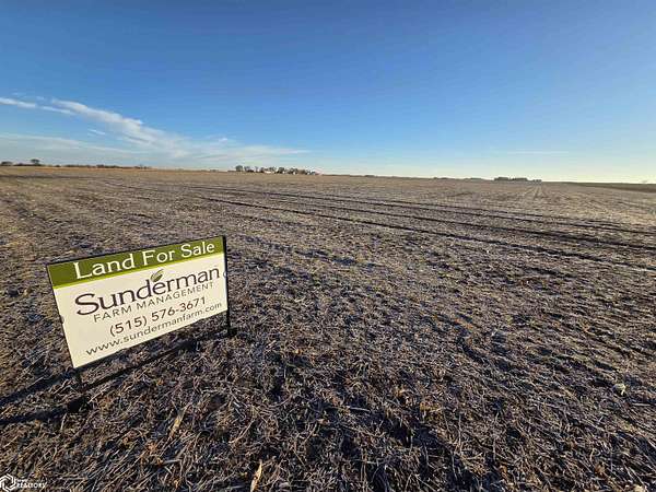
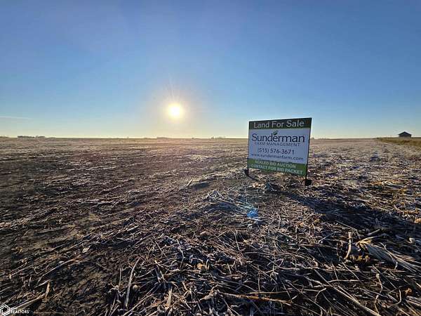
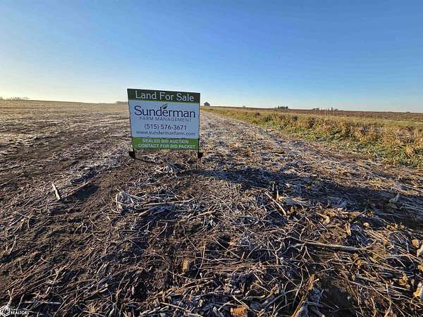
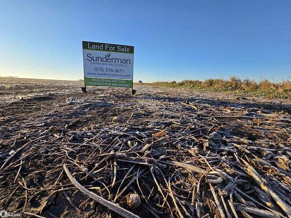
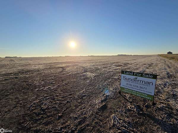
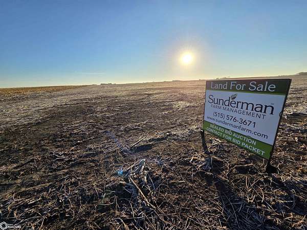
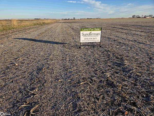
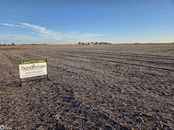
Sealed bid opportunity to purchase two tracts of prime Calhoun County, IA farmland just south of Manson and Hwy 7. These tracts boast strong CSRs of 87.0 and 85.6 comprised of coveted Webster, Clarion, & Nicollet soils. Please visit our website or contact agent to request a bid packet to submit your bids now. Parcel #1 - 61.70 Gross Acres: On hard surfaced road. Access to open ditch for drainage capabilities. 60.5 taxable ac., 56.3 FSA ac., $1978 annual taxes, 85.6 CSR 2. On the E side of Tabor Ave (N65) just south of Manson. The open ditch visible from the road is the N and E boundary of this farm. Parcel #2 - 36.50 Gross Acres: Nearly 100% tillable farm with no depressional soils. 36.52 taxable ac., 36.51 FSA ac., $1300 annual taxes, 87.0 CSR 2. 1 mile E and 2 miles S of Parcel #1, on E side of Udall Ave. Was soybeans in 2026 and the neighboring parcels to the N and S were corn. Legal Descriptions: Parcel #1: All of NW 1/4 of Section 20-89-31 West of the 5th P.M., Calhoun Cnty, lying W of the centerline of the Chicago, Rock Island, Pacific Railroad right-of-way and lying S of the centerline of the drainage ditch traversing this property in a SE direction. Parcel #2: The N 36.5 acres of the S 73 acres of the NW 1/4 of Section 33-89-31 West of the 5th P.M., Calhoun Cnty. Farm leases have been terminated and are open to farm for 2027 with prior operator willing to allow field work to be completed prior to 3/1/27, weather permitting.
Auction details
- Price
- $1,000 minimum
Location
- Street address
- 1935 County Road N65
- County
- Calhoun County
- Zip code
- 50563
- Elevation
- 1,237 feet
Directions
Parcel #1 can be found on the east side of Tabor Avenue (N65) just south of Manson. The open ditch visible from the road is the north and east boundary of this farm. Parcel #2 can be found one mile east and two miles south of Parcel #1. The farm is located on the east side of Udall Avenue.
Property details
- Acreage
- 98.2 acres
- Zoning
- Agriculture
- MLS #
- NCMLS 6344669
- Posted
Property taxes
- 2025
- $1,978
Parcels
- 893120100002
Legal description
#1: All of NW 1/4 of Section 20-89-31 West of the 5th P.M., Calhoun Cnty. #2: The N 36.5 acres of the S 73 acres of the NW 1/4 of Section 33-89-31 West of the 5th P.M., Calhoun Cnty.
Listing history
| Date | Event | Price | Change | Source |
|---|---|---|---|---|
| Nov 18, 2026 | New listing | $1,000 | — | NCMLS |