Skip to main content
Skip to navigation
Properties
Find agent
Post property
Log in
•
Sign up
Search here
List
Patoka, IL land for sale
Price
Size
Tags
Save
7 properties
For you
Newest
Price: high to low
Price: low to high
Size: large to small
Size: small to large
Updated
4 months ago
$89,000
6.72 acres
Marion County
Odin, IL 62870
4 months ago
$89,000
6.7 acres
Marion County
Odin, IL 62870
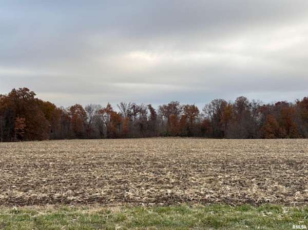
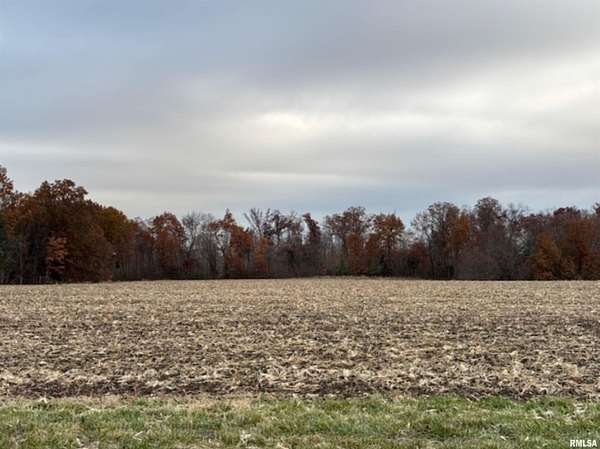
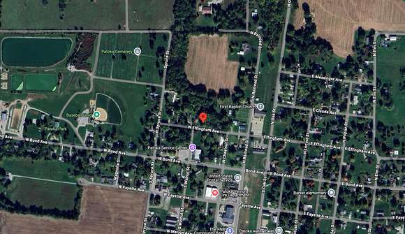
14 months ago
$3,875
0.5 acres
Marion County
Patoka, IL 62875
9 days
Auction
$100,000 min
20 acres
Clinton County
Sandoval, IL 62882
9 days
Auction
$200,000 min
34.5 acres
Clinton County
Sandoval, IL 62882
Pending
Under contract
$418,440 min
76 acres
Marion County
Sandoval, IL 62882
Pending
Under contract
$350,000 min
Marion County
Patoka, IL 62875
Map