Residential Land for Sale in Topock, Arizona
210-02-225 Polaris Rd, Topock, AZ 86436
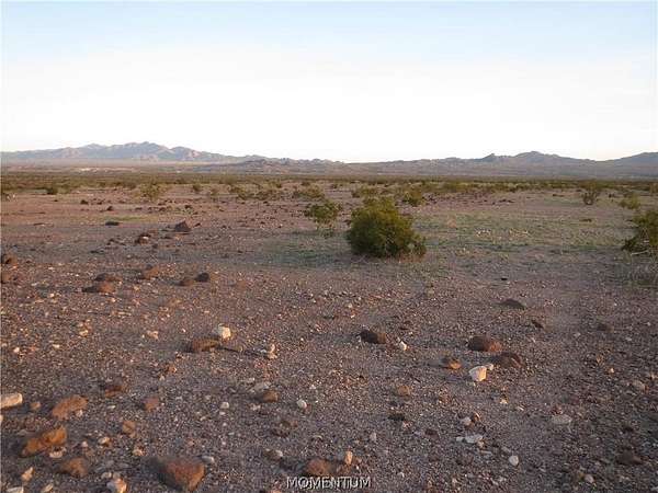
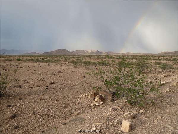
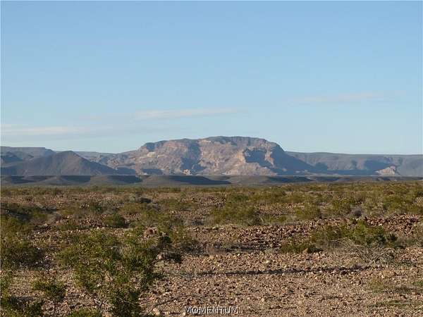
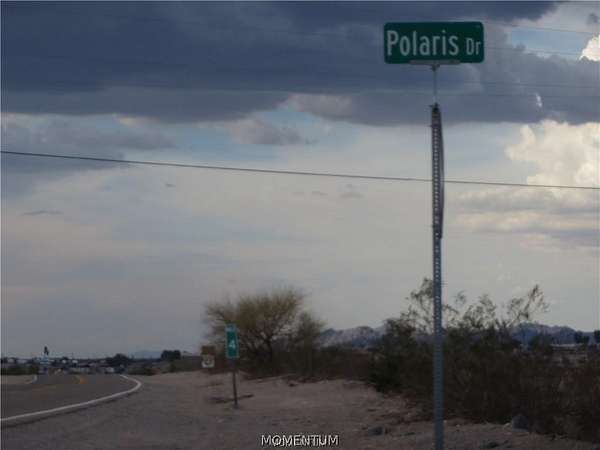
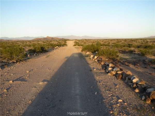
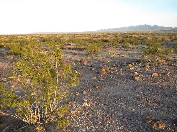
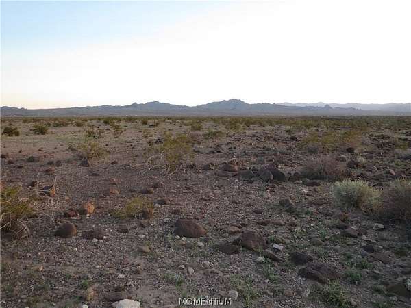
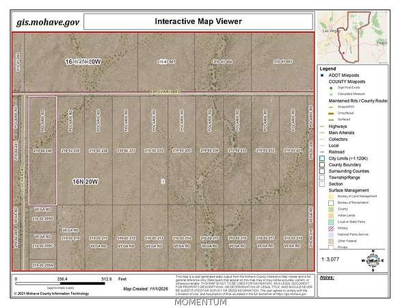
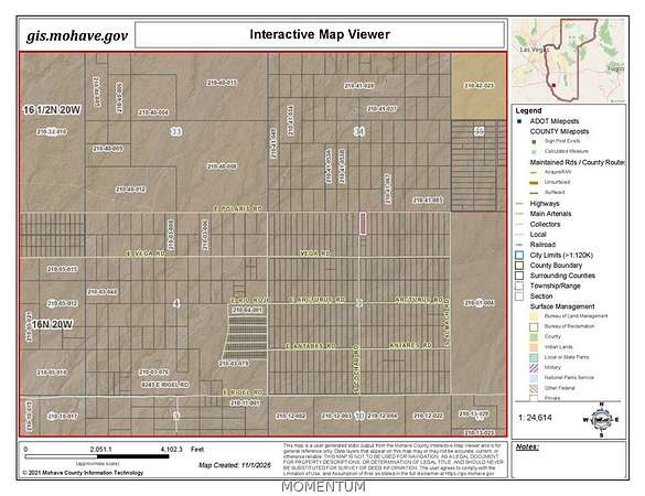
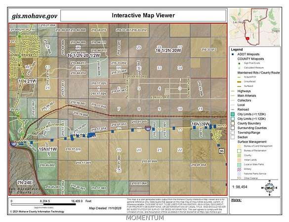
Sixteen adjacent parcels totaling 37.4 Acres with 1500 feet of combined frontage on Polaris Road offered in one listing. Polaris Road is currently being upgraded for the new Sterling Solar Power Project. These parcels are located 1 mile east of the Sterling Solar Project on Polaris Road and also near the Havasu National Wildlife Refuge and Warm Springs Wilderness Area. All 16 parcels have frontage access on Polaris Road. Each parcel is approximately 2.34 acres and correspond to Western Stars subdivision lots 225 through 240. Total listing size is 37.44 acres. The property is bordered on the east side by Alamach Road and on the west side by Cochab Rd. which are not currently marked. The 16 parcel APN numbers are as follows: 210-02-040, 039, 038, 037, 036, 035, 034, 033, 032, 031, 030, 029, 028, 027, 026 and 210-02-025. Combined Property Corner GPS Coordinates: NW Corner: Lat. 34.7638 & Long. 114.3428 GPS SW Corner: Lat. 34.7621 & Long. 114. 3428 GPS NE Corner: Lat 34. 7638 & Long 114.3342 GPS SE Corner: Lat. 34.7621 & Long. 114.3342 Seller is an Arizona Licensed Real Estate Sales Agent.
Location
- Street address
- 210-02-225 Polaris Rd
- County
- Mohave County
- Zip code
- 86436
- Elevation
- 991 feet
Directions
Take Topock Exit 1 from I-40 and continue on Historic Route 66. Turn right at MP 4 on Polaris Road. Travel approximately 8 miles to the property on the right. Recommend four wheel drive on Polaris Road.
Property details
- Acreage
- 2.34 acres
- Zoning
- M- AR Agricultural Res
- MLS #
- WARDEX 043499
- Posted
Property taxes
- 2026
- $158
Parcels
- 210-02-225
Legal description
WESTERN STARS LOT 225
Details and features
Listing
- Type
- Land
Lot
- View
- Mountains
- Features
- Street Level
Structure
- Sewer
- Septic Needed
Listing history
| Date | Event | Price | Change | Source |
|---|---|---|---|---|
| Nov 2, 2026 | New listing | $1,500,000 | — | WARDEX |