Skip to main content
Skip to navigation
Properties
Find agent
Post listing
Log in
•
Sign up
Search here
List
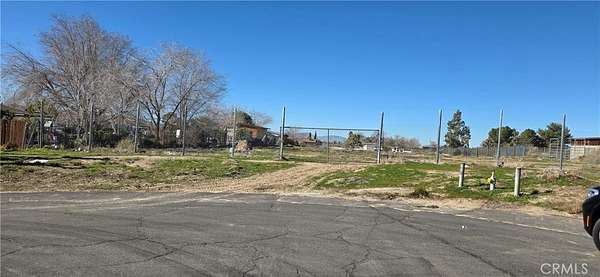
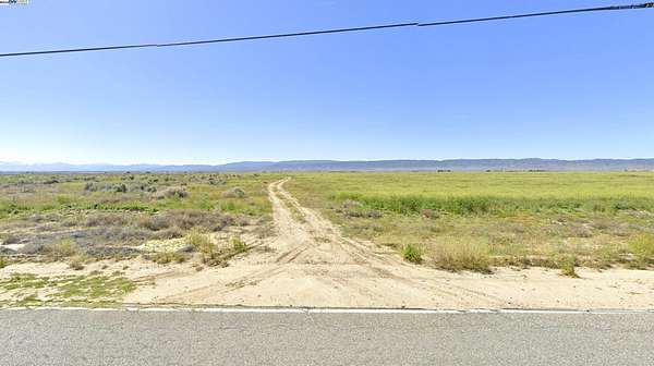
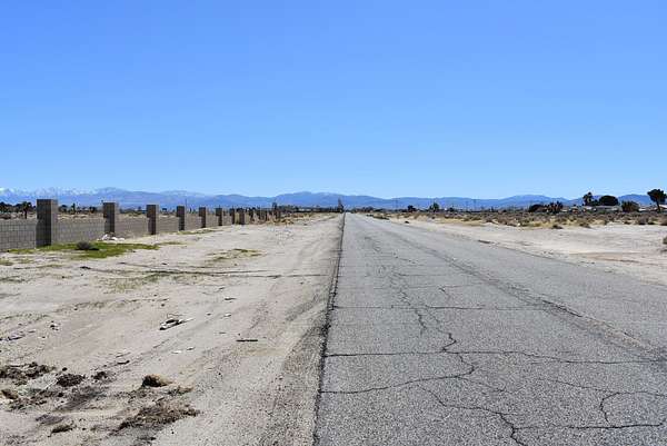
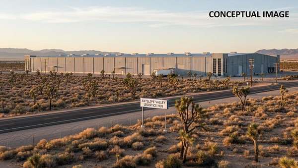
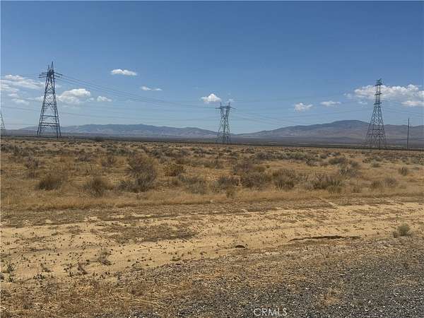
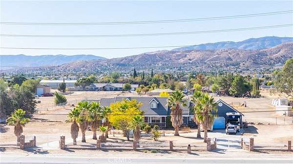
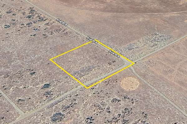
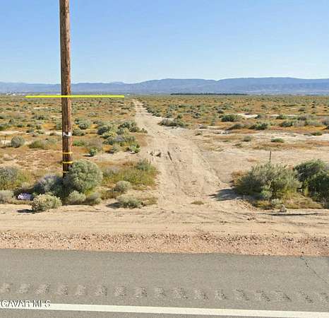
Lancaster, CA land for sale
Price
Size
Tags
Save
1,606 properties
Updated
For you
Newest
Price: high to low
Price: low to high
Size: large to small
Size: small to large
Updated
3 years ago
$270,000
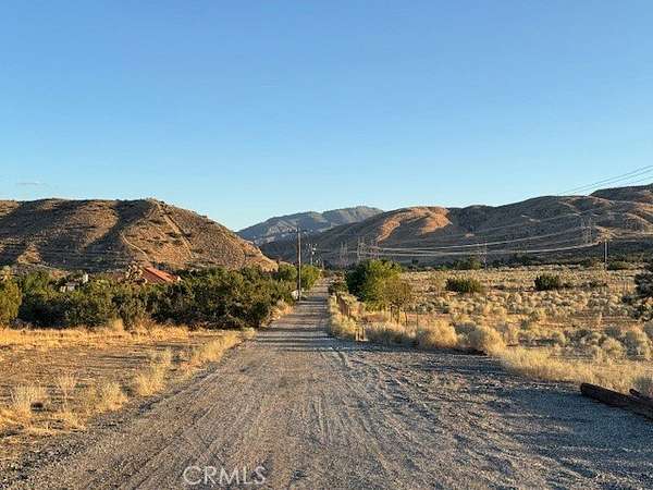
104 acres
Los Angeles County
Littlerock, CA 93543
21 days
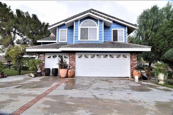
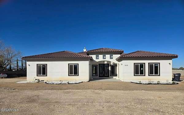
$1,200,000
2.14 acres
Los Angeles County
4 bd, 3 ba
•
3,106 sq ft
Palmdale, CA 93550
$30.9k drop • Nov 9
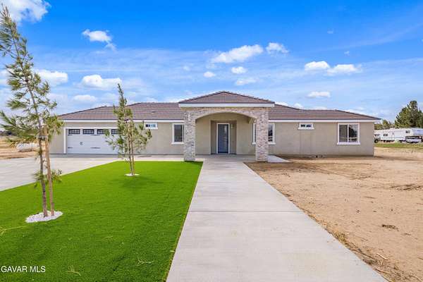
$698,000
2.5 acres
Los Angeles County
4 bd, 3 ba
•
2,170 sq ft
Lancaster, CA 93536
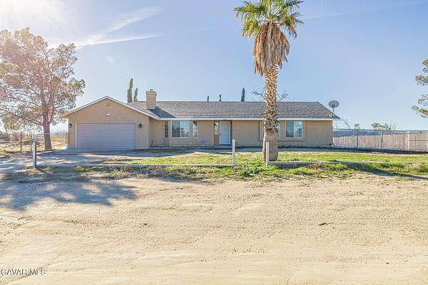
8 days
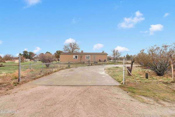
$390,000
2.37 acres
Los Angeles County
3 bd, 2 ba
•
1,344 sq ft
Littlerock, CA 93543
$50k drop • Dec 10
$1,199,000
2.4 acres
Los Angeles County
5 bd, 4 ba
•
3,666 sq ft
Lancaster, CA 93534
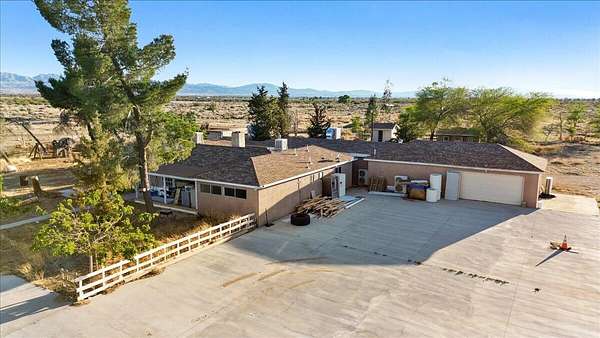
8 months ago
$649,900
41.2 acres
Los Angeles County
4 bd, 4 ba
•
4,224 sq ft
Palmdale, CA 93591
11 hours
$499,000
2.49 acres
Kern County
3 bd, 2 ba
•
1,469 sq ft
Rosamond, CA 93560
2 months ago
$35,000
0.19 acres
Los Angeles County
Elizabeth Lake, CA 93532
2 months ago
$35,000
0.18 acres
Los Angeles County
Elizabeth Lake, CA 93532
15 hours
$29,900
Los Angeles County
Littlerock, CA 93543
16 hours
$120,000
9.7 acres
Los Angeles County
Del Sur, CA 93536
16 hours
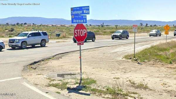
$35,000
1.25 acres
Los Angeles County
Lancaster, CA 93535
15 hours
$10,000
Los Angeles County
Lancaster, CA 93535
$5.1k drop • Oct 27
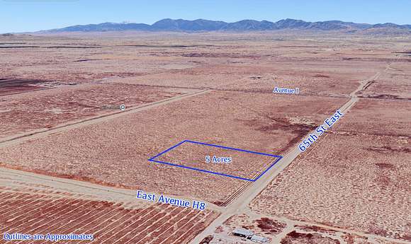
$29,900
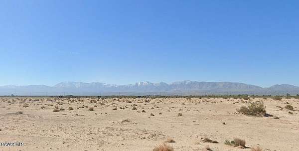
5 acres
Los Angeles County
Lancaster, CA 93535
42 days ago
$789,995
2.42 acres
Los Angeles County
4 bd, 3 ba
•
2,397 sq ft
Palmdale, CA 93550
19 hours
$124,999
10.1 acres
Los Angeles County
Lancaster, CA 93536
22 months ago
$34,999
2.53 acres
Los Angeles County
Lancaster, CA 93536
20 hours
$49,999
Los Angeles County
Lancaster, CA 93534
7 months ago
$105,000
9.63 acres
Los Angeles County
Palmdale, CA 93591
$8k drop • Jan 11
$50,000
2.57 acres
Los Angeles County
Lancaster, CA 93535
3 months ago
$19,950
2.58 acres
Los Angeles County
Lancaster, CA 93535
20 days
$600,000
10.1 acres
Los Angeles County
Lancaster, CA 93535
$20k drop • Jan 16
$757,000
22.2 acres
Los Angeles County
8 bd, 6 ba
•
668 sq ft
Green Valley, CA 91390
20 days
$600,000
11.4 acres
Los Angeles County
Lancaster, CA 93534
21 hours
$349,990
2.52 acres
Los Angeles County
3 bd, 1 ba
•
1,049 sq ft
Lancaster, CA 93535
6 months ago
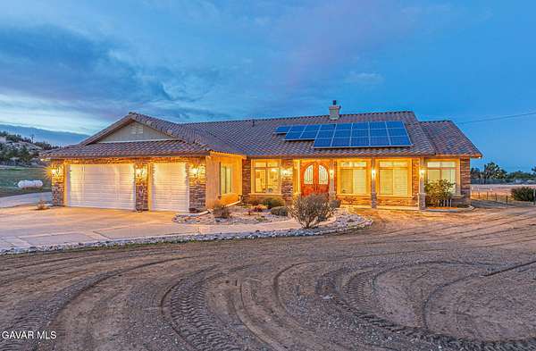
$450,000
Kern County
Rosamond, CA 93560
7 months ago
$60,000
2.52 acres
Los Angeles County
Lancaster, CA 93536
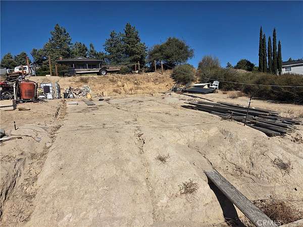
7 months ago
$14,500
0.95 acres
Los Angeles County
Sun Village, CA 93543
14 months ago
$275,000
19.9 acres
Los Angeles County
Lancaster, CA 93535
14 months ago
$65,000
5 acres
Los Angeles County
Lancaster, CA 93535
11 days
$340,000
2.39 acres
Los Angeles County
Lancaster, CA 93535
2 days
$120,000
Los Angeles County
Palmdale, CA 93550
$11k drop • Jan 16
$49,000
1.33 acres
Los Angeles County
Lancaster, CA 93536
1 day
$45,000
Los Angeles County
Lancaster, CA 93535
$5k drop • Jan 16
$34,999
2.53 acres
Los Angeles County
Lancaster, CA 93536
1 day
$29,999
2.56 acres
Los Angeles County
Lancaster, CA 93535
12 months ago
$30,000
1.23 acres
Los Angeles County
Lancaster, CA 93536
1 day
$150,000
0.94 acres
Los Angeles County
Lake Los Angeles, CA 93535
18 months ago
$30,000
1.22 acres
Los Angeles County
Lancaster, CA 93536
$15k drop • Jan 15
$60,000
7.76 acres
Los Angeles County
Lancaster, CA 93535
12 months ago
$115,000
9.57 acres
Los Angeles County
Lancaster, CA 93536
$19.9k drop • Jan 15
$180,000
2.62 acres
Los Angeles County
Palmdale, CA 93551
Featured
$11k drop • Jan 15
$19,995
7.5 acres
Kern County
Rosamond, CA 93560
Pending
Under contract
$10,500
0.19 acres
Los Angeles County
Lancaster, CA 93535
1 day
$195,000
2 acres
Los Angeles County
Palmdale, CA 93551
Pending
Under contract
$14,000
2.6 acres
Kern County
Rosamond, CA 93560
$50k drop • Jan 15
$1,100,000
2.61 acres
Los Angeles County
4 bd, 4 ba
•
3,020 sq ft
Palmdale, CA 93551
Featured
$4k drop • Jan 15
$7,995
1.36 acres
Los Angeles County
Lancaster, CA 93536
Pending
Under contract
$9,900
2.5 acres
Los Angeles County
Lancaster, CA 93536
2 days
$225,000
2.3 acres
Los Angeles County
Palmdale, CA 93552
1
2
3
4
…
33
1-50 of 1,606 properties
Map