Skip to main content
Skip to navigation
Properties
Find agent
Post property
Log in
•
Sign up
Search here
List
Blackhoof Township, MN land for sale
Price
Size
Tags
Save
7 properties
For you
Newest
Price: high to low
Price: low to high
Size: large to small
Size: small to large
Updated
37 days ago
$80,000
10 acres
Pine County
Kerrick, MN 55756
10 months ago
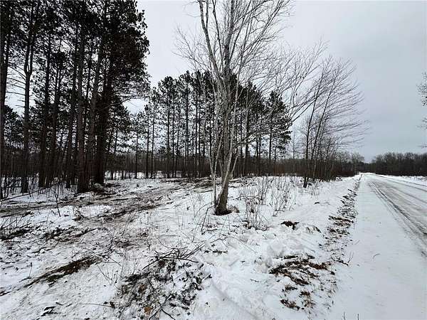
$124,000
40 acres
Carlton County
Mahtowa Township, MN 55707
2 months ago
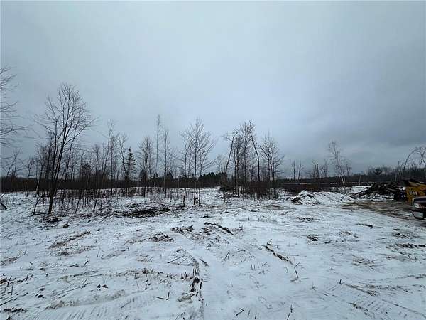
$80,000
21.7 acres
Pine County
Kerrick, MN 55756
$34k drop • Jan 14
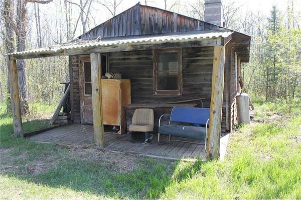
$525,000
40 acres
Carlton County
1 bd, 1 ba
•
1,600 sq ft
Barnum Township, MN 55707
15 months ago
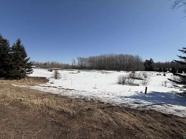
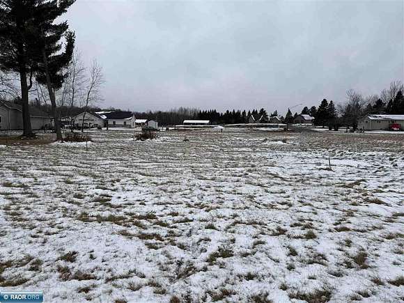
$79,900
10 acres
Carlton County
Blackhoof, MN 55718
Pending
Under contract
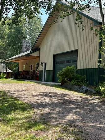
$449,900
9 acres
Carlton County
4 bd, 2 ba
•
2,352 sq ft
Carlton, MN 55718
15 months ago
$40,000
0.6 acres
Carlton County
Wrenshall, MN 55797
Map