Images
Map
Land for Sale in Lancaster, California
24500 E 247th Ste Vic Avenue A10 S, Lancaster, CA 93535
$32,000
21.1 acres
Active sale
ago
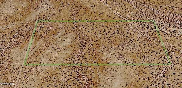
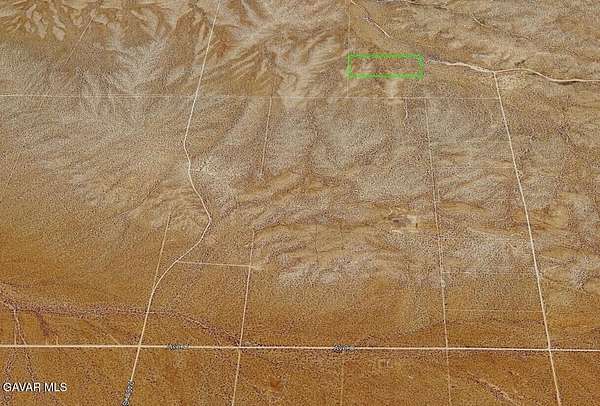
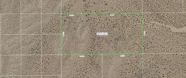
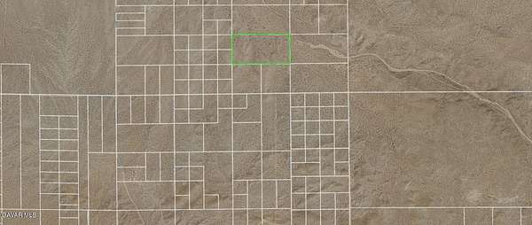
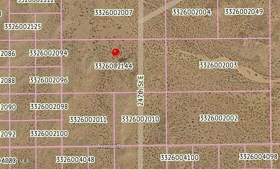
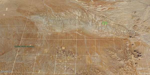
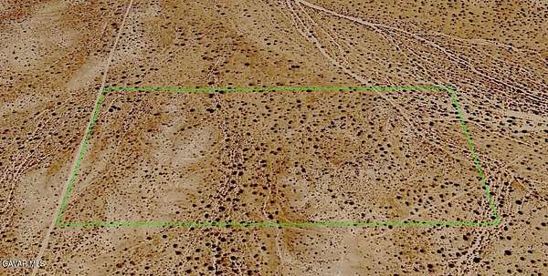
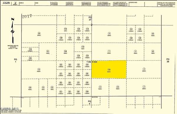
Est $244/mo21.11 acres of A22 agricultural land. This is a remote area which is used for camping, riding bikes, horses, stargazing, and a possible home. The lot has 684 feet of frontage on 245th St East, about 660 feet north of Ave B. APN 3326-002-144.
Location
- Street address
- 24500 E 247th Ste Vic Avenue A10 S
- County
- Los Angeles County
- Zip code
- 93535
- Community
- Lanc 90th E to SB
- Elevation
- 2,802 feet
Directions
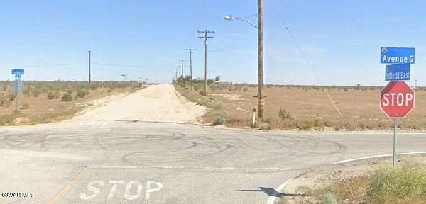
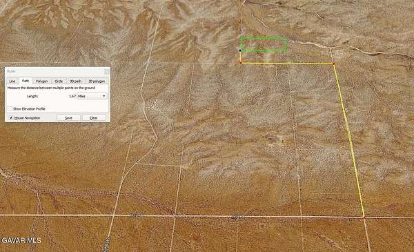
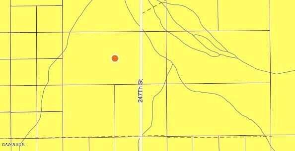
14 FWY/ Ave J-east/ 200th St E-north to Ave C / go east 5 miles to 250th St, then north a mile to Ave B, then west a half mile to 245th, then north about 660 feet to the southwest corner of the lot at GPS Lat 34.80951 Lon -117.69413
Property details
- Acreage
- 21.11 acres
- Zoning
- LCA22
- MLS #
- GAVAR 26007996
- Posted
Parcels
- 3326-002-144
Details and features
Listing
- Type
- Land
- Franchise
- Century 21 Real Estate
Structure
- Sewer
- None
Listing history
| Date | Event | Price | Change | Source |
|---|---|---|---|---|
| Oct 20, 2026 | New listing | $32,000 | — | GAVAR |
Payment calculator

Contact listing agent
By submitting, I agree to the terms of use and to be contacted by . Message and data rates may apply.