Land for Sale in Bellvue, Colorado
2721 Davis Ranch Rd, Bellvue, CO 80512
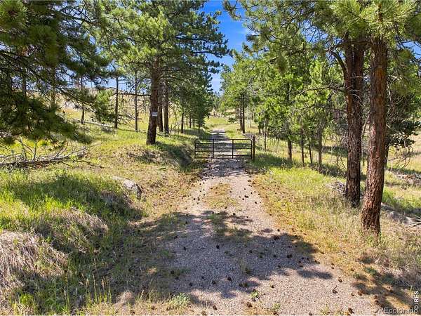
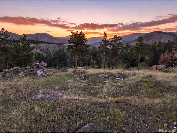
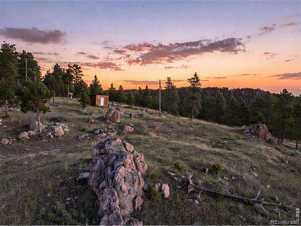
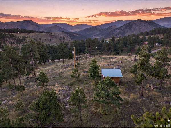
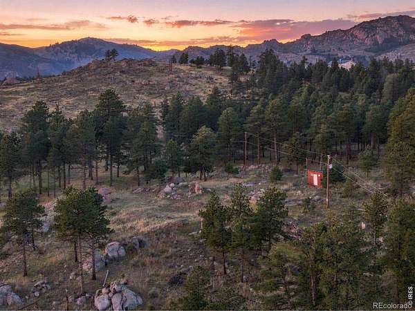
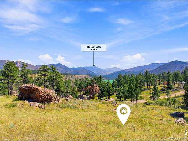
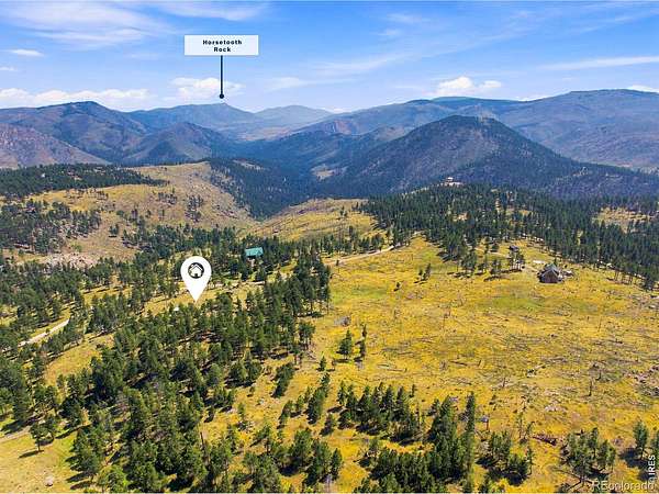
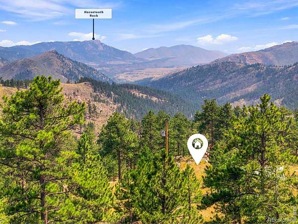
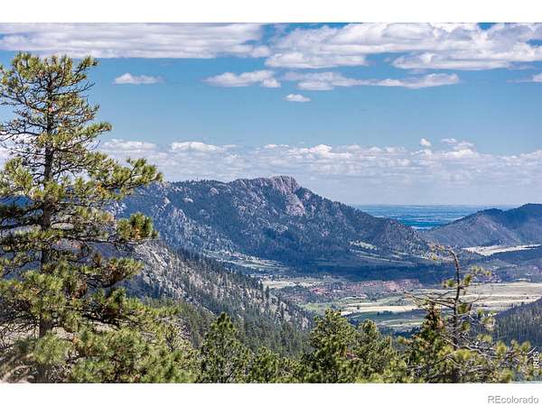
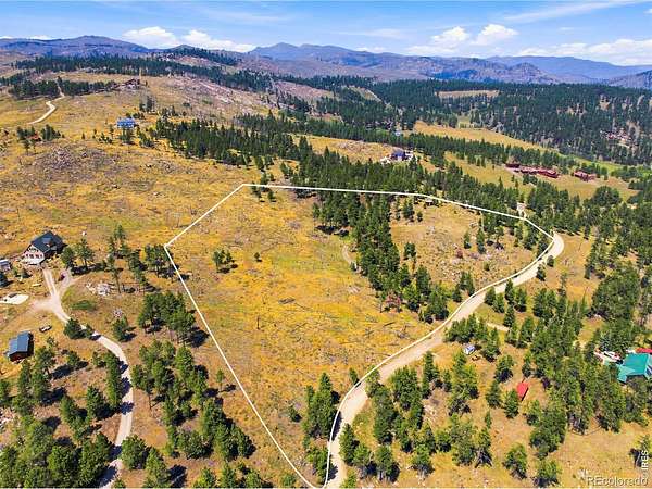
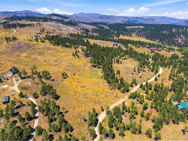
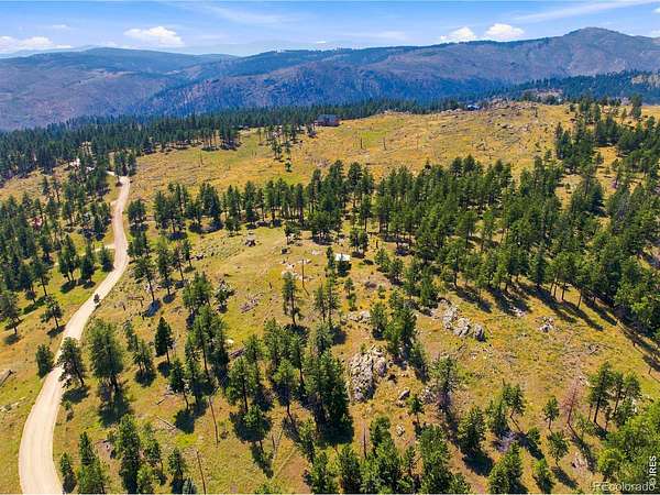
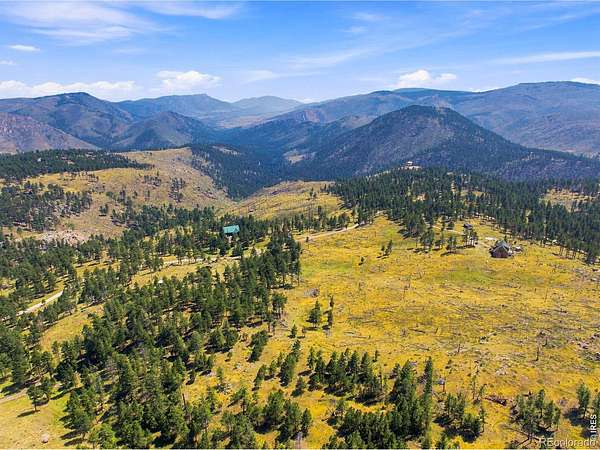
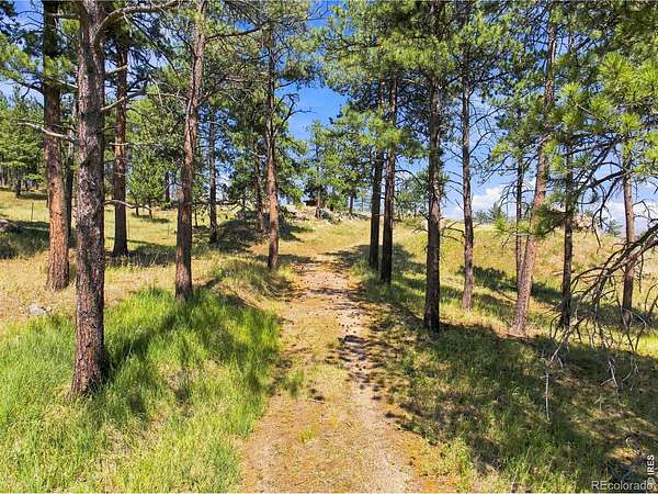
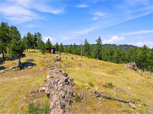
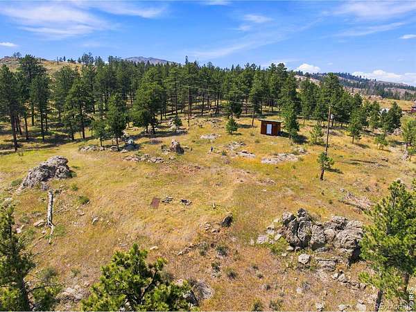
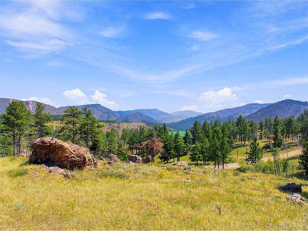
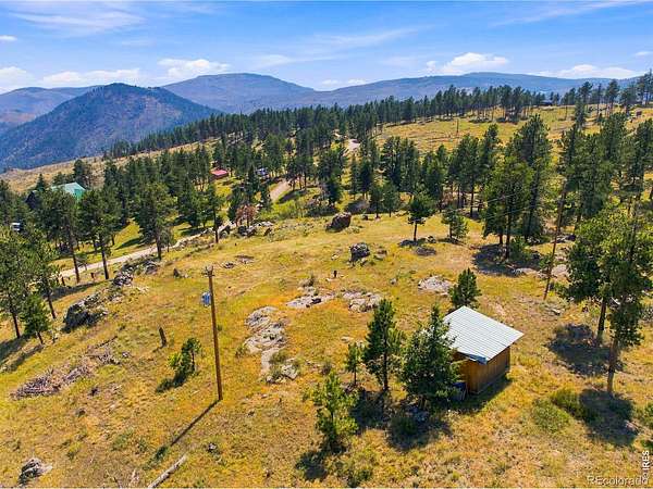
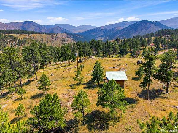
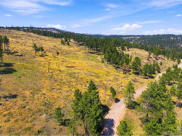
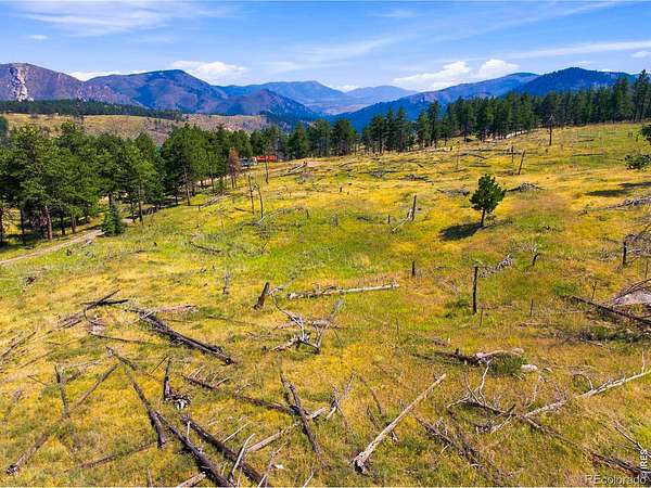
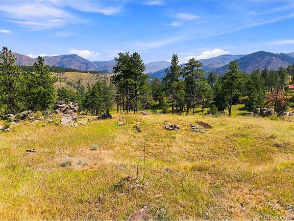
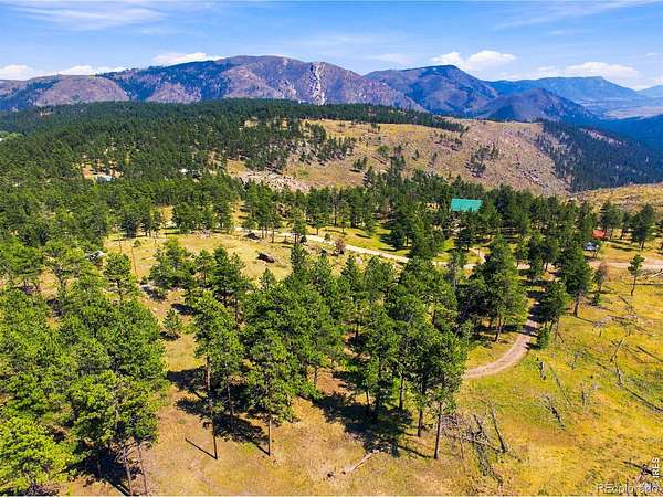
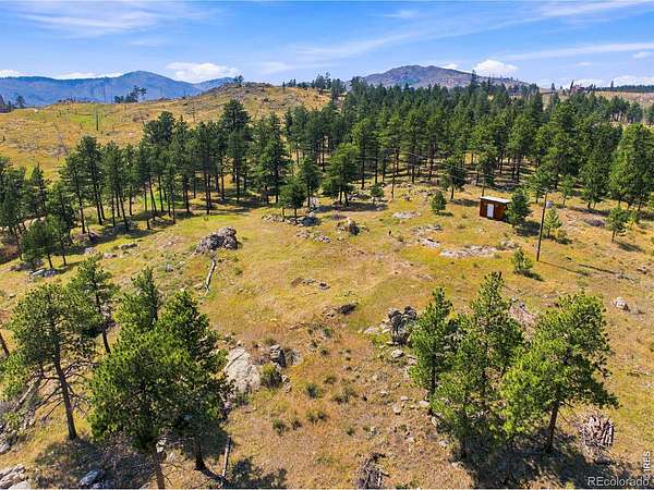
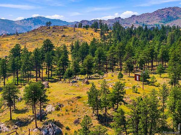
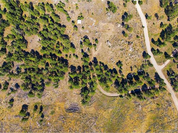
Perched above 7,000 feet, this is the one you've been waiting for. Sweeping southeast views over Horsetooth Rock and the Redstone valley, on 8.79 acres of Front Range high country that are yours to build on. This isn't raw ground. Infrastructure already on site runs north of $125,000. The hard part is done - a permitted well that produces, an existing septic system, established year-round access, and 3 proven building sites, cleared and waiting: one for the house, one for a detached garage and shop, and a separate area on the property for your barn. The infrastructure most mountain lots need is already on site - including a long gated drive, graded and based, ready for the first concrete truck. No HOA - just $550/year for road maintenance. Southern exposure makes solar a natural fit. That's the practical side. The rest is why you'd want to be here at all. What you notice first is what's missing. No traffic. No sirens. No neighbor's music. Just wind in the pines, cool nights, and slopes that soak up sun year-round. What you notice second is the sky. At this elevation, the Milky Way is a nightly event rather than a vacation memory. Every day up here is the same in the best possible way: crisp mountain air, unhurried living, acres to roam - all of it yours. Old Town Fort Collins is still just 35 minutes down the hill. Some people want a house. Some want the space around it. We've got the second. You bring the first.
- Listed by Ryan Watson, (970) 214-1516, West and Main Homes
Location
- Street address
- 2721 Davis Ranch Rd
- County
- Larimer County
- Zip code
- 80512
- Community
- Redstone
- School district
- Poudre R-1
- Elevation
- 7,199 feet
Property details
- Acreage
- 8.79 acres
- Zoning
- O
- Access
- Private road
- MLS #
- REcolorado IR1066270
- Posted
Property taxes
- 2025
- $773
Parcels
- R0251402
Legal description
"TR IN SW 31-8-70 AND NW 6-7-70 WH BEG AT PT WH BEARS N 00 17' 00"""" W 285.54 FT; TH N 35 15' 00"""" W 195.81 FT; TH N 51 08' 00"""" W 110.2 FT; TH N 05 52' 00"""" W 82.47 FT; TH N 30 28' 00"""" E 82.56 FT; TH N 89 38' 25"""" E 163.49 FT; TH S 89 51' 30"""" E 755.73 FT FROM S"
Details and features
Listing
- Type
- Land
- Subtype
- Improved Land
- Possible Use
- Agricultural, Residential
- Ownership
- Individual
- Terms
- Cash, Conventional
- Possession
- Closing/DOD
Lot
- Vegetation
- Grassed, Wooded
- Road Frontage
- Private Road
- Road Surface
- Dirt, Gravel
- Road Responsibility
- Private Maintained Road
- View
- City, Mountain(s), Plains
- Well Permits
- 78649
- Features
- Mountainous, Rock Outcropping, Rolling Slope
Exterior
- Fencing
- Partial
- Horses Allowed
- Yes
Structure
- Water
- Well
- Sewer
- Septic Tank
Property utilities
| Category | Type | Status |
|---|---|---|
| Power | Grid | Available |
| Sewage | Septic System | Available |
| Water | Private Well | Available |
Nearby schools
| Name | Type | District |
|---|---|---|
| Stove Prairie | Elementary | Poudre R-1 |
| Cache la Poudre | Middle | — |
| Poudre | High | Poudre R-1 |
Listing history
| Date | Event | Price | Change | Source |
|---|---|---|---|---|
| Aug 28, 2026 | Price drop | $375,000 | $25,000 -6.3% | REcolorado |
| Aug 12, 2026 | New listing | $400,000 | — | REcolorado |
Payment calculator

Based on information submitted to the MLS GRID as of Sept 27, 2026 1:00 am MT. All data is obtained from various sources and may not have been verified by broker or MLS GRID. Supplied Open House Information is subject to change without notice. All information should be independently reviewed and verified for accuracy. Properties may or may not be listed by the office/agent presenting the information. Some IDX listings have been excluded from this website. View more