



Land for Auction in Seymour, Iowa
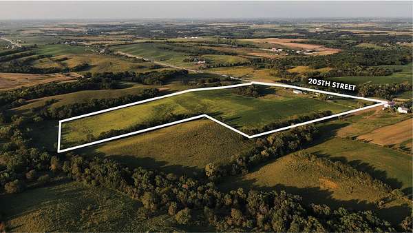
2939 205th St, Seymour, IA 52590
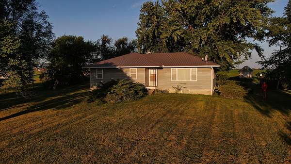
Peoples Company is honored to represent the Helen M. Snider Estate and the Milo E. Snider Trust in the auction of their family farm located southwest of Seymour, Iowa. The family’s connection to this land began when Helen’s late parents, Cor and Myrle Swan, started assembling the farmland in 1920. After marrying in 1944, Milo and Helen Snider made their home on the farm, where they raised their three children—Art, Craig, and Anita—and built a life deeply rooted in agriculture and the surrounding community. Milo was a lifelong farmer who also served area producers for many years as a seed dealer for Cargill Seed Company. For many years, Milo and Helen also worked together selling crop insurance for Farmers Mutual Hail Insurance Company. Helen was well known throughout the area for her upholstery business, through which she served many local families and formed lasting relationships within the community. The offering of this farm represents more than the sale of agricultural land—it marks the transition of a property that has been an important part of the Snider family’s life and legacy for generations.
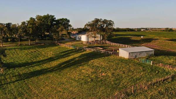
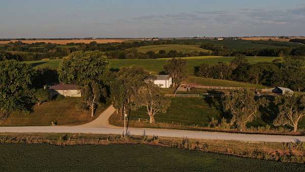
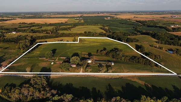
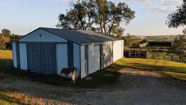
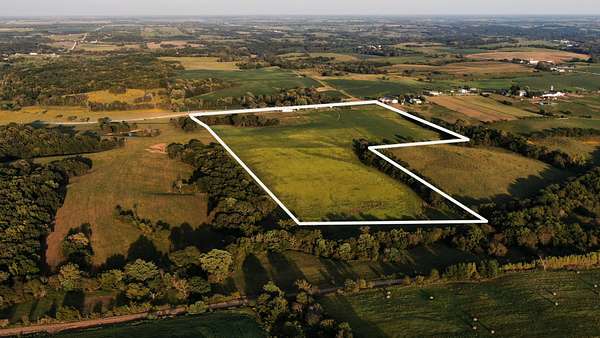
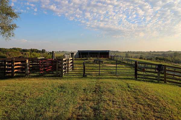
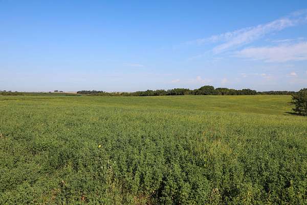
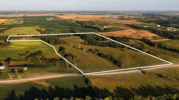
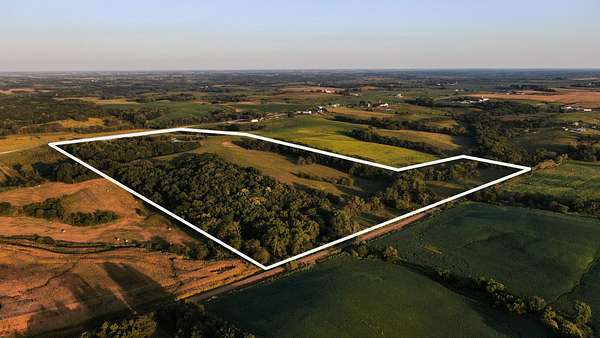
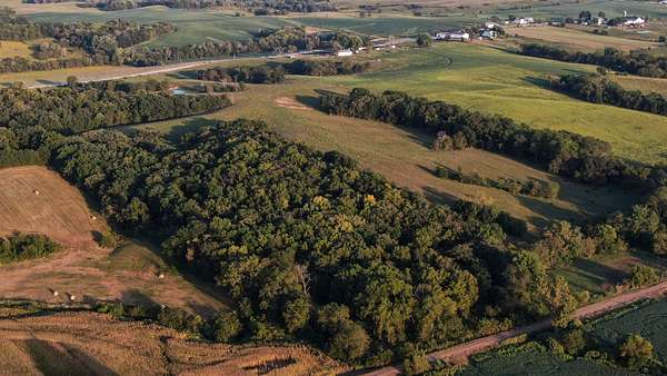
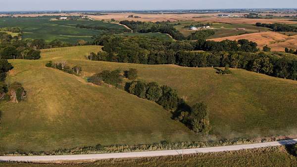
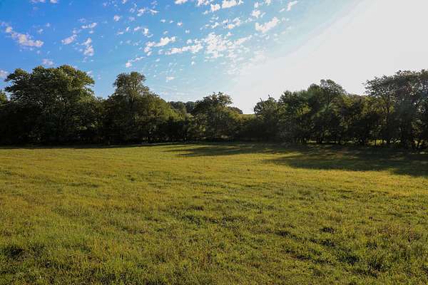
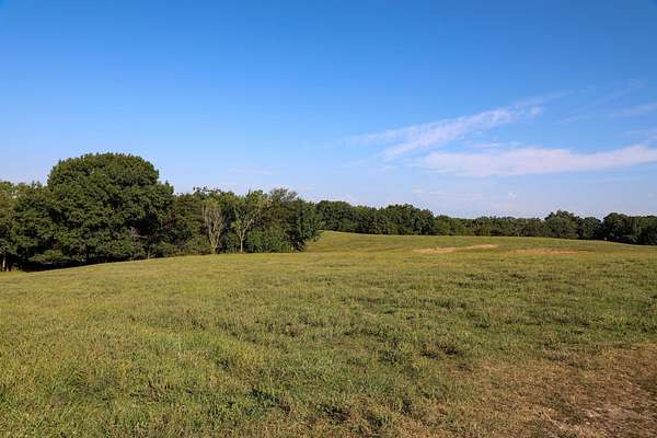
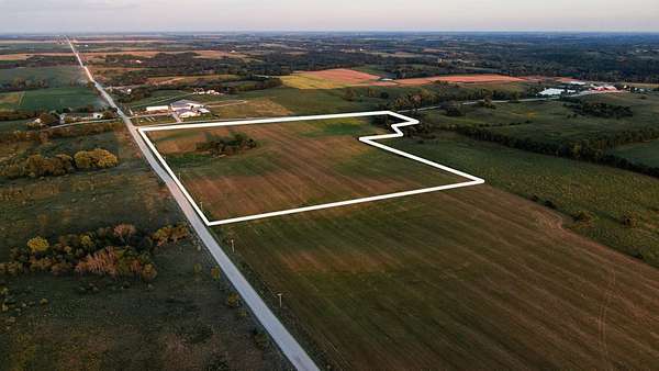
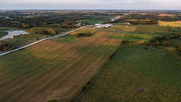
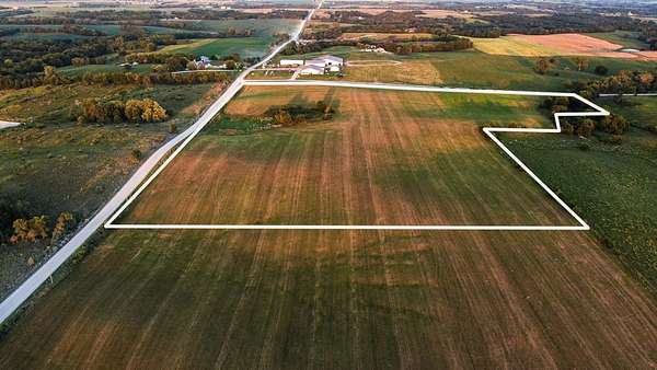
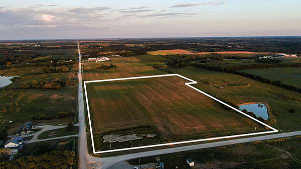
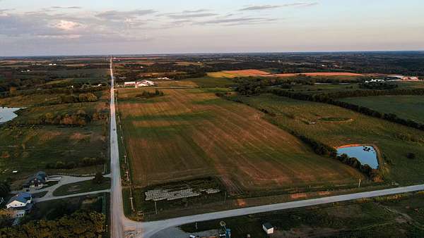
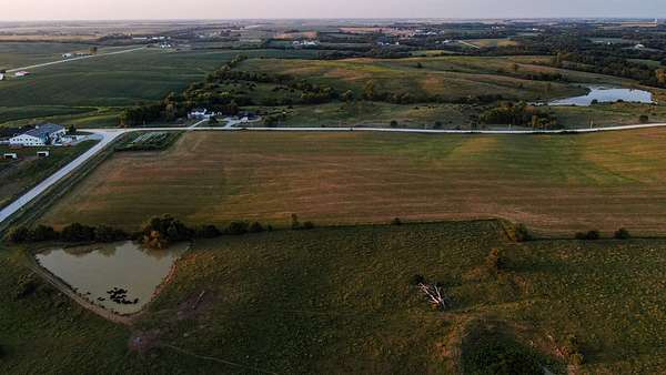
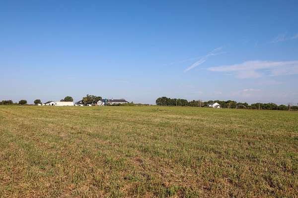
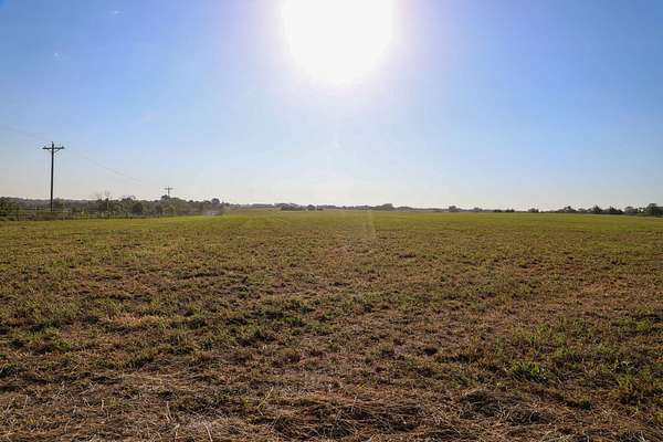
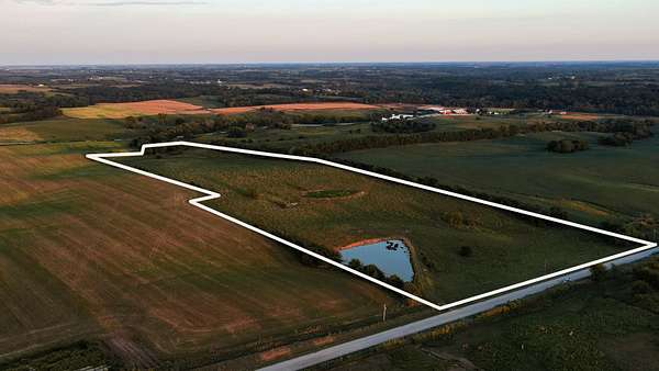
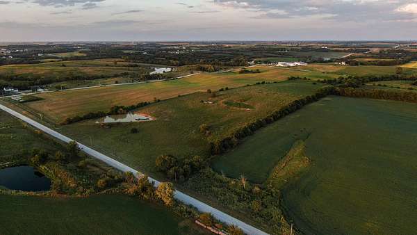
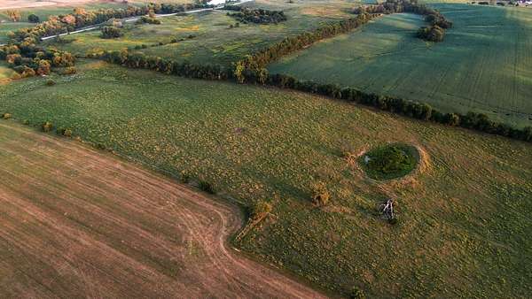
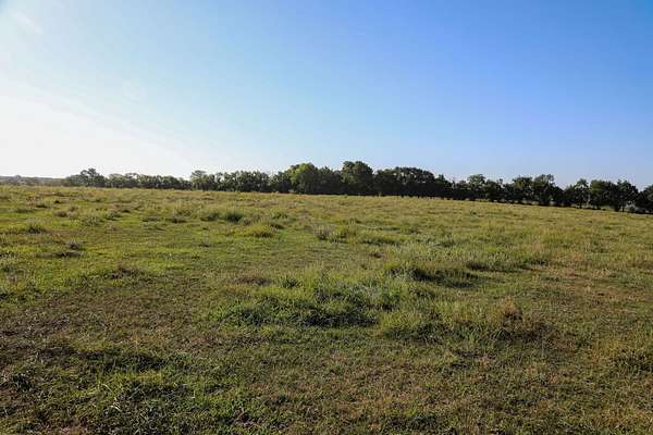
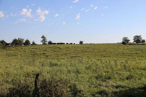
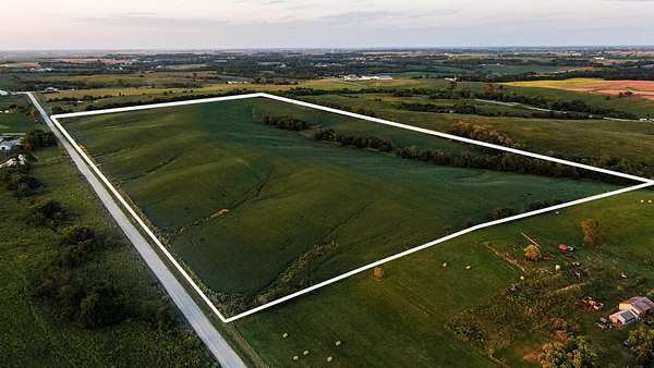
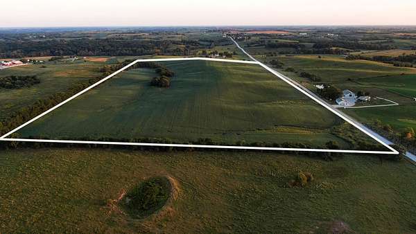
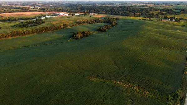
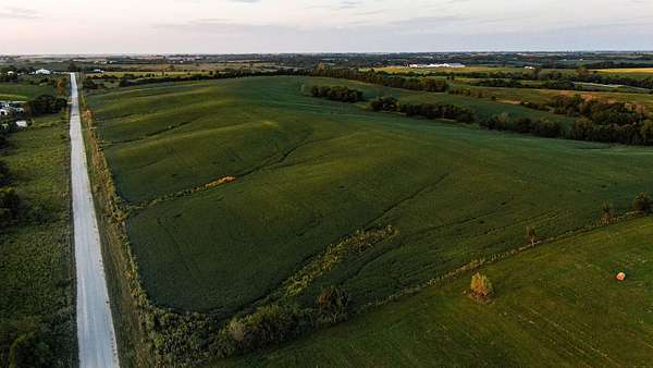
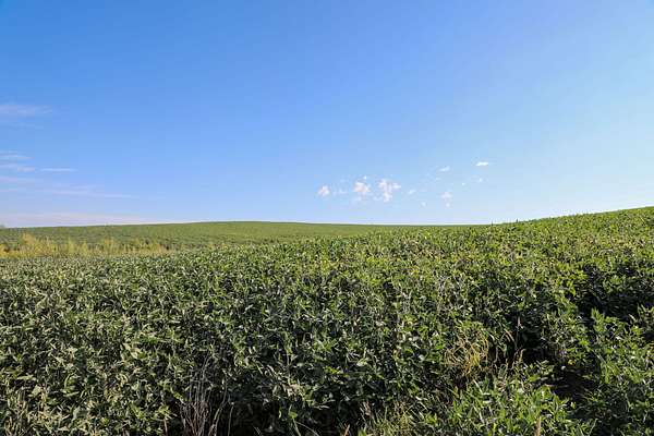
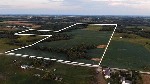
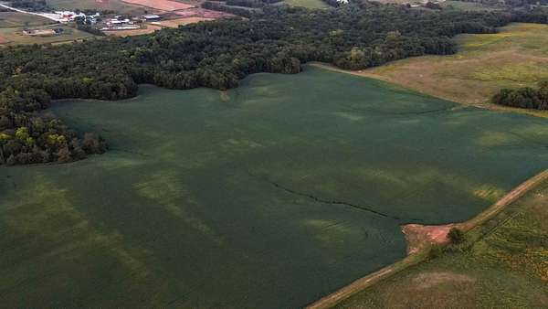
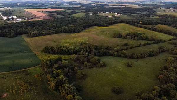
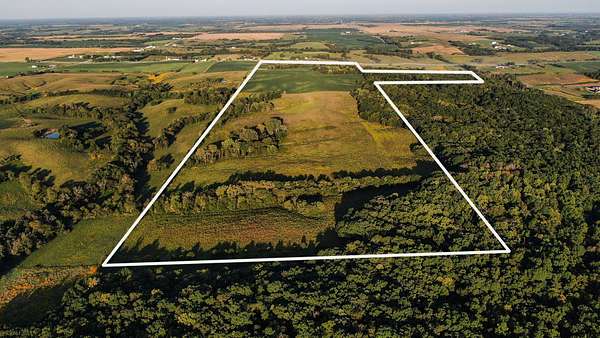
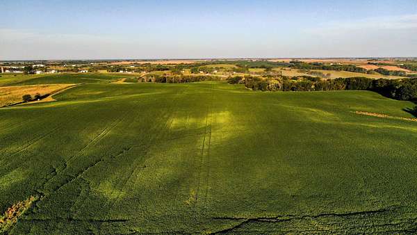
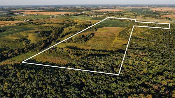
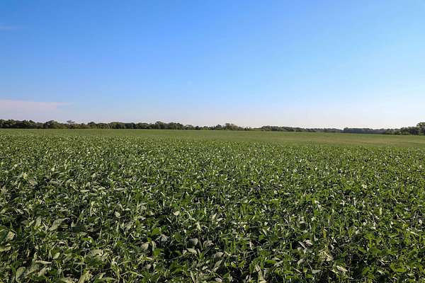
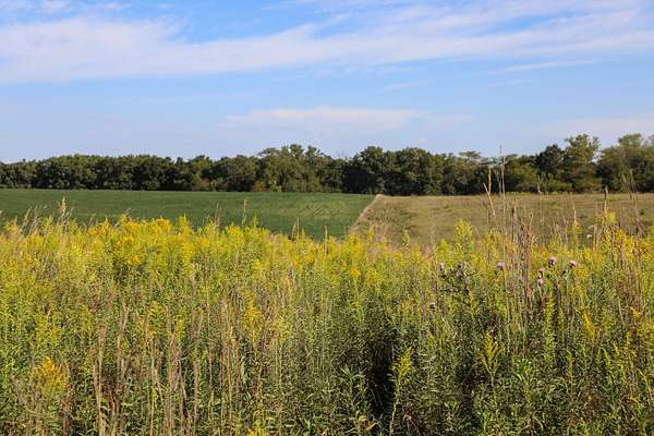
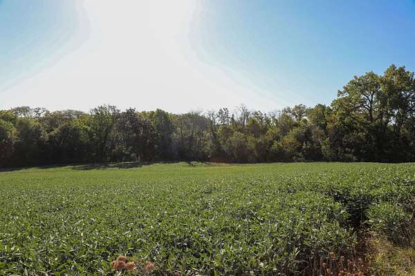
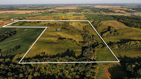
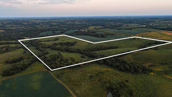
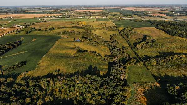
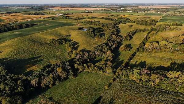
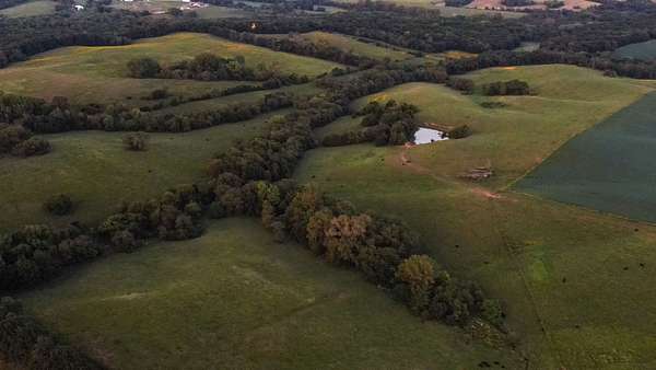
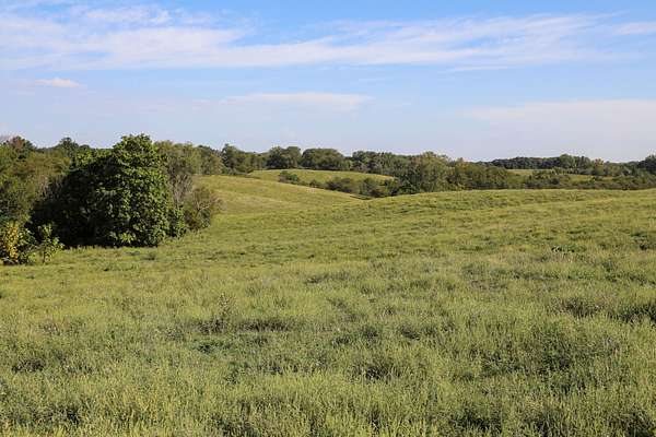
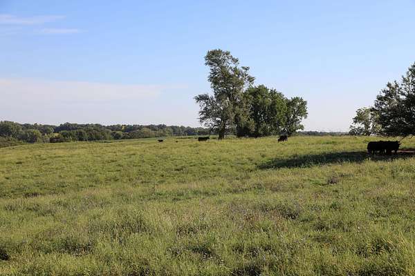
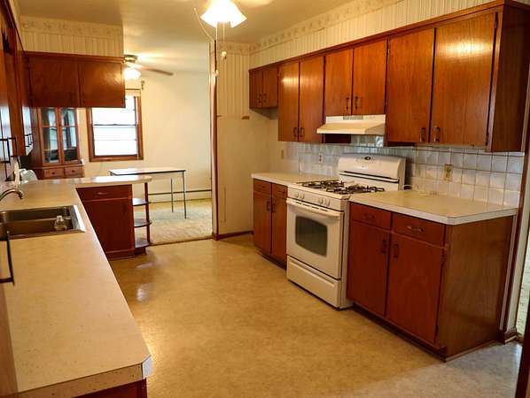
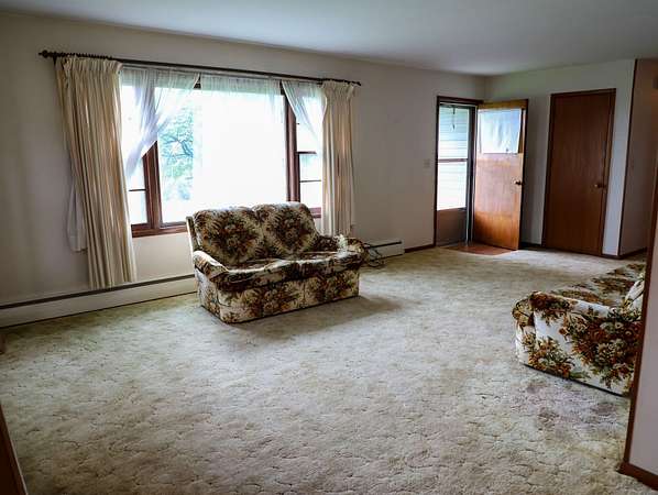
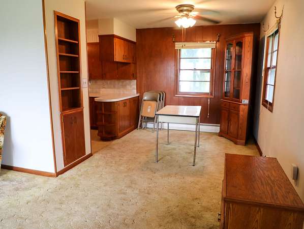
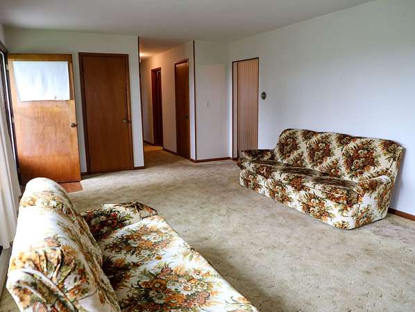
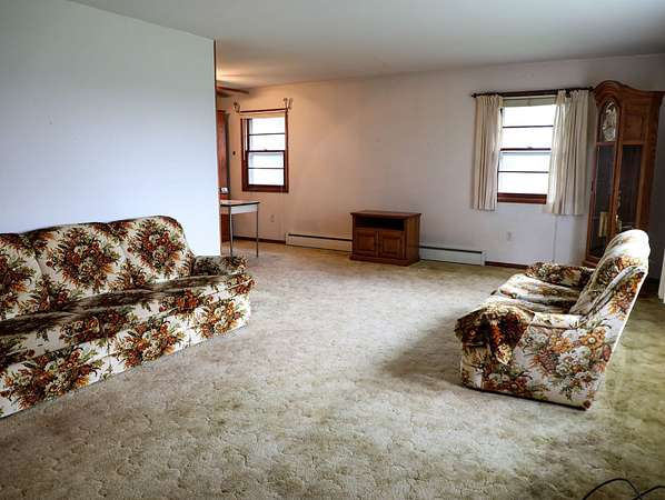
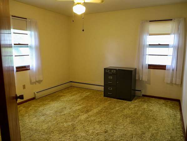
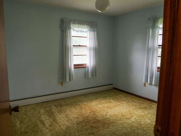
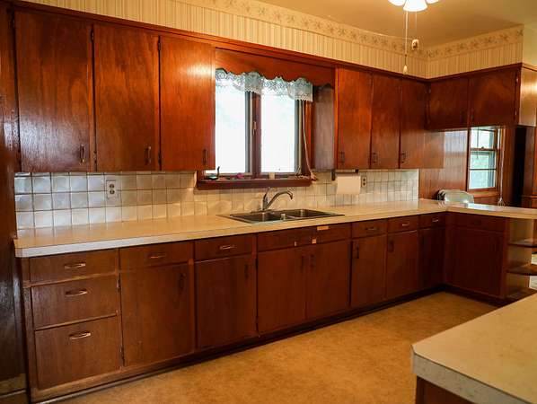
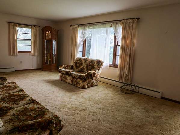
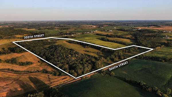
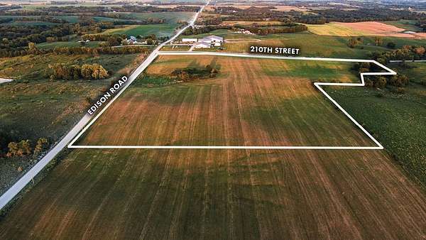
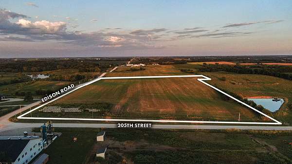
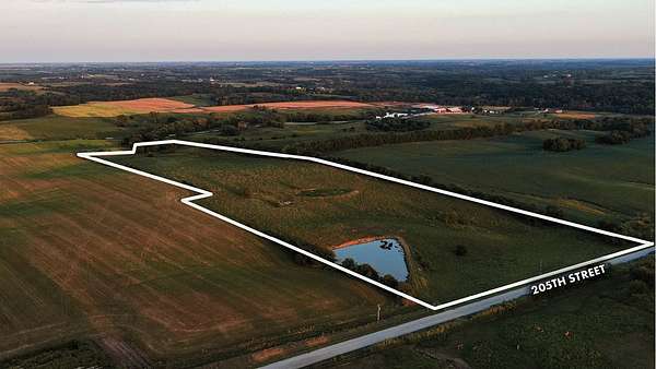
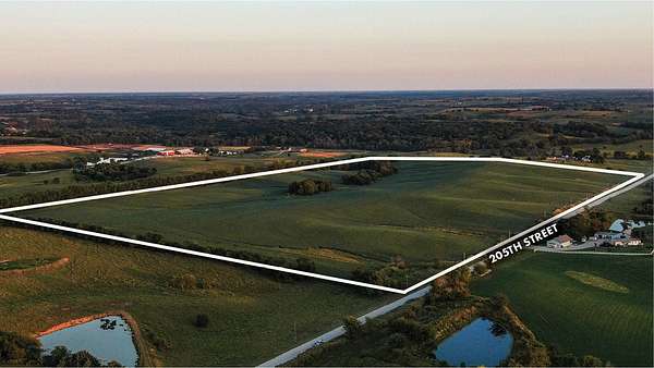
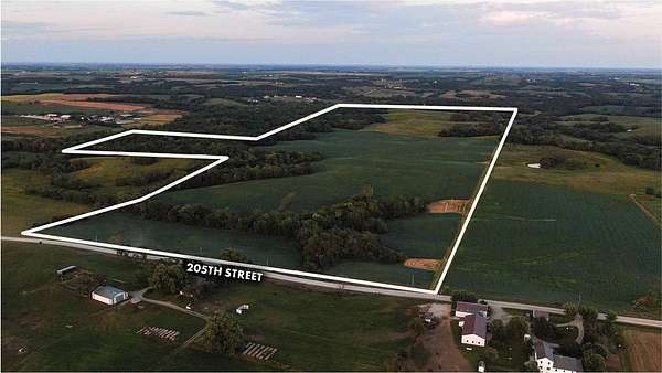
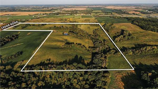
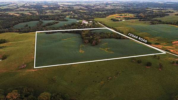
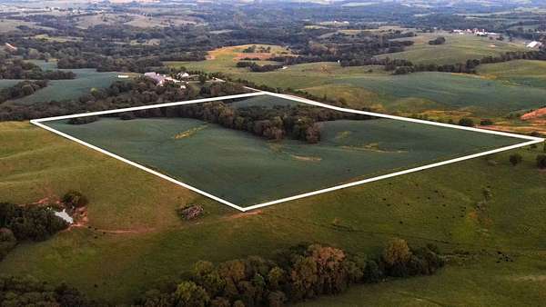
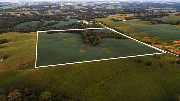
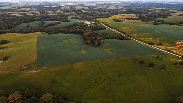
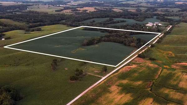
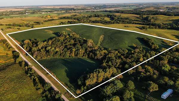
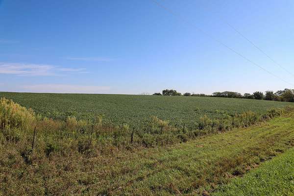
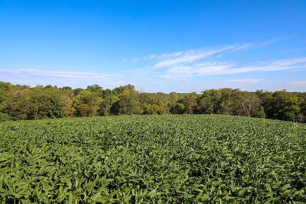
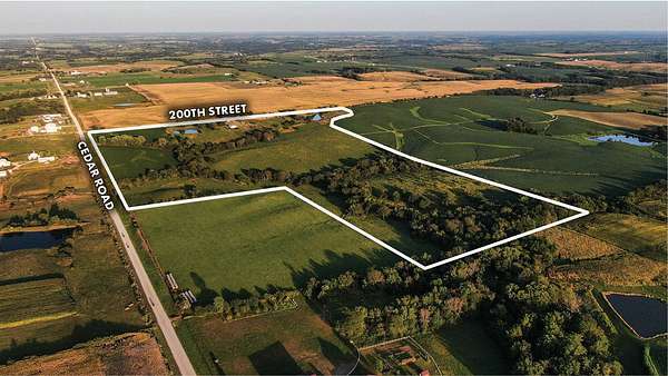
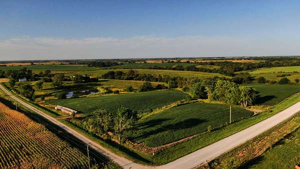
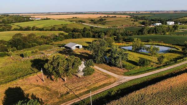
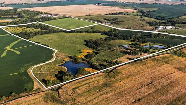
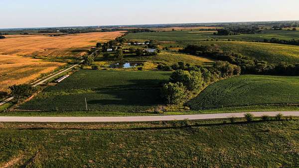
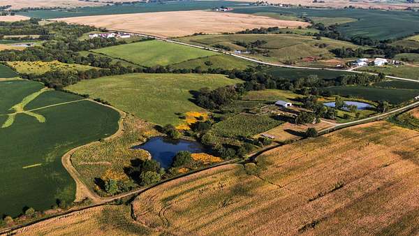
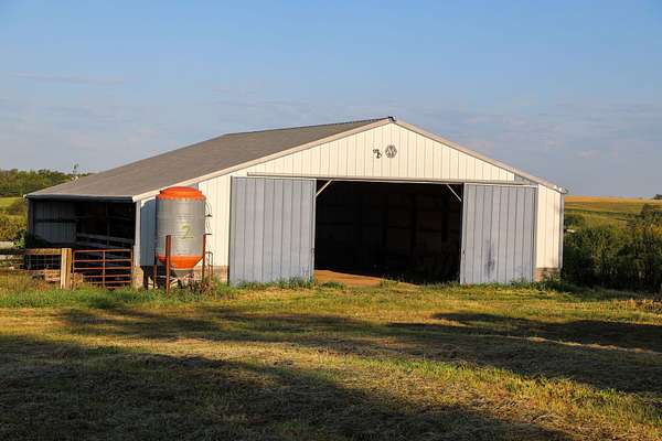
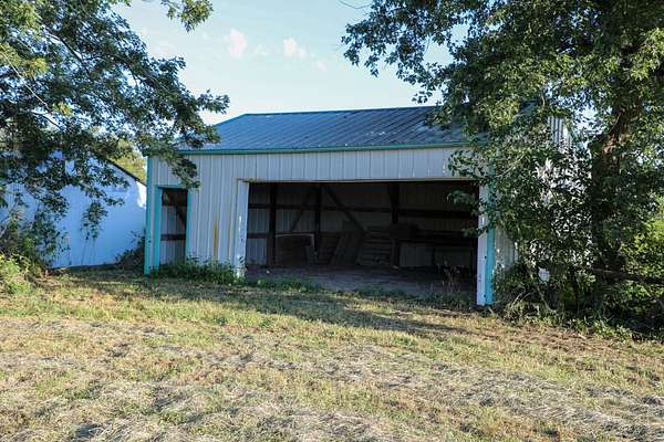
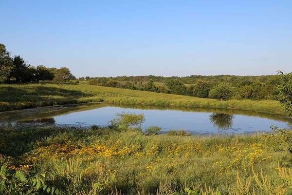
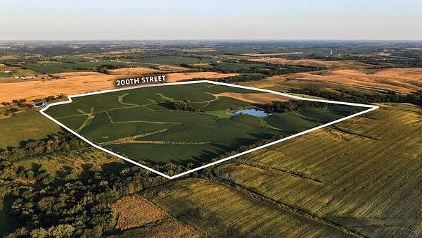
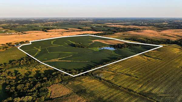
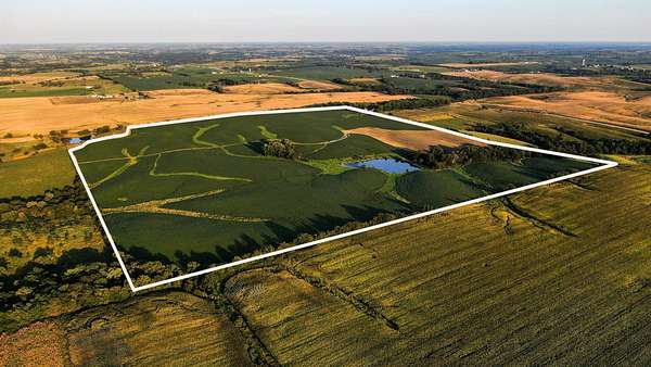
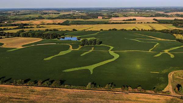
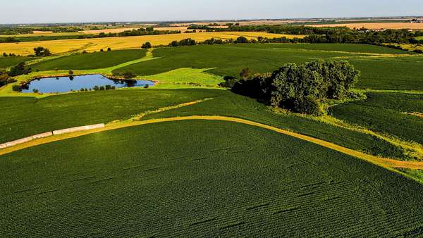
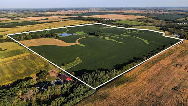
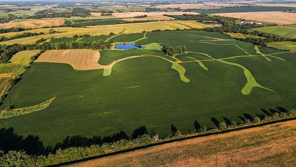
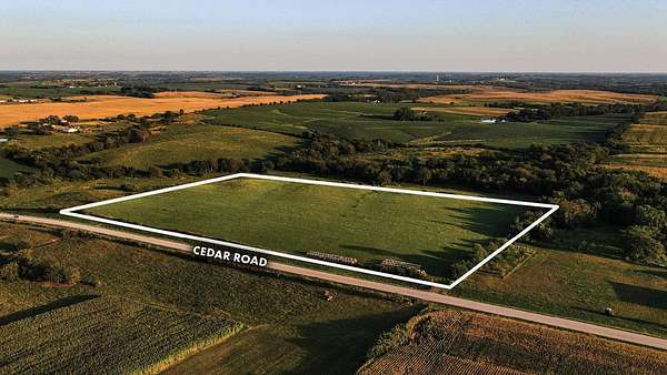
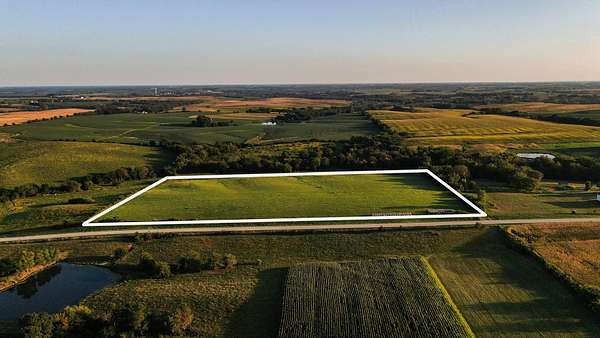
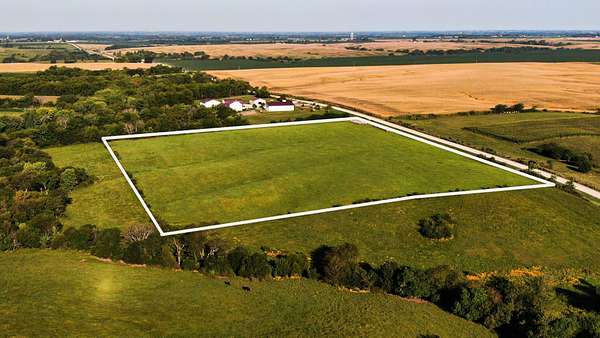
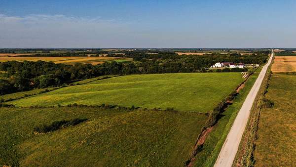
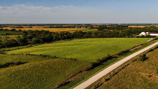
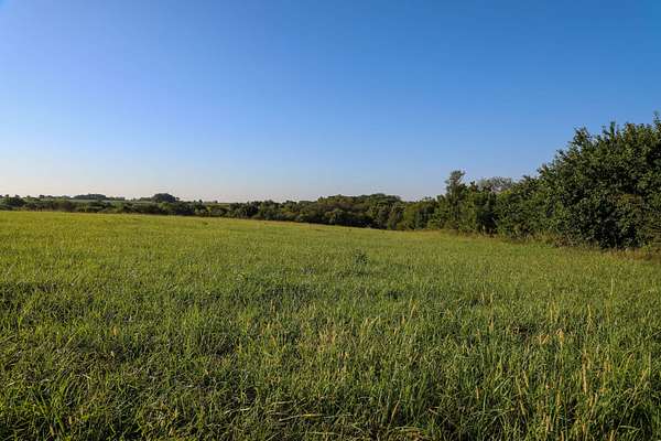
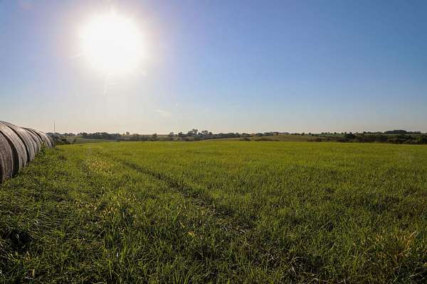
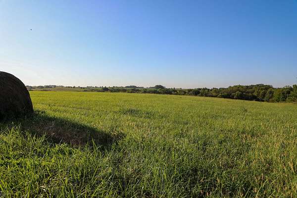
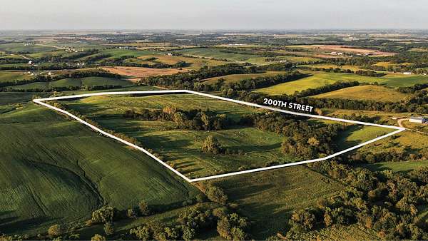
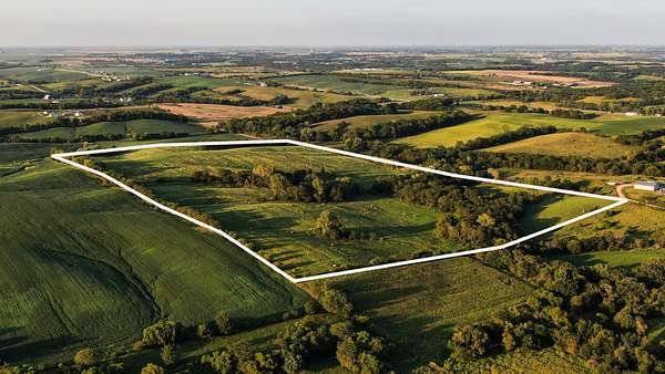
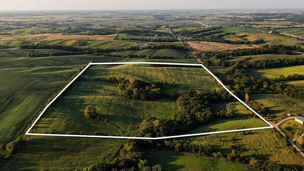
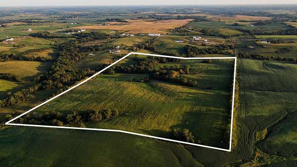
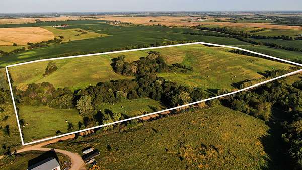
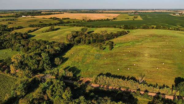
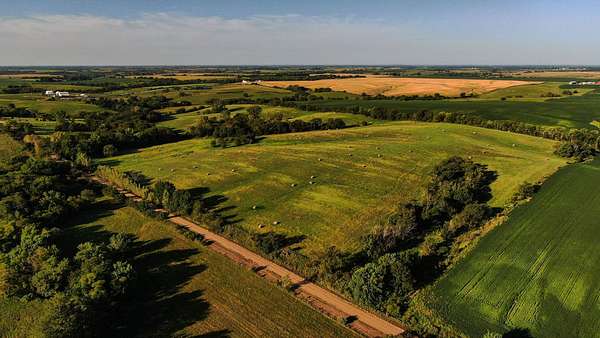
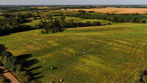
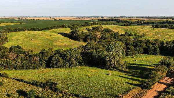
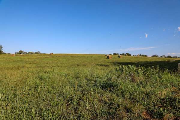
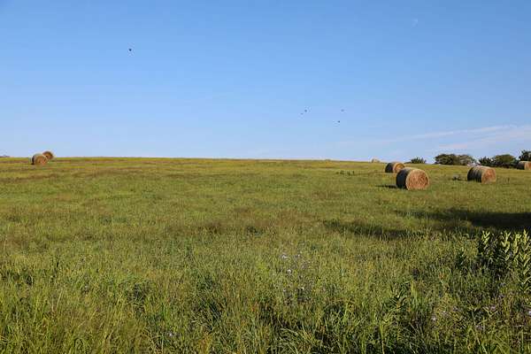
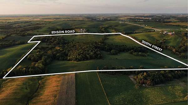
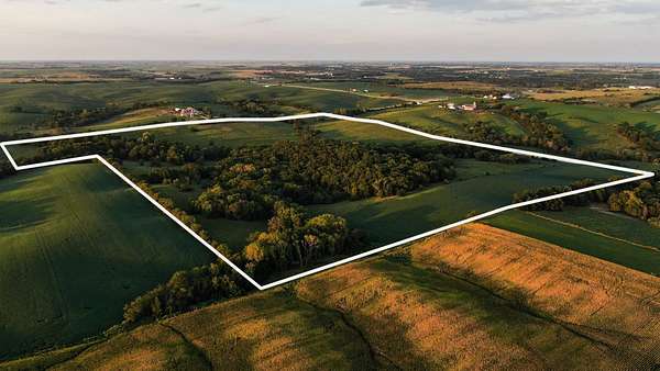
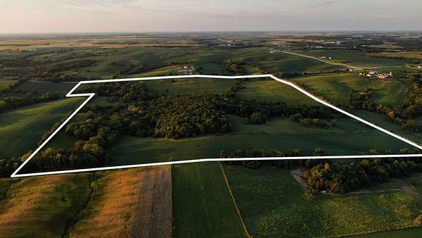
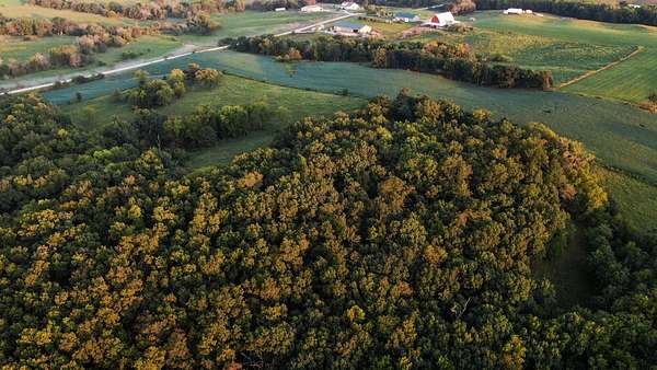
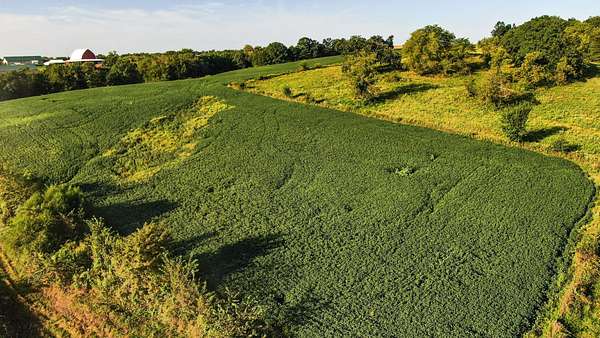
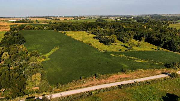
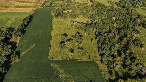
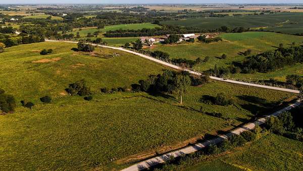
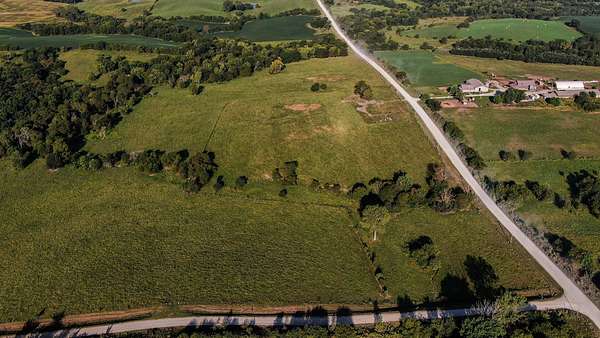
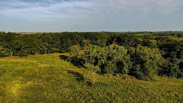
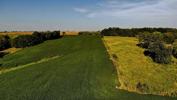
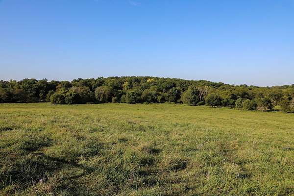
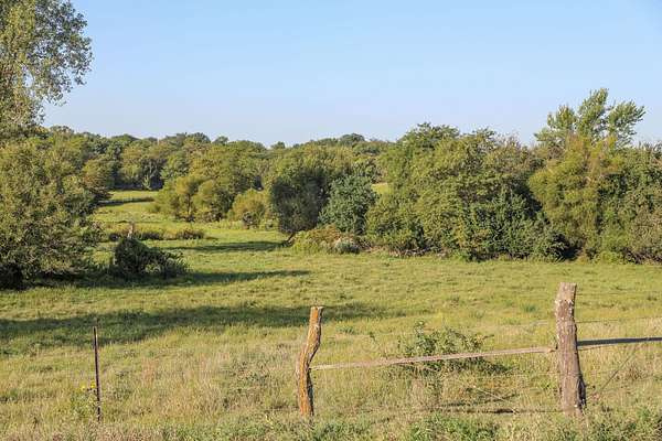
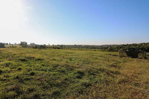
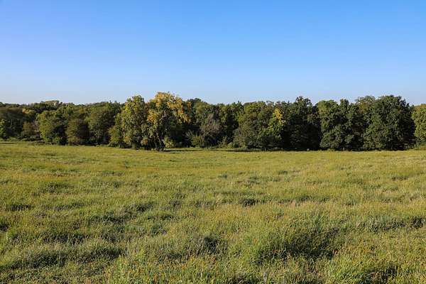
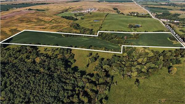
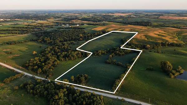
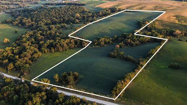
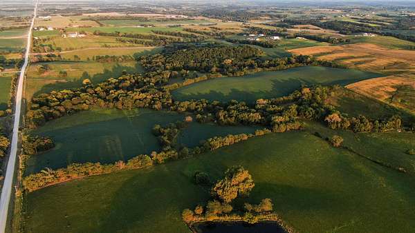
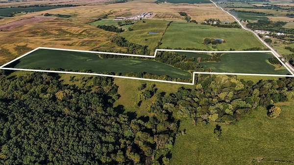
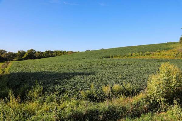
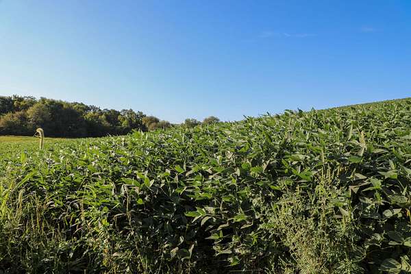
Offered in fifteen tracts, the Snider farmland portfolio provides buyers with the flexibility to purchase an individual property or assemble a combination suited to their operation, investment objectives, or recreational interests. This diverse offering includes high-quality farmland, productive pastureland and hay ground, recreational land, potential building sites, and an exceptional home with accompanying buildings. Situated in a tightly held area of Wayne County, Iowa, these properties are available to the public for the first time in many years, including tracts that have remained in family ownership for more than a century. With tracts of varying sizes, buyers may bid on a single tract or assemble the combination that best aligns with their objectives and budget. Surveyed Acre Amounts: Tract 1: 50.80 Surveyed Acres
Tract 2: 74.08 Surveyed Acres Tract 3: 31.27 Surveyed Acres
Tract 4: 22.80 Surveyed Acres Tract 5: 27.08 Surveyed Acres Tract 6: 80.03 Surveyed Acres Tract 7: 182.23 Surveyed Acres Tract 8: 109.36 Surveyed Acres Tract 9: 52.56 Surveyed Acres Tract 10: 81.16 Surveyed Acres Tract 11: 145.63 Surveyed Acres Tract 12: 16.48 Surveyed Acres Tract 13: 65.32 Surveyed Acres Tract 14: 129.12 Surveyed Acres Tract 15: 42.34 Surveyed Acres TOTAL SURVEYED ACRES: 1110.31 ACRES
The fifteen tracts will be offered at a live public auction beginning at 10:00 a.m. on Thursday, December 10, 2026, at the Sewal Community Center in Sewal, Iowa. Tract 1 will be offered first and sold individually on a whole-dollar basis. Tracts 2 through 15 will then be offered on a price-per-acre basis using the Buyer’s Choice auction method. The successful bidder may select one tract, multiple tracts, or all remaining tracts—in any order—at the winning price per acre. Buyer’s Choice bidding will continue until every tract has been selected and sold. At the conclusion of the auction, the fifteen tracts will not be combined or offered as a single unit. The auction may also be viewed through the Peoples Company mobile bidding app, with online bidding available to registered bidders.
Tract 1 Open House: Saturday, November 21, 2026, from 9:00 AM to 12:00 PM. *Or by appointment only.
Auction details
- Price
- Contact agent
- Date
- Description
Listing #19828 - 1110.31 acres in Wayne County, IA
- Location
- 2562 Euclid Street, Sewal, Iowa 50060
Seymour, IA
Location
- Street address
- 2939 205th St
- County
- Wayne County
- Zip code
- 52590
- Elevation
- 1,060 feet
Property details
- Acreage
- 1,110 acres
- Posted
Property taxes
- Recent
- $18,094
Legal description
1110.31 surveyed acres located in Sections 5, 6, 7, 8, 9, & 18; all in Monroe Township; T-67-N, R-20-W, Wayne County, Iowa. Exact legal descriptions can be found on the individual tracts and plats of survey.
Resources
- Tract 1 FSA Aerial
- FSA Map - Tract 1
- FSA Map - Tract 2
- FSA Map - Tract 3
- FSA Map - Tract 4
- FSA Map - Tract 5
- FSA Map - Tract 6
- FSA Map - Tract 7
- FSA Map - Tract 7 CRP
- CRP Map & Contract1 - Tract 7
- CRP Map & Contract2 - Tract 7
- FSA Map - Tract 8
- FSA Map - Tract 9
- FSA Map - Tract 10
- FSA Map - Tract 11
- FSA Map - Tract 12
- FSA Map - Tract 13
- FSA Map - Tract 14
- FSA Map - Tract 15
- Preliminary Conservation Plan
- Tract 1 Total Soils Map
- Tract 1 Tillable Soils Map
- Tract 1 Plat Map
- Tract 2 Total Soils Map
- Tract 2 Tillable Soils Map
- Tract 2 Plat Map
- Tract 3 FSA Aerial Map
- Tract 3 Total Soils Map
- Tract 3 Tillable Soils Map
- Tract 3 Plat Map
- Tract 4 Total Soils Map
- Tract 4 Tillable Soils Map
- Tract 4 Plat Map
- Tract 5 FSA Aerial Map
- Tract 5 Total Soils Map
- Tract 5 Tillable Soils Map
- Tract 5 Plat Map
- Tract 6 Total Soils Map
- Tract 6 Tillable Soils Map
- Tract 6 Plat Map
- Tract 7 Total Soils Map
- Tract 7 Tillable Soils Map
- Tract 7 CRP Soils Map
- Tract 7 Plat Map
- Tract 8 Total Soils Map
- Tract 8 Tillable Soils Map
- Tract 8 Plat Map
- Tract 9 FSA Aerial Map
- Tract 9 Total Soils Map
- Tract 9 Tillable Soils Map
- Tract 9 Plat Map
- Tract 10 Total Soils Map
- Tract 10 Tillable Soils Map
- Tract 10 Plat Map
- Tract 11 Total Soils Map
- Tract 11 Tillable Soils Map
- Tract 11 Plat Map
- Tract 12 FSA Aerial Map
- Tract 12 Total Soils Map
- Tract 12 Tillable Soils Map
- Tract 12 Plat Map
- Tract 13 Total Soils Map
- Tract 13 Tillable Soils Map
- Tract 13 Plat Map
- Tract 14 Total Soils Map
- Tract 14 Tillable Soils Map
- Tract 14 Plat Map
- Tract 15 Total Soils Map
- Tract 15 Tillable Soils Map
- Tract 15 Plat Map
- Survey - All Tracts
- All Tract Map
- Preliminary Conservation Plan - All Tracts
- Sellers Disclosure of Property Condition
- Lead Based Paint Disclosure
Listing history
| Date | Event | Price | Change | Source |
|---|---|---|---|---|
| Oct 14, 2026 | New listing | $— | — | Listing agent |