
Residential Land for Sale in Lanesburgh Township, Minnesota
300th St, Lanesburgh Township, MN 56071
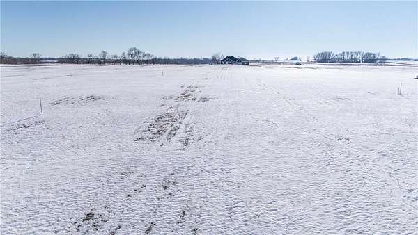
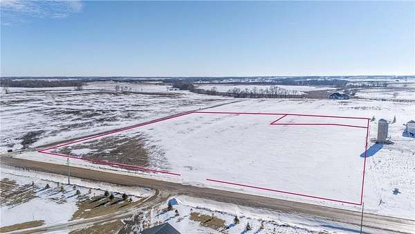
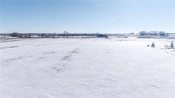
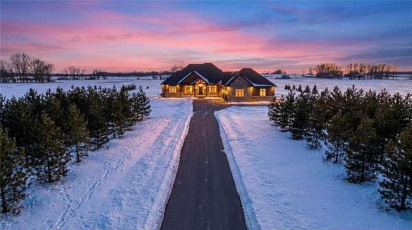
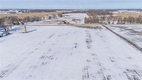
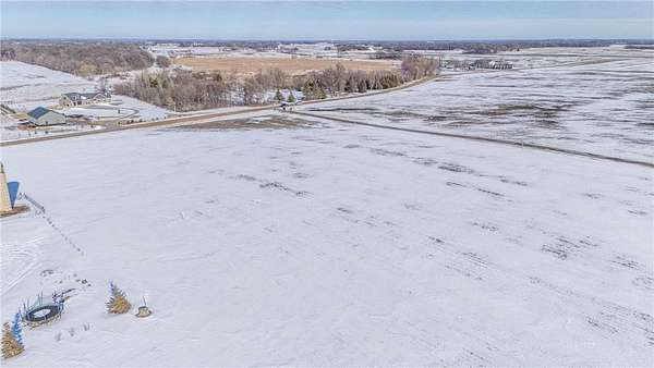
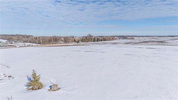
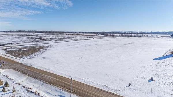
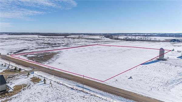
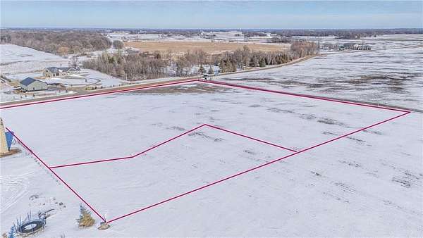
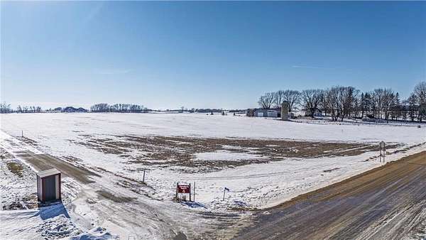
Build the exact home you desire on 6.23-acres in rural New Prague (Le Sueur County). 4 miles west of town. Ideal for a walk-out home. True "blank canvas," allowing you to landscape and plant mature trees exactly where you want them and avoid the high cost and hassle of clearing existing brush. Enjoy Natural Gas and High-Speed Fiber Optic (Internet/TV), ensuring modern luxury in a country setting. The survey is complete, and the culvert and entrance are in. 3.69 acres can remain tillable, providing immediate passive income via a farm lease while you plan and build. Peaceful but connected. Benefit from the privacy provided by neighboring acreage while enjoying the security of a community feel. Prime location offers quick, easy access to Hwy 169. Your Build, Your Way: Bring your own builder or consult with our local builder. Custom home range $500k to $2M+. Well and septic referrals are also available to streamline your process.Peace, privacy, and modern connectivity await. Required: Contact agent prior to walking the property to ensure seller awareness.
Location
- Street address
- 300th St
- County
- Le Sueur County
- Elevation
- 1,037 feet
Directions
Note: Enter this address into maps. 18795 300th St, New Prague MN
Take CR 2 (260th St) West, Left on Delmar Avenue. Right on 300th St. Land is 1 mile on the left side.
Take Hwy 19 West, Left on 181st. Right on 300th St. (CR122) Land is 1 mile on the left side.
Property details
- Acreage
- 6.23 acres
- Zoning
- Agriculture, Residential-Single Family
- MLS #
- RMLS 7002951
- Posted
Property taxes
- 2026
- $923
Parcels
- 070180122
Legal description
That part of Government Lots 2, 3, 4 and 8 of Section 18, Township 112 North, Range 23 West, Le Sueur County, Minnesota, described as follows: Commencing at the West Quarter Corner of said Section 18; thence North 00 degrees 13 minutes 35 seconds East (bearings based on Le Sueur County Coordinate System NAD83, 1996 Adjustment) on the west line of said Government Lots 3 and 4, a distance of 1443.60 feet; thence North 84 degrees 30 minutes 09 seconds East, a distance of 1010.98 feet to the point of beginning; thence continuing North 84 degrees 30 minutes 09 seconds East, a distance of 477.36 feet; thence South 00 degrees 56 minutes 06 seconds West, a distance of 600.42 feet; thence North 89 degrees 46 minutes 43 seconds West, a distance of 467.55 feet; thence North 00 degrees 13 minutes 35 seconds East, a distance of 552.81 feet to the point of beginning.
Said parcel contains 6.23 acres of land.
Listing history
| Date | Event | Price | Change | Source |
|---|---|---|---|---|
| Jan 29, 2026 | New listing | $247,900 | — | RMLS |