Land for Sale in Peyton, Colorado
3235 Antelope Hill Vw, Peyton, CO 80831
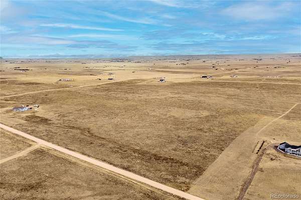
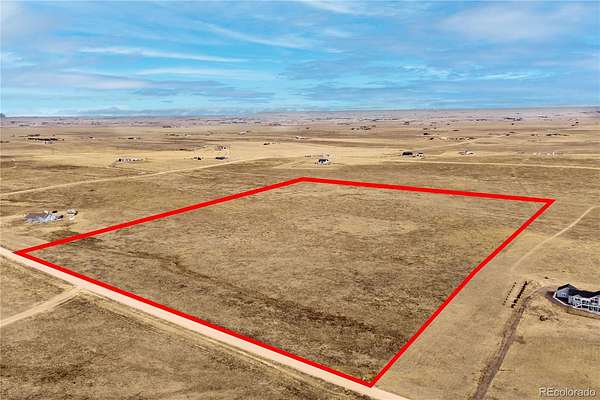
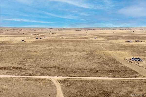
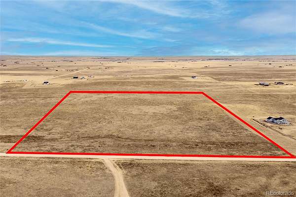
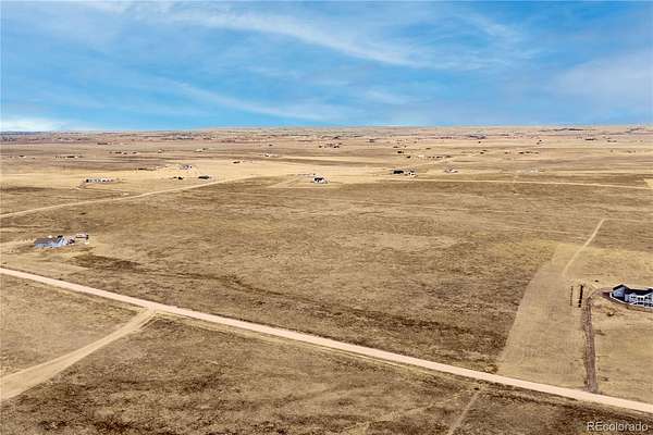
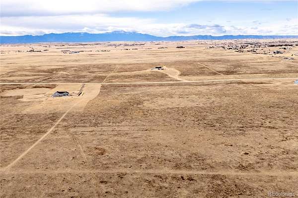
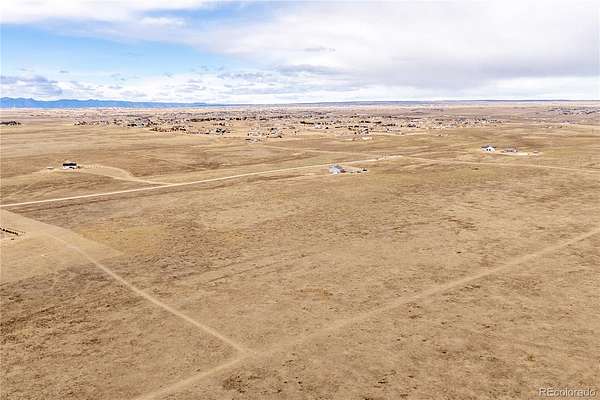
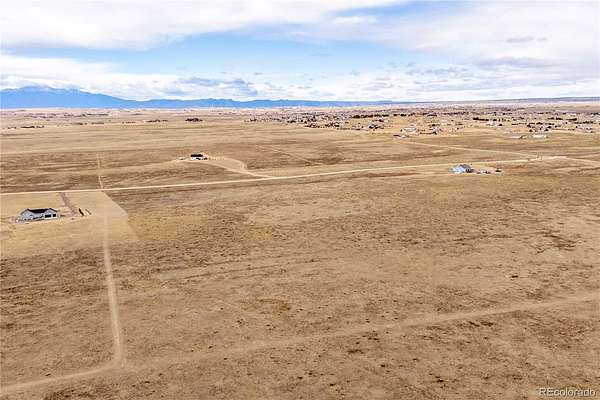
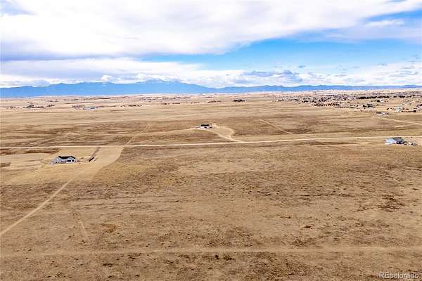
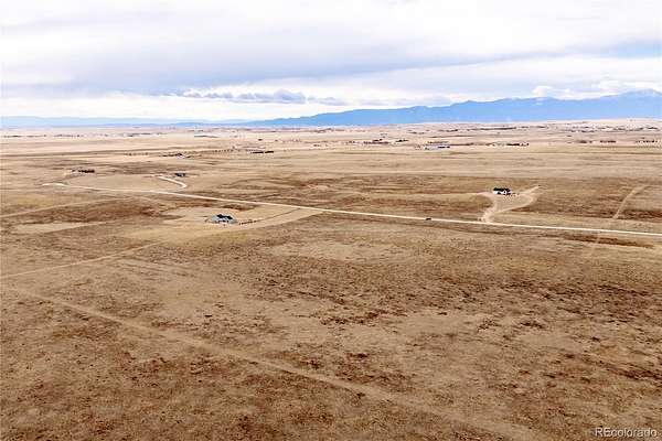
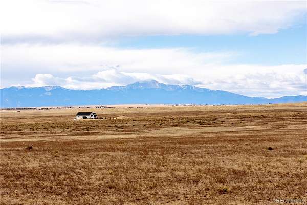
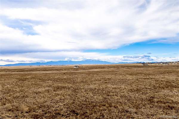
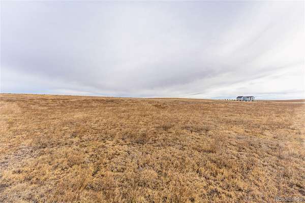
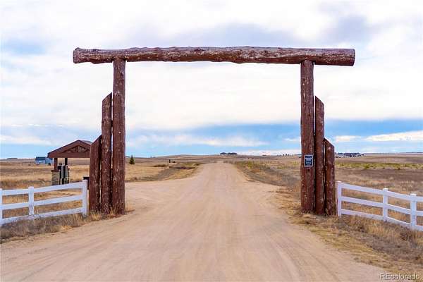
Welcome home to Trails End Ranch, a truly one-of-a-kind, high-quality rural community where wide-open spaces and breathtaking Colorado scenery create the perfect setting for your dream estate. This exceptional 35-acre parcel of gently rolling land offers panoramic views of Pikes Peak, the Front Range, Sangre de Cristo Mountains, and the Spanish Peaks, along with unforgettable sunrises, sunsets, and abundant wildlife. Enjoy the freedom of reasonable, well-crafted covenants with NO HOA, a feature residents love. Community enhancements include a charming log entryway, stone mail kiosk with bench, underground electric to the property line, and well-built roads with road base. Owners also enjoy dedicated private riding trails, perfect for horseback riding, biking, jogging, or walking your dog. An acre-foot of water rights is included, adding exceptional long-term value to this already outstanding property. Conveniently located just 15 minutes to Falcon, under 10 minutes to Schriever Space Force Base, and 20–25 minutes to the Powers Corridor and Peterson Space Force Base, with major shopping and services nearby—offering the ideal balance of privacy and accessibility.
- Listed by Amy Kunce-Martinez, (719) 661-1199, The Cutting Edge
Location
- Street address
- 3235 Antelope Hill Vw
- County
- El Paso County
- Zip code
- 80831
- Community
- Trails End Ranch
- School district
- Ellicott 22
- Elevation
- 6,382 feet
Directions
Head northeast on US-24 E toward Garrett Rd, Turn right onto Garrett Rd, Turn right onto Curtis Rd, Turn left onto Jones Rd, Turn right onto Murr Rd, Turn left onto Kevin's View, Turn right onto Antelope Hl Vw
Property details
- Acreage
- 35.1 acres
- Zoning
- RR-5
- MLS #
- REcolorado 4292175
- Posted
Property taxes
- 2024
- $2,816
Parcels
- 33000-00-658
Legal description
A TR OF LAND BEING IN SEC 31-13-63 DESC AS FOLS: COM AT THE NW COR OF SD SEC 31, TH N88-56-04E 1463.25 FT, TH S00-05-42E 1062.44 FT TO POB, TH CONT S00-05-42E 1045.05 FT, TH N89-36-55E 1463.06 FT, TH N00-05-42W 1045.05 FT, TH S89-36-55W 1463.06 FT TO POB AKA PARCEL 6 ON TRAILS END RANCH LAND SURVEY PLAT AS DESC BY REC #220900215.
Details and features
Listing
- Type
- Land
- Subtype
- Unimproved Land
- Ownership
- Individual
- Terms
- Cash, Conventional
- Exclusions
- N/A
Lot
- View
- Meadow, Plains
- Features
- Level
Property utilities
| Category | Type | Status |
|---|---|---|
| Power | Grid | Available |
Listing history
| Date | Event | Price | Change | Source |
|---|---|---|---|---|
| June 25, 2026 | Price drop | $285,000 | $14,900 -5% | REcolorado |
| Jan 6, 2026 | New listing | $299,900 | — | PPAR |
Payment calculator
Based on information submitted to the MLS GRID as of July 7, 2026 1:00 pm MT. All data is obtained from various sources and may not have been verified by broker or MLS GRID. Supplied Open House Information is subject to change without notice. All information should be independently reviewed and verified for accuracy. Properties may or may not be listed by the office/agent presenting the information. Some IDX listings have been excluded from this website. View more