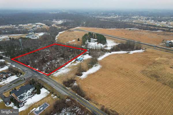
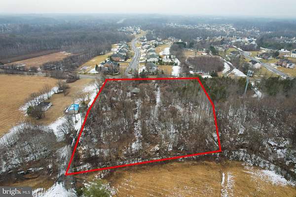
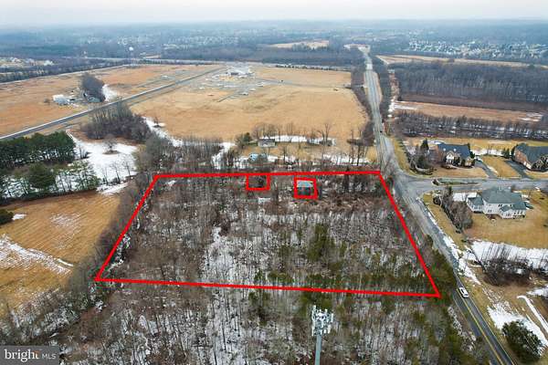
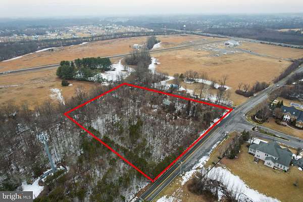
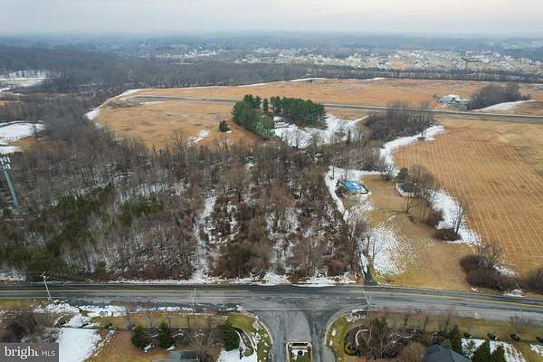
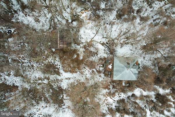
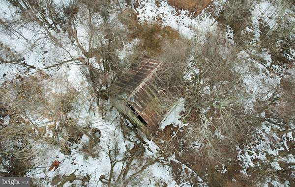
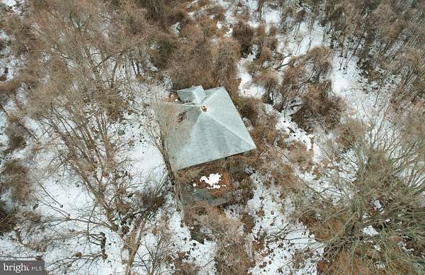
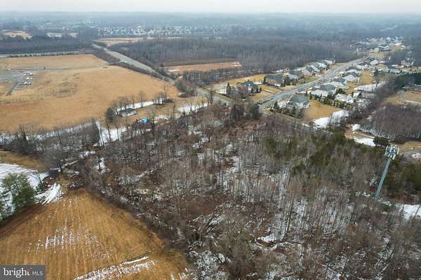
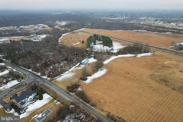
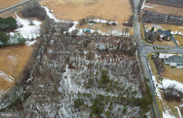
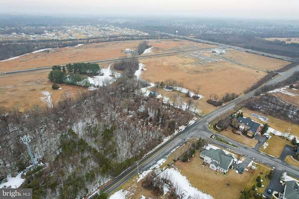
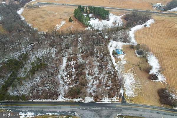
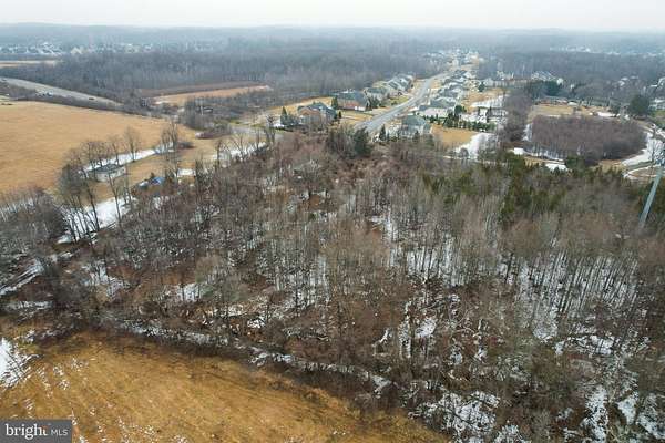
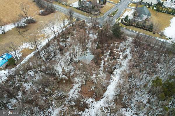
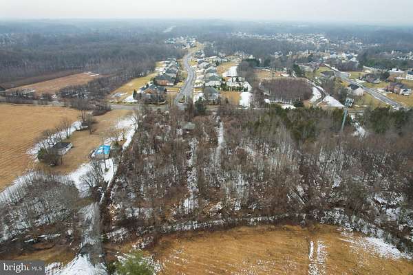
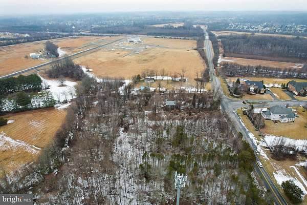
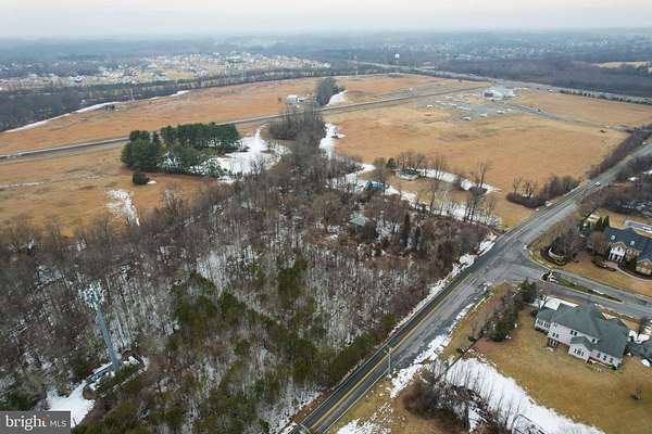
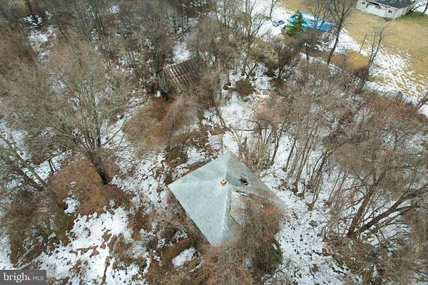
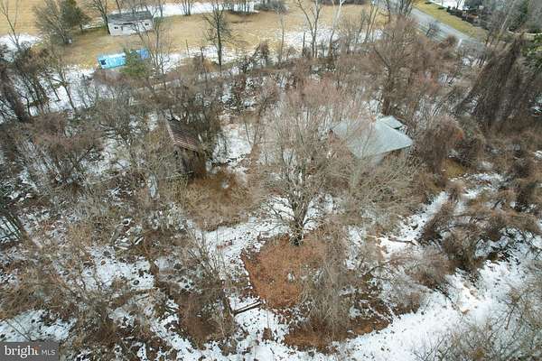
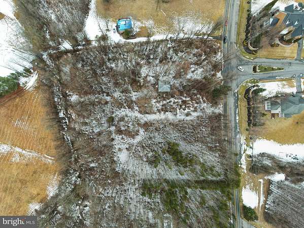
This is a large level lot almost next to the Freeway Airport which is currently proposed to be redeveloped into 297 single family homes. The property is shown in the tax records as being 3.84 Acres. The red outlines on some of the aerial photos are approximately correct. The rear boundary is a stream. The boundary closest to the airport is a gravel driveway. The property includes a single family detached home which has been vacant for several decades and may not be accessed without a Hold Harmless agreement, plus what remains of a tobacco barn and a chicken coop. The land records go back to the 17th century. The owner has a survey which was done in 1952. There are currently flags and a sign on the property belonging to one or more developers which were not authorized and have nothing to do with the current ownership. RE/MAX signage at both ends of street frontage, but accuracy not guaranteed. From the owner per survey done in 1952 The front line on Church Road is listed as 183.84191.68 plus 184.88 for plus 185.15 for the sides of the kink for the center of the road description for total 368.99, the side with the squat house is 499.16 feet, the side of the tower is 418.60 feet and the back side 184.66 feet plus 191.68 for marked for 376.34. He has the original survey.