Land for Sale in Carbondale, Colorado
380 Ten Peaks Mesa Rd, Carbondale, CO 81623
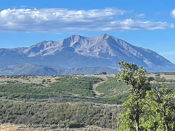
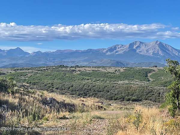
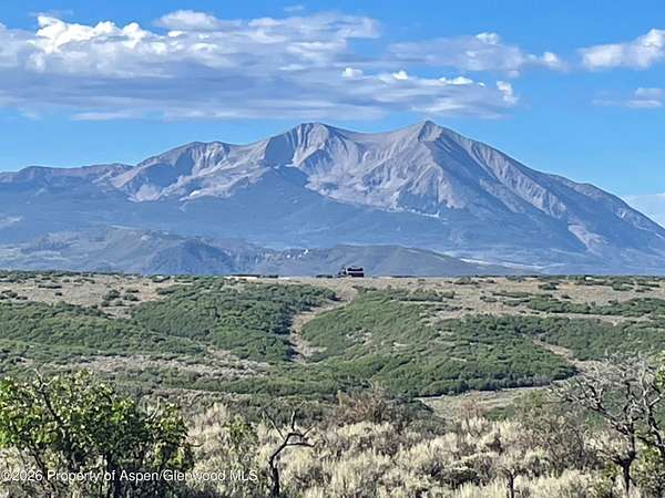
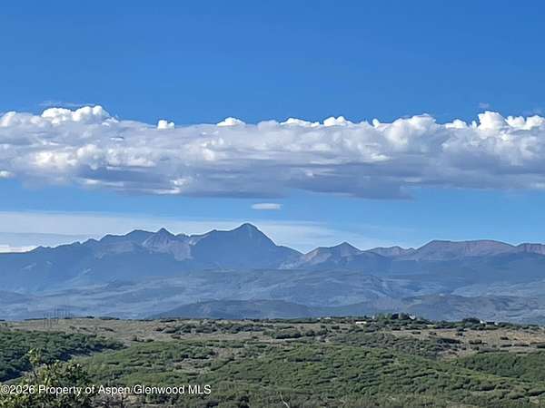
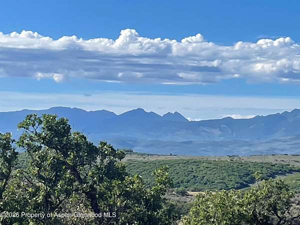
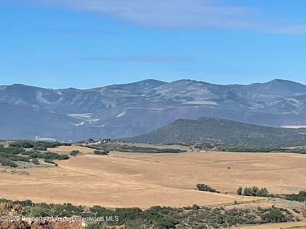
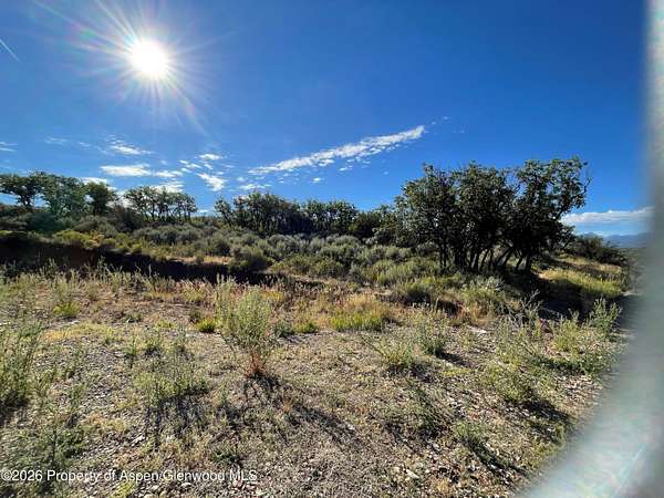
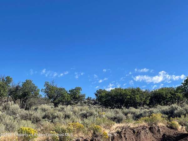
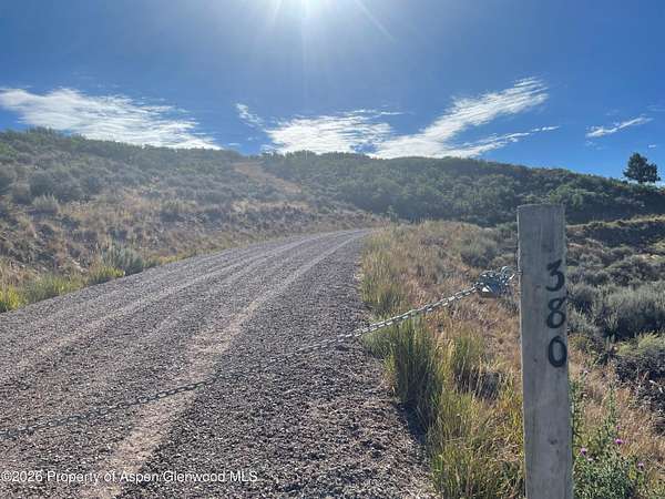
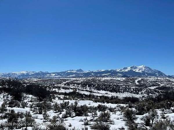
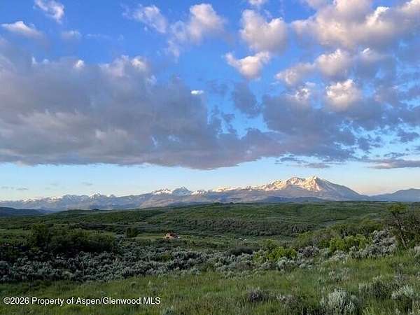
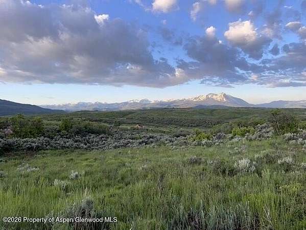
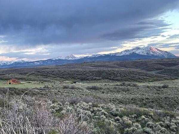
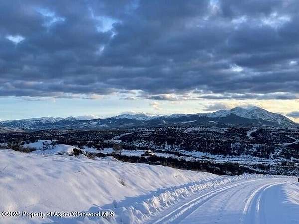
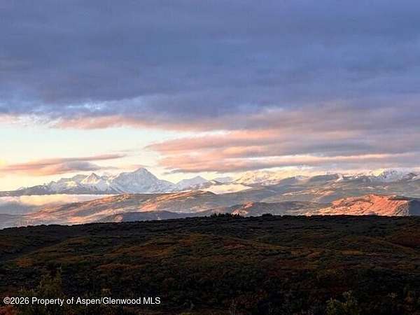
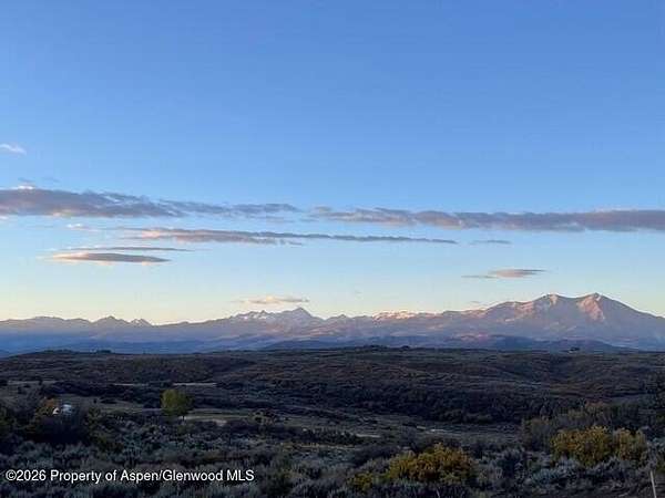
This thirty-six acres has a well, buried electric, a survey, and unbeatable views! Your top-of-the-world sunny building site looks at the Maroon Bells, Capitol Peak, Mount Sopris front and center, and Ski Sunlight. It is just 15 minutes to Whole Foods in Willits or Catherine Store near Carbondale. The world-class skiing in Aspen and Snowmass is less than 45 minutes away. The well-built driveway leads to one of the best view sites in the valley. There is also a septic permit in place. Deer and elk are plentiful. House plans are available. The perfect place for the home of your dreams!
Location
- Street address
- 380 Ten Peaks Mesa Rd
- County
- Eagle County
- Zip code
- 81623
- Community
- Pleasant Valley
- Elevation
- 7,345 feet
Directions
From El Jebel, up El Jebel Hill past Spring Park Reservoir 3.5 miles to end of pavement, continue on gravel road 3.5 miles past turn on Basalt Mountain Road staying on Upper Cattle Creek Road to signs on Right for Ten Peaks Mesa Road and Pleasant Valley Ranch Road. Approximately half a mile up the subdivision road to gate on right with 380 address on the gate post. Up driveway to building site.
Property details
- Acreage
- 36.24 acres
- Zoning
- PUD
- MLS #
- AGSMLS 194267
- Posted
Property taxes
- 2025
- $14,560
Parcels
- 239104401003
Legal description
TRACT 9, PLEASANT VALLEY RANCH, ACCORDING TO THE PLAT THEREOF RECORDED IN EAGLE COUNTY, COLORADO ON APRIL 22, 2003 AS RECEPTION NO. 830853. ALSO KNOWN AS: A TRACT OF LAND SITUATE IN SECTIONS 3 AND 4, TOWNSHIP 7 SOUTH, RANGE 87 WEST OF THE 6TH PRINCIPAL MERIDIAN, COUNTY OF EAGLE, STATE OF COLORADO. BEGINNING AT THE SE CORNER OF SAID SECTION 4; THENCE N 87 degrees 49'10'' W 354.72 FEET ALONG THE SOUTH LINE OF SAID SECTION 4 TO THE SE CORNER OF LOT 13 OF SAID SECTION 4; THENCE N 87 degrees 41'55'' W. 1367.78 FEET ALONG THE SOUTH LINE OF SAID SECTION 4; THENCE N 00 degrees 34'47'' W. 1075.02 FEET TO THE CENTER OF A 60 FOOT WIDE ACCESS AND UTILITY EASEMENT; THENCE ALONG THE CENTER OF SAID 60 FOOT WIDE ACCESS AND UTILITY EASEMENT THE FOLLOWING COURSES: S 29 degrees 24'56'' E 240.24 FEET; THENCE 61.96 FEET ALONG THE ARC OF A 400.00 FEET RADIUS CURVE TO THE LEFT HAVING A CENTRAL ANGLE OF 8 degrees 52'28'' AND SUBTENDING A CHORD BEARING S 33 degrees 51'10'' E 61.89 FEET; THENCE S 38 degrees 17'25'' E. 327.50 FEET; THENCE 256.50 FEET ALONG THE ARC OF
Details and features
Listing
- Type
- Land
- Franchise
- Coldwell Banker Real Estate
Structure
- Water
- Well
Property utilities
| Category | Type | Status |
|---|---|---|
| Gas | Propane | Available |
Listing history
| Date | Event | Price | Change | Source |
|---|---|---|---|---|
| Aug 21, 2026 | New listing | $1,400,000 | — | AGSMLS |