
Land for Auction in Grand Island, Nebraska
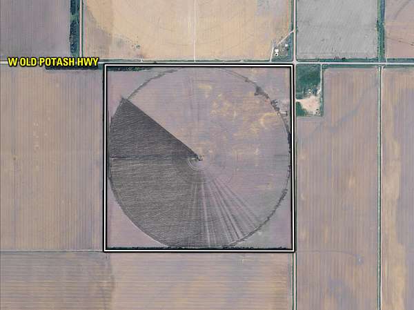
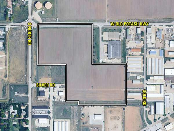
3846 W Old Potash Hwy, Grand Island, NE 68803
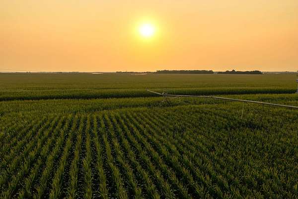
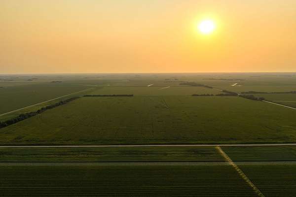
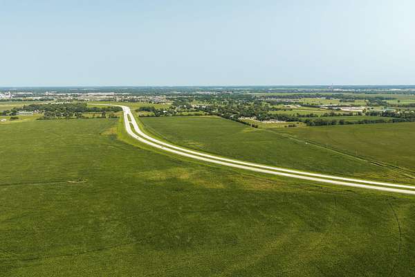
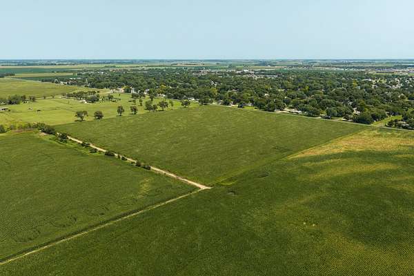
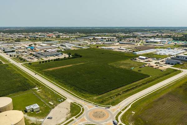
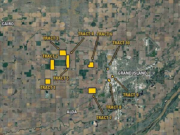
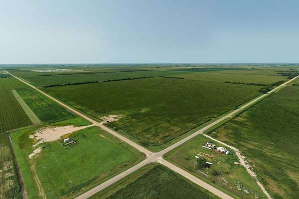
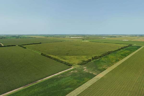
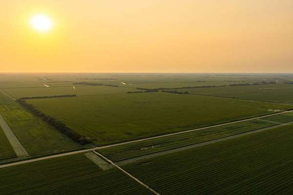
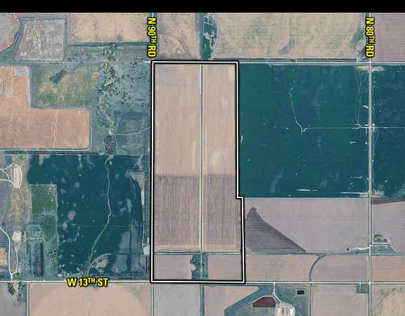
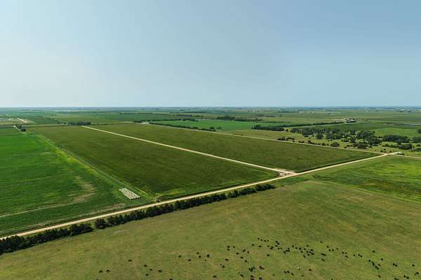
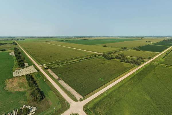
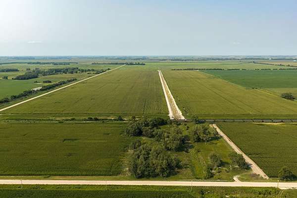
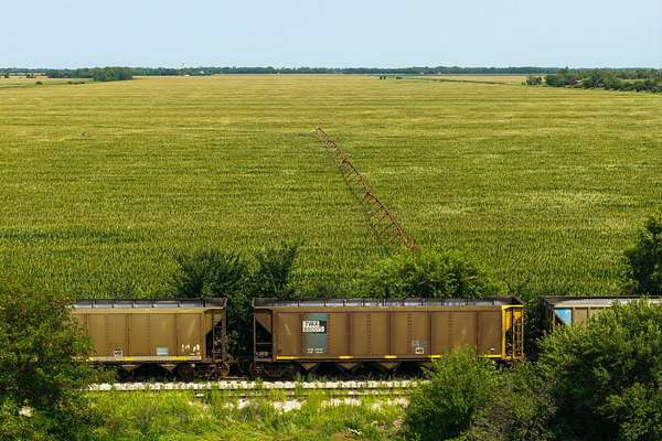
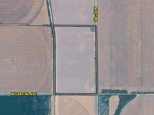
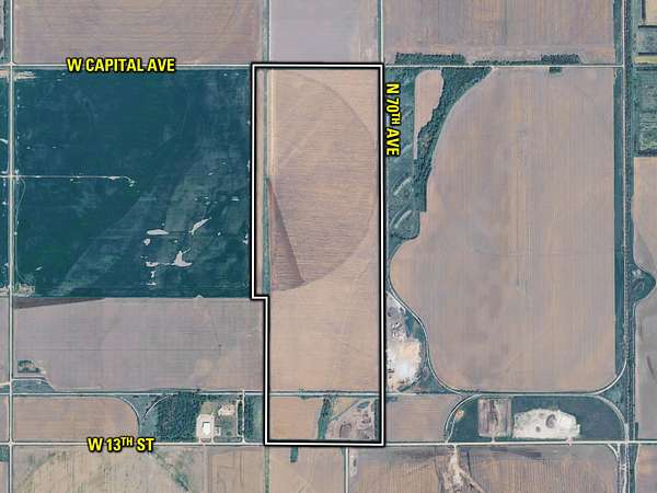
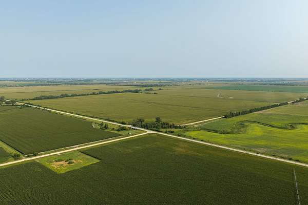
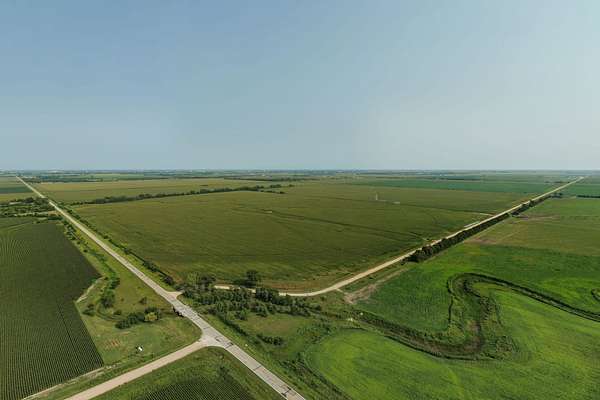
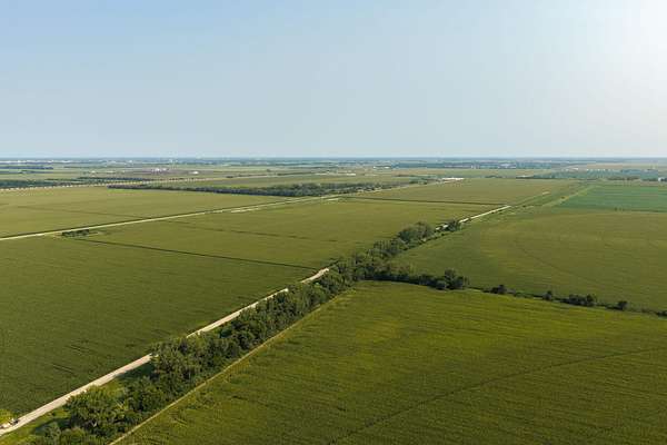
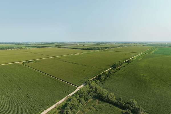
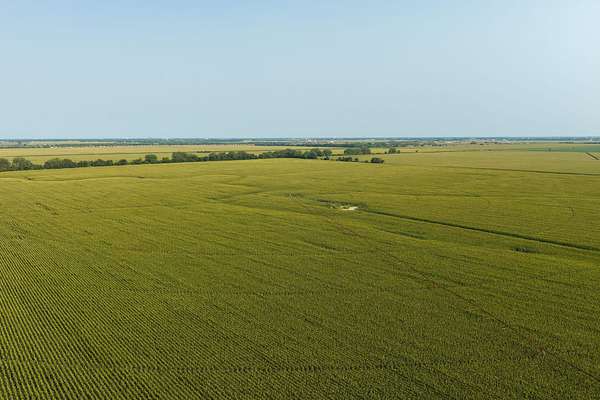
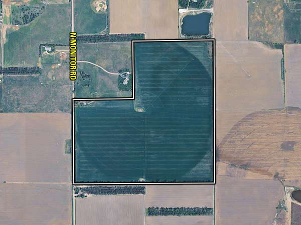
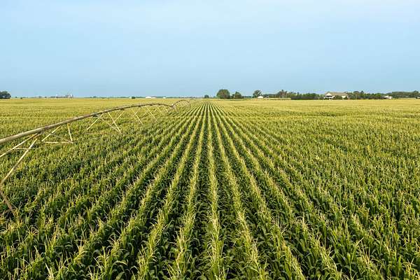
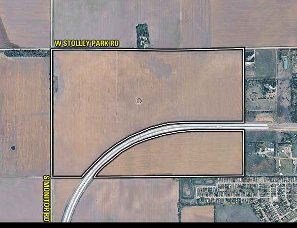
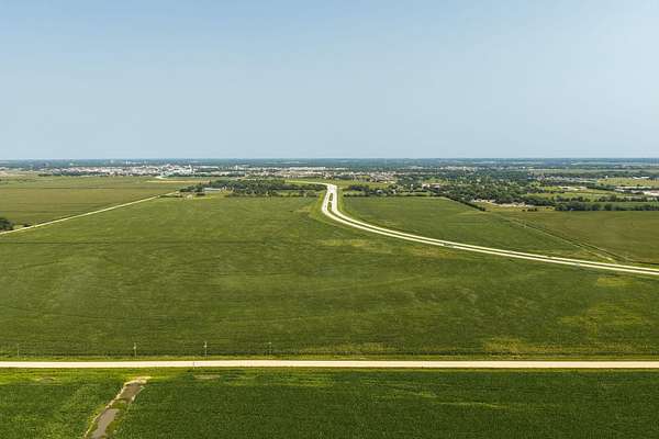
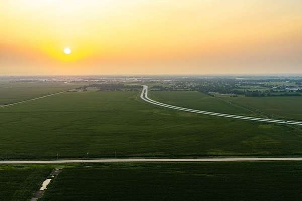
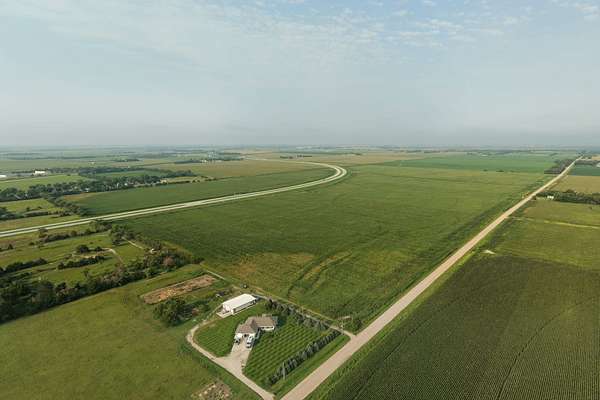
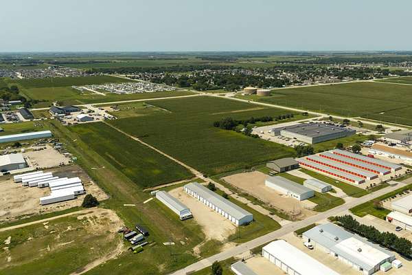
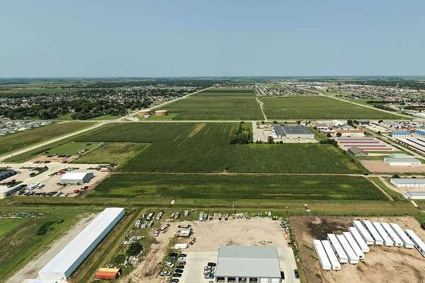
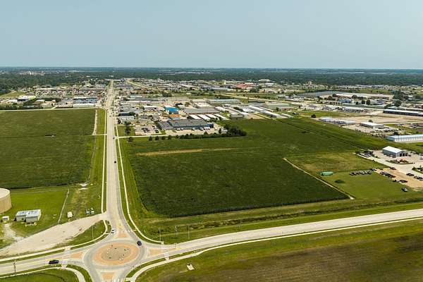
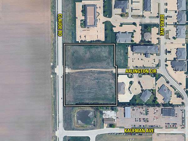
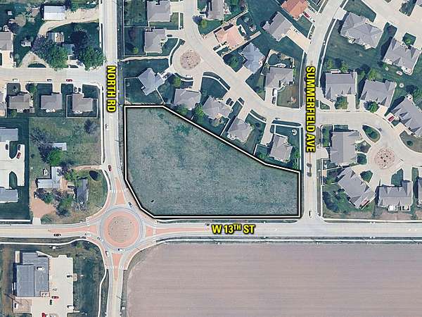
The Grand Island Farm Portfolio represents a rare opportunity to acquire a significant amount of land in Nebraska’s Central Platte Valley. The portfolio will be offered in 10 tracts ranging from development ready land within the Grand Island City limits to productive irrigated farmland. The tracts can be purchased individually or in any combination.
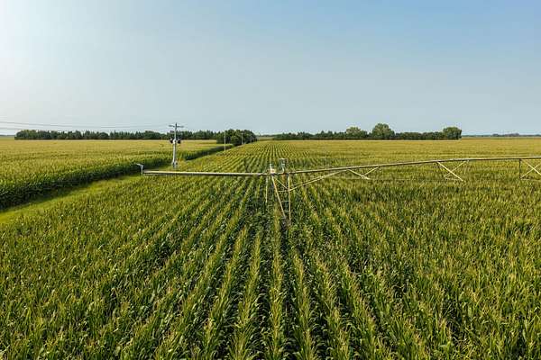
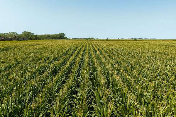
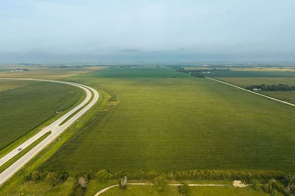
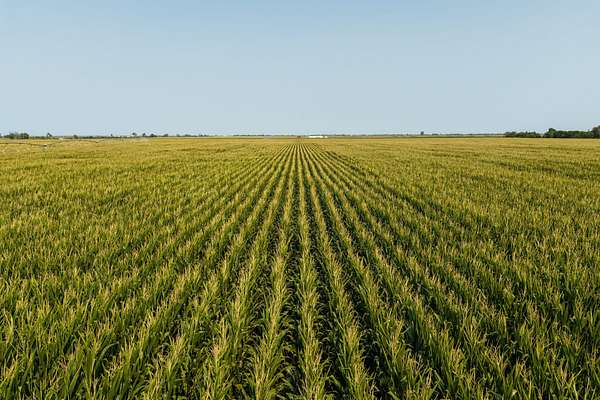
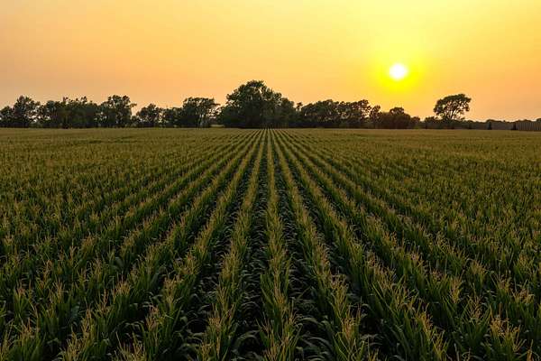
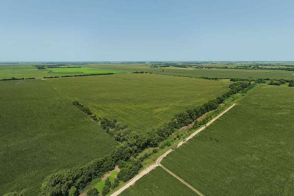
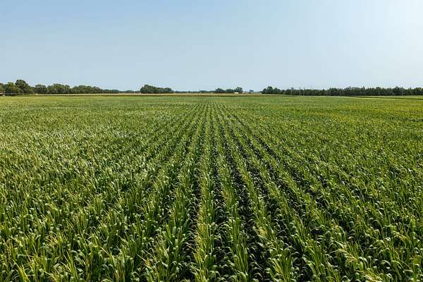
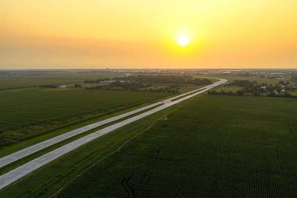
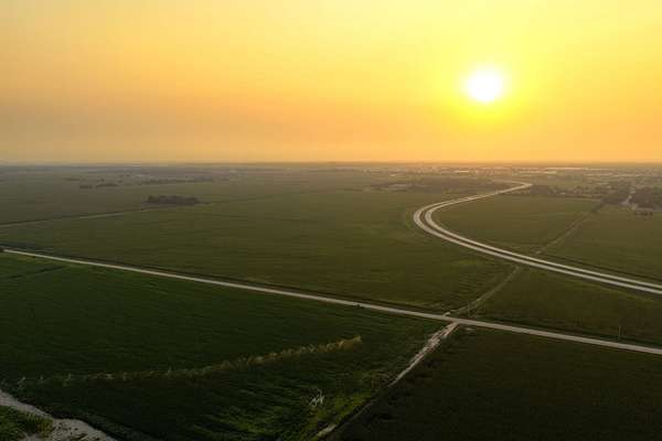
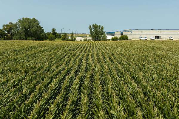
Located immediately west of Grand Island, the portfolio includes 1,298.81 total acres with approximately 1,183.02 tillable acres, making the offering nearly 95% tillable. The farms combine productive soils, extensive irrigation infrastructure, and convenient access to Highway 30, Interstate 80, and the strong agricultural markets of central Nebraska. The farms have a long history of irrigated row-crop production with historical yield information available. Predominant soils include Jansen fine sandy loam, Wood River-Silver Creek silt loams, and Wood River silt loam, which collectively account for approximately 85% of the mapped tillable acreage.
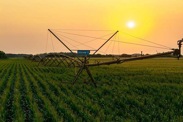
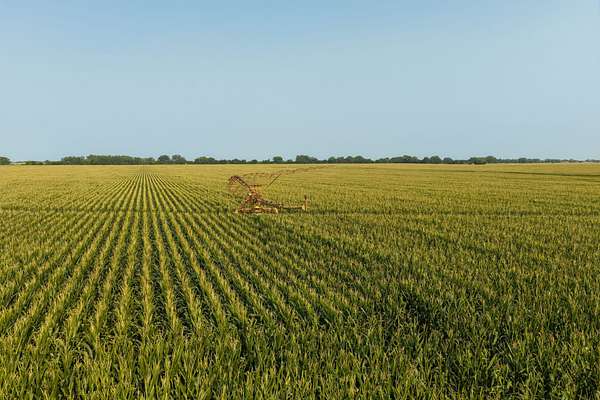
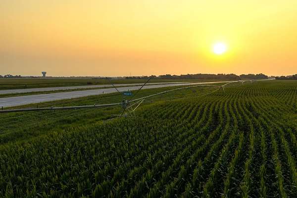
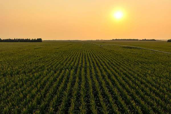
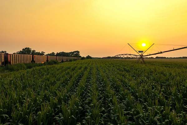
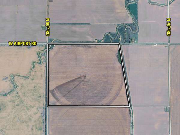
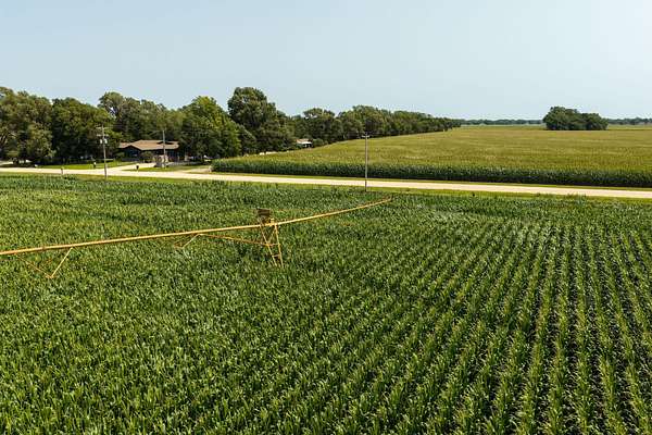
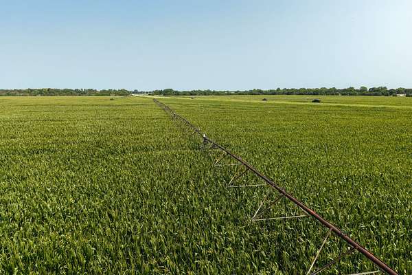
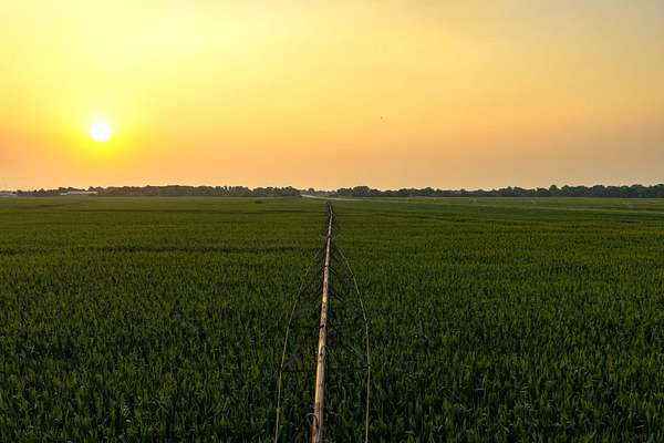
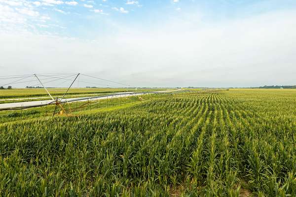
Water and irrigation infrastructure are important components of the portfolio. The farms are located within the Central Platte Natural Resources District and are supported by 15 irrigation wells and 10 center-pivot irrigation systems. The pivots include Valley, Zimmatic, and Reinke systems, with several newer systems and irrigation improvements made in recent years. Reported capacities for many of the irrigation wells range from approximately 850 to 1,200 gallons per minute.
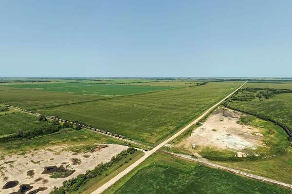
The properties are all located within a fairly small 4 x 7 mile geographic area of one another, offering the potential for an enterprise operation, saving equipment transportation road time over large distances in order to farm all of their land. Nebraska contains the largest share of the Ogallala aquifer – the largest natural aquifer by volume of any in the United States. The combination of Grand Island’s elevation and the near-to-surface, readily available access to this cherished resource makes farming a much more predictable endeavor, and a large majority of the farms offered are well developed with irrigation systems already in place to support crop production.
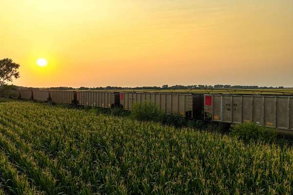
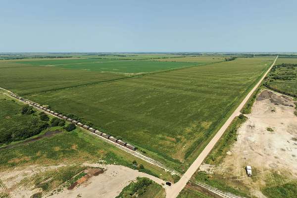
The local livestock industry requires not only corn for feed but additional crop production opportunities such as alfalfa hay and rye for either grazing or cutting for silage. The area livestock interests also offer access to manure as a natural substitute fertilizer rather than relying solely on commercial fertilizers that are subject to greater price volatility. The historical production on several of these farms, including multiple crops being produced each year, further sets them apart. Combine all of these attributes together with the convergence of multiple highways, State and County roads, and both the Union Pacific and BNSF railroads providing services to multiple grain terminals and ethanol plants in the area, the transportation and marketing options further set this opportunity apart from many others.
The Baxter Enterprises portfolio presented for sale is the culmination of 90+ years of meticulously careful planning by the Baxter family and offers something for all types of buyers.
Auction details
- Price
- Contact agent
- Date
- Description
Listing #19643 - acres in Hall County, NE
- Location
- Boulder Flatts
Grand Island, NE
Location
- Street address
- 3846 W Old Potash Hwy
- County
- Hall County
- Zip code
- 68803
- Elevation
- 1,918 feet
Property details
- Acreage
- 1,299 acres
- Posted
Resources
- Tract 2 - Map Binder
- Tract 2 - FSA Map
- Tract 2 - Total Soils Map
- Tract 2 - Tillable Soils Map
- Tract 2 - Flood Map
- Tract 2 - Plat Map
- Tract 3 - Map Binder
- Tract 3 - FSA Map
- Tract 3 - Total Soils Map
- Tract 3 - Tillable Soils Map
- Tract 3 - Flood Map
- Tract 3 - Plat Map
- Grand Island - Tract 4
- Grand Island - Tract 4-1
- Grand Island - Tract 4-2
- Grand Island - Tract 4-3
- Grand Island - Tract 4-4
- Grand Island - Tract 4-5
- Grand Island - Tract 4-7
- Tract 5 - Map Binder
- Tract 5 - FSA Map
- Tract 5 - Total Soils Map
- Tract 5 - Tillable Soils Map
- Tract 5 - Flood Map
- Tract 5 - Plat Map
- Tract 6 - Map Binder
- Tract 6 - FSA Map
- Tract 6 - Total Soils Map
- Tract 6 - Tillable Soils Map
- Tract 6 - Flood Map
- FSA Map
- Tract 6 - Plat Map
- Total Soils Map
- Tract 7 - Map Binder
- Tillable Soils Map
- Plat Map
- 2207 Grand-Island---Tract-1
- Tract 2 - Map Binder
- Tract 2 - FSA Map
- Tract 2 - Total Soils Map
- Tract 2 - Tillable Soils Map
- Tract 2 - Flood Map
- Tract 2 - Plat Map
- Tract 3 - Map Binder
- Tract 3 - FSA Map
- Tract 3 - Total Soils Map
- Tract 3 - Tillable Soils Map
- Tract 3 - Flood Map
- Tract 3 - Plat Map
- Grand Island - Tract 4
- Grand Island - Tract 4-1
- Grand Island - Tract 4-2
- Grand Island - Tract 4-3
- Grand Island - Tract 4-4
- Grand Island - Tract 4-5
- Grand Island - Tract 4-7
- Tract 5 - Map Binder
- Tract 5 - FSA Map
- Tract 5 - Total Soils Map
- Tract 5 - Tillable Soils Map
- Tract 5 - Flood Map
- Tract 5 - Plat Map
- Tract 6 - Map Binder
- Tract 6 - FSA Map
- Tract 6 - Total Soils Map
- Tract 6 - Tillable Soils Map
- Tract 6 - Flood Map
- Tract 6 - Plat Map
- Tract 7 - Map Binder
- Tract 7 - FSA Map
- Tract 7 - Total Soils Map
- Tract 7 - Tillable Soils Map
- Tract 7 - Plat Map
- Tract 9 - Map Binder
- Tract 9 - FSA Map
- Tract 9 - Total Soils Map
- Tract 9 - Tillable Soils Map
- Grand Island - Tract 9-5
- Grand Island - Tract 9-7
- Tract 10 - Map Binder
- Tract 10 - FSA Map
- Tract 10 - Total Soils Map
- Tract 10 - Energy Map
- Tract 10 - Plat Map
- Tract 11 - Map Binder
- Tract 11 - FSA Map
- Tract 11 - Total Soils Map
- Grand Island - Plat Map
- Grand Island - Topography Map
Listing history
| Date | Event | Price | Change | Source |
|---|---|---|---|---|
| Oct 1, 2026 | New listing | $— | — | Listing agent |