Residential Land for Sale in Port Huron, Michigan
39th St Port Huron, MI 48060
Images
Map


$19,000
3.12 acres
Active sale agoEst $161/mo
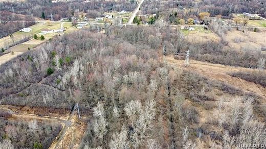
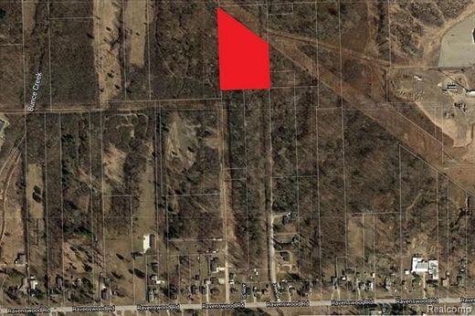
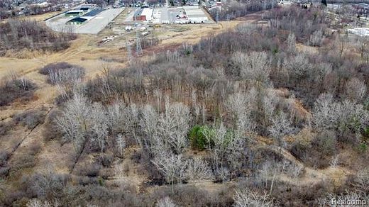
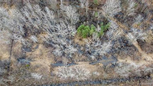
This parcel is completely landlocked and is not accessible by foot. Do not attempt to walk to the property. 3.12 Acres. BTVAI.
Directions
NORTH OF RAVENSWOOD AND EAST OF MICHIGAN ROAD
Location
- Street Address
- 39th St
- County
- Saint Clair County
- Community
- Park View
- School District
- Port Huron
- Elevation
- 604 feet
Property details
- Zoning
- Agricultural, Residential
- MLS Number
- REALCOMP 2200021113
- Date Posted
Property taxes
- Recent
- $274
Parcels
- 74-28-610-0006-000
Legal description
LOTS 21 TO 33 INCL & LOTS 103 TO 113 INCL EXC THAT PART OF LOTS 21, 22, 23, 110, 111, 112 & 113 LYING NE OF A LINE BEG S 1D 39M W 207.78' FROM NE COR LOT 115 TH N 50D 15M W 341.29' TO NW COR LOT 21 PARK VIEW AS RECORDED IN LIBER 36 OF PLATS PAGE 6, ST CLAIR COUNTY REGISTER OF DEEDS
Detailed attributes
Listing
- Type
- Land
- Franchise
- Keller Williams Realty
Listing history
| Date | Event | Price | Change | Source |
|---|---|---|---|---|
| Mar 13, 2020 | New listing | $19,000 | — | REALCOMP |
Payment calculator

Contact listing agent
By submitting, you agree to the terms of use, privacy policy, and to receive communications.