
Recreational & Residential Land for Sale in Antonito, Colorado
483 River Ranch Rd, Antonito, CO 81120
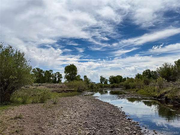
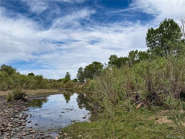
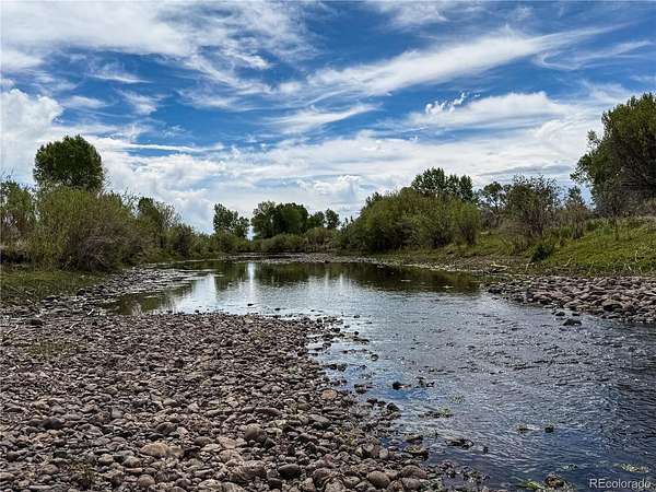
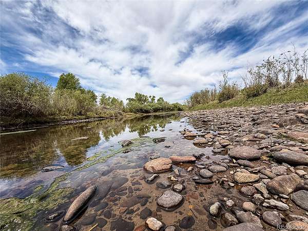
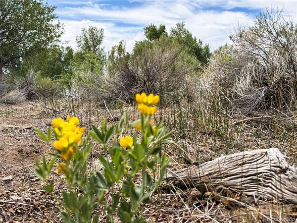
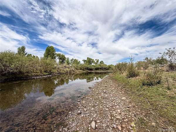
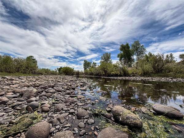
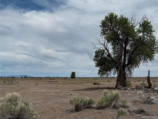
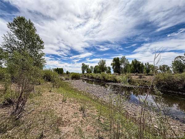
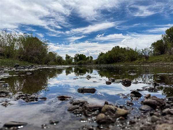
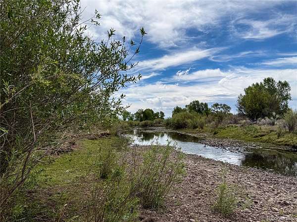
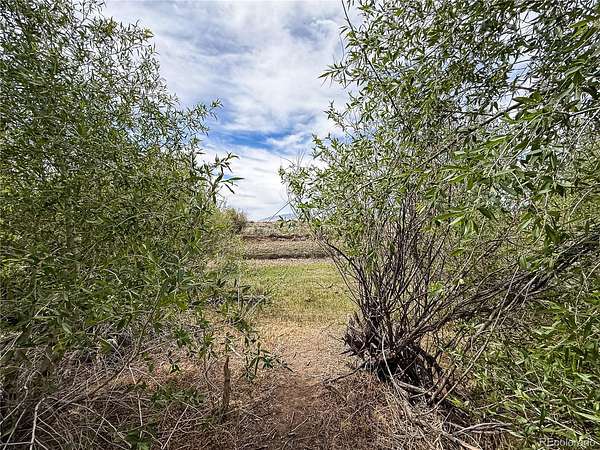
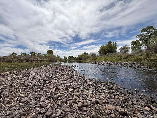
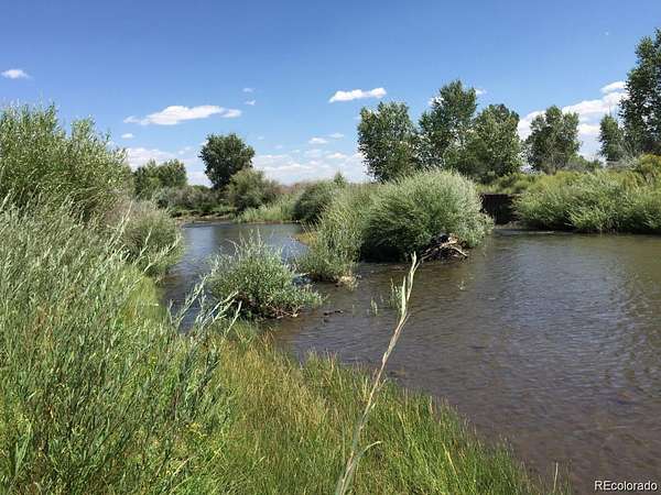
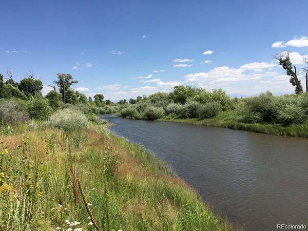
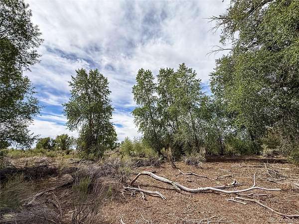
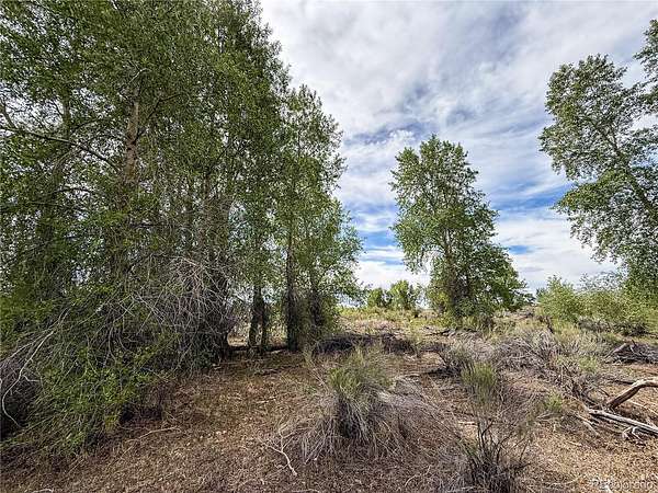
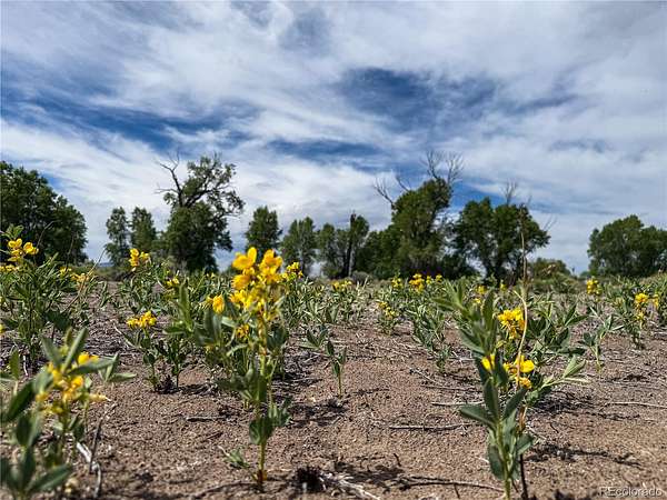
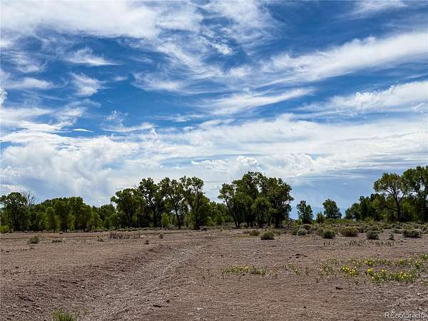
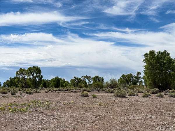
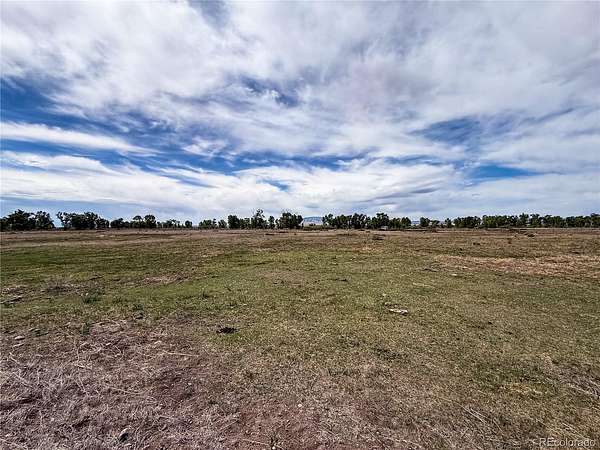
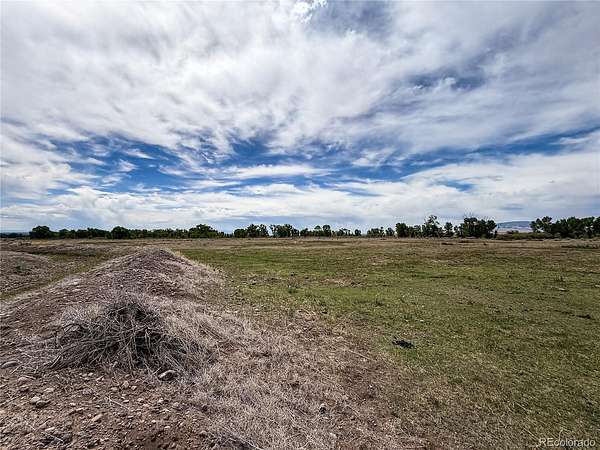
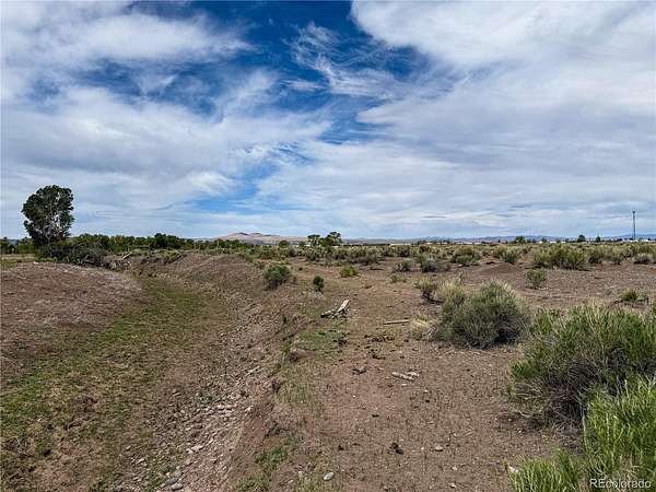
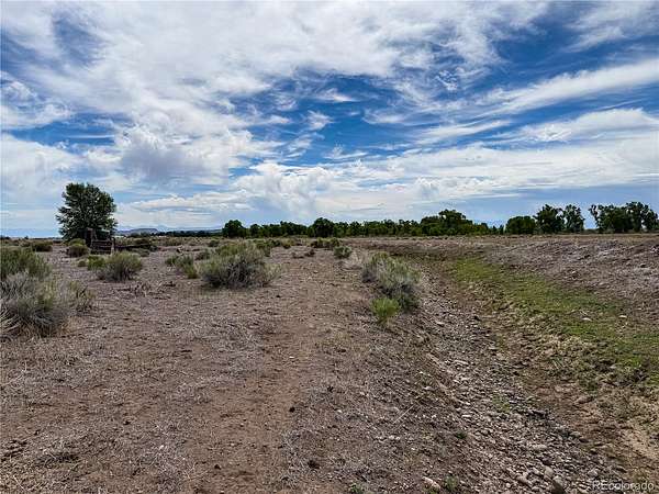
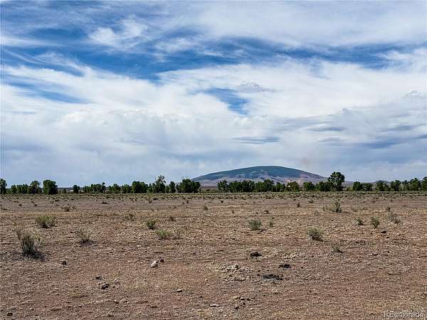
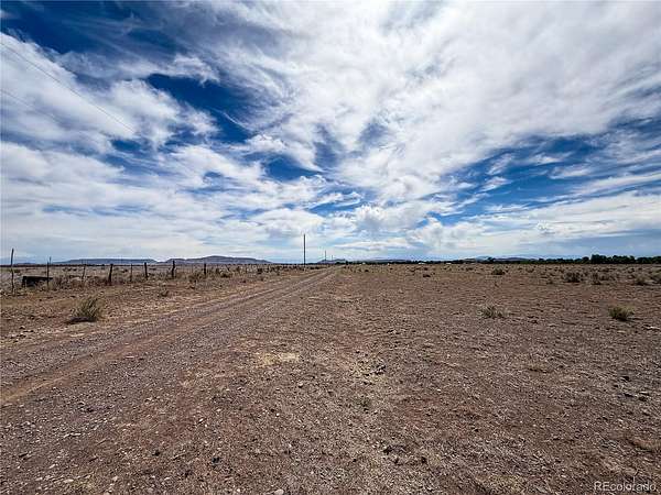
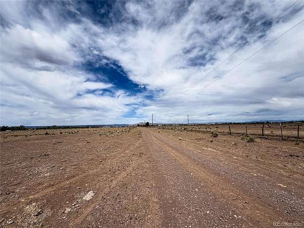
San Antonio River access on 35.04 acres near Antonito. This is avflat, usable Southern Colorado property with no HOA, private dirt-road access, an assigned address already in place, and the rare added value of having the river right there as the natural focal point of the land.
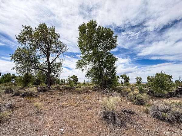
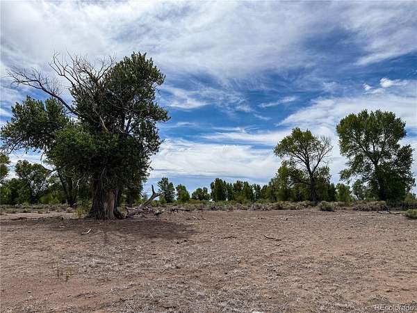
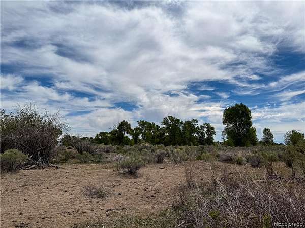
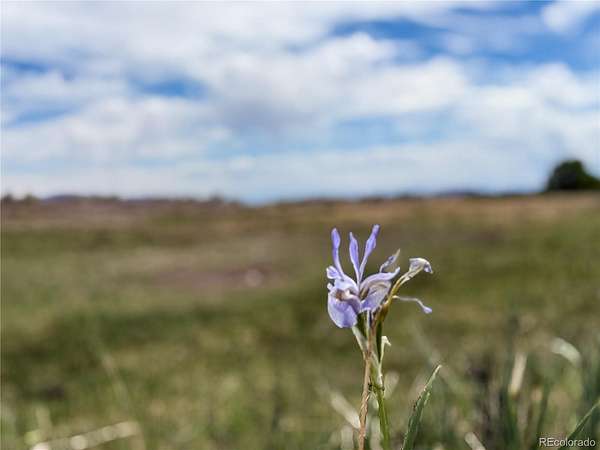
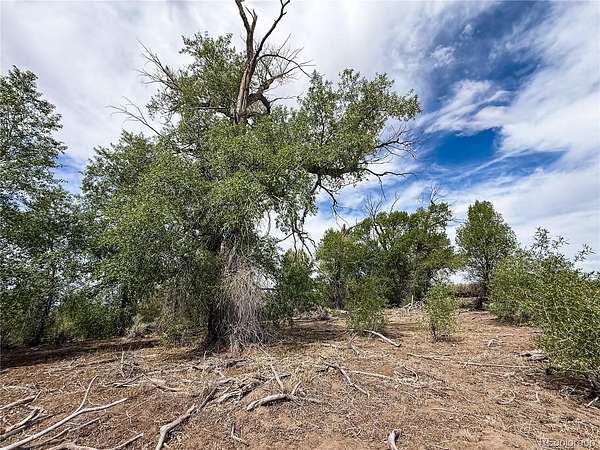
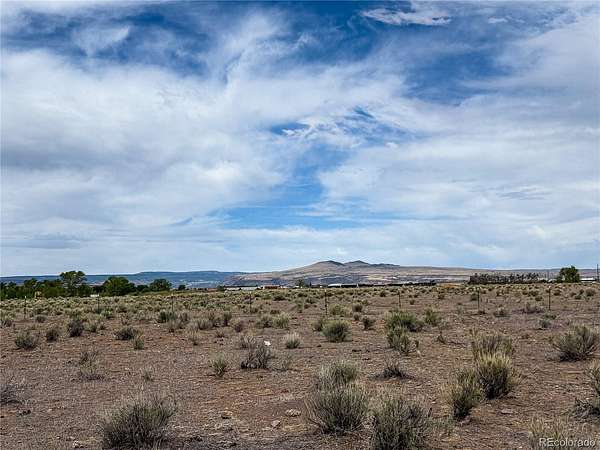
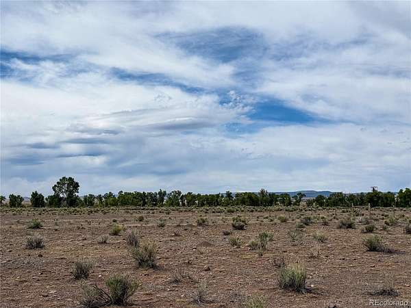
The property was recently grazed with cows and horses, giving it a practical ranch-land feel from day one. Bring the camper, bring the horses, set up a weekend basecamp, or hold it as a long-term rural property with real personality. You get open space, big valley views, gorgeous night skies, and river character that most vacant land simply does not offer.
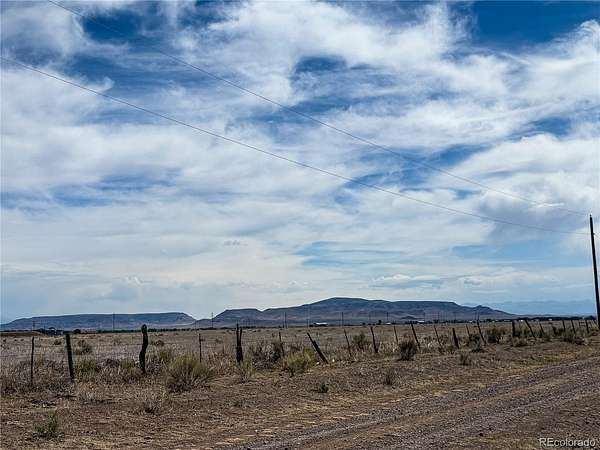
Zoned Rural Residential in Conejos County. Power is across the street, and there are no utilities currently on-site, so the next owner can plan the setup that fits their needs, including well or cistern, septic, solar as desired, and internet options such as Jade Communications, Starlink, or other available providers. Buyers should verify utility connection costs and availability directly with the providers.
Buyers should also verify access, private road maintenance, zoning, build requirements, boundaries, title, river frontage/location, floodplain status, water-related rights or restrictions, and intended use. Approximate GPS-based driving distances: 1 mile to Antonito, 2 miles to Conejos, 15 miles to La Jara, 30 miles to Alamosa, 48 miles to Chama, 62 miles to Taos, and 64 miles to Great Sand Dunes National Park. Request the parcel map, GPS coordinates, access notes, and county verification items.
- Listed by Preston Douglas, (719) 490-9047, Colorado Realty & Land Co.
Location
- Street address
- 483 River Ranch Rd
- County
- Conejos County
- Zip code
- 81120
- School district
- South Conejos RE-10
- Elevation
- 7,867 feet
Property details
- Acreage
- 35.04 acres
- Zoning
- Residential
- Access
- Private road
- MLS #
- REcolorado 4898735
- Posted
Property taxes
- 2025
- $1,469
Parcels
- 598728300167
Legal description
BENEFICIARY DEED R25001176 TR IN SW1/4 28 & NW1/4 33- 33-9 DES: COM AT NW COR SW1/4 SW1/4 28 TH S89*36'E 1149.82 FT TO POB TH S89*36'E 614.3 FT TH S05*50'E 2216.9 FT TH S89*57'W 110.13 FT TH N76*20'W 175.21 FT TH N68*21'W 266.17 FT TH N85*36'W
Details and features
Listing
- Type
- Land
- Subtype
- Unimproved Land
- Current Use
- Vacant
- Possible Use
- Livestock, Residential
- Ownership
- Individual
- Terms
- Cash, Conventional
- Exclusions
- None
Lot
- Road Frontage
- Private Road
- Road Surface
- Dirt
- Road Responsibility
- Private Maintained Road
- View
- Mountain(s), Plains, Valley, Water
- Waterfront
- River Front
- Well Type
- Not Drilled
- Well Usage
- Domestic
- Features
- Level, Meadow, Suitable For Grazing
Exterior
- Fencing
- Partial
- Horses Allowed
- Yes
Structure
- Water
- Well
Property utilities
| Category | Type | Status |
|---|---|---|
| Power | Grid | Available |
| Water | Private Well | Available |
Listing history
| Date | Event | Price | Change | Source |
|---|---|---|---|---|
| June 30, 2026 | Under contract | $99,000 | — | REcolorado |
| June 4, 2026 | New listing | $99,000 | — | REcolorado |
Payment calculator
Based on information submitted to the MLS GRID as of July 20, 2026 7:00 am MT. All data is obtained from various sources and may not have been verified by broker or MLS GRID. Supplied Open House Information is subject to change without notice. All information should be independently reviewed and verified for accuracy. Properties may or may not be listed by the office/agent presenting the information. Some IDX listings have been excluded from this website. View more