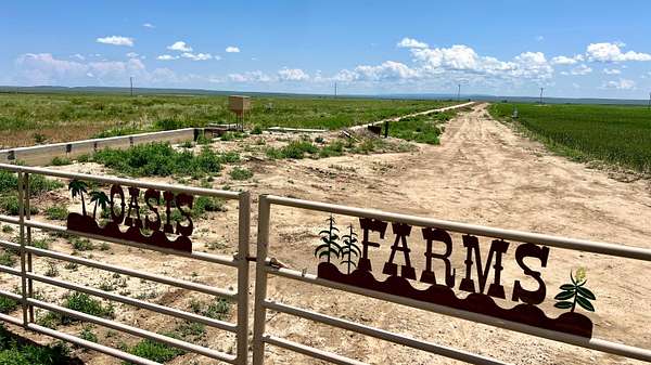
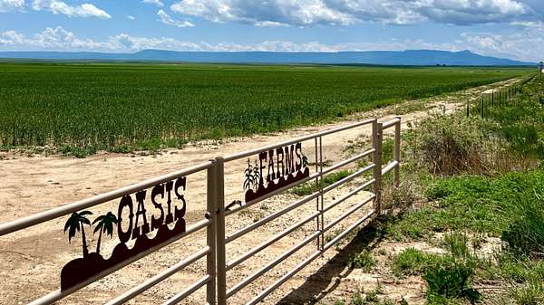
Agricultural Land for Sale in Model, Colorado
48999 County Road 48, Model, CO 81059
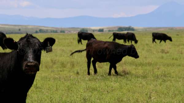
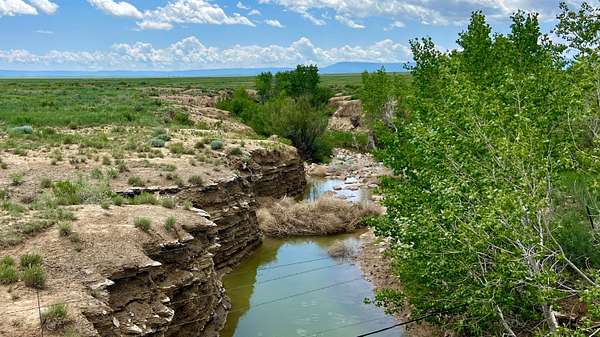
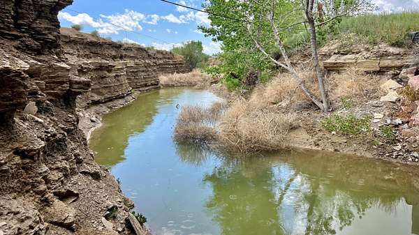
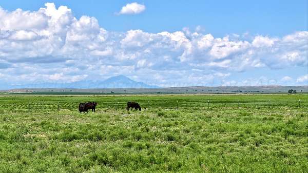
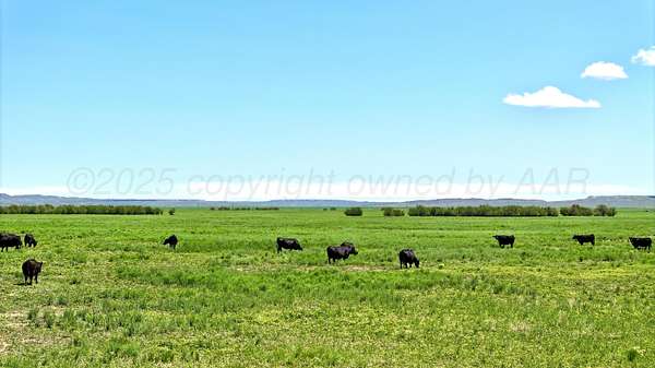
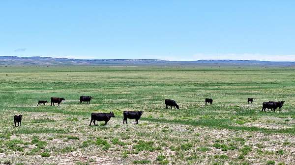
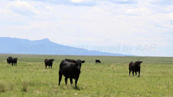
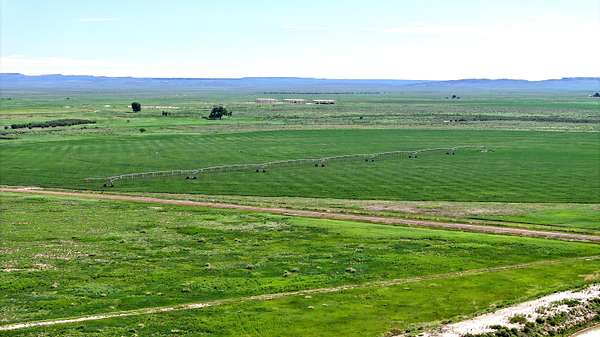
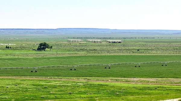
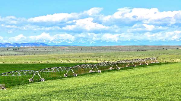
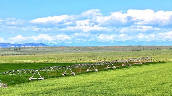
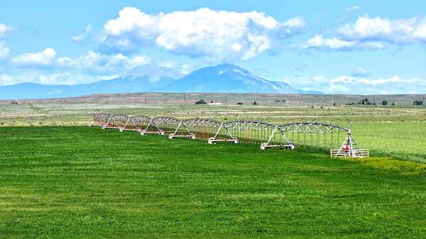
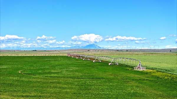
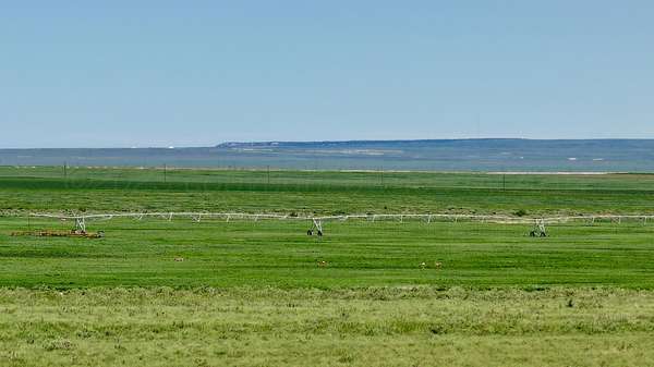
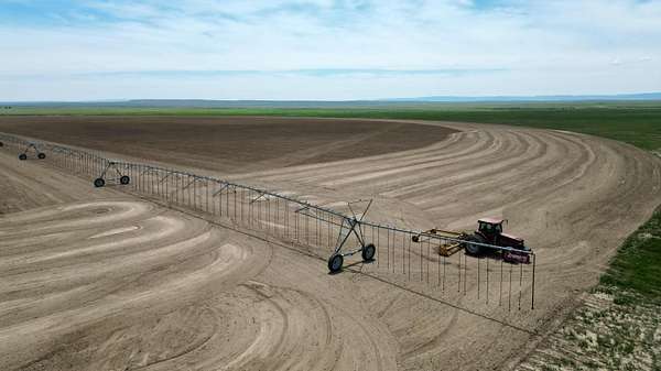
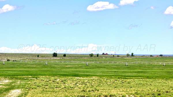
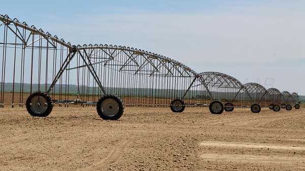
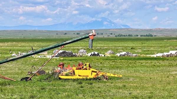
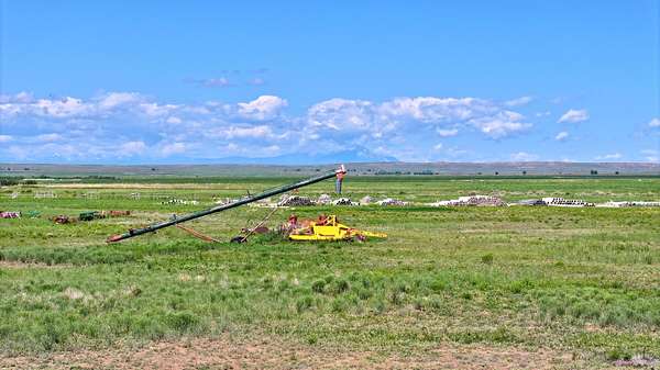
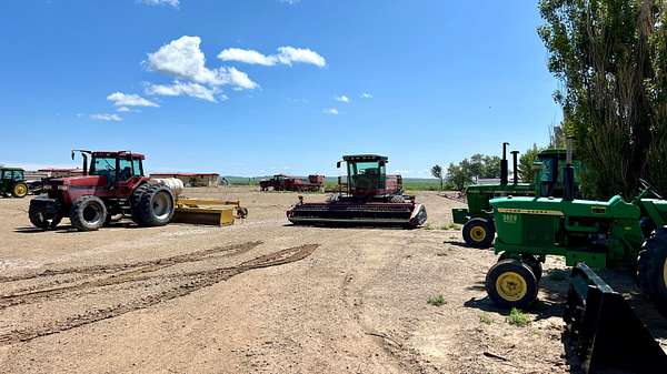
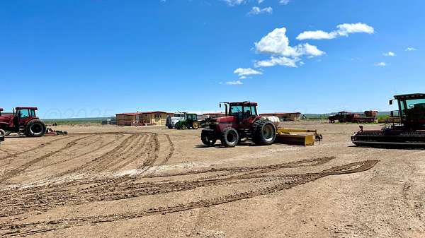
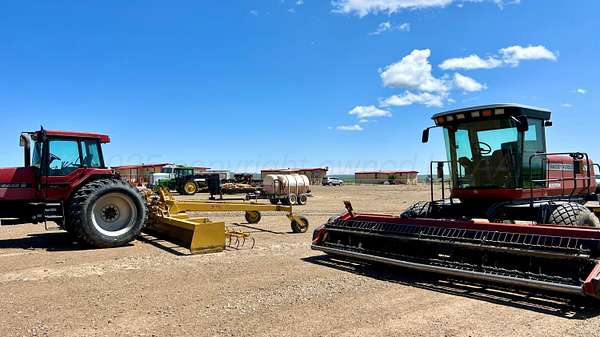
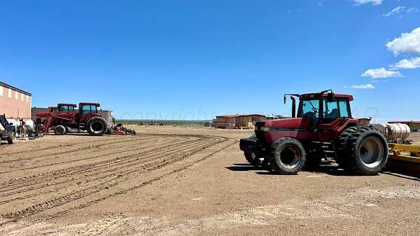
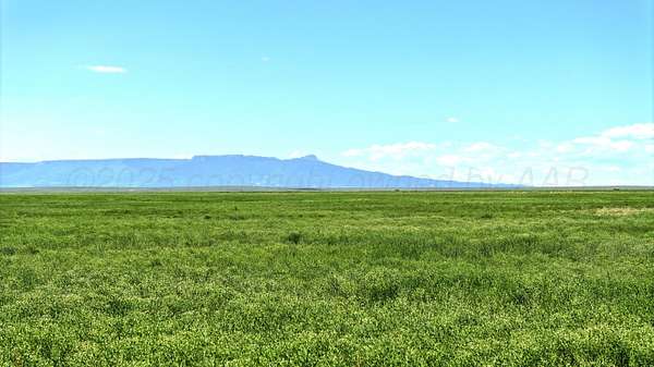
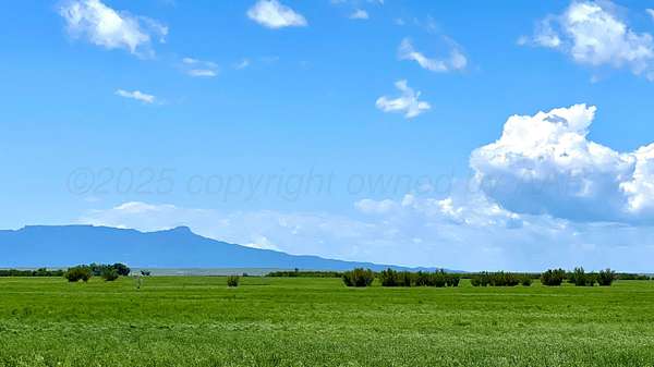
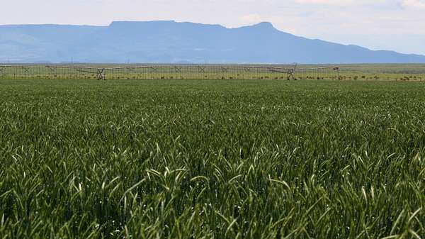
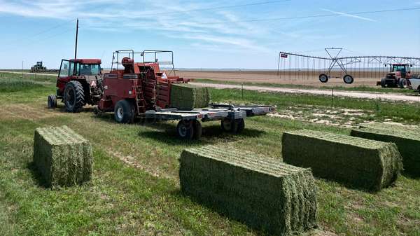
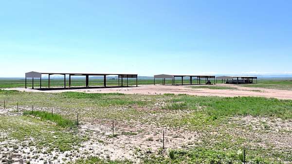
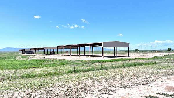
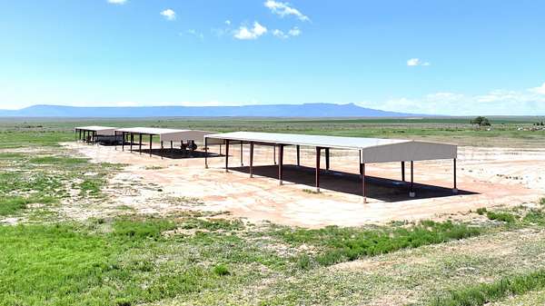
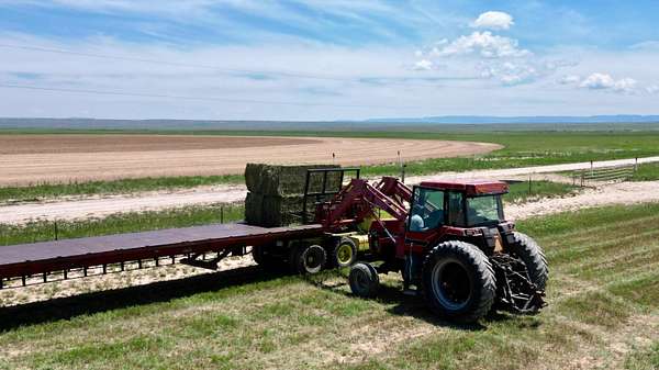
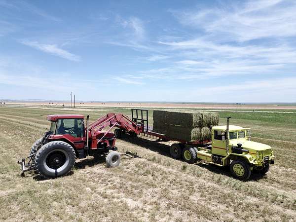
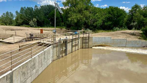
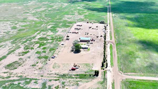
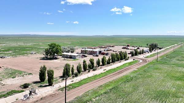
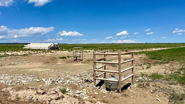
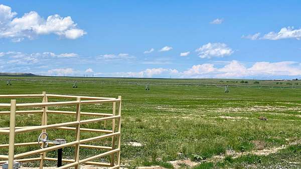
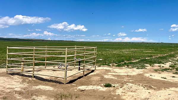
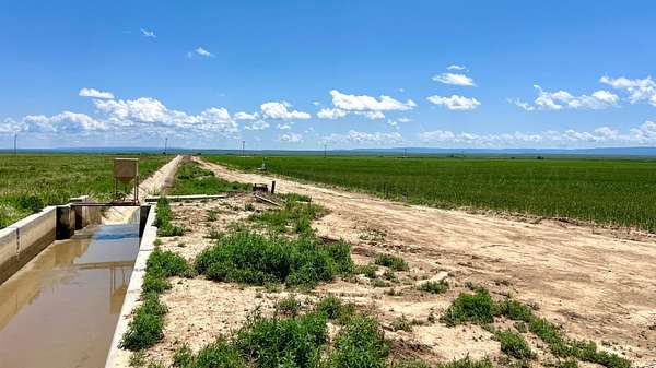
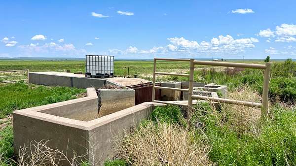
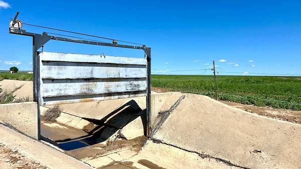
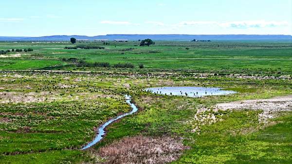
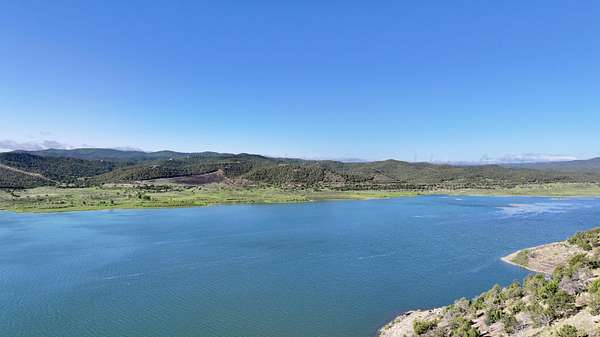
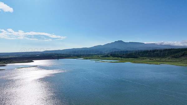
Oasis Farms consists of 10,936.58 total acres of rural agricultural irrigated farmland & native pastureland, with structural and irrigation improvements consisting of flood irrigated and center-pivot irrigated farmland. Since taking possession of this property, the current owners have spared no expense in the thoughtful planning, design, and implementation of a highly efficient irrigated farming operation capable of recycling the annual water allocation multiple times. The infrastructure, irrigation, and farming improvements have set the table for the enterprising operator to scale out lucrative cattle operations across the non-irrigated portions of the property. Working together, these systems create an ideal opportunity for the enterprising investor looking for a turnkey, all in one, farming and ranching operation. Location: 48999 CR 48, Model, Colorado. Approximately sixteen (16) to twenty-four (24) miles northeast of Trinidad, along the east side of US Highway 350, and both sides of (dirt/caliche) County Roads 48, 50, 52, 101, 105, & 107, in the central portion of Las Animas County, Colorado. Las Animas County, Colorado is currently designated as a Qualified Opportunity Zone. Legal Description Summary: Various Sections throughout Township 31 South, Range 60 West; & Township 31 South, Range 61 West; 6th P.M., Las Animas County, Colorado. (Complete and accurate legal description is pending title examination). Land Information: Size 10,936.58 total acres, of which approximately 4,947.84 acres (46%) are 'irrigable' under flood irrigation or center-pivot irrigation, with the remainder in native pastureland, improvement sites, & roads. The subject property is considered to be irregular in shape with mostly level to slightly rolling topography. Blackwell Arroyo traverses the southwestern portion of the property. Access: Property is accessed along the east side of US Highway 350, and both sides of (dirt/caliche) County Roads 48, 50, 52, 101, 105, & 107. Zoning: Agricultural Zoning District - Las Animas County. Flood Zone: According to FEMA FIRM Panel No. 08071C1400C, dated August 28, 2019, the subject property does not appear to be located in a flood hazard area. The drainage of the subject appeared to be adequate for use as agricultural land. Mineral Activity: None. Improvements: Structural: Structural improvements located at the headquarters of the property include a 1,276 SF modular home in good condition, three - 672 SF modular homes, and a 2,800 SF steel-frame shop. Additional improvements include a 1,980 SF modular home in good condition located just east of US Highway 350, and three - 7,500 SF steel-frame hay barns constructed in 2018 located just southwest of the headquarters. Irrigation: Irrigation improvements include one - 2021 model 1/4 -mile Zimmatic center-pivot system, six - 2020 model 1/4 mile Zimmatic center pivot and two 2022 model 1/4 mile Valley center-pivot systems. Site: Site improvements include a large set of wooden livestock working pens, numerous miles of concrete & dirt Model Irrigation Co. irrigation ditch, 3 70-HP VFD centrifugal water pumps, 30 miles of relatively new barb-wire fencing, 5 livestock water wells, 17 livestock water drinkers, numerous miles of underground irrigation lines, gates, pumps, etc. Utilities: Electricity, natural gas. Current Use: Agricultural land as flood/pivot irrigated farmland. Easements, Restrictions, and Encroachments: Typical utility easements are assumed to exist on the property. Additionally a natural gas pipeline right of way transects the property from the southwest to the northeast. Soils: Data from the USDA Natural Resources Conservation Service Soil Survey. The soils are listed in order of predominance on the subject property: Code Soil Description Capacity % of Subject Code WrB Wilid silty clay loam 1 to 3% slopes 23.20% 6c WyB Wilid silt loam 0 to 3% slopes 14.70% 4c MzA Manzanola silty clay loam 0 to 2% slopes 13.60% 4c Wilid Series- The Wilid series consists
Location
- Street address
- 48999 County Road 48
- County
- Las Animas County
- Elevation
- 5,522 feet
Directions
North out of Trinidad to Oasis Farms at Model, Colorado
Property details
- Acreage
- 10,937 acres
- Zoning
- 9000 - All Areas in the 9000's
- MLS #
- AAR 25-5786
- Posted
Listing history
| Date | Event | Price | Change | Source |
|---|---|---|---|---|
| Apr 23, 2026 | Price drop | $17,000,000 | $3,000,000 -15% | AAR |
| June 27, 2025 | New listing | $20,000,000 | — | AAR |