Commercial Land for Sale in Mattaponi, Virginia
6139 Lewis B Puller Memorial Hwy Mattaponi, VA 23110
Images
Map
Street


$325,000
7.15 acres
Active sale agoEst $2,563/mo
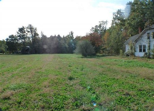
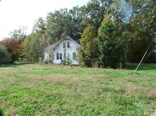
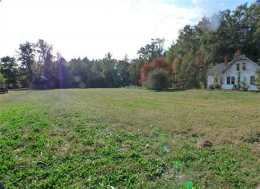
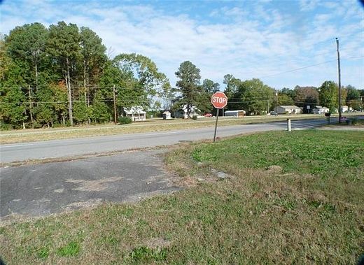
7.147 acres zoned General Business and Agricultural divided into six parcels, turning lane and VDOT required entrance with curbing has been installed, two 4-BR septic systems have been installed. 222+/- feet of road frontage. The front parcel contains two acres and is zoned General Business. The rear five parcels are zoned Agricultural. The site was once fully approved for a 7,200 sf store. Average Annual Weekday traffic as of VDOT 2020 is 13,000.
Directions
From West Point, take Rt. 33 East to K&Q Co., the land is on the right (east bound lane of Rt. 33) 1+/- mile from the bridge
Location
- Street Address
- 6139 Lewis B Puller Memorial Hwy
- County
- King and Queen County
- Elevation
- 36 feet
Property details
- Zoning
- GB & Agr.
- MLS Number
- CBRAR 2303000
- Date Posted
Parcels
- 133A
- 133B
- 133C
- 133D
- 133E
- 23-165X-133
Legal description
Dudleys Ferry Lots 1, 3, 4, 5, 7, 8
Listing history
| Date | Event | Price | Change | Source |
|---|---|---|---|---|
| Feb 8, 2023 | New listing | $325,000 | — | CBRAR |
Payment calculator
Contact listing agent
By submitting, you agree to the terms of use, privacy policy, and to receive communications.