Skip to main content
Skip to navigation
Properties
Find agent
Post listing
Log in
•
Sign up
Search here
List
Pendleton, OR land for sale
Price
Size
Tags
Save
5 properties
Updated
For you
Newest
Price: high to low
Price: low to high
Size: large to small
Size: small to large
Updated
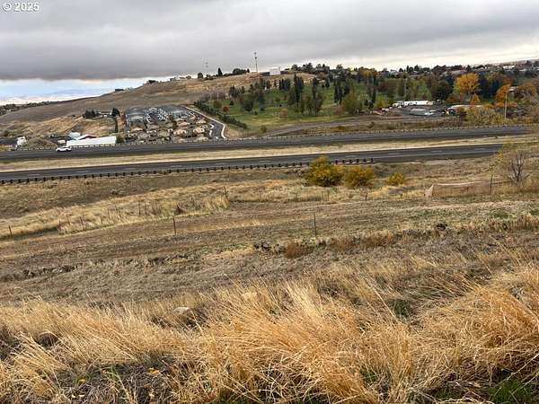
$10k drop • Dec 11
$50,000
Umatilla County
Pendleton, OR 97801
2 years ago
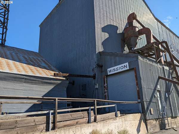
$575,000
4 acres
Umatilla County
6,000 sq ft
Mission, OR 97801
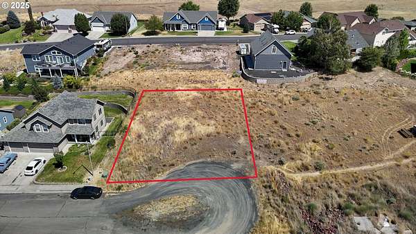
$10.1k drop • Oct 8
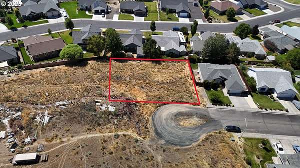
$49,900
0.18 acres
Umatilla County
Pendleton, OR 97801
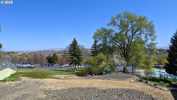
46 days ago
$50,000
0.19 acres
Umatilla County
Pendleton, OR 97801
$10.1k drop • Oct 8
$69,900
0.29 acres
Umatilla County
Pendleton, OR 97801
Map