Land for Sale in Mount Gilead, Ohio
7326 State Route 19 Mount Gilead, OH 43338
Images
Map
Street
$9,500
0.25 acres
Active sale agoEst $83/mo
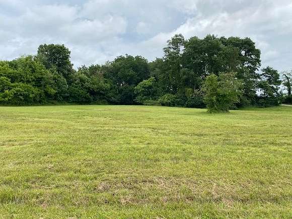
Level lot. Open, without trees. CWL wooded green space at back. Excellent building site.
Directions
Main Gate to Candlewood Blvd to Candlewood Drive to Minarette
Property details
- County
- Morrow County
- Elevation
- 1,253 feet
- MLS Number
- MBOR 9060735
- Date Posted
Parcels
- E13-008G005400
Listing history
| Date | Event | Price | Change | Source |
|---|---|---|---|---|
| May 22, 2024 | New listing | $9,500 | — | MBOR |
Payment calculator
Contact listing agent
By submitting, you agree to the terms of use, privacy policy, and to receive communications.