Commercial Land for Sale in Lamar, Colorado
7350 Us Highway 50, Lamar, CO 81052
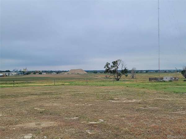
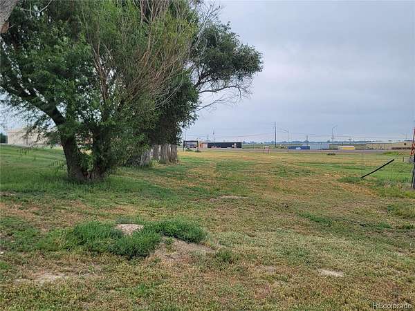
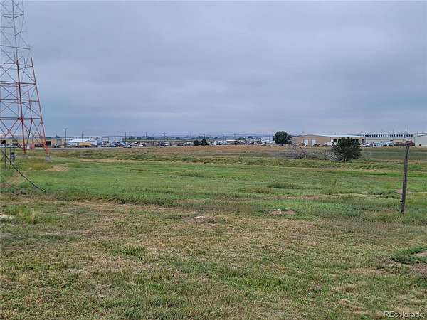
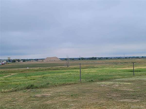
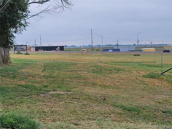
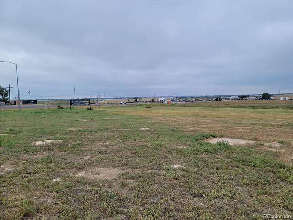
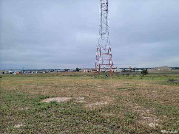
Attention Land Developers. This property is situated ½ mile north of Lamar along the Southern curve of US Highway 50 and US Highway 287. The highway system through the City of Lamar is designated The Ports to Plains Highway offering a direct traffic/transportation route that daily brings freight from the southern and eastern US all the way through to Denver, CO, Salt Lake City, UT, Cheyenne, WY, and on to Canada and the Washington/Oregon region. The property has optimal exposure to highway traffic with access off the highway. The property is near other commercial and industrial amenities. Lamar is a pro-business community and will offer incentives for outside companies. Ample labor force is available for commercial and manufacturing needs. Property Feature: • Vacant Site of 12.24 Acres • Future Annexation of the Property into the City of Lamar, Annexation will Include: City Utilities * City Protection Services • Site can be potentially subdivided for greater site improvements • Currently Zoned Commercial Highway • Ease of Highway Access • Excellent Highway Frontage • Iconic KLMR Radio Tower • The current building will be removed.
- Listed by Sharon Wilson, (719) 688-2925, Wilson Realty
Location
- Street address
- 7350 Us Highway 50
- County
- Prowers County
- Zip code
- 81052
- School district
- Lamar RE-2
- Elevation
- 3,628 feet
Directions
From Main Street in Lamar, Go North to the property.
Property details
- Acreage
- 12.24 acres
- Zoning
- Commercial
- MLS #
- REcolorado 7630398
- Posted
Property taxes
- 2024
- $384
Parcels
- 0900034392
Legal description
A TRACT OF LAND IN INDIAN CLAIM NO. 26 MORE PARTICULARLY DESCRIBED AS FOLLOWS:
BEGINNING AT A POINT 2,767.6 FEET SOUTH 64°15' WEST OF THE NORTHEAST CORNER OF INDIAN CLAIM NUMBER 26 IN SECTION 19, TOWNSHIP 22 SOUTH, RANGE 46 WEST OF THE SIXTH PRINCIPAL MERIDIAN; THENCE SOUTH 81°50' WEST A DISTANCE OF 575.9 FEET TO A POINT; THENCE SOUTH 72°44' WEST A DISTANCE OF 880.0 FEET TO A POINT; THENCE NORTH 692.32 FEET TO A POINT; THENCE NORTH 78°15' EAST A DISTANCE OF 544.69 FEET TO A POINT; THENCE SOUTHEASTERLY ALONG AN ARC, ON THE LEFT OF ITS CHORD WHICH BEARS SOUTH 62°09' EAST 1,076.4 FEET, RADIUS OF SAID ARC BEING 778.5 FEET, LENGTH OF SAID CHORD BEING 992.63 FEET, CENTRAL ANGLE OF SAID 1,076.4 FEET ARC BEING 79°13' TO THE POINT OF BEGINNING, EXCEPT A TRACT DEEDED TO THE DEPARTMENT OF HIGHWAYS IN DEED RECORDED IN BOOK 469, AT PAGE 287 AND EXCEPT TRACT DEEDED TO THE DEPARTMENT OF HIGHWAYS IN DEED RECORDED IN BOOK 523, AT PAGE 905, COUNTY OF PROWERS, STATE OF COLORADO.
Details and features
Listing
- Type
- Land
- Subtype
- Improved Land
- Current Use
- Commercial
- Possible Use
- Industrial, Leased, Multi-Family, Office, Residential
- Ownership
- Corporation/Trust
- Terms
- Cash, Conventional
- Exclusions
- Seller's and Tenant's Personal Property, May Valley Water Tap, 2 Storage Boxes, Generator, Propane Tank, City of Lamar Welcome Sign and Solar Equipment.
- Possession
- Immediate
Lot
- Well Type
- Community
- Survey
- Boundaries Surveyed
Exterior
- Parking Spaces
- 15
- Parking
- Asphalt
Structure
- Electric
- 220 Volts
- Sewer
- Community Sewer
Property utilities
| Category | Type | Status |
|---|---|---|
| Power | Grid | Available |
| Gas | Natural Gas | Available |
| Sewage | Sewer | Available |
Listing history
| Date | Event | Price | Change | Source |
|---|---|---|---|---|
| Apr 13, 2026 | New listing | $1,500,000 | — | PAR |
Payment calculator

Based on information submitted to the MLS GRID as of Aug 29, 2026 9:00 pm MT. All data is obtained from various sources and may not have been verified by broker or MLS GRID. Supplied Open House Information is subject to change without notice. All information should be independently reviewed and verified for accuracy. Properties may or may not be listed by the office/agent presenting the information. Some IDX listings have been excluded from this website. View more