Land for Sale in Calico Rock, Arkansas
859 County Road 249, Calico Rock, AR 72519
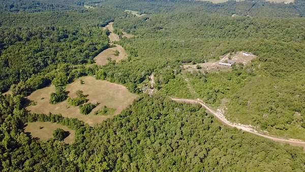
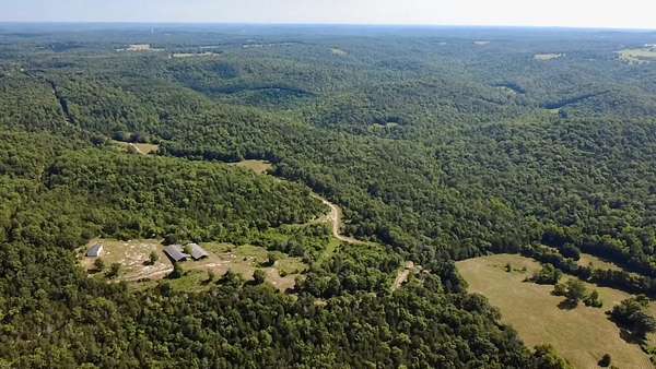
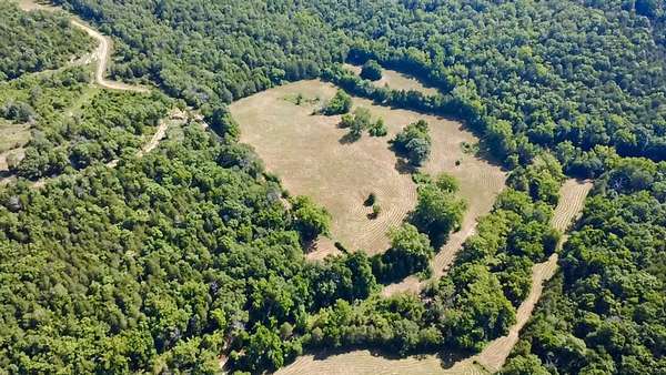
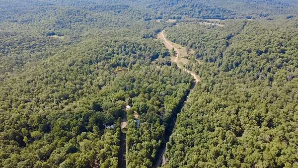
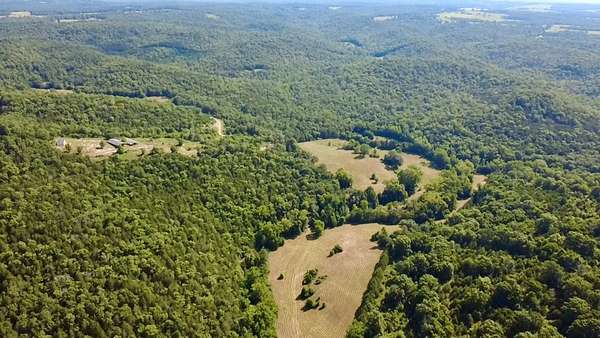
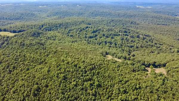
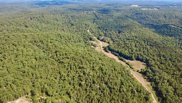
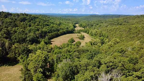
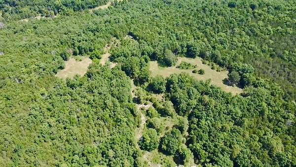
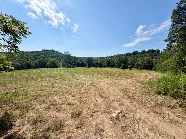
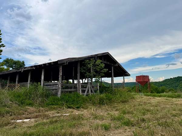
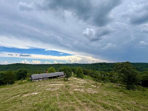
Here's an opportunity to own something you don't come across every day - 480 acres in Baxter County, Arkansas with the kind of features that make a property worth holding onto for generations.
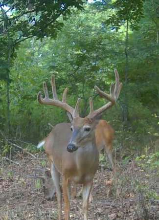
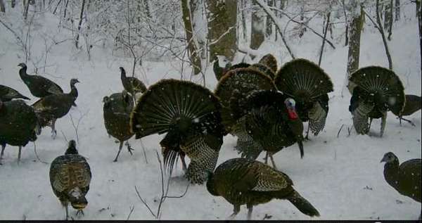
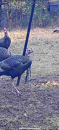
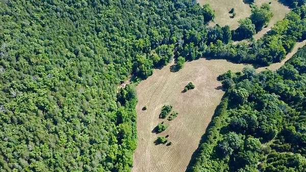
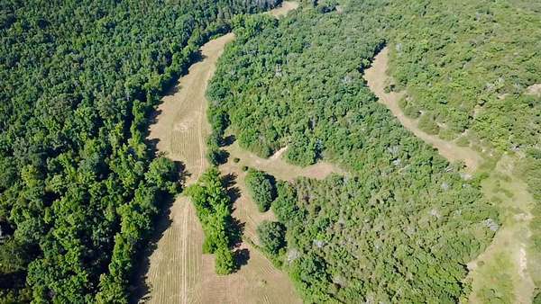
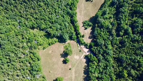
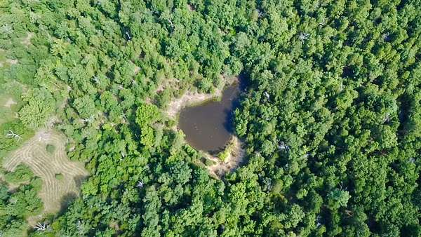
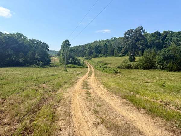
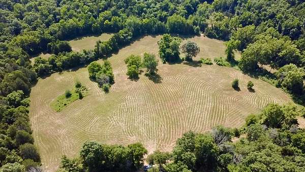
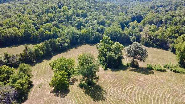
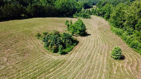
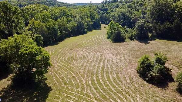
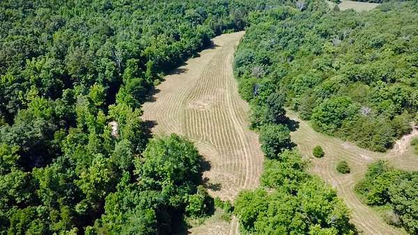
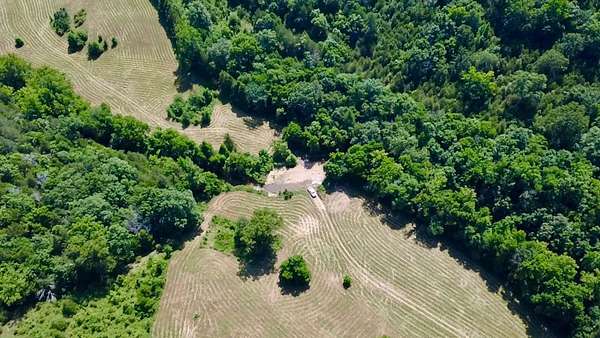
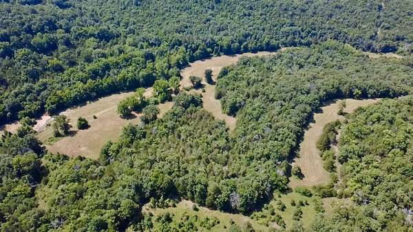
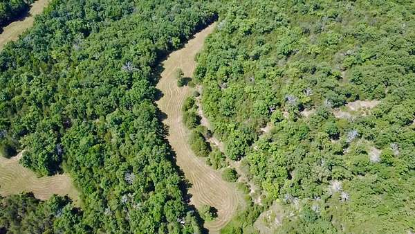
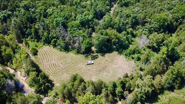
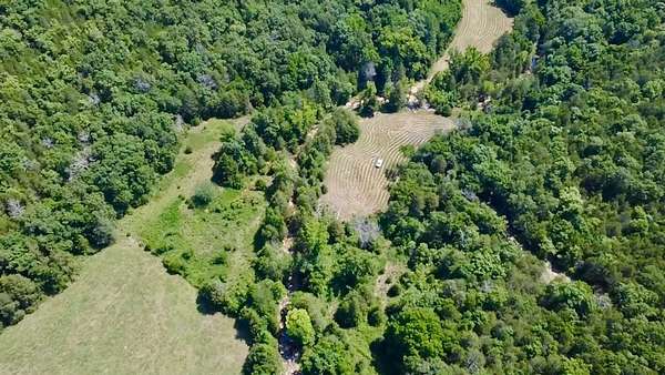
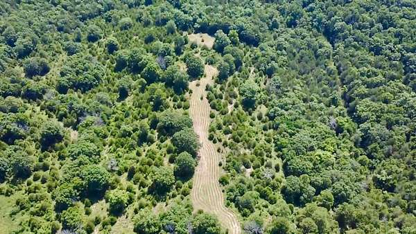
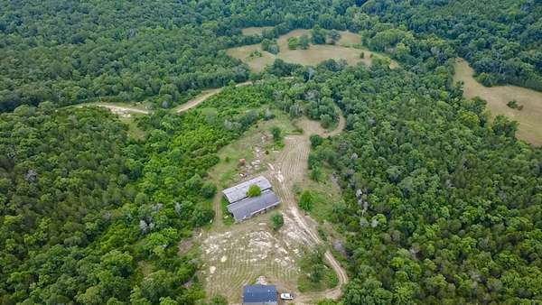
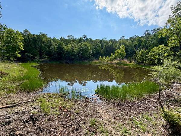
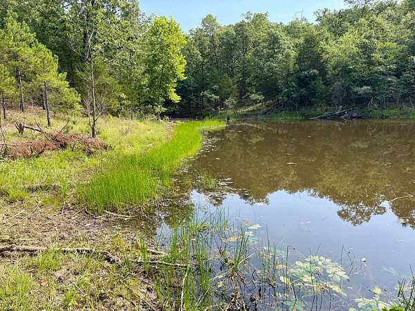
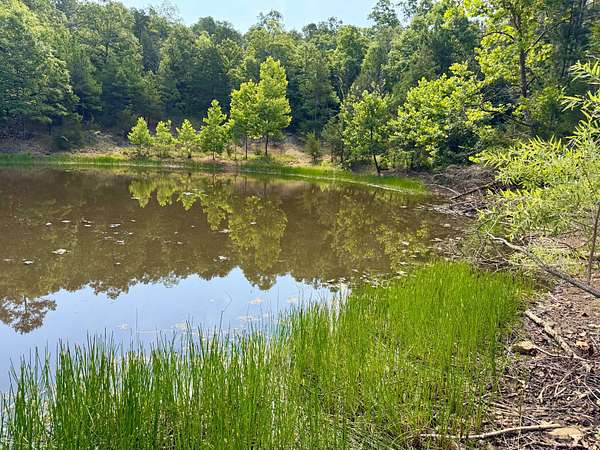
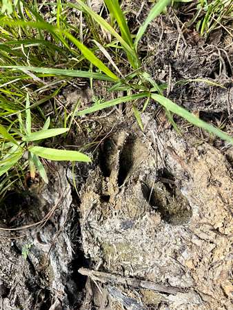
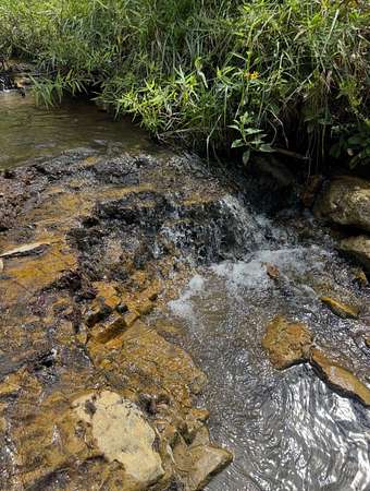
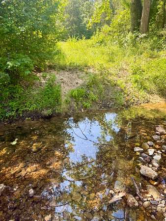
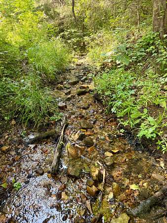
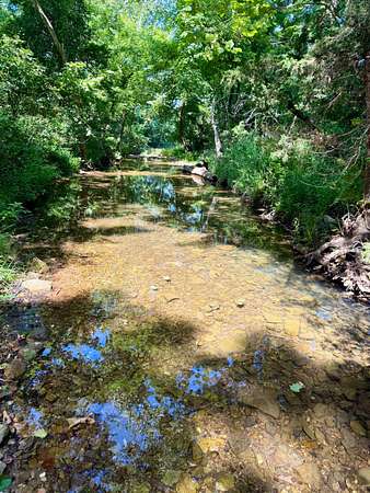
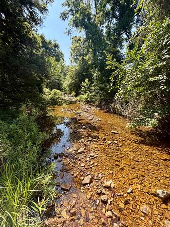
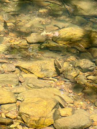
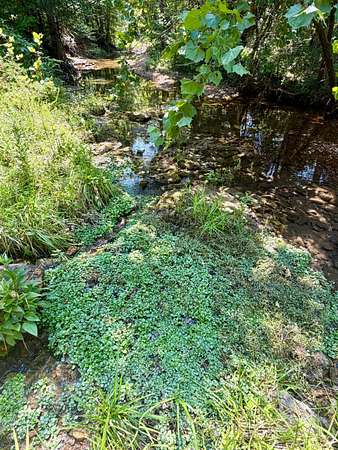
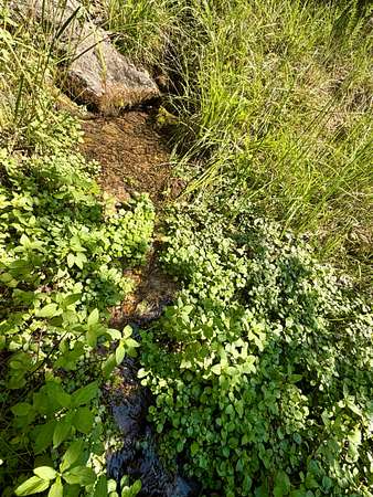
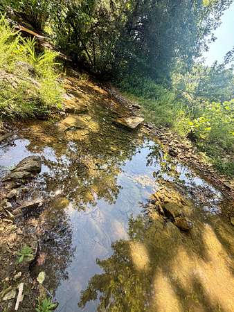
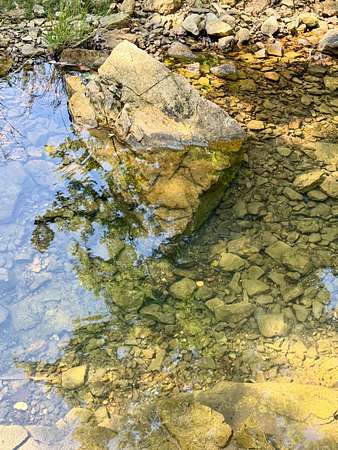
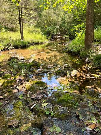
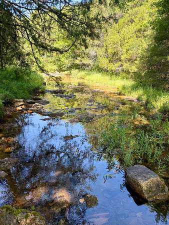
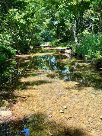
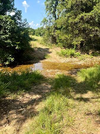
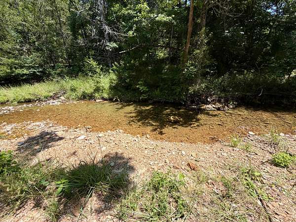
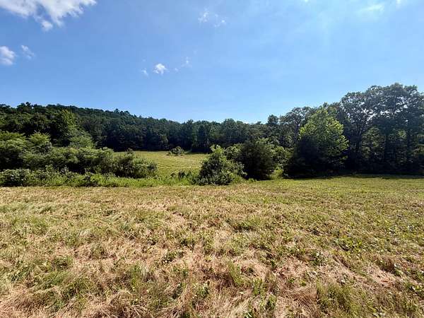
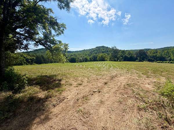
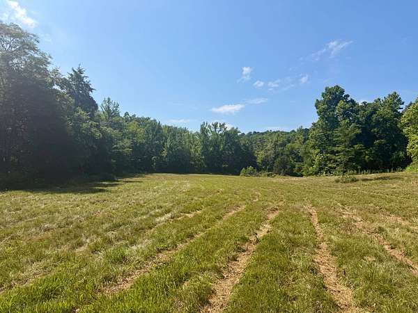
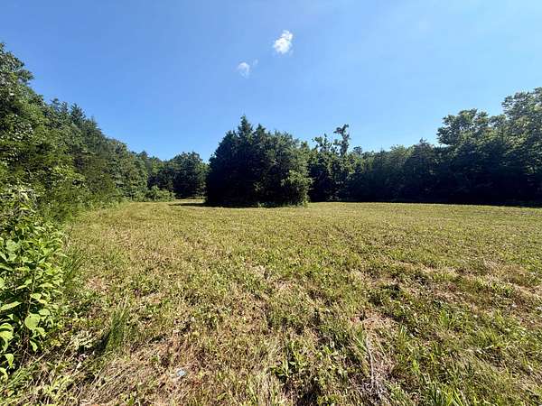
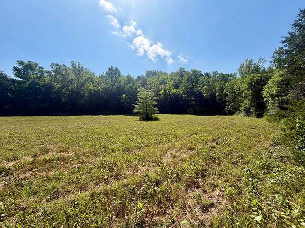
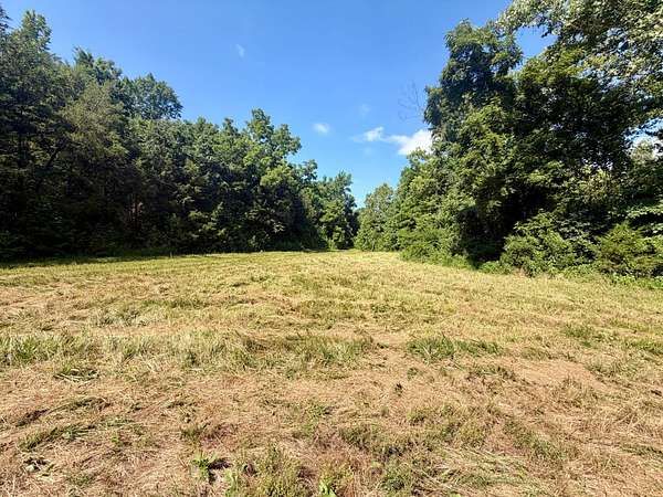
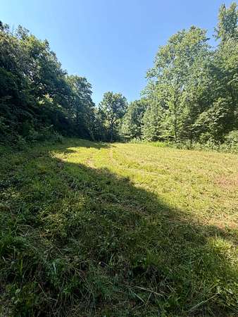
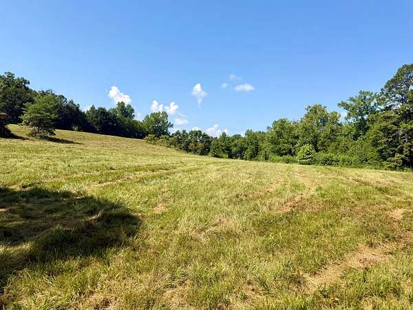
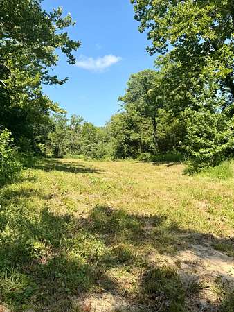
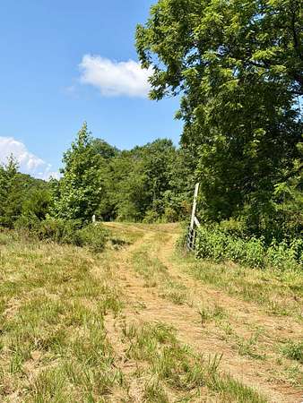
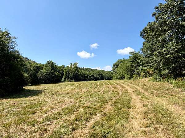
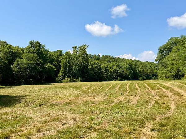
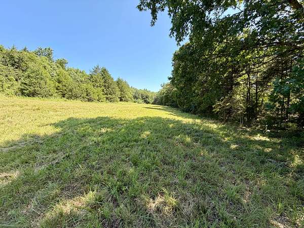
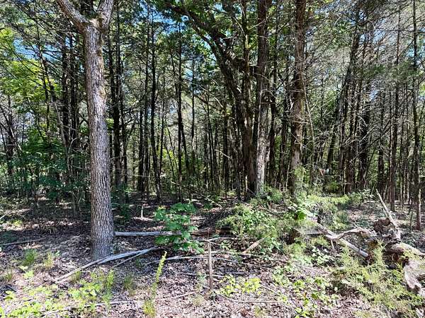
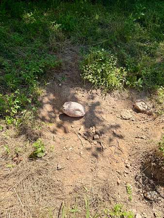
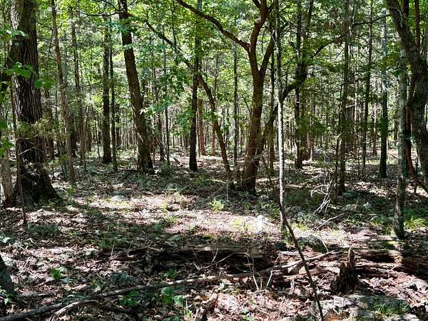
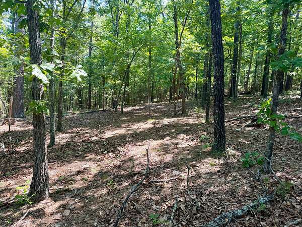
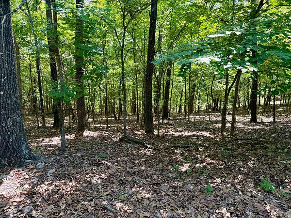
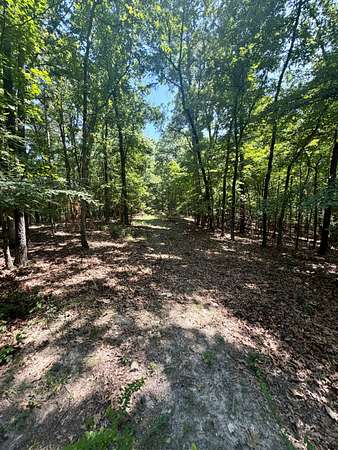
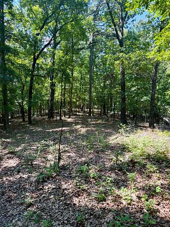
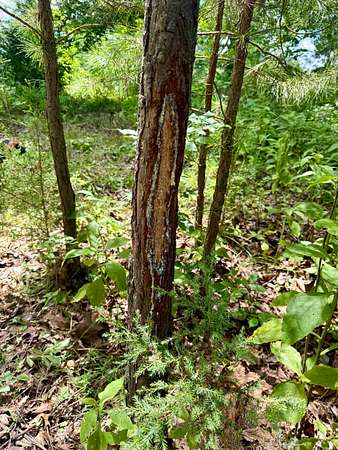
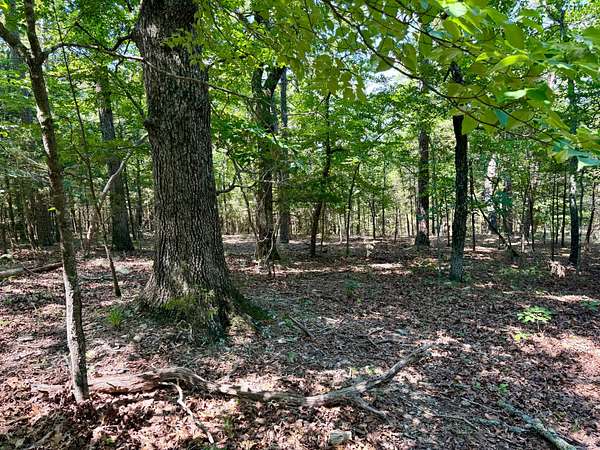
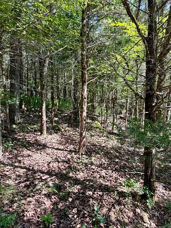
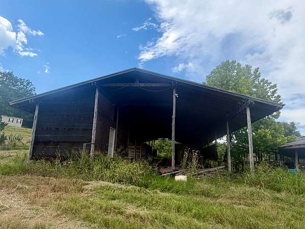
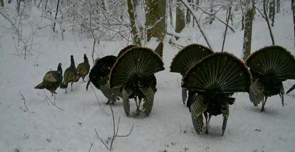
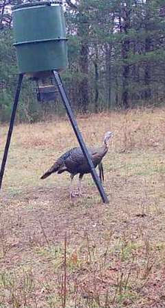
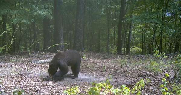
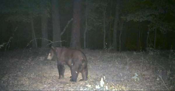
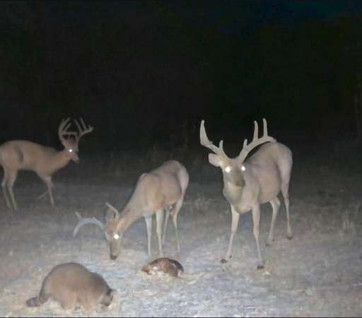
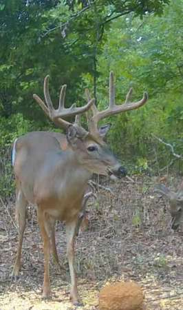
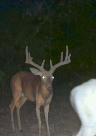
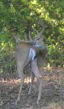
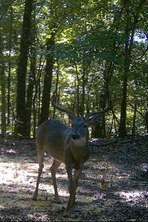
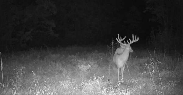
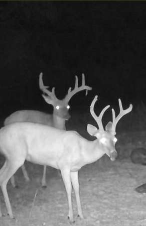
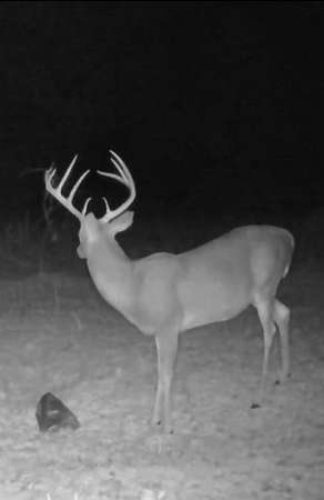
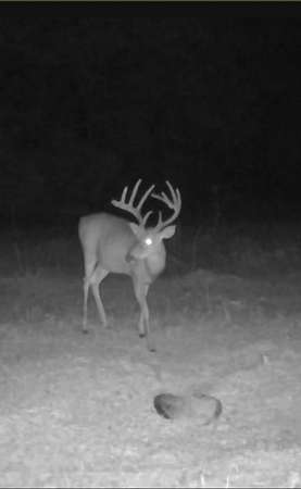
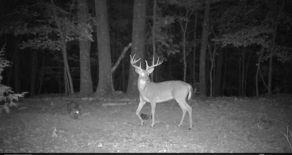
The property offers a creek fed by two natural springs, a pond, and multiple pastures, giving you a great mix of open ground and natural habitat. There have been established food plots throughout the property from previous years, and the hunting has been proven with quality deer and turkey using the property year after year. Multiple bearded gobblers have been seen as well as a 4-bearded gobbler harvested from previous years.
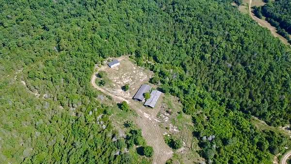
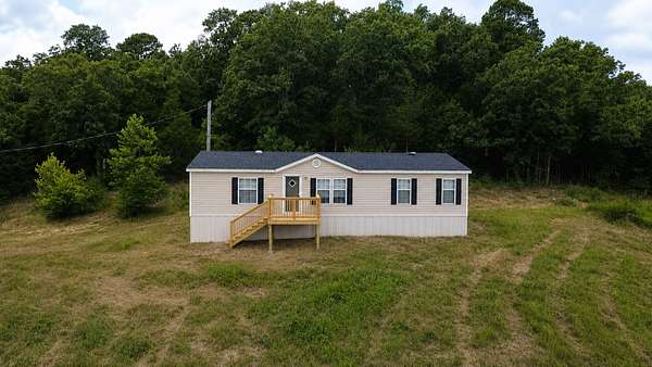
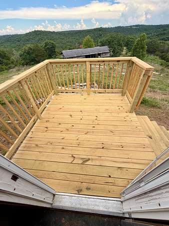
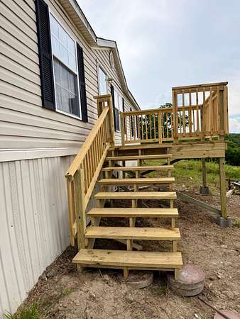
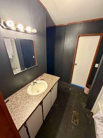
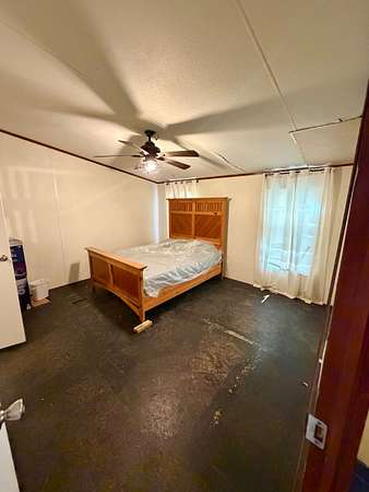
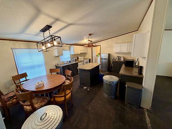
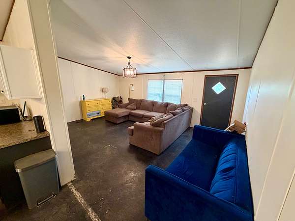
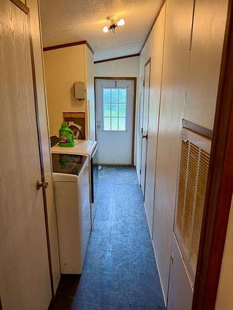
A trailer also conveys with the property at no additional cost. It provides a place to stay while you're on the property and already has well water and electric available on site, making it convenient to enjoy the land without starting from scratch.
Whether you're looking for a serious hunting property, a place for cattle and livestock, a weekend getaway, or simply a piece of Arkansas you can pass down to your kids and grandkids, this property has the ingredients to be much more than just another piece of land.
480 acres. Water. Pasture. Wildlife. Hunting. And room to build a legacy.
Properties like this don't come around often, and this is the kind of place where memories can be made for generations to come.
Location
- Street address
- 859 County Road 249
- County
- Baxter County
- Zip code
- 72519
- Elevation
- 644 feet
Property details
- Acreage
- 480 acres
- Posted
Property taxes
- Recent
- $1,225
Legal description
E1/2 OF THE NE1/4 AND THE E1/2 OF THE SE1/4 OF SECTION 31, TOWNSHIP 18 NORTH, RANGE 11 WEST. ALSO: GRANTOR GRANTS AND RESERVES AND EASEMENT OVER AND ACROSS THE FOLLOWING: A 40 FOOT WIDE EASEMENT FOR ACCESS AND UTILITIES ACROSS THE NE1/4 NE1/4 OF SECTION 36, TOWNSHIP 18 NORTH, RANGE 12 WEST AND THE NW1/4 NW1/4; NE1/4 NW1/4; NW1/4 NE1/4; AND SW1/4 NE1/4 OF SECTION 31, TOWNSHIP 18 NORTH, RANGE 11 WEST, BAXTER COUNTY, ARKANSAS, THE CENTERLINE OF WHICH IS DESCRIBED AS FOLLOWS: FROM A POINT ON THE WEST BOUNDARY OF THE NE1/4 NE1/4 OF SECTION 36, TOWNSHIP 18 NORTH, RANGE 12 WEST, BAXTER COUNTY, ARKANSAS 742.00 FEET SOUTH 01°27'45" WEST OF THE CORNER TO SECTIONS 25 AND 36 ON THE RANGE LINE, THE POINT OF BEGINNING OF THE CENTERLINE BEING DESCRIBED: THEN GO NORTH 58°49'32" EAST 62.60 FEET; NORTH 37°41'49" EAST 377.56; NORTH 73°11'13" EAST 436.34 FEET; NORTH 57°34'43" EAST 277.53 FEET; NORTH 80°11'31" EAST 98.11 FEET; SOUTH 78°31'24" EAST 111.83 FEET; SOUTH 67°51'19" EAST 123.85 FEET; SOUTH 81°29'08" EAST 92.47 FEET; NORTH 89°05'47" EAST 97.10 FEET; NORTH 80°39'20" EAST 167.03 FEET; NORTH 87°40'18" EAST 772.68 FEET; SOUTH 40°58'02" EAST 36.80 FEET; SOUTH 03°13'21" WEST 78.31 FEET; SOUTH 02°03'52" EAST 102.74 FEET; SOUTH 06°41'04" EAST 272.18 FEET; SOUTH 18°56'54" EAST 103.35 FEET; SOUTH 83°05'21" EAST 239.00 FEET; SOUTH 84°15'42" EAST 153.71 FEET; NORTH 89°57'49" EAST 234.29 FEET; SOUTH 74°23'23" EAST 166.13 FEET; SOUTH 43°40'3Q0" EAST 222.39 FEET; SOUTH 27°13'03" EAST 107.27 FEET; SOUTH 87°54'15" EAST 66.72 FEET: NORTH 32°25'28" EAST 71.18 FEET; NORTH 10°08'57" EAST 75.37 FEET; SOUTH 58°05'25" EAST 86.60 FEET; SOUTH 19°83'35" EAST 135.31 FEET; SOUTH 83°37'48" EAST 52.18 FEET; NORTH 75°61'56" EAST 135.22 FEET; NORTH 64°10'13" EAST 76.37 FEET; SOUTH 54°31'17" EAST 67.30 FEET; SOUTH 41°20'30" EAST 59.75 FEET; SOUTH 61°27'07" EAST 113.08 FEET; SOUTH 24°53'14" EAST 1654.03 FEET; NORTH 72°51'01" EAST 482.42 FEET TO THE TERMINUS OF THE CENTERLINE BEING DESCRIBED, A POINT ON THE WEST BOUNDARY OF THE SE1/4 NE1/4 OF SECTION 31, TOWNSHIP 18 NORTH, RANGE 11 WEST, 277.34 FEET NORTH 00°19'50" EAST OF THE CENTER EAST ONE-SIXTEENTH CORNER OF SAID SECTION 31.
Resources
Listing history
| Date | Event | Price | Change | Source |
|---|---|---|---|---|
| Aug 27, 2026 | New listing | $1,320,000 | — | Listing agent |