Residential Land for Sale in Carson, New Mexico
92 Cuatro Ruedas Dr, Carson, NM 87549
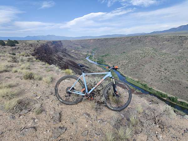
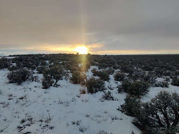
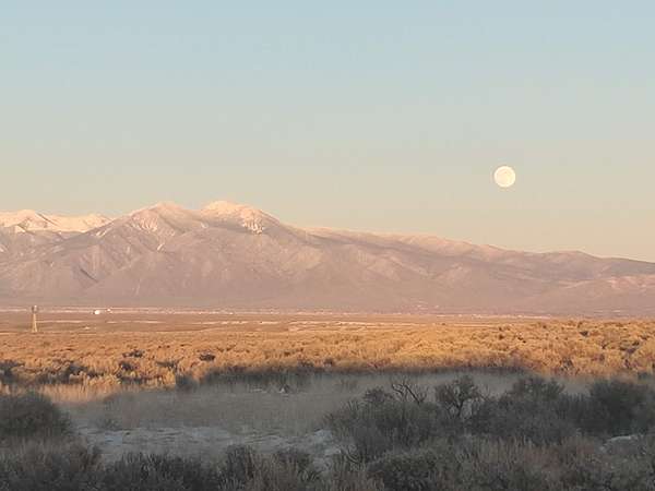
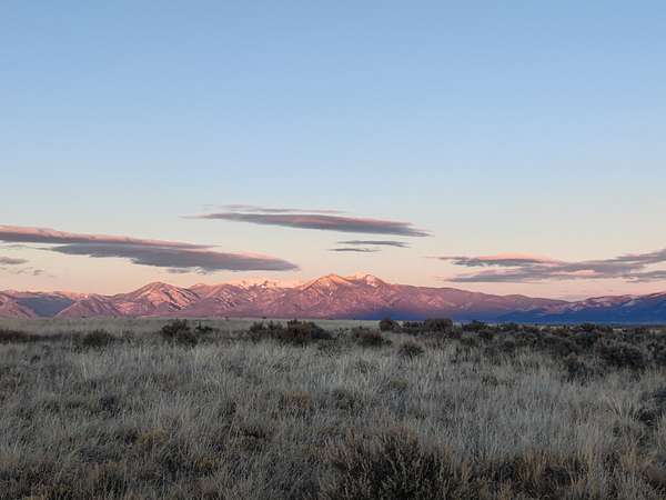
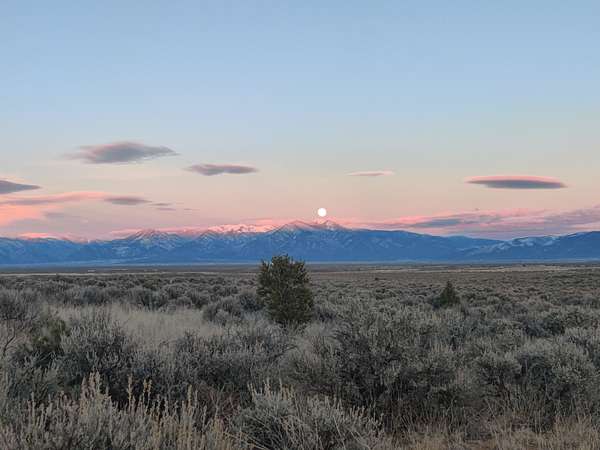
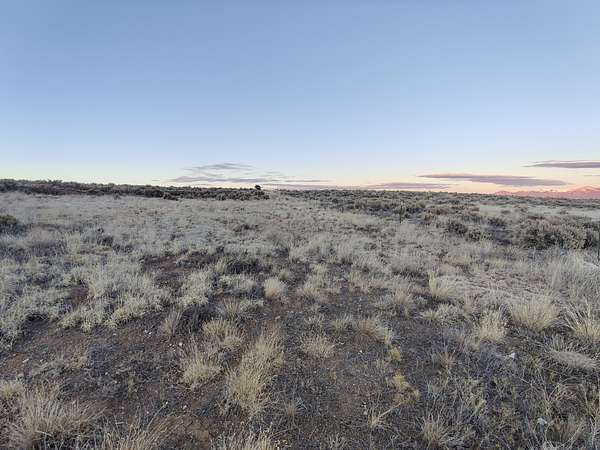
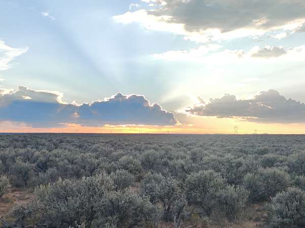
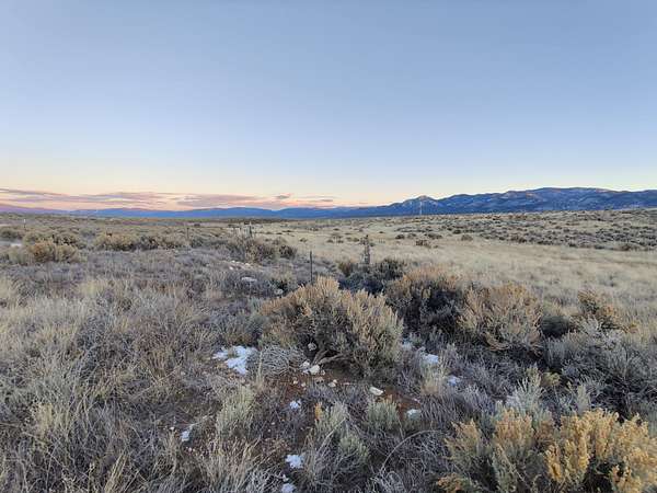
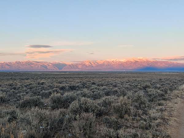
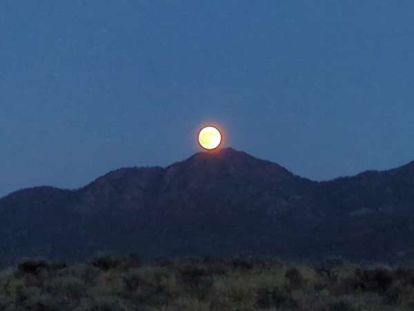
A legal, addressed, ready building site on the Carson mesa: one acre, more or less, on volcanic bedrock above Cuatro Ruedas Road, with the Sangre de Cristo range filling the view to the east and open mesa to the south and west.
Most land out here at this price is raw and ten times the size. This is the other thing... a small lot with the groundwork already in.
The deed carries a recorded right-of-way easement north to State Road 567.
A county address is assigned (92 Cuatro Ruedas Dr).
A septic system was installed by a previous owner (condition and permit status to be verified by the buyer).
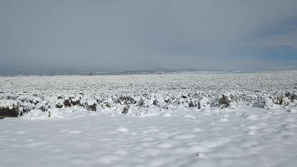
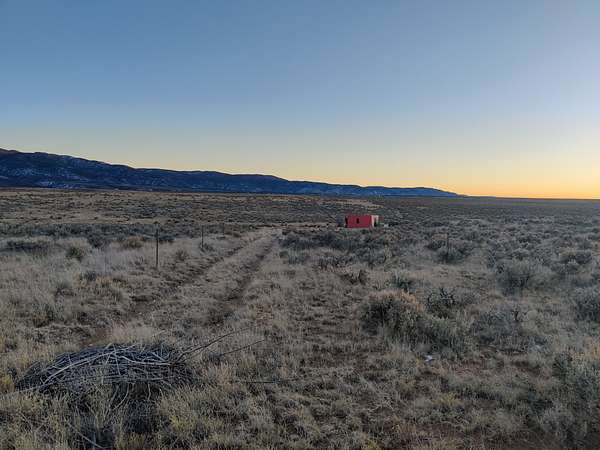
The turn-in sits in a bend just off the main dirt road, easy to reach year-round, and completely private once you are in. The slope holds a natural building site where a home will tuck into the hillside perfectly, out of the wind, facing the mountains.
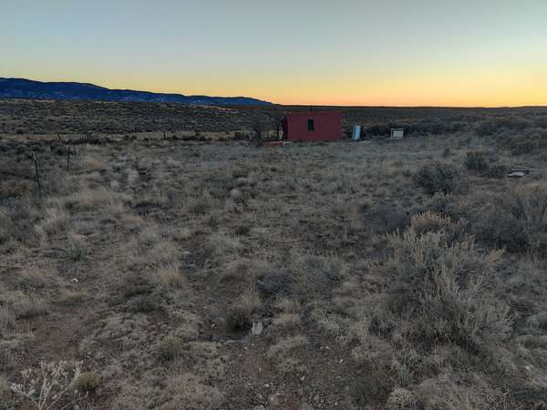
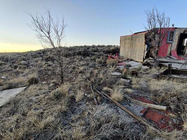
An old cabin stands on the lot, lived in once and not habitable now: salvage it for materials or clear it. No utilities on the parcel; this is solar country like the homesteads around it. Property taxes run about $36 a year.
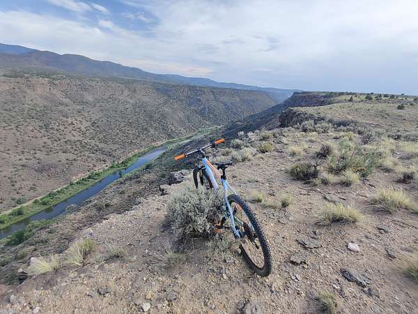
Title is held in a Fabrica trust and the parcel is on-chain, which means a clean record and a closing in minutes rather than weeks. Taos is about thirty-five minutes east; the Rio Grande Gorge and the national monument are a hike west. Some of the best trails around.
Location
- Street address
- 92 Cuatro Ruedas Dr
- County
- Taos County
- Zip code
- 87549
- Elevation
- 6,804 feet
Property details
- Acreage
- 1.1 acres47,916 sq ft
- Posted
Parcels
- 1063145400040
Legal description
Tract "C-1"
A certain tract of land in Carson, Taos County, New Mexico, within the South 1/2 of the East 1/2 of the S.E. 1/4 of Section 33, Township 25 North, Range 11 East, N.M.P.M; and more particularly described by metes and bounds as follows:
BEGINNING at a scribed stone monument found for the S.E. corner of Section 33, Township 25 North, Range 11 East, N.M.P.M; also being the S.E. corner of this tract, and the point of beginning, thence;
S 89°38'50" W, 208.71 feet to an X scribed on a stone used for the S.W. corner of this tract, thence;
N 00°10'52" E, 208.71 feet to a 5/8 inch rebar set for the N.W. corner of this tract, thence;
N 89°38'50" E, 208.71 feet to a 5/8 inch rebar set for the N.E. corner of this tract, thence;
S 00°10'52" W, 208.71 feet to the TRUE POINT AND PLACE OF BEGINNING.
This tract contains 1.000 acre, more or less and accrues a right-of-way easement north to State road 567.
Resources
Listing history
| Date | Event | Price | Change | Source |
|---|---|---|---|---|
| Oct 15, 2026 | New listing | $25,000 | — | Property seller |