Improved Residential Land for Auction in Titus, Alabama
940 Jones Corner Rd, Titus, AL 36080
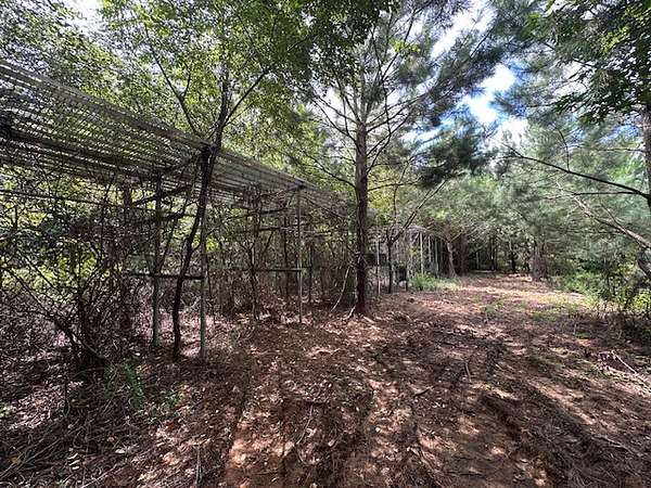
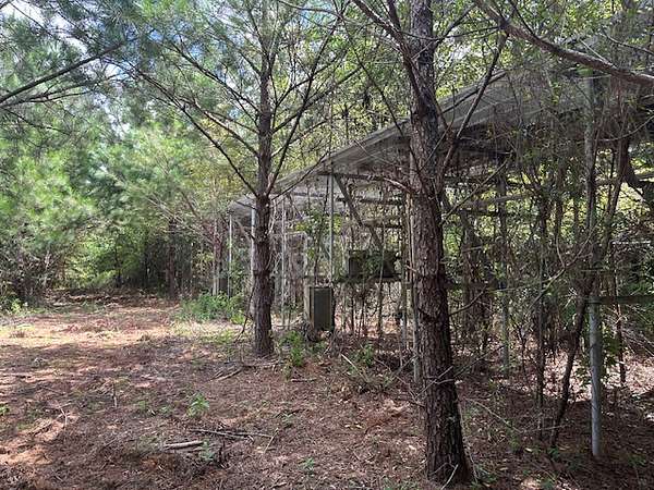
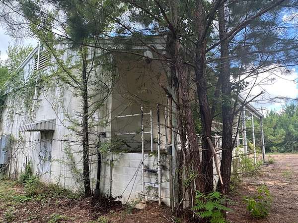
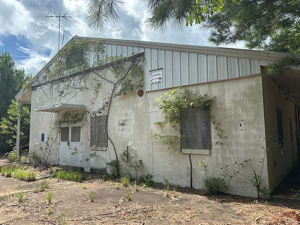
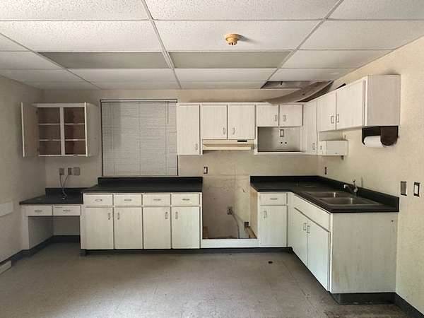
The former Jordan Lake Air Force Space Surveillance Station (AFSSS)
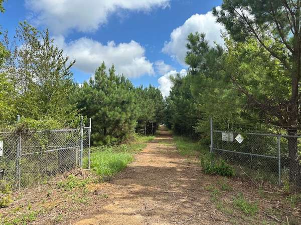
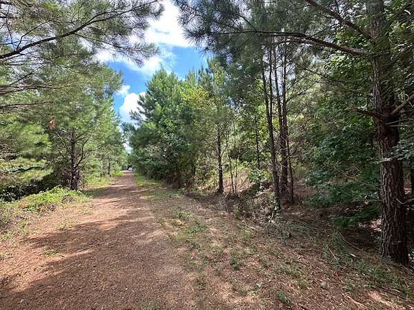
The property is located approximately 11 miles north of Wetumpka, AL in Elmore County with access drive and frontage along Jones Corner Road, formerly the Jordan Lake Air Force Space Surveillance Station (AFSSS), initially the Naval Space Command Surveillance Station (NSCSS).
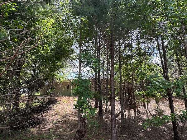
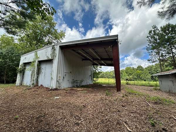
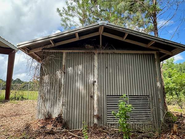
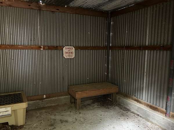
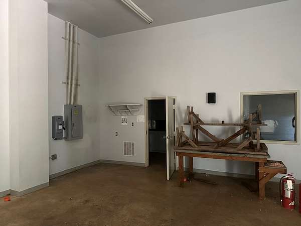
The property contains approximately 8.59 acres and is improved with a 3,025 +/- sf concrete block building, an 800 +/- sf maintenance building, a 165 +/- sf storage shed, a 64 +/- sf storm shelter, and a 1,032 +/- ft horizontal antenna. Surrounding the property are lands used for agricultural and rural residential purposes.
Auction details
- Format
- Online
- Type
- Minimum bid
- Price
- $25,000 minimum
- Begins
- Ends
- Bidding
- Bid online
Location
- Street address
- 940 Jones Corner Rd
- County
- Elmore County
Property details
- Acreage
- 8.59 acres
- Access
- Public road
- Posted
Parcels
- 13 02 03 0 000 014.000
Legal description
Commencing at the southwest corner of Section 3, Township 19 North, Range 18 East; thence north along the west line of Section 3 a distance of 1323.77 feet to a point; thence leaving the west line of Section 3 in an easterly direction at an angle of 89° 41' to the line last traversed for a distance of 445.0 feet to a point; thence in a southeasterly direction at an angle of 150° 02’ to the line last traversed for a distance of 103.7 feet to a point; thence in an easterly direction at an angle of 141° 03' to the line last traversed a distance of 176.6 feet to a brass marker on the antenna center line; thence in a northerly direction along the antenna center line at an angle of 108° 35' to the line last traversed a distance of 951.6 feet to a point on the centerline of a county road right-of-way which is the point of beginning; thence from the point of beginning in a westerly direction at an angle of 79° 25' to the line last traversed for a distance of 152.6 feet to a point; thence in a northerly direction at an angle of 79° 25' to the line last traversed for a distance of 430 feet to a point; thence in a westerly direction at an angle of 90° 00' to the line last traversed for a distance of 100.0 feet to a point; thence in a northerly direction at an angle of 90° 0' to the line last traversed for a distance of 350 feet to a point; thence in an easterly direction at an angle of 90° 00’ to the line last traversed for a distance of 100.0 feet to a point; thence in a northerly direction at an angle of 90°00 to the line last traversed for distance of 375.0 feet to a point; thence in an easterly direction at an angle of 90° 00’ to the line last traversed for a distance of 300.0 feet to a point; thence in a southerly direction at an angle of 90° 00' to the line last traversed for a distance of 1,105.0 feet to a point on the centerline of a county road right-of-way; thence in a westerly direction along the centerline of a county road right-of-way at an angle of 100° 35' to the line last traversed for a distance of 152.6 feet to the point of beginning; containing 8.59 acres, more or less, all as shown on Y&D Drawing Number 1024180, being located in Section 3, Township 19 North, Range 18 East, Elmore County, Alabama.
Listing history
| Date | Event | Price | Change | Source |
|---|---|---|---|---|
| Mar 3, 2026 | New listing | $25,000 | — | Listing agent |