
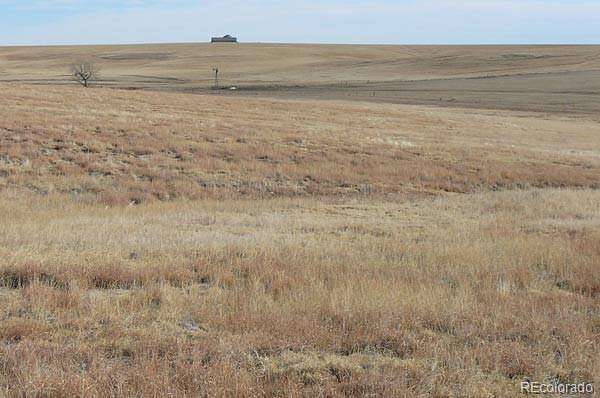
Land for Sale in Fort Morgan, Colorado
97240 E 96th Ave, Fort Morgan, CO 80701
CRP INCOME: Property is enrolled in the Conservation Reserve Program expiring 9/30/2030. Owner is receiving $20,306.00 annual cash rent however it could be withdrawn for farming or grazing by paying a penalty of approximately $113,000.00.
PASTURE INCOME Pasture & Hunting Lease Rent: Annuol cosh leose rent of S13,305.00 consisting of grozing cosh lease rent of $I3.00 per ocre on 295 ocres ond hunling cosh leose renl of $5.00 per ocre on 1,894 ocres.
WIND RENT: The Property is leased to NextEra Energy thru 9/21/30 for the potential of commercial wind towers at an annual lease payment year 1-5 is $3.00/acre or $5,760 and years 6-8 is $5.00/acre or $9,600.00 per year. If developed, potentially one tower per 160+/- acres paying $15,000 per year. Development of the project would allow for the CRP program, farming or grazing to continue.
WATER: Stock well 289177 located in the NW4SW4 of section 22 drilled in August of 2014 is 40 feet deep and producing good stock water. Domestioc /stock well 335857 in NE4NE4 of Section 22 drilled September of 2024 is 40 feet deep test pumped 10 gpm.
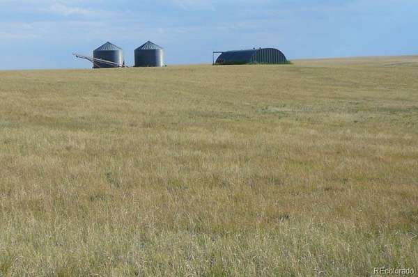
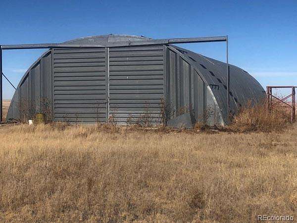
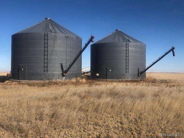
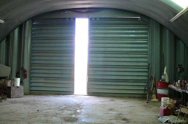
IMPROVEMENTS: Completer perimeter fence (3 miles new) and some cross fence around pasture portion. 1 older and 1 new stock /dometic well with cement bottom tank and solar panel and a 40’ x 70’ round top quonset with cement floor. 2-10,000 bushel grain bins with cement cones.
MINERALS: Property includes 100% minerals on section 22 pending on offer.
TAXES: 2025 taxes are $4,507 or $2.40 per acre.
NOTE: The information contained herein is reliable but not guaranteed by Seller or Broker. This offer is Subject to error, prior sale or withdrawal. Broker is a Transaction (neutral) Broker.
- Listed by Frank Linnebur, (303) 748-7028, Colorado Land Realty
Location
- Street address
- 97240 E 96th Ave
- County
- Adams County
- Zip code
- 80701
- School district
- Woodlin R-104
- Elevation
- 4,925 feet
Directions
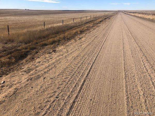
LOCATION: From Byers CO go North on US Hwy 36 1&1/2 miles and follow Hwy 36 as curves East then continue East for another 11 miles to Hanks Crossing Rd then go North 9 miles to 96th Ave then go East 8 miles to the Property entrance on the South side. Watch for tire on post and Colorado Land Realty sign.
Property details
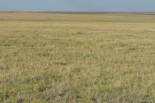
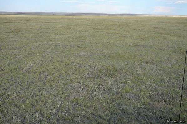
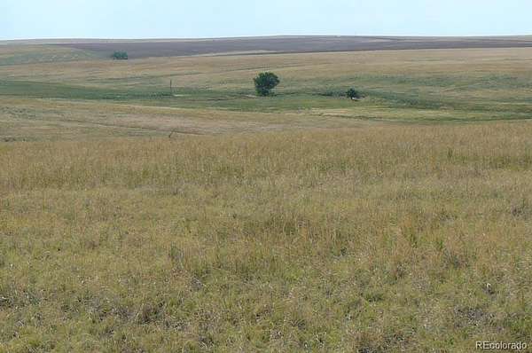
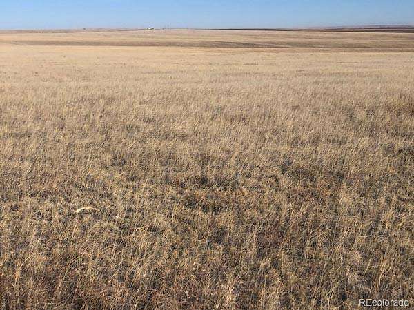
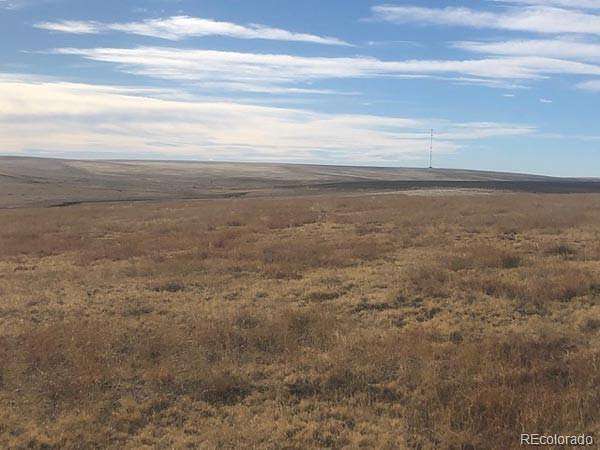
- Acreage
- 1,876 acres
- Zoning
- A3
- MLS #
- REcolorado 9601415
- Posted
Property taxes
- 2024
- $4,507
Parcels
- 0173900000041 0173900000042 0173900000048
Legal description
All of Sections 22, 23 and 27 Township 2 South, Range 58 West of the 6th P.m. County of Adams, State of Colorado.
Details and features
Listing
- Type
- Land
- Subtype
- Improved Land
- Current Use
- Agricultural, Hunting, Livestock
- Ownership
- Corporation/Trust
- Terms
- 1031 Exchange, Cash, Conventional
- Exclusions
- None.
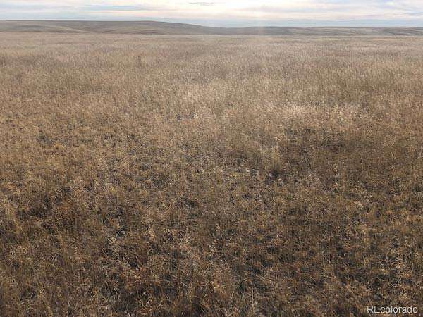
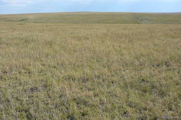
Lot
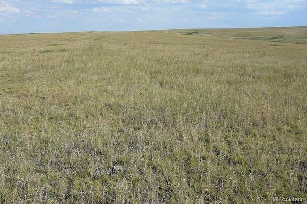
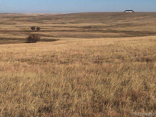
- Pasture
- 1,876 acres
- Well Type
- Private
- Well Usage
- Household w/ Livestock
- Well Permits
- 289177 335
- Rights
- Mineral Rights, Oil & Gas Rights
- Survey
- Pin Survey
- Features
- Meadow, Rolling Slope, Subdividable, Suitable For Grazing, Wetlands
Structure
- Water
- Well
- Sewer
- Septic Tank
Property utilities
| Category | Type | Status |
|---|---|---|
| Sewage | Septic System | Available |
| Water | Private Well | Available |
Listing history
| Date | Event | Price | Change | Source |
|---|---|---|---|---|
| July 2, 2026 | Relisted | $1,970,000 | — | REcolorado |
| July 1, 2026 | Listing removed | $1,970,000 | — | Listing agent |
| Apr 19, 2026 | New listing | $1,970,000 | — | REcolorado |
Payment calculator
Based on information submitted to the MLS GRID as of July 20, 2026 7:00 am MT. All data is obtained from various sources and may not have been verified by broker or MLS GRID. Supplied Open House Information is subject to change without notice. All information should be independently reviewed and verified for accuracy. Properties may or may not be listed by the office/agent presenting the information. Some IDX listings have been excluded from this website. View more