Recreational & Residential Land for Sale in Baileys Harbor, Wisconsin
Door County, Baileys Harbor, WI 54202
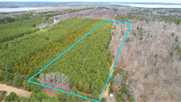
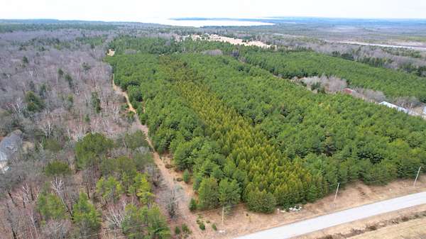
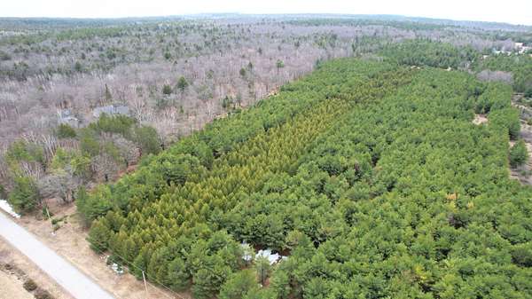
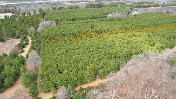
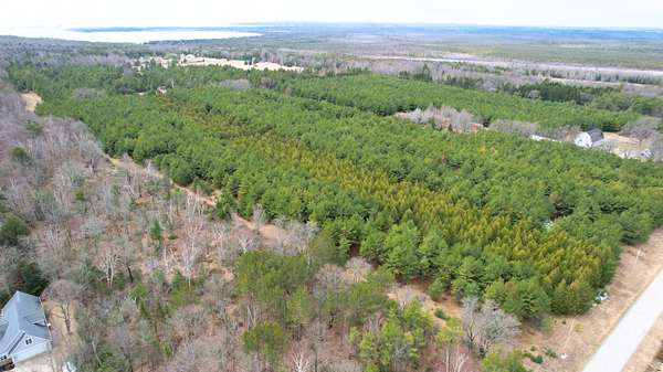
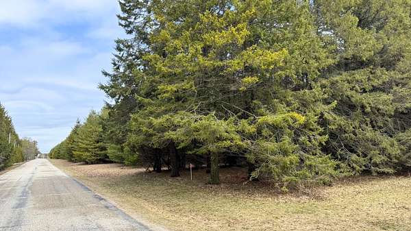
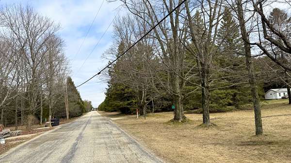
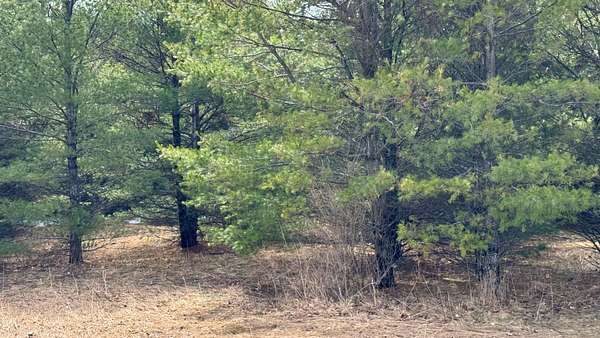
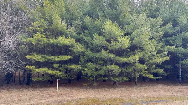
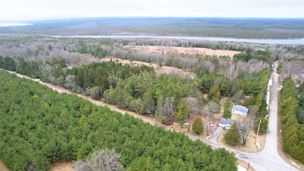
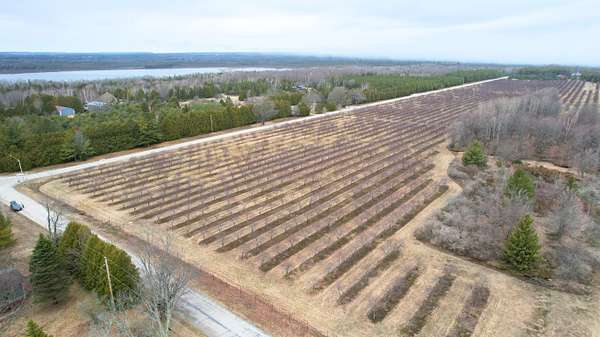
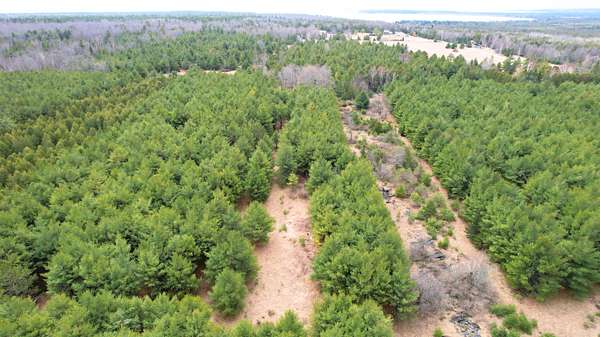
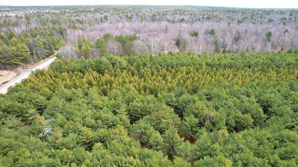
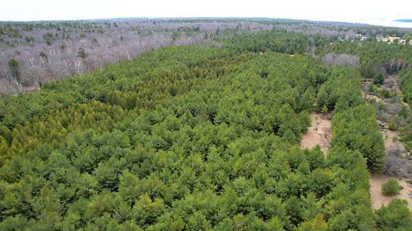
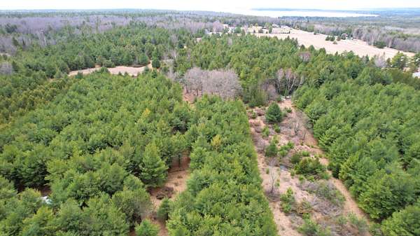
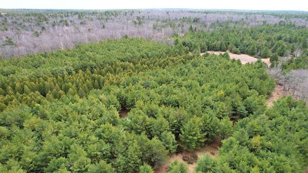
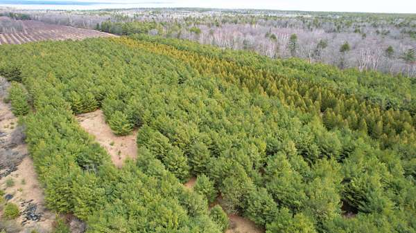
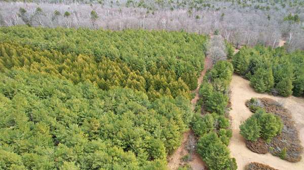
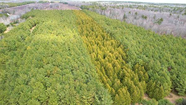
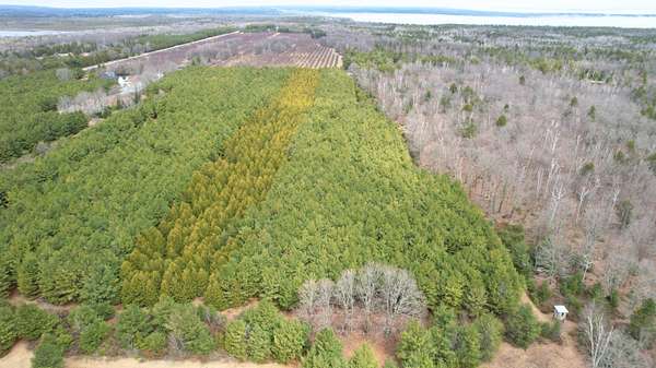
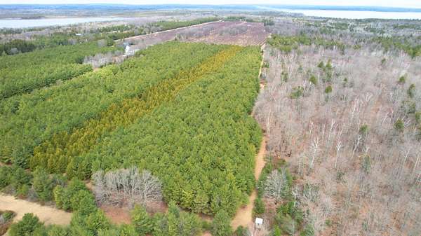
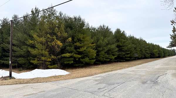
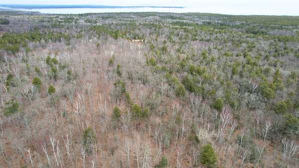
The property spans just over 11 acres, which allows for multiple potential uses across different areas of the land. It is largely covered with mature trees, with some natural clearings and lighter sections throughout. These variations create distinct pockets within the property rather than a single open space. The layout provides a sense of depth, with more open and accessible areas near the front and more secluded sections further inside.
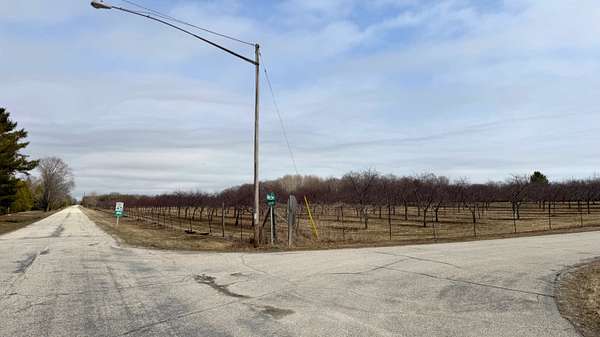
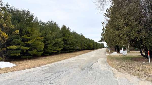
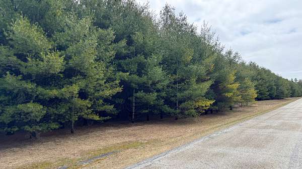
Access is provided by paved frontage along Birch Road, allowing for consistent entry throughout the year. As you move further into the property, the tree cover increases and reduces visibility from the road, creating a more private interior setting. This transition from open frontage to more enclosed interior space offers separation without requiring a remote location.
Electric power is available along the road, while a well and septic system would be required for residential use. A perc test has been completed and supports a home with four or more bedrooms. The property is zoned Estate, permitting one dwelling per five acres with a maximum of 25% impervious surface. Setbacks include 65 feet from the road centerline, 25 feet on the sides, and 50 feet at the rear, with a minimum finished floor area of 750 square feet. Double-wide manufactured homes are allowed, while mobile homes are not. Limited camping and RV use are permitted for up to 30 days per year with proper waste management. Hunting and livestock, including cattle and chickens, are allowed, and private riding stables are permitted subject to spacing and open space requirements.
Location
- County
- Door County
Property details
- Acreage
- 11.55 acres
- Zoning
- Estate
- Access
- Public road
- Posted
Parcels
- 002-0303302812B4
Legal description
A tract of land located in the Northwest one-quarter of the Northeast one-quarter of Section 3, Township 30 North, Range 28 East, Town of Baileys Harbor, Door County, Wisconsin, described as follows: Commencing at the North one-quarter of said Section 3, thence S 01o17'13" W along the west line of the Northeast one-quarter 406.40 feet to the point of beginning, thence continue S 01o17'13" W 926.39 feet to the Southwest corner of the Northwest one-quarter of the Northeast one-quarter, thence S 89o52'05" E along the south line of said Northwest one- quarter, 1327.43 feet to the Southeast corner of said Northwest one-quarter of the Northeast one-quarter, thence N 00o39'14" E along the east line of said Northwest one-quarter of the Northeast one-quarter 1321.08 feet to the Northeast corner of said Northwest one-quarter of the Northeast one-quarter, thence N 89o22'00" W along the north line of said Northeast one-quarter 760.63 feet, thence S 01o12'07" W 406.39 feet, thence N89o 22'00"W 552.61 feet to the point of beginning. The Westerly 33 feet and the northerly 25 feet of the above described tract are subject to the rights of the public for use as town roads presently known as Sunset Drive and Birch Road, respectively. Description provided by Plat of Survey dated 12-2-2022 by Brian D. Frisque, Professional Land Surveyor for Brian Frisque Surveys Inc. P.L.S. S-2429, JOB# D-120122D.
Details and features
Lot
- View
- Woods
- Features
- Wooded
Property utilities
| Category | Type | Status | Description |
|---|---|---|---|
| Sewage | Septic System | Possible | Septic can be installed (Perc test completed - approved for 4+ beds) |
Listing history
| Date | Event | Price | Change | Source |
|---|---|---|---|---|
| Apr 27, 2026 | New listing | $299,000 | — | Property seller |