
Land for Sale in Baileys Harbor, Wisconsin
Door County, Baileys Harbor, WI 54202
The property is zoned Estate, allowing one dwelling per five acres with a maximum of 25% impervious surface. Setbacks are 65 feet from the road centerline in the front, 25 feet on the sides, and 50 feet at the rear. The minimum finished floor area for a home is 750 square feet. Double-wide manufactured homes are permitted as single-family residences, while mobile homes are not allowed. Camping and RV use are allowed for one party for up to 30 days per year with proper waste disposal in place.
Additional uses include hunting and livestock, such as cattle and chickens, with no stated limit; however, county consultation is required regarding manure management before introducing animals. Private riding stables are permitted under Section 4.07 P4, provided they are located at least 200 feet from other houses and maintain a minimum of 20,000 square feet of open space per horse.
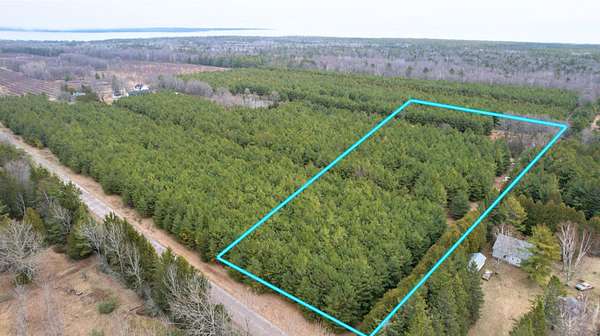
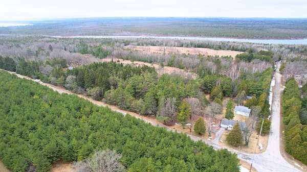
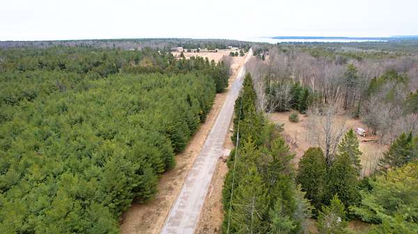
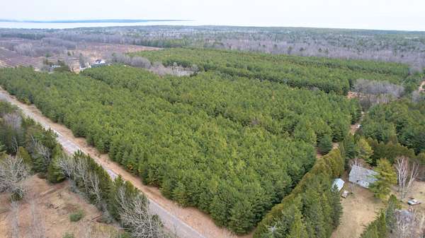
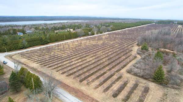
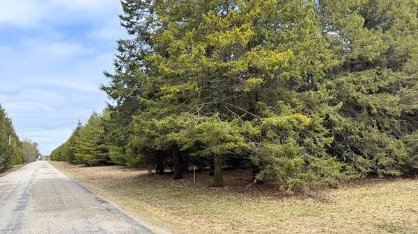
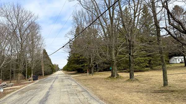
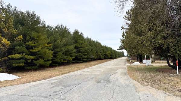
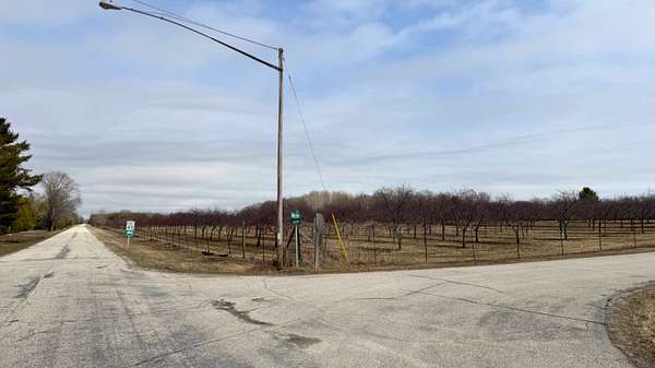
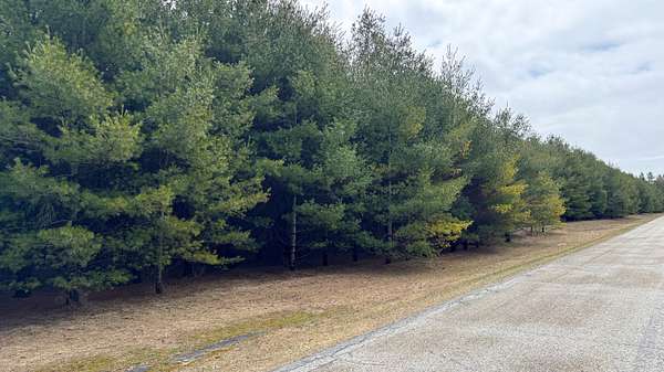
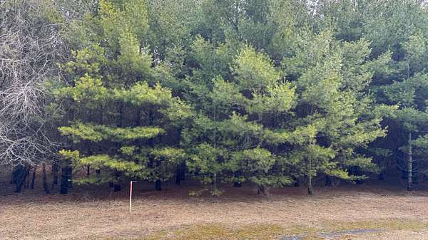
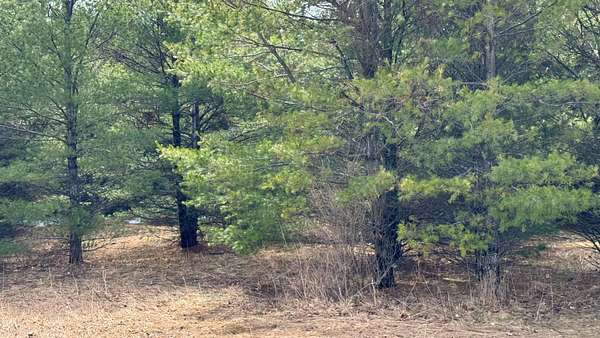
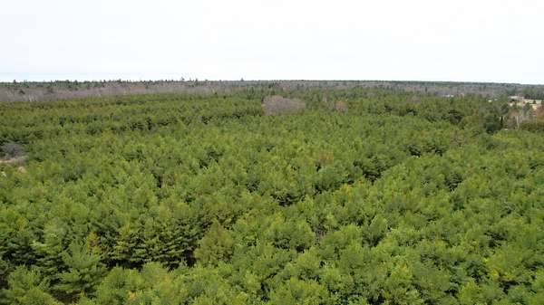
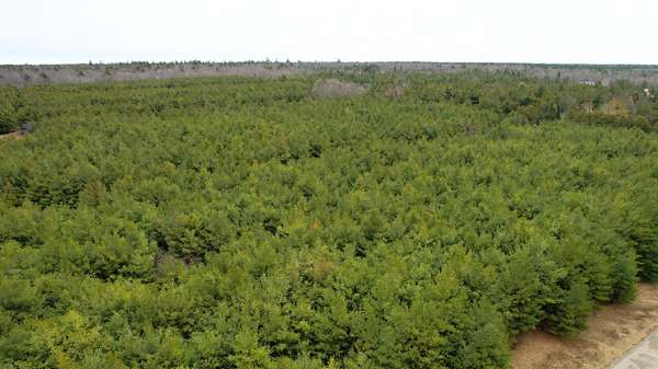
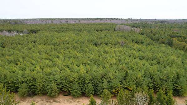
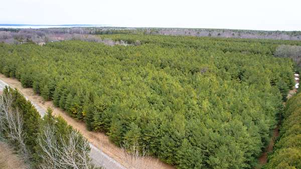
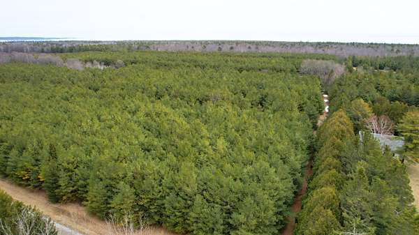
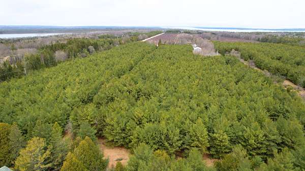
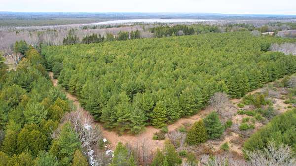
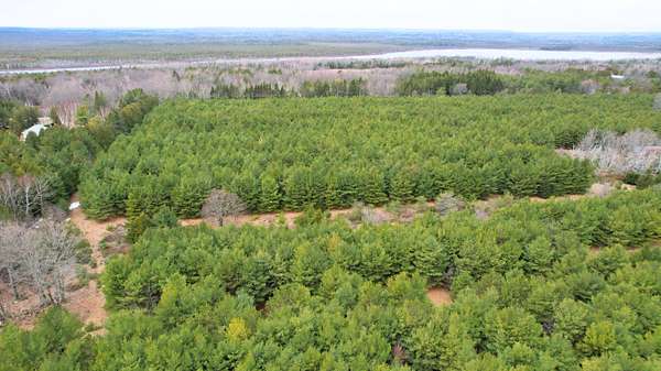
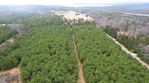
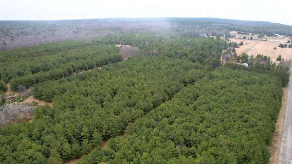
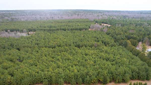
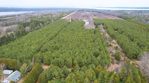
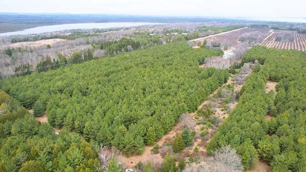
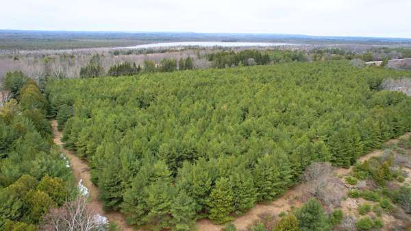
The property consists of approximately 9.95 acres of fully wooded land in Baileys Harbor. The terrain is covered with a mix of mature trees, allowing for selective clearing to accommodate a home, driveway, and other uses. Access is provided by paved frontage along Sunset Drive, and power is available at the lot line. A well and septic system would be required for water and wastewater, and a perc test has been completed supporting a home with four or more bedrooms.
Location
- County
- Door County
- Zip code
- 54202
Property details
- Acreage
- 9.95 acres
- Zoning
- Estate
- Access
- Public road
- Posted
Parcels
- 002-0303302812B2
Legal description
A tract of land located in the Northwest one-quarter of the Northeast one-quarter of Section 3, Township 30 North, Range 28 East, Town of Baileys Harbor, Door County, Wisconsin, described as follows: Commencing at the North one-quarter of said Section 3, thence S 01o17'13" W along the west line of the Northeast one-quarter 406.40 feet to the point of beginning, thence continue S 01o17'13" W 926.39 feet to the Southwest corner of the Northwest one-quarter of the Northeast one-quarter, thence S 89o52'05" E along the south line of said Northwest one- quarter, 1327.43 feet to the Southeast corner of said Northwest one-quarter of the Northeast one-quarter, thence N 00o39'14" E along the east line of said Northwest one-quarter of the Northeast one-quarter 1321.08 feet to the Northeast corner of said Northwest one-quarter of the Northeast one-quarter, thence N 89o22'00" W along the north line of said Northeast one-quarter 760.63 feet, thence S 01o12'07" W 406.39 feet, thence N89o 22'00"W 552.61 feet to the point of beginning. The Westerly 33 feet and the northerly 25 feet of the above described tract are subject to the rights of the public for use as town roads presently known as Sunset Drive and Birch Road, respectively. Description provided by Plat of Survey dated 12-2-2022 by Brian D. Frisque, Professional Land Surveyor for Brian Frisque Surveys Inc. P.L.S. S-2429, JOB# D-120122D.
Details and features
Lot
- View
- Woods
- Features
- Wooded
Property utilities
| Category | Type | Status | Description |
|---|---|---|---|
| Sewage | Septic System | Possible | Septic can be installed (Perc test completed - approved for 4+ beds) |
Listing history
| Date | Event | Price | Change | Source |
|---|---|---|---|---|
| Apr 27, 2026 | New listing | $259,000 | — | Property seller |