Land for Sale in Baird, Texas
Callahan County, Baird, TX 79504
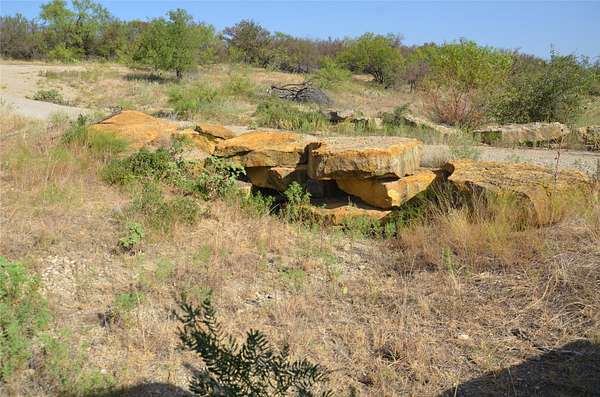
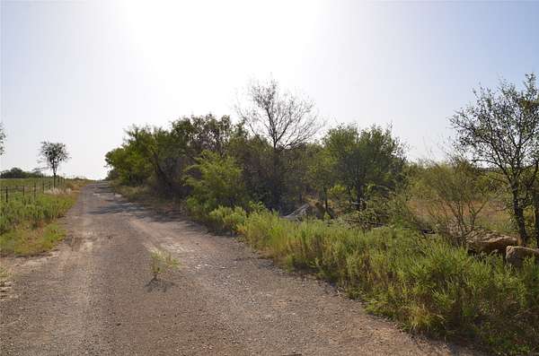
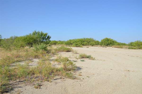
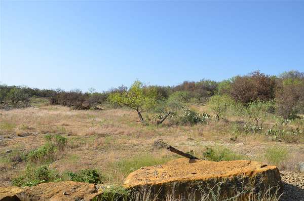
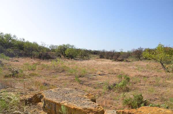
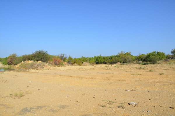
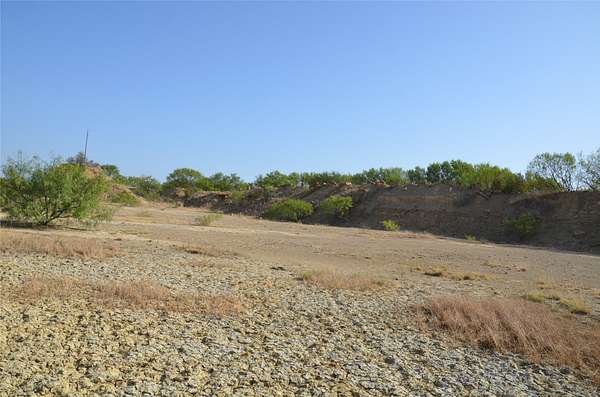
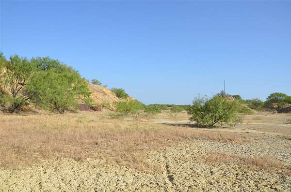
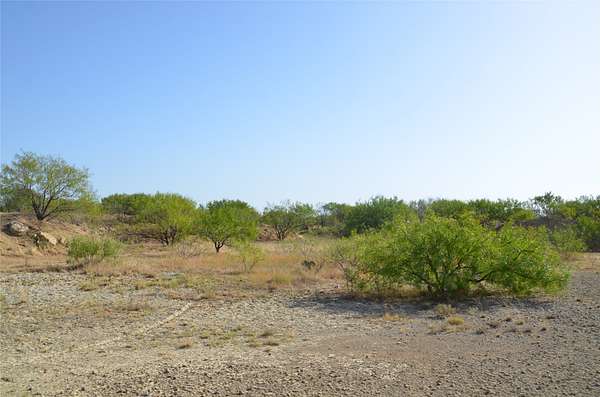
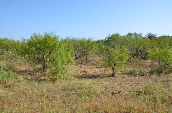
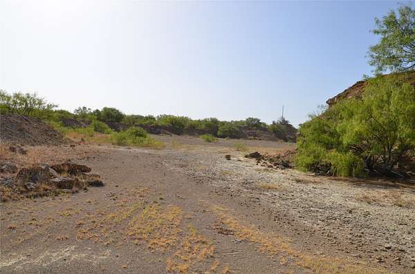
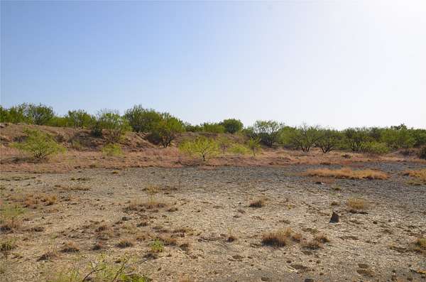
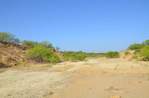
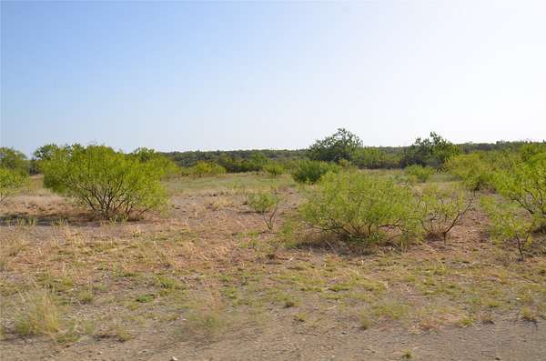
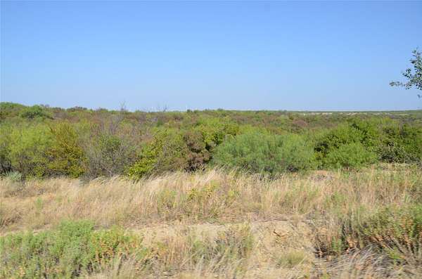
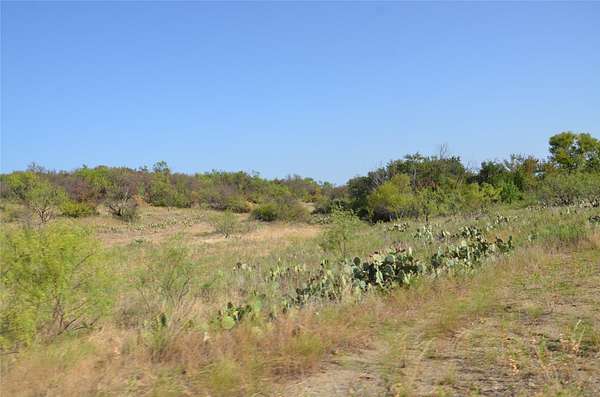
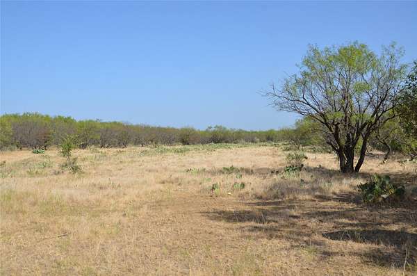
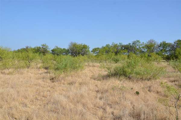
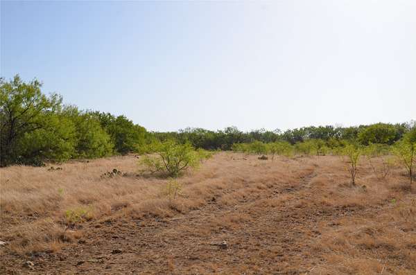
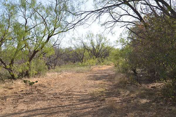
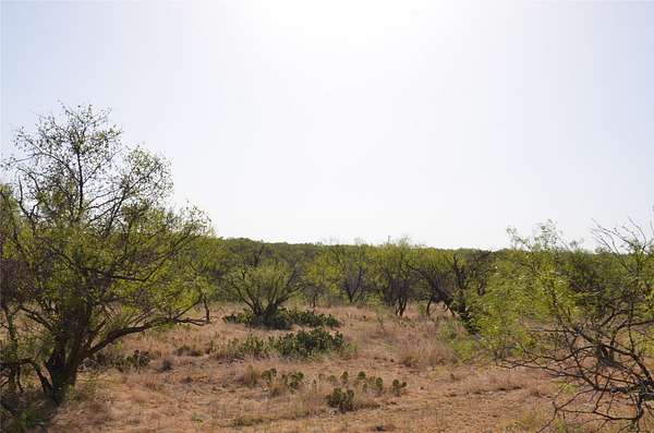
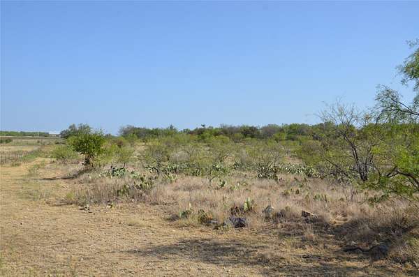
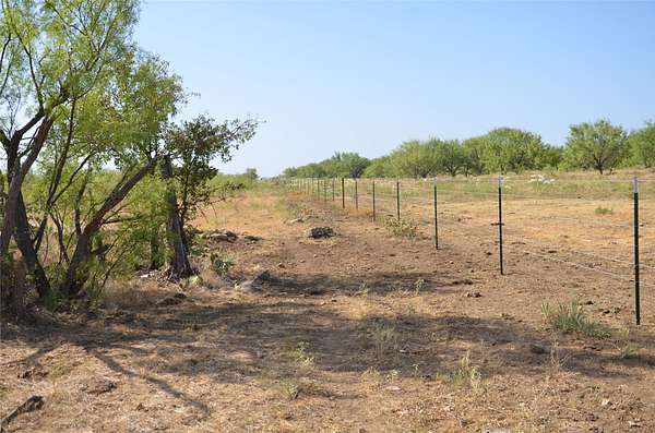
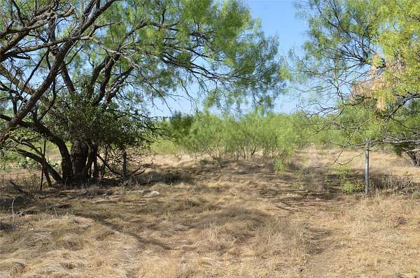
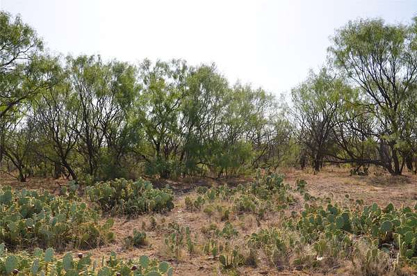
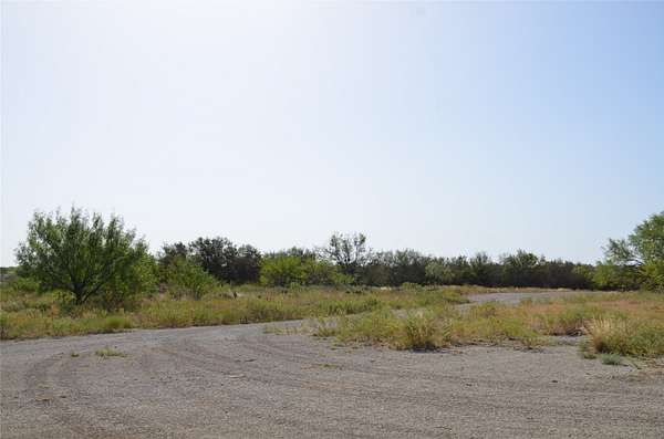
The Gulley Ranch is a versatile 555+/- acre property located north of Baird in Callahan County, Texas, offering an exceptional combination of traditional ranching, recreational opportunities, water resources, and potential mineral resource value. Sheep Creek traverses a portion of the ranch, adding a unique natural feature to the property and providing an attractive setting for wildlife and outdoor recreation. Multiple surface tanks are located throughout the ranch, providing valuable water resources for livestock and wildlife. The ranch offers numerous recreational possibilities, including hunting, wildlife viewing, and other outdoor activities. The combination of Sheep Creek, multiple surface tanks, native vegetation, and the expansive acreage creates an environment well suited for a recreational ranch or private getaway. For the traditional rancher, the property offers the opportunity to operate a working livestock ranch while also enjoying the recreational benefits of the land. The ranch's size and diverse features provide flexibility for a variety of agricultural and recreational uses. An additional feature of the Gulley Ranch is an existing old rock quarry, providing potential for quarry operations or other resource-related opportunities, subject to applicable permits, regulations, and feasibility. Located just north of Baird in Callahan County, the Gulley Ranch offers convenient access to the surrounding Big Country area while maintaining the privacy and character expected of a larger rural ranch. Properties offering this combination of acreage, water, creek frontage, recreational potential, traditional ranch use, and quarry potential are increasingly difficult to find. The Gulley Ranch is a property with possibilities-whether you're looking for a traditional Texas ranch, recreational retreat, hunting property, or land with additional resource potential.
Location
- County
- Callahan County
- Zip code
- 79504
- Community
- BBB & C
- School district
- Baird ISD
- Elevation
- 1,734 feet
Directions
I20 to Baird, Exit HWY 283 North. North on HWY 283 for approximately 1 mile to CR 326. East on CR 326. Property is at the end of the CR.
Property details
- Acreage
- 555 acres
- MLS #
- NTREIS 21405986
- Posted
Property taxes
- Recent
- $284
Parcels
- R017429
Legal description
ACRES: 190.000 865 136 BBB & C
Details and features
Listing
- Type
- Land
- Address
- CR 326
Lot
- Features
- Acreage, Agricultural
Nearby schools
| Name | Type | District |
|---|---|---|
| Baird | Elementary | Baird ISD |
| Baird | Middle | Baird ISD |
| Baird | High | Baird ISD |
Listing history
| Date | Event | Price | Change | Source |
|---|---|---|---|---|
| Oct 7, 2026 | New listing | $1,942,500 | — | NTREIS |