Skip to main content
Skip to navigation
Properties
Find agent
Post property
Log in
•
Sign up
Search here
List
Baker City, OR land for sale
Price
Size
Tags
Save
6 properties
For you
Newest
Price: high to low
Price: low to high
Size: large to small
Size: small to large
Updated
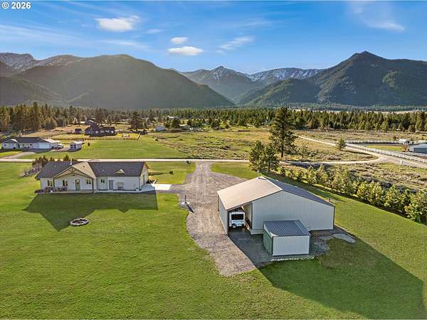
9 hours
$895,000
5 acres
Baker County
3 bd, 2 ba
•
1,852 sq ft
Baker City, OR 97814
50 days ago
$975,000
6.9 acres
Baker County
3 bd, 3 ba
•
2,962 sq ft
Baker City, OR 97814
4 months ago
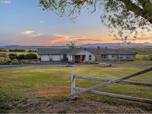
$1,550,000
160 acres
Baker County
4 bd, 4 ba
•
2,821 sq ft
Baker City, OR 97814
4 months ago
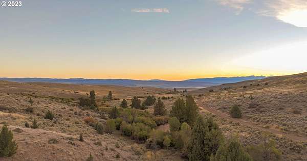
$1,400,000
1,618 acres
Baker County
Baker City, OR 97814
9 months ago
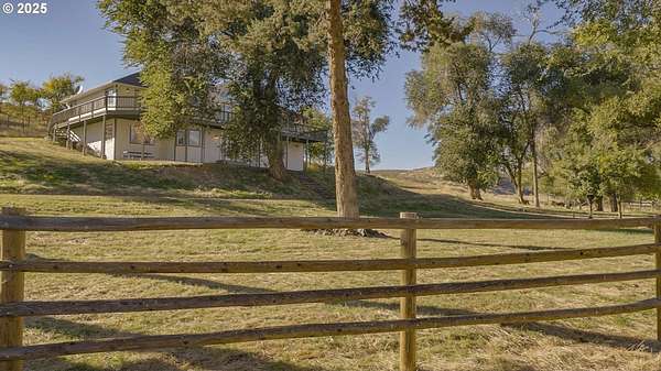
$2,650,000
1,778 acres
Baker County
3 bd, 4 ba
•
2,821 sq ft
Baker City, OR 97814
2 years ago
$700,000
1 acre
Baker County
Baker City, OR 97814
Map