Images
Map
Residential Land for Sale in Burningtown Township, North Carolina
Bonfire Dr, Burningtown Township, NC 28734
$85,000
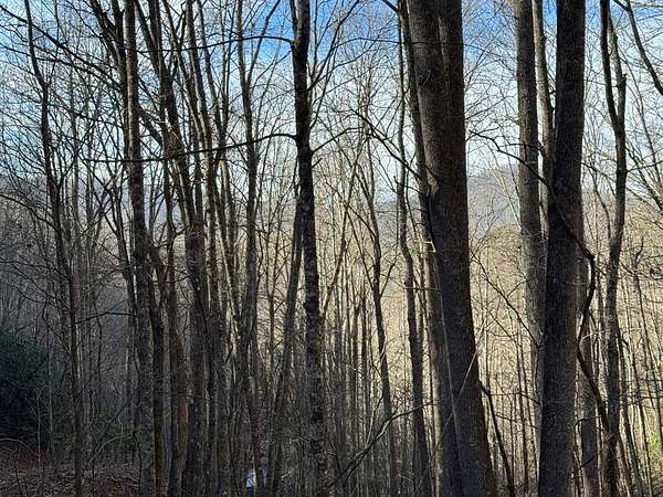
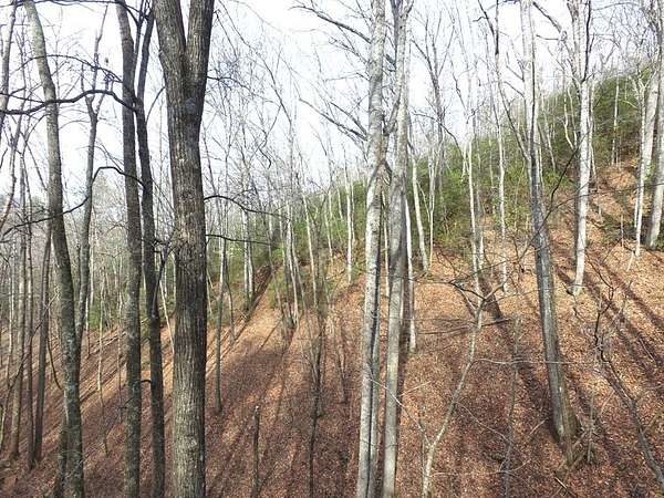
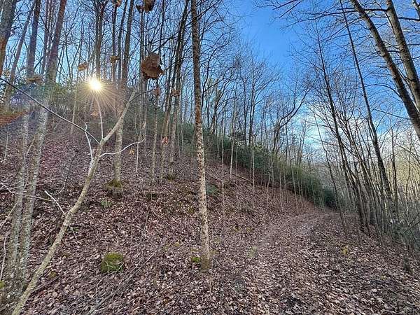
5.32 acres
Active
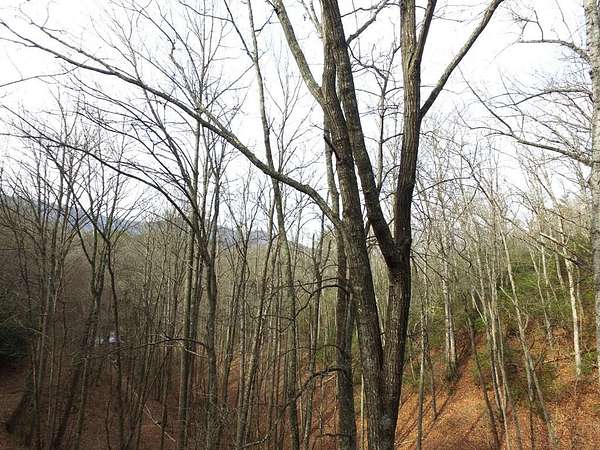
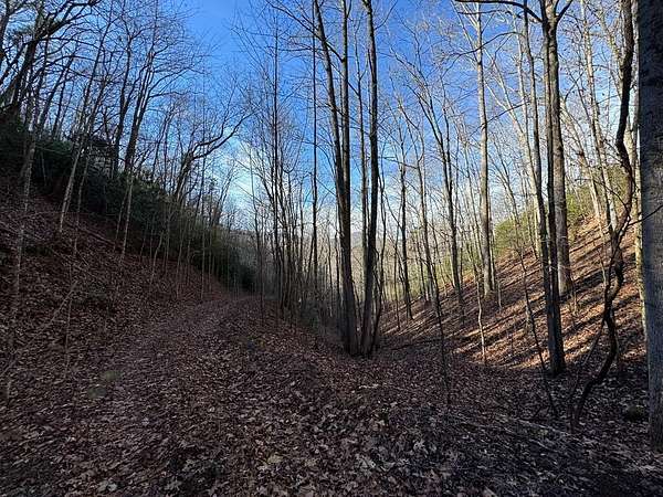
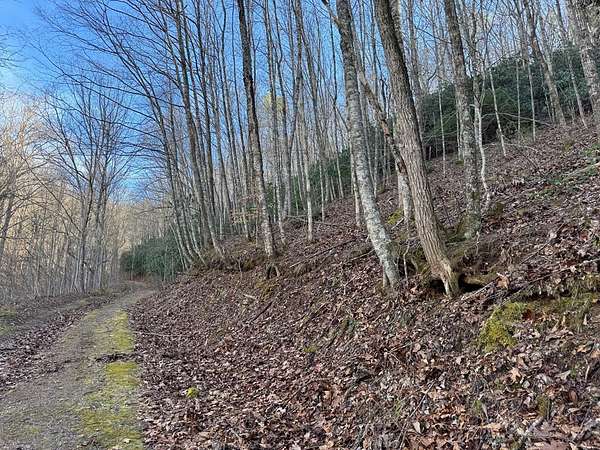
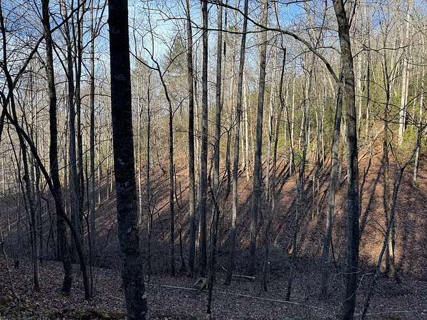
Est $617/mo5.32 acres of beautiful wooded property with big potential. 20 minutes from town gets you the privacy you want while keeping shopping and dining in town within convenience range. The lot has a mix of both slope and level. Could easily facilitate 2 or 3 homes with space in between. Has winter mountain view.
Location
- Street address
- Bonfire Dr
- County
- Macon County
- Community
- Lower Burningtown
- Elevation
- 2,495 feet
Directions
From Franklin, take Hwy 28 North about 2.8 miles and take a left onto Iotla Church Rd. Continue straight and road turns into Burningtown Rd and then Lower Burningtown Rd. After about 6.5 miles, take a right onto Saldeer Mtn Rd. Go .3 miles and take a right onto Bonfire. Go about .2 miles and you will see directional sign on the left.
Property details
- Acreage
- 5.32 acres
- MLS #
- FBR 26043095
- Posted
Parcels
- 6567847415
Details and features
Listing
- Type
- Land
- Subtype
- Single Family Residence
Listing history
| Date | Event | Price | Change | Source |
|---|---|---|---|---|
| Jan 16, 2026 | New listing | $85,000 | — | FBR |
Payment calculator
Contact listing agent
By submitting, I agree to the terms of use and to be contacted by . Message and data rates may apply.