Land for Sale in Briggsdale, Colorado
Weld County, Briggsdale, CO 80611
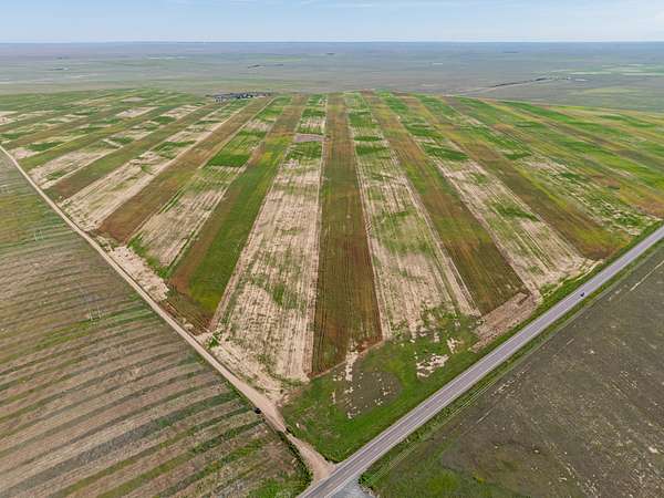
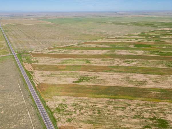
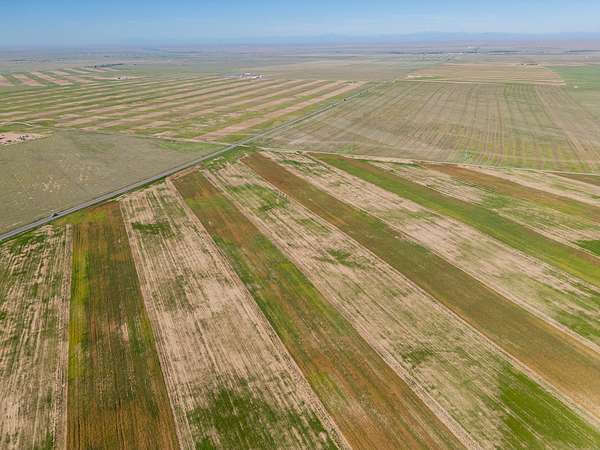
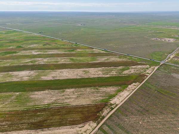
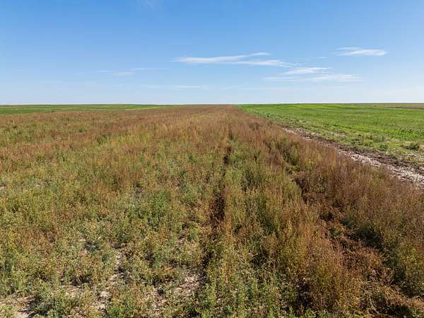
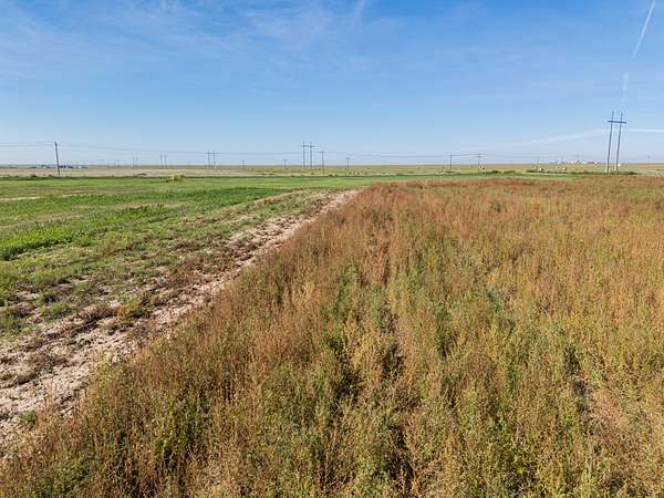
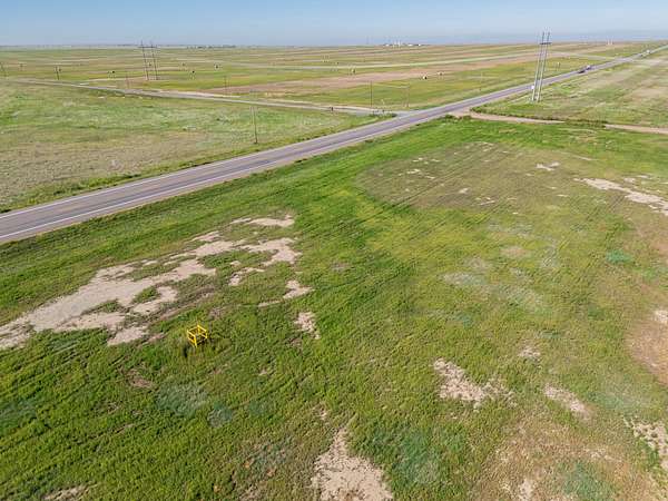
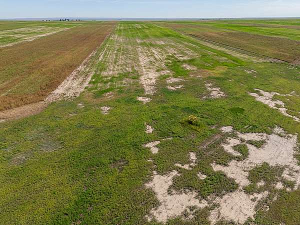
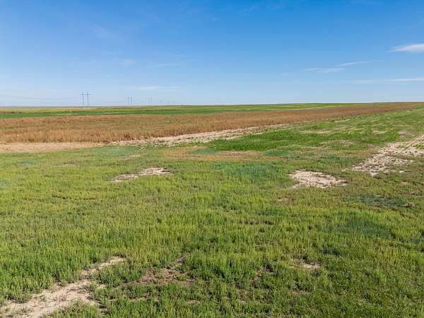
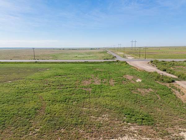
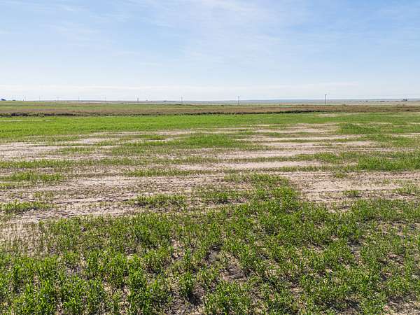
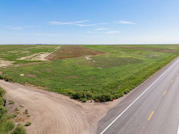
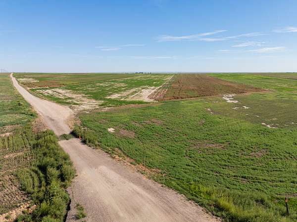
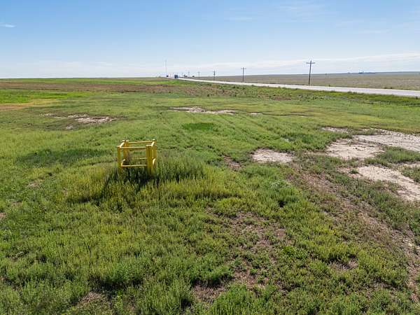
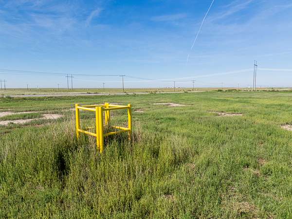
Discover 34.9 acres of open northern Colorado land with direct frontage on Highway 14. This parcel offers excellent views, electricity already on site, and an existing water well that transfers with the property—providing a strong foundation for your future home or retreat.
Land
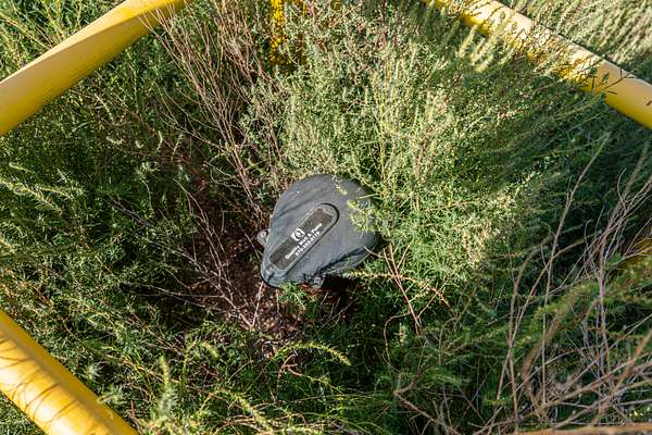
This parcel is situated on the High Plains near Pawnee National Grasslands. With excellent mountain and plains views, it is ready for your home with ample room to breathe. There is no HOA dictating what you can build, only Weld County regulations. With easy access to Highway 14, the buyer will not have miles of travel on dirt roads to get home. Power has been brought to the site to supply electric service to the 15 GPM well that was drilled in 2015.
Recreation
The Pawnee National Grassland covers about 193,000 acres of shortgrass prairie in northeastern Colorado’s Weld County, near Briggsdale and Greeley. Managed by the U.S. Forest Service, it offers open skies, solitude, and classic high-plains scenery, highlighted by the Pawnee Buttes rising 250–300 feet above the prairie.
Top activities:
Birdwatching — One of the best spots in the region, with 200–300+ species (including Lark Bunting, Burrowing Owl, Mountain Plover, and raptors). Peak season is spring migration. A popular 21-mile self-guided Bird Tour starts at Crow Valley Recreation Area.
Hiking — The main trail is the easy 3–3.7-mile round-trip Pawnee Buttes Trail. Seasonal closures protect nesting raptors (typically March–June on certain overlooks). Cross-country hiking is allowed on public land.
Camping — Developed sites at Crow Valley Recreation Area (family and group sites, shade, picnic areas; reserve via Recreation.gov). Dispersed camping is widely available on public land—bring everything you need.
Scenic drives — The Pawnee Pioneer Scenic and Historic Byway offers history, photography, and wildlife viewing (pronghorn, coyotes, prairie dogs).
Other — Limited OHV use at Main Draw (seasonal), target shooting at Baker Draw, horseback riding, mountain biking on roads, and excellent stargazing.
Tips: No entrance fee. Use the official Motor Vehicle Use Map—roads can be muddy and impassable when wet. Services are minimal; pack water, fuel, and supplies. Check current conditions and closures with the Forest Service in Greeley.
Water/Mineral Rights & Natural Resources
The property has a water well installed. It is currently permitted with the Division of Water Resources as a commercial sanitary well but could be repermitted for household use.
No mineral rights are available for purchase with this property.
Region & Climate
Regional and Climate Information – Briggsdale, Colorado
Briggsdale is a small unincorporated community and census-designated place in Weld County, northeastern Colorado. Located on the high plains at an elevation of approximately 4,865–4,866 feet, it sits just west of the Pawnee National Grassland. The surrounding landscape consists of flat to gently rolling shortgrass prairie and agricultural land within the South Platte River basin. The area has a classic high-plains character with wide-open views, limited tree cover outside of scattered cottonwood stands, and a rural agricultural setting.
Climate Overview
Briggsdale has a cold semi-arid climate. Summers are warm to hot and relatively dry, while winters are cold with light snowfall. Large daily temperature swings are common due to the elevation and open terrain. Average annual precipitation is low—about 13.4 inches—with most moisture falling as rain during late spring and summer thunderstorms. Annual snowfall typically ranges from 16 to 19 inches.
Key climate averages (1991–2020 normals):
Average annual high: ~64°F
Average annual low: ~31°F
Warmest month (July): average high around 90°F
Coldest month (January): average high around 41°F, average low around 10°F
Record high: 106°F
Record low: −38°F
The USDA Plant Hardiness Zone is 5a (−20°F to −15°F). The average first frost occurs in early October, and the average last frost falls in early to mid-May. Strong winds, occasional severe thunderstorms in summer, and periods of drought are typical of the northeastern Colorado plains.
Location
This parcel is located just east of Briggsdale, in Weld County, Colorado, on the northeastern high plains. Situated at roughly 5,020 feet in elevation, the area features open agricultural land and shortgrass prairie terrain, immediately adjacent to (and bordering) the Pawnee National Grassland. Briggsdale itself is a small rural community with a post office (ZIP 80611). The setting offers wide-open spaces, quiet rural character, and easy access to recreational opportunities in the grassland (hiking, wildlife viewing, and scenic drives along the Pawnee Pioneer Trails Byway via Highway 14).
Approximate driving distances and times from the Briggsdale area :
Greeley, CO: Approximately 32 miles (about 50 minutes)
Fort Collins, CO: Approximately 42 miles (about 1 hour 10 minutes)
Location
- County
- Weld County
- Zip code
- 80611
- Elevation
- 5,020 feet
Property details
- Acreage
- 34.9 acres
- Posted
Listing history
| Date | Event | Price | Change | Source |
|---|---|---|---|---|
| Oct 15, 2026 | Price drop | $105,000 | $30,000 -22.2% | Listing agent |
| Aug 26, 2026 | New listing | $135,000 | — | Listing agent |