
Residential Land for Sale in Lowmansville, Kentucky
Brown Fork Road Map 057-00-00-009.00, Lowmansville, KY 41232
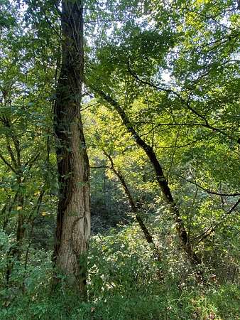
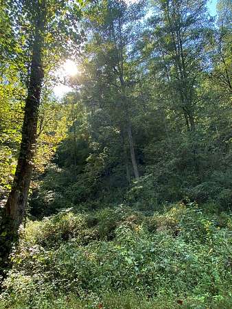
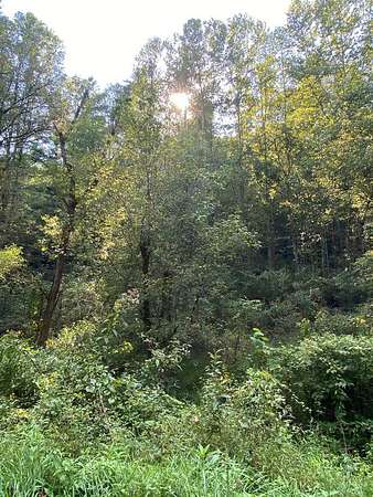
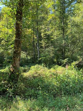
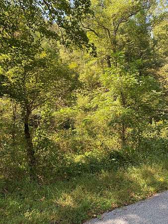
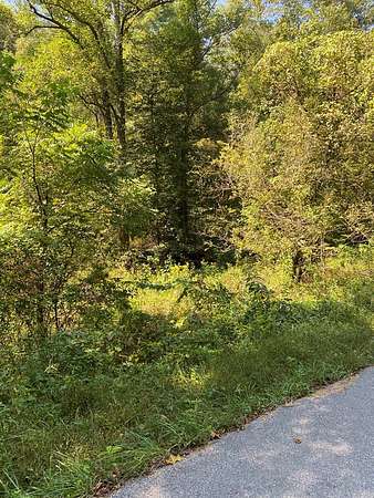
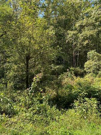
Endless possibilities await you with these 7 acres of land in Lowmansville, KY. Take this opportunity to own a blank canvas of nature with acres of pristine, undeveloped land nestled in the heart of Johnson County. Whether you're dreaming of a private retreat, a thriving homestead, a creative compound, or the next great architectural marvel, this land is ready to become whatever your mind can imagine. There are no established utilities on the property; however, water and electric are available. If you are recreationally minded, then the land can be used for hiking, camping, hunting, ATV riding, etc. Again, the possibilities are endless.
Location
- Street address
- Brown Fork Road Map 057-00-00-009.00
- County
- Johnson County
- Zip code
- 41232
- Elevation
- 677 feet
Directions
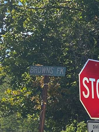
From the intersection of U.S. 23/460, travel U.S. 23 north for 8.5 miles. Turn left at Browns Fork sign. Go 2/10 miles (approximately 1000 feet) to property on left.
Property details
- Acreage
- 7 acres
- MLS #
- EKTAR 126560
- Posted
Resources
Details and features
Listing
- Type
- Land
Exterior
- Features
- Hillside Acreage Included
Nearby schools
| Name | Type |
|---|---|
| W. R. Castle Memorial | Elementary |
| Johnson County | Middle |
| Johnson Central | High |
Listing history
| Date | Event | Price | Change | Source |
|---|---|---|---|---|
| May 22, 2026 | Under contract | $28,500 | — | EKTAR |
| May 3, 2026 | Price drop | $28,500 | $4,000 -12.3% | EKTAR |
| Sept 19, 2025 | New listing | $32,500 | — | EKTAR |