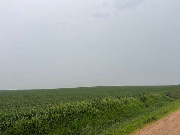
Agricultural Land for Sale in Bruning, Nebraska
Thayer County, Bruning, NE
FARM DESCRIPTION:
Tract 1: 162.2 acres more or less: 126.11 acres irrigated, 21.02 acres dryland, 11.55 acres trees, and 3.52 acres of roads.
Tract 2: 150.7 acres more or less: 132.91 acres irrigated, 9.51 acres dryland, 5.87 acres trees, and 2.41 acres of roads.
IRRIGATION EQUIPMENT:
All irrigation equipment is owned by the seller and sells with the farm in "AS IS-WHERE IS CONDITION."
Tract 1: SW4 28-5N2W: 1985, 8 tower Valley center pivot, Model 6000, SN: 51100; generator; JD diesel irrigation motor SN:414TF 01424324T; McCrometer water flow meter SN: 92-8-3019N; Diesel Fuel Tank, Amarillo gearhead, Western Landroller pump, and an 8-inch chemigation check valve.
Tract 2: SE4 28-5N-2W: 2000, 8 tower Valley center pivot, Model 6000, SN: 52085; Lima generator SN: A38752UG; JD diesel irrigation motor SN:TO6059T313252, 6059TF001; McCrometer water flow meter SN: 91-8-2121N; Diesel Fuel Tank, Amarillo gearhead; Western Landroller pump, and an 8-inch Blu River chemigation check valve.
Location
- County
- Thayer County
Property details
- Acreage
- 312.9 acres
- Posted
Legal description
Tract 1: The Southwest Quarter (SW ¼) Section Twenty-Eight (28), Township Five North (5N), Range Two (2), all West of the 6th P.M., Fillmore, County, Nebraska, except 0.27 acres, subject to easements and restrictions of record, consisting of 162.20 acres. Parcel ID# 300050505
Tract 2: The Southeast Quarter (SE ¼) Section Twenty-Eight (28), Township Five North (5N), Range Two (2), all West of the 6th P.M., Fillmore, County, Nebraska, except a tract of land in the Southeast Quarter of the Southeast Quarter of Section Twenty-Eight (28), Township Five North (5N) Range Two (2), West of the 6th P.M., Fillmore County, Nebraska, more particularly described as follows:
Beginning at the approximate intersection of the centerline roadway and the East fence line extended Southerly to the approximate Southeast corner of the Southeast Quarter of said Section 28; thence Westerly along the centerline of said road on an assumed bearing of due West 1,058.1 feet; thence on the following courses and distances: due North 36 feet; thence N66 44’42”E 455.9 feet; thence N38 20’42”E 241.8 feet; thence N81 00’42”E 70 feet; thence N95 14’42”E 316 feet; thence N22 15’42”E 431.5 feet; thence due East 36.5 feet to a point on the North-South line; thence S00 14’10”W 1,038.4 feet to the point of beginning consisting of 9.30 acres, subject to easements and restrictions of record. Parcel ID# 300050519
Resources
Details and features
Lot
- View
- Farm, Woods
- Features
- Crops, Wooded
Exterior
- Features
- Farm Equipment
Listing history
| Date | Event | Price | Change | Source |
|---|---|---|---|---|
| July 23, 2026 | New listing | $3,911,250 | — | Listing agent |