Properties
Find agent
Post property
Log in
Sign up
Search here
List
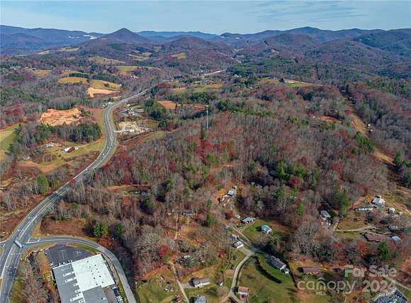
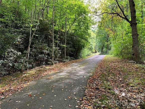
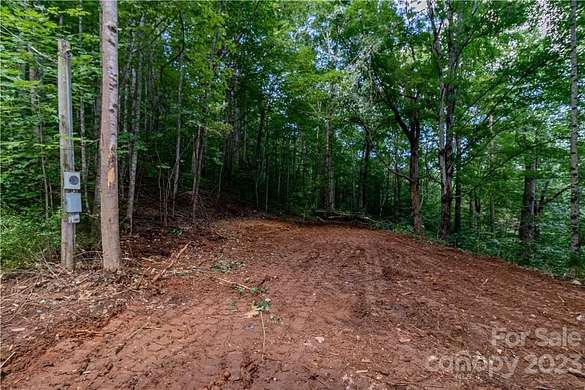
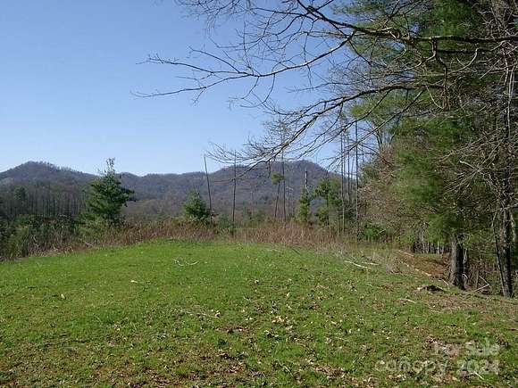
Burnsville, NC land for sale
Price
Size
Filters
Save search
59 properties
For you
For you
Newest
Price hi-lo
Price lo-hi
Size hi-lo
Size lo-hi
Updated
$0 drop • Sept 21
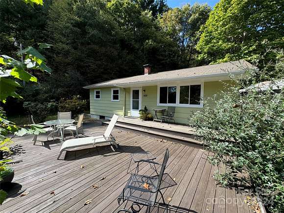
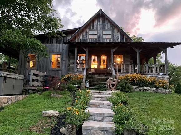
$569,000
14 acres
Yancey County
3 bd, 2 ba • 1,658 sq ft
Burnsville, NC 28714
47 days ago
$70,895
2 acres
Yancey County
Burnsville, NC 28714
$349k drop • Dec 5
$4,250,000
425 acres
Yancey County
Burnsville, NC 28714
$10k drop • Nov 24
$220,000
2.3 acres
Yancey County
Burnsville, NC 28714
$25k drop • Nov 12
$15,000
0.48 acres
Yancey County
Burnsville, NC 28714
3 months ago
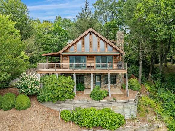
$1,100,000
10 acres
Yancey County
5 bd, 4 ba • 4,270 sq ft
Burnsville, NC 28714
3 months ago
$17,500
1 acre
Yancey County
Burnsville, NC 28714
$1k drop • Dec 3
$41,000
1.67 acres
Yancey County
Burnsville, NC 28714
2 months ago
$205,000
3.49 acres
Yancey County
Burnsville, NC 28714
46 days ago
$365,000
4.35 acres
Yancey County
Burnsville, NC 28714
6 months ago
$34,000
0.42 acres
Yancey County
Burnsville, NC 28714
7 months ago
$22,500
0.69 acres
Yancey County
Burnsville, NC 28714
4 months ago
$699,000
5.38 acres
Yancey County
3 bd, 2 ba • 1,285 sq ft
Burnsville, NC 28714
8 months ago
$59,000
3 acres
Yancey County
Burnsville, NC 28714
$20k drop • Oct 15
$159,000
1.31 acres
Yancey County
Burnsville, NC 28714
$100k drop • Nov 20
$1,400,000
1.5 acres
Yancey County
Burnsville, NC 28714
9 months ago
$287,000
19 acres
Yancey County
Burnsville, NC 28714
18 months ago
$8,400
0.65 acres
Yancey County
Burnsville, NC 28754
4 months ago
$680,000
3 acres
Yancey County
4 bd, 4 ba • 3,235 sq ft
Burnsville, NC 28714
$6.5k drop • Nov 20
$6,000/mo
1.5 acres
Yancey County
Burnsville, NC 28714
7 months ago
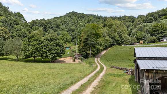
$900,000
50 acres
Yancey County
2 bd, 1 ba • 900 sq ft
Burnsville, NC 28714
3 months ago
$350,000
2 acres
Yancey County
2 bd, 1 ba • 933 sq ft
Burnsville, NC 28714
7 months ago
$225,000
2 acres
Yancey County
Burnsville, NC 28714
12 days
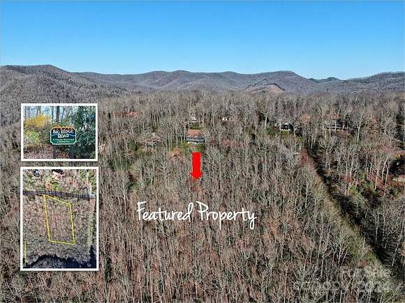
$78,900
0.37 acres
Yancey County
Burnsville, NC 28714
5 months ago
$49,900
1.88 acres
Yancey County
Burnsville, NC 28714
6 months ago
$34,000
0.4 acres
Yancey County
Burnsville, NC 28714
20 months ago
$1,250,000
194 acres
Yancey County
Burnsville, NC 28714
3 months ago
$565,000
18.4 acres
Yancey County
3 bd, 2 ba • 1,717 sq ft
Burnsville, NC 28714
18 months ago
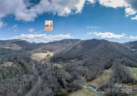
$185,000
8 acres
Yancey County
Burnsville, NC 28714
3 months ago
$730,000
2.45 acres
Yancey County
3 bd, 3 ba • 2,718 sq ft
Burnsville, NC 28714
5 months ago
$275,000
25 acres
Yancey County
Burnsville, NC 28714
5 months ago
$16,000
0.65 acres
Yancey County
Burnsville, NC 28714
10 months ago
$685,500
29 acres
Yancey County
Burnsville, NC 28714
$3k drop • Sept 28
$20,000
0.92 acres
Yancey County
Burnsville, NC 28714
2 years ago
$150,000
5.49 acres
Yancey County
Burnsville, NC 28714
6 months ago
$110,000
9.6 acres
Yancey County
Burnsville, NC 28714
8 months ago
$55,000
0.6 acres
Yancey County
Burnsville, NC 28714
9 months ago
$89,900
2 acres
Yancey County
Burnsville, NC 29714
6 months ago
$250,000
3.79 acres
Yancey County
Burnsville, NC 28714
2 years ago
$26,500
1.45 acres
Yancey County
Burnsville, NC 28714
5 months ago
$109,900
2.17 acres
Yancey County
Burnsville, NC 28714
pending
Under contract
$98,500
7.19 acres
Yancey County
Burnsville, NC 28714
$14.5k drop • Sept 24
$385,000
2 acres
Yancey County
3 bd, 2 ba • 1,452 sq ft
Burnsville, NC 28714
5 months ago
$39,000
1.39 acres
Yancey County
Burnsville, NC 28714
pending
Under contract
$294,900
3.51 acres
Yancey County
2 bd, 1 ba • 912 sq ft
Burnsville, NC 28714
pending
Under contract
$300,000
2 acres
Yancey County
Burnsville, NC 28714
25 days
$39,000
2 acres
Yancey County
Burnsville, NC 28714
3 months ago
$439,000
27 acres
Yancey County
Green Mountain, NC 28740
39 days ago
$449,000
7.5 acres
Yancey County
2 bd, 2 ba • 2,880 sq ft
Green Mountain, NC 28740
48 days ago
$1,250,000
38 acres
Yancey County
2 bd, 2 ba • 2,113 sq ft
Green Mountain, NC 28740
1
2
1-50 of 59 properties
View map