Land for Sale in Anderson, California
Buffalo Dr, Anderson, CA 96007
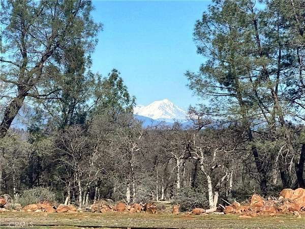
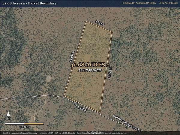
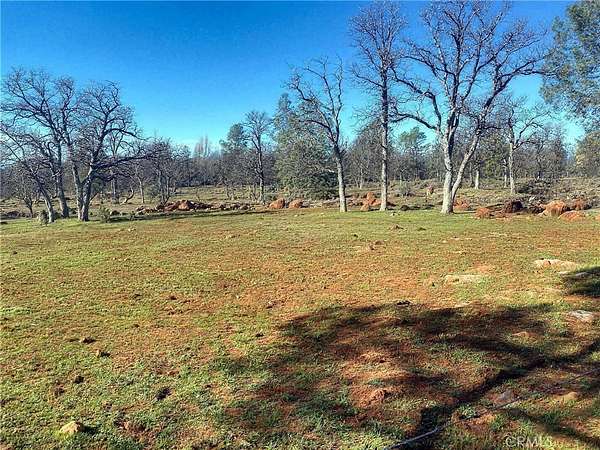
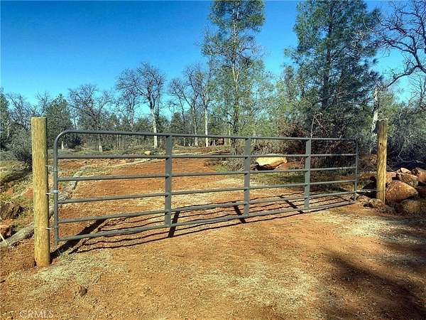
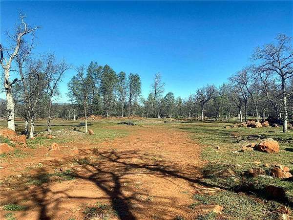
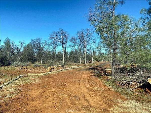
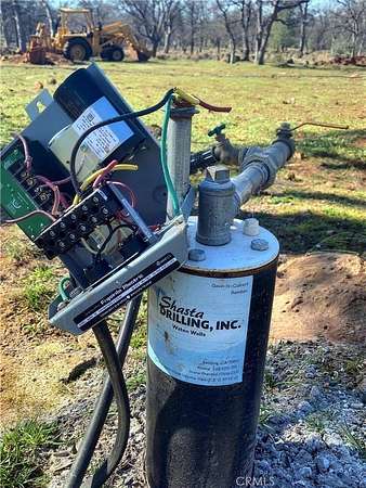
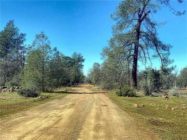
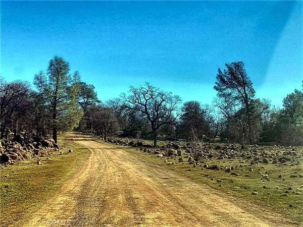
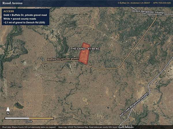
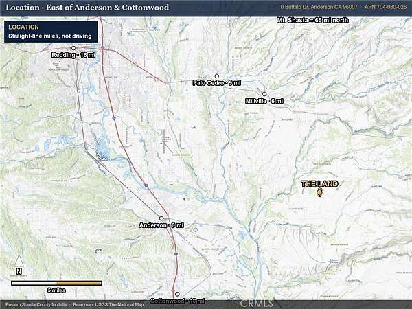
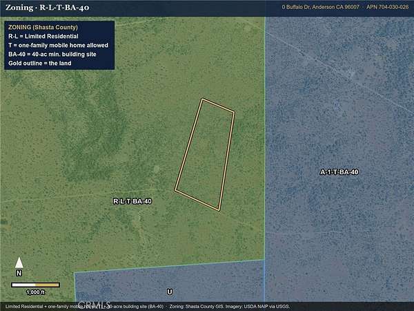
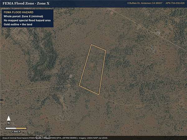
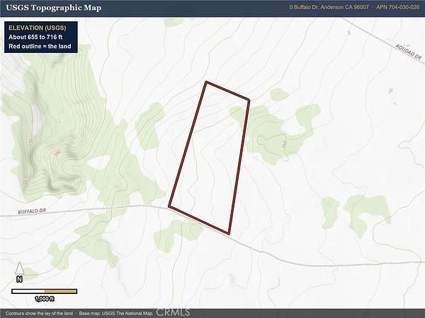
Snowcapped Mt. Shasta on the skyline, a permitted well already in, and 41.68 acres (per county records) of oak and pine foothill land east of Anderson and Cottonwood. Much of the early work is done: a domestic well was drilled under a 2020 Shasta County permit (copy in supplements), several building envelopes have been cleared for a home, shop or ADU, and there is a pipe-gate entry. The Mt. Shasta view opens up from the back of the property, about 65 miles to the north. The land has about 1,000 feet of frontage on Buffalo Dr, a private gravel road that leads to paved, county-maintained Dersch Rd (about 2 miles per county GIS). Terrain is gentle with scattered surface rock, at roughly 655 to 715 feet of elevation (USGS). Zoning is R-L-T-BA-40 (Shasta County): limited residential with a one-family mobile home combining district and a 40-acre minimum building site, so a site-built or manufactured home is allowed; buyer to confirm ADU and accessory-structure rules with Shasta County Planning. FEMA flood Zone X (minimal hazard). No HOA. Cottonwood Union Elementary and Anderson Union High school districts. Straight-line distances: Millville 6 mi, Anderson 9 mi, Cottonwood 10 mi, Redding 16 mi. A natural fit for a hobby ranch, horses, a homestead or an off-grid retreat. No utilities are connected; buyer to verify power availability, septic suitability, road maintenance and easements. Boundary graphics are approximate from county GIS, not a survey. For maps, the well permit or a tour, call Laura Fox, LK Fox Real Estate (T.N.G. Real Estate Consultants),.
Location
- Street address
- Buffalo Dr
- County
- Shasta County
- Zip code
- 96007
- Elevation
- 720 feet
Directions
Hwy 44 east from Redding, right on Millville Plains Rd, left on Dersch Rd, right on Buffalo Dr (private gravel). Land is on the right (north side) about 2 miles in, near Aoudad Dr.
Property details
- Acreage
- 41.68 acres
- Zoning
- R-L-T-BA-40
- MLS #
- MRMLS PW26244688
- Posted
Parcels
- 704030026000
Details and features
Listing
- Type
- Land
- Zoning
- Limited Residential + One-family Mobile Home Combining, 40-Acre Min. Building Site
Lot
- Features
- 0-1 Unit/Acre, Agricultural, Gentle Sloping, Horse Property, Lot Over 40000 SQFT, Rocks, Secluded
Structure
- Water
- Well
Listing history
| Date | Event | Price | Change | Source |
|---|---|---|---|---|
| Nov 17, 2026 | New listing | $120,000 | — | MRMLS |