Land for Sale in Roanoke, Virginia
Burnham Rd Roanoke, VA 24018
Images
Map
Street


$150,000
13.4 acres
Active sale agoEst $1,171/mo
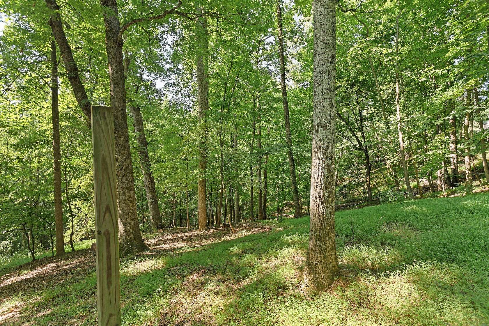
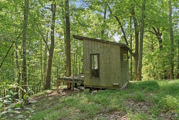
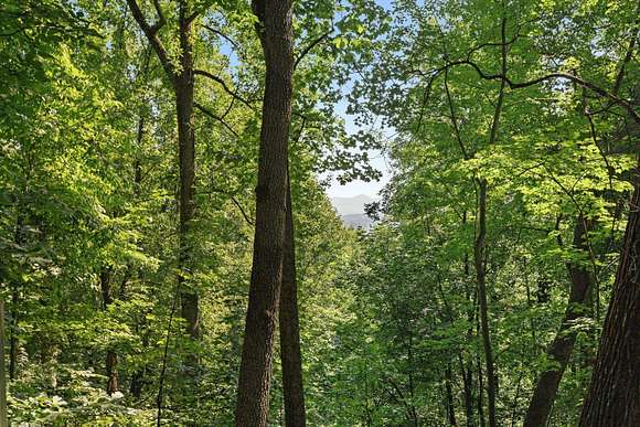
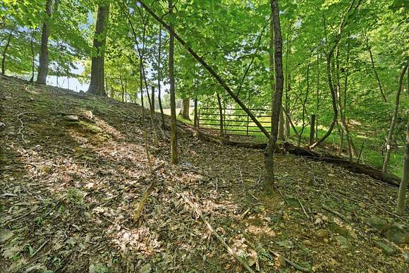
Wooded lot with public utilities available, great location and amazing views
Location
- Street Address
- Burnham Rd
- County
- Roanoke County
- Community
- Castle Rock
- Elevation
- 1,283 feet
Property details
- MLS Number
- RVAR 907541
- Date Posted
Property taxes
- Recent
- $700
Expenses
- POA Fee
- $300 annually
Parcels
- 076.03-12-20.00-0000
Detailed attributes
Listing
- Type
- Land
- Subtype
- Single Family Residence
Lot
- Views
- Mountain
Nearby schools
| Name | Level | District | Description |
|---|---|---|---|
| Oak Grove | Elementary | — | — |
| Hidden Valley | Middle | — | — |
| Hidden Valley | High | — | — |
Listing history
| Date | Event | Price | Change | Source |
|---|---|---|---|---|
| June 20, 2024 | Relisted | $150,000 | — | RVAR |
| May 25, 2024 | Listing removed | $150,000 | — | — |
| May 14, 2024 | New listing | $150,000 | — | RVAR |
Payment calculator
Susan Bailey
Long & Foster - Roanoke Office
Contact listing agent
By submitting, you agree to the terms of use, privacy policy, and to receive communications.