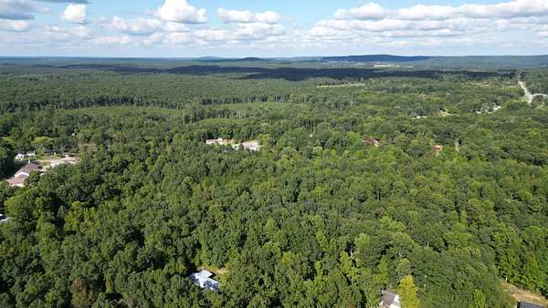
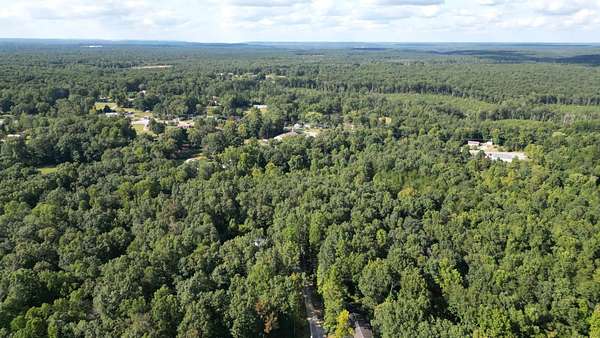
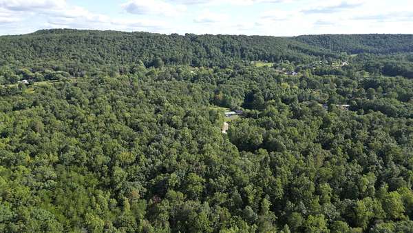
Land for Sale in Gruetli-Laager, Tennessee
Caldwell Rd, Gruetli-Laager, TN 37339
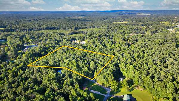
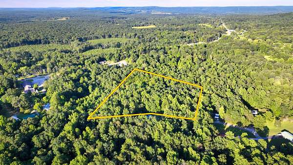
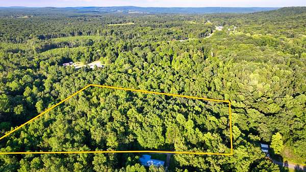
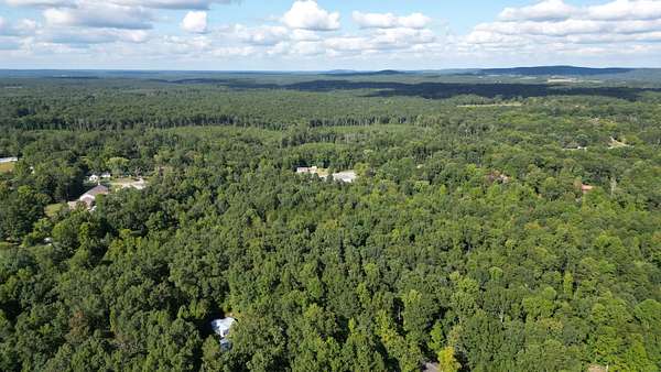
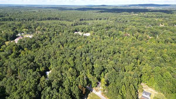
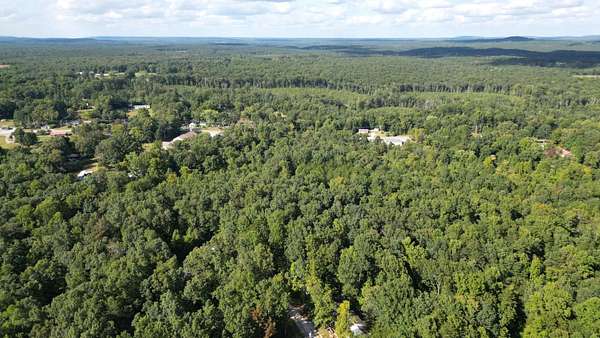
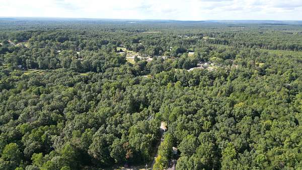
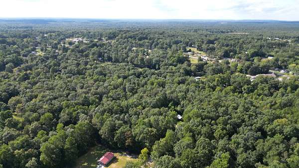
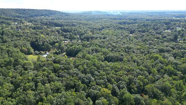
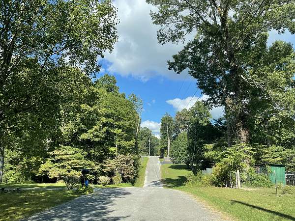
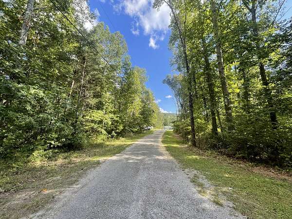
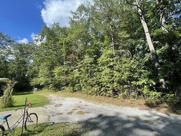
This 4.32-acre lot in Gruetli-Laager, TN offers a rare mix of natural beauty, privacy, and flexibility. Located on the scenic Cumberland Plateau in unincorporated Grundy County, the property has minimal land use restrictions--perfect for RVs, mobile homes, tiny homes, or a custom-built retreat.
Whether you're planning a full-time residence, weekend cabin, or recreational base near Savage Gulf State Park, this parcel fits the vision. The land features a peaceful, wooded setting with approximately 156 ft of road frontage and ample space (537 ft x 292 ft x 382 ft x 527 ft) to build, garden, or enjoy the outdoors.
With road access and nearby utilities, you'll enjoy both rural charm and convenience. A great opportunity for those seeking space, freedom, and nature.
Soil Map Completed and Ready for Septic Installation:
- This land has a record of a passed perc test and has recently been soil mapped. This means this property is almost ready to start the permitting process to get septic installed and the building process started! The process to obtain a soil map can take months! However, the soil map is ready for you now! This map is a vital process for the septic application and will significantly speed up your timeline of enjoying your new property!
Purchase Closing
- We provide the best Buyer Protection on your land title.
- Cash Buyer will receive a Warranty Deed.
- Seller Financed Buyer will receive a Warranty Deed + Deed of Trust.
- No fees for Buyer if closing in-house. Buyer responsible for current year and subsequent year property taxes.
Location
- Street address
- Caldwell Rd
- County
- Grundy County
- Zip code
- 37339
- Elevation
- 1,800 feet
Property details
- Acreage
- 4.32 acres
- Showing
- Contact for permission
- Posted
Parcels
- 061-191.00
Legal description
Beginning on a stake at the road; preceding the North 11 deg. 00 min. East 24 feet to a stake; thence North 12 deg. 30 min. West 207 feet to a stake; thence North 20 deg. 50 min. West 130 ft to a stake; thence North 24 deg. 20 min. West 395 feet to a stake in Farris line; thence South 85 deg. 20 min. E 545 feet to an iron stake; thence South 04 deg. 30 min. West 512 feet to a stake; thence South 59 deg 00 min. West 266 feet to a stake; thence 59 deg. 00 min. West 30 feet to the point of beginning, containing 5.32 acres more or less.
Resources
Details and features
Lot
- View
- Woods
- Features
- Cul-De-Sac, Level, Wooded
Property utilities
| Category | Type | Status |
|---|---|---|
| Power | Grid | Available |
| Water | Public | Available |
Listing history
| Date | Event | Price | Change | Source |
|---|---|---|---|---|
| Apr 14, 2026 | Price drop | $62,899 | $1 0% | Property seller |
| Oct 24, 2025 | New listing | $62,900 | — | Property seller |
Payment calculator