Recreational Land for Sale in Fairfield, Idaho
Carrie Creek Rd. Smokey Mtns, Fairfield, ID 83327
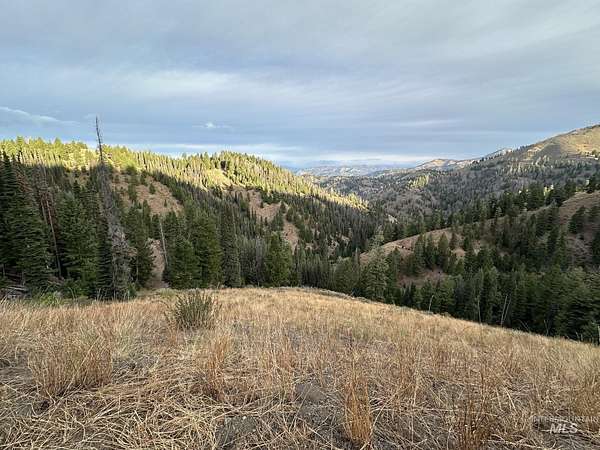
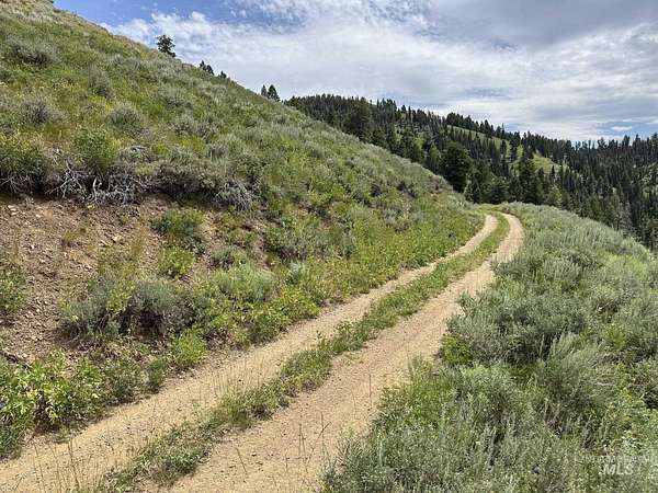
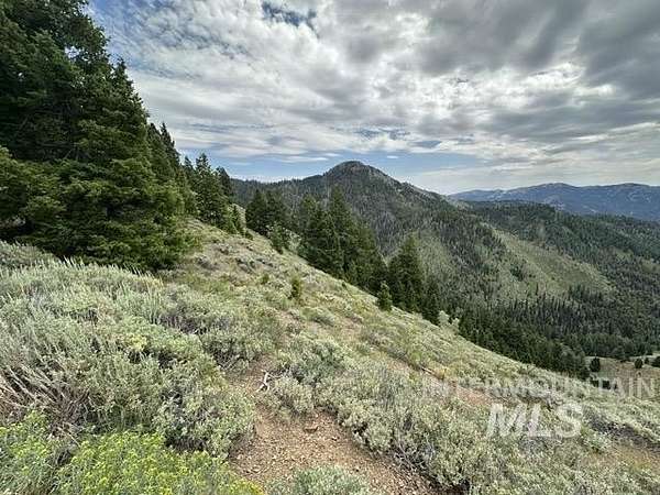
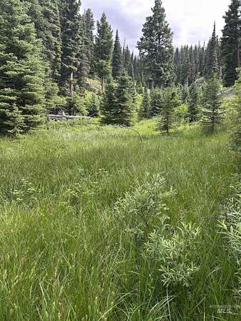
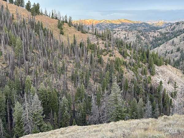
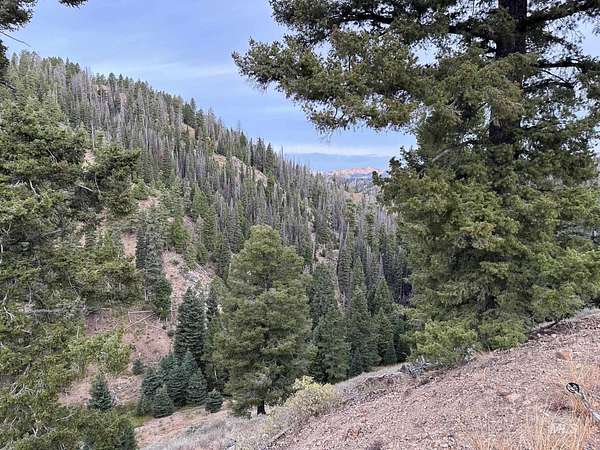
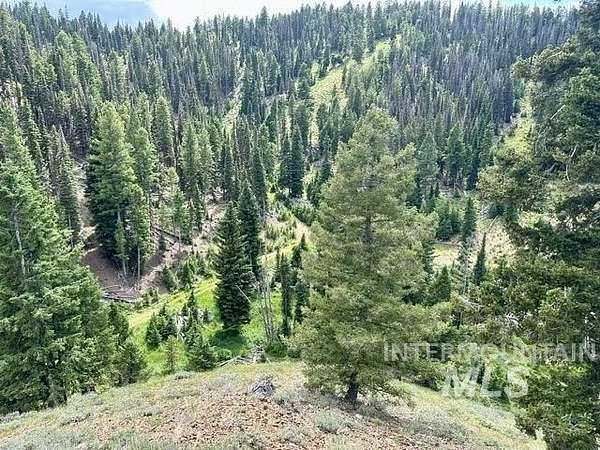
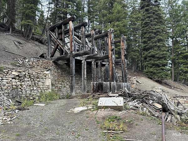
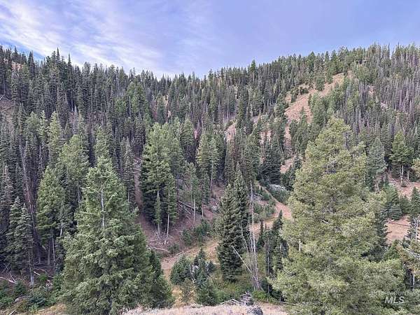
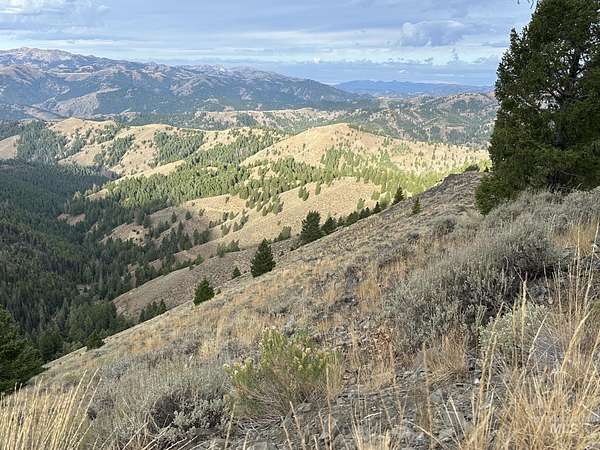
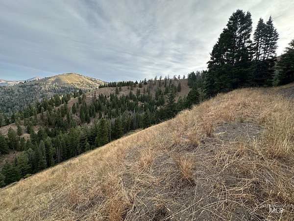
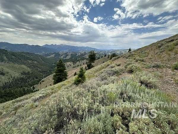
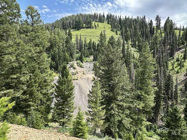
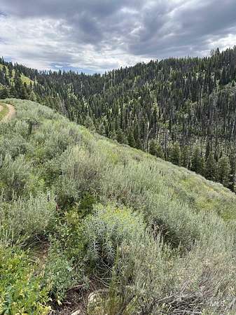
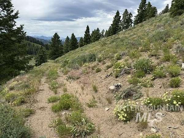
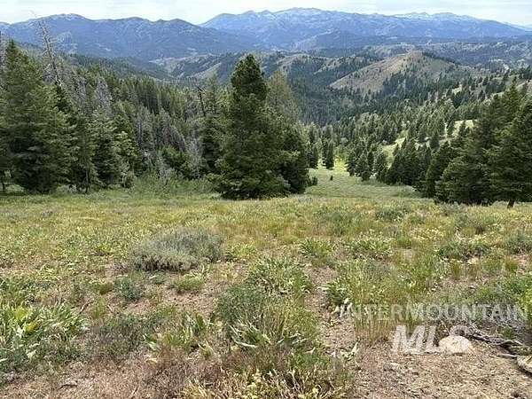
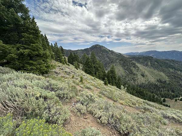
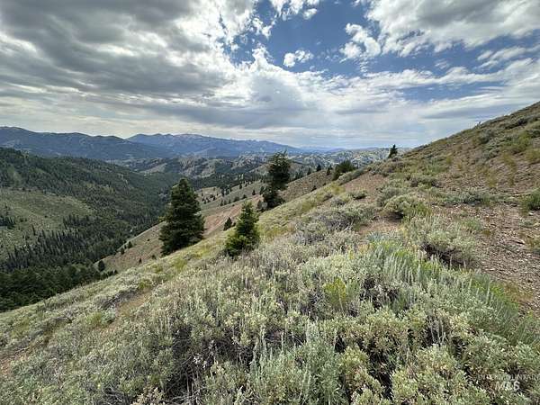
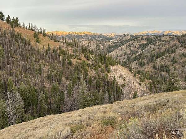
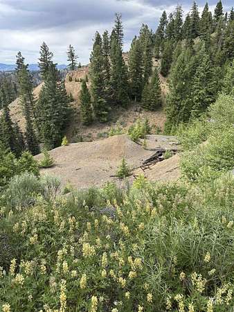
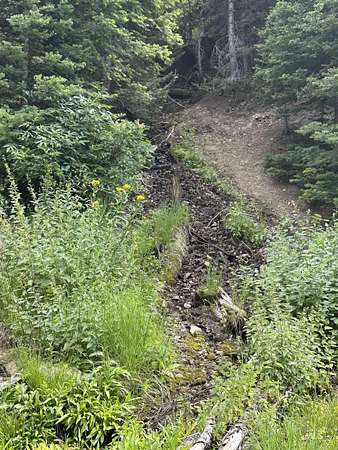
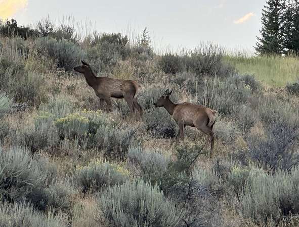
The Silver Star Mine and Hunting Property is surrounded by Forest Service land, located in hunting unit #44 and bordering unit #48 on the north border. The Silver Star Mine has a colorful history beginning in 1881, with the mine shaft extending into the mountain 6,200 ft. The vast majority of mines closed in the 1890's due to the economic crash. The 192 acres has a variety of vegetation consisting of big timber, lush creek bottoms and south facing sage brush slopes. It is steep but there are old trails and roads giving access into many areas on the property. The privacy is rich along with the hunting, which is a big draw for being in the mountains. Unit #44 is one of the best big buck hunting units in the state but tags are tough to come by. With Unit #48 on the north border, tags for elk and deer are readily available. The road leading to Ketchum takes you over Dollarhide pass and follows Warm Springs Creek all the way into town. Elevations range from 8,400 on the ridge to 7,200 along Carrie Creek.
Location
- Street address
- Carrie Creek Rd. Smokey Mtns
- County
- Camas County
- Zip code
- 83327
- Elevation
- 7,747 feet
Directions
North of Fairfield to Carrie Creek Rd. or West of Ketchum, ID on Warmsprings Rd. 22 miles. The Property is 2 miles west of Dollarhide Pass.
Property details
- Acreage
- 192 acres
- MLS #
- IMLS 99000720
- Posted
Property taxes
- 2025
- $252
Parcels
- RPM00750000010A
Legal description
T3N, R15E portions of sections 7,8,17,18
Details and features
Listing
- Type
- Land
Lot
- Waterfront
- Creek
- Features
- Borders Public Owned Land, Canyon Rim, Over 40 Acres, Sloped, Surveyed, Wooded
Listing history
| Date | Event | Price | Change | Source |
|---|---|---|---|---|
| Sept 13, 2026 | New listing | $895,000 | — | IMLS |