Skip to main content
Skip to navigation
Properties
Find agent
Post property
Log in
•
Sign up
Search here
List
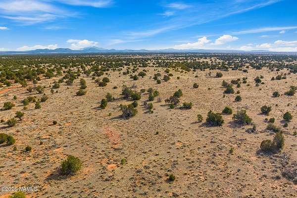
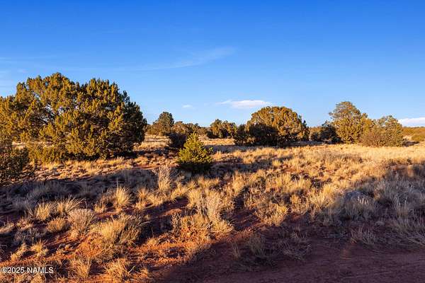
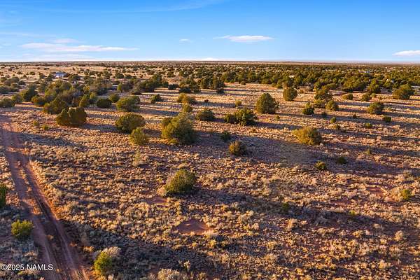
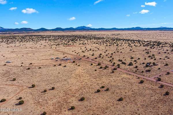
Williams, AZ land for sale
Price
Size
Tags
Save
366 properties
For you
Newest
Price: high to low
Price: low to high
Size: large to small
Size: small to large
Updated
Featured
13 months ago
$39,000
3.53 acres
Coconino County
Williams, AZ 86046
Featured
13 months ago
$14,500
2 acres
Coconino County
Williams, AZ 86046
Featured
3 months ago
$6,295
1.16 acres
Coconino County
Williams, AZ 86046
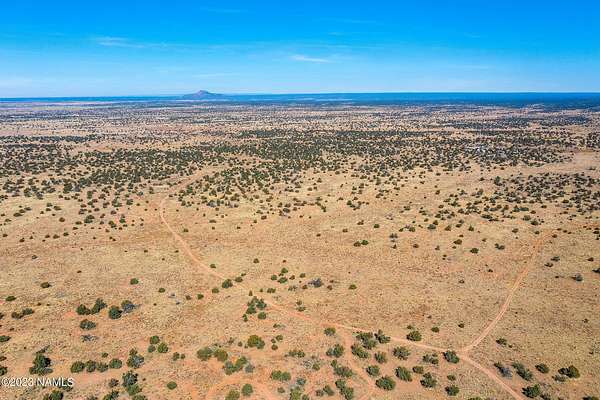
19 days
$35,000
10 acres
Coconino County
Williams, AZ 86046
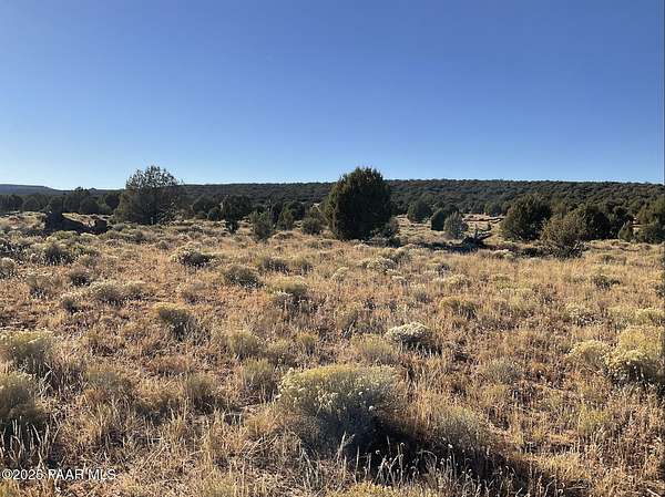
16 days
$45,000
39 acres
Coconino County
Williams, AZ 86046
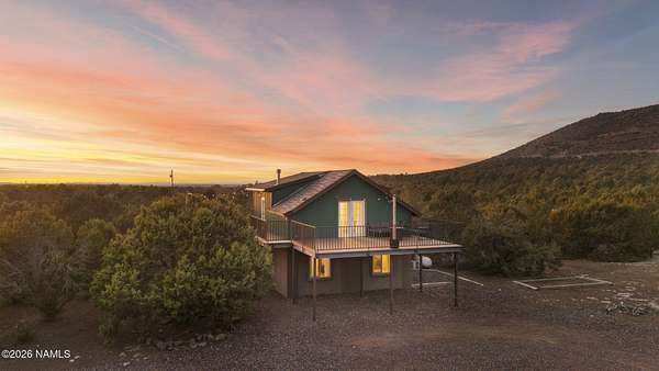
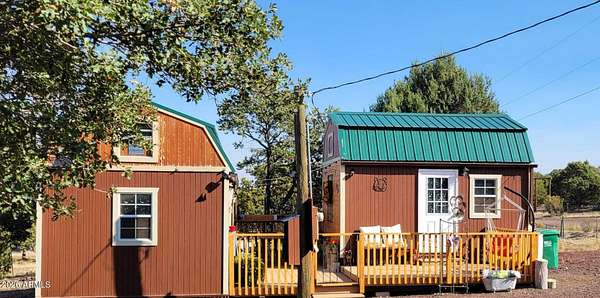
6 days
$920,000
5 acres
Coconino County
3 bd, 2 ba
•
2,290 sq ft
Williams, AZ 86046
22 days
$39,000
12 acres
Coconino County
Williams, AZ 86046
8 days
$825,000
7.6 acres
Coconino County
3 bd, 2.5 ba
•
2,232 sq ft
Williams, AZ 86046
38 days ago
$75,900
10 acres
Coconino County
Williams, AZ 86046
29 days
$565,000
9.78 acres
Coconino County
4 bd, 2 ba
•
1,440 sq ft
Williams, AZ 86046
28 days
$30,000
1.13 acres
Coconino County
Williams, AZ 86046
44 days ago
$109,000
1 acre
Coconino County
Williams, AZ 86046
19 days
$15,000
1 acre
Coconino County
Williams, AZ 86046
54 days ago
$800,000
10 acres
Coconino County
3 bd, 2.5 ba
•
2,629 sq ft
Williams, AZ 86046
31 days ago
$65,000
1 acre
Coconino County
Williams, AZ 86046
44 days ago
$99,000
1 acre
Coconino County
Williams, AZ 86046
2 months ago
$79,000
20 acres
Coconino County
Williams, AZ 86046
2 months ago
$79,000
1 acre
Coconino County
Williams, AZ 86046
52 days ago
$39,000
10 acres
Coconino County
Williams, AZ 86046
3 months ago
$16,500
1 acre
Coconino County
Williams, AZ 86046
3 months ago
$16,500
1 acre
Coconino County
Williams, AZ 86046
$15k drop • Mar 22
$55,000
3 acres
Coconino County
Williams, AZ 86046
26 days
$94,500
2.5 acres
Coconino County
Williams, AZ 86046
$2k drop • Mar 28
$19,000
10 acres
Coconino County
Williams, AZ 86046
3 months ago
$16,500
1 acre
Coconino County
Williams, AZ 86046
3 months ago
$16,500
1 acre
Coconino County
Williams, AZ 86046
7 days
$11,500
1.58 acres
Coconino County
Williams, AZ 86046
44 days ago
$99,000
1 acre
Coconino County
Williams, AZ 86046
3 months ago
$14,500
1 acre
Coconino County
Williams, AZ 86046
48 days ago
$65,000
10 acres
Coconino County
Williams, AZ 86334
2 months ago
$125,000
1 acre
Coconino County
Williams, AZ 86046
3 months ago
$16,000
1 acre
Coconino County
Williams, AZ 86046
36 days ago
$87,000
2.5 acres
Coconino County
Williams, AZ 86046
2 months ago
$198,000
1 acre
Coconino County
Williams, AZ 86046
3 months ago
$14,500
1 acre
Coconino County
Williams, AZ 86046
36 days ago
$55,000
12 acres
Coconino County
Williams, AZ 86046
$8k drop • Jan 19
$95,000
40 acres
Coconino County
Williams, AZ 86046
19 days
$85,000
36.8 acres
Coconino County
Williams, AZ 86046
24 days
$109,000
2 acres
Coconino County
Williams, AZ 86046
$15k drop • Mar 12
$270,000
1.1 acres
Coconino County
Williams, AZ 86046
52 days ago
$78,000
20 acres
Coconino County
Williams, AZ 86046
3 months ago
$19,900
9.5 acres
Coconino County
Williams, AZ 86046
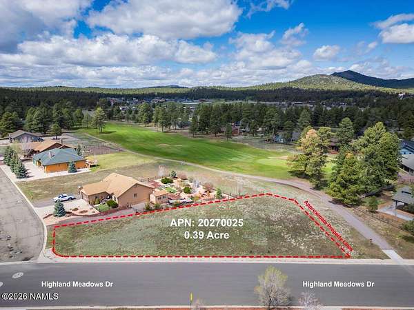
6 hours
$209,000
0.39 acres
Coconino County
Williams, AZ 86046
5 months ago
$99,000
12 acres
Coconino County
Williams, AZ 86046
10 days
$67,000
10 acres
Coconino County
Williams, AZ 86046
51 days ago
$12,500
1 acre
Coconino County
Williams, AZ 86046
$5m drop • Feb 16
$20,500,000
26.6 acres
Coconino County
Williams, AZ 86046
4 months ago
$215,000
13.3 acres
Coconino County
Williams, AZ 86046
$10k drop • Mar 16
$495,000
10 acres
Coconino County
4 bd, 2 ba
•
2,128 sq ft
Williams, AZ 86046
5 months ago
$95,000
2.5 acres
Coconino County
Williams, AZ 86046
1
2
3
4
…
8
1-50 of 366 properties
Map