Land for Sale in Sanders, Arizona
Claymine Rd, Sanders, AZ 86512
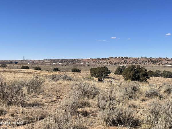
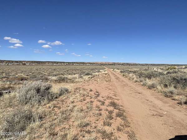
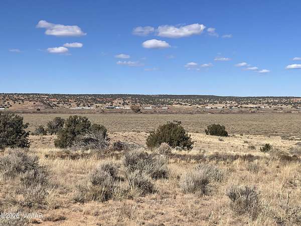
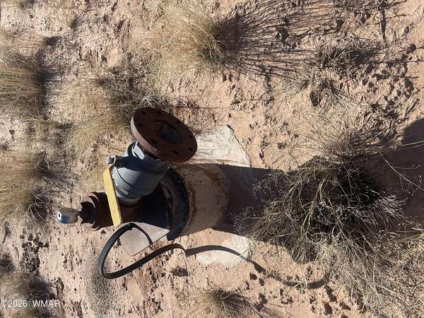
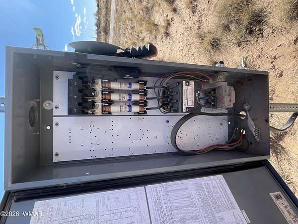
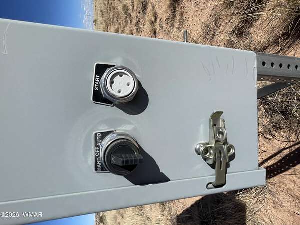
This is a large acreage with a number of highly positive attributes. Large acreage featuring frontage on a county, existing power along the county road, pleasing topography and a capped 500' nonexempt well with 12'' bore well head. Seller is willing to provide exceptional terms with down less than the cost to drill a comparable well. pressure gauge on well head indicates a wealth of water.
Location
- Street address
- Claymine Rd
- County
- Apache County
- Zip code
- 86512
- Community
- Needs Subdivision 00
- School district
- Sanders
- Elevation
- 5,839 feet
Directions
FROM US 191 TURN EAST ONTO NAVAJO BLVD TURN NORTH ONTO E BUTTE PROPERTY IS APPROXIMATELY QUATER OF A MILE UP.
Property details
- Acreage
- 304.91 acres
- MLS #
- WMAR 259779
- Posted
Property taxes
- Recent
- $208
Parcels
- 207-18-002D
Legal description
Section: 13 Township: 21N Range: 28E COM SW COR OF SEC 13 (AS POB) ELY 5344.08' NLY, 2637.34' TO E4 COR CONTIN NLY 2645.16' TO NE COR WLY 178.67 SWLY ALONG S SIDE OF RAILROAD RWY 4697.07' SELY 200' SWLY 1376.28' W 600' SWLY 238.31' S 734.31' TO POB EXC ANY PARCEL #'S EXIST IN THIS AREA EXC SWLY PORT. THEREOF. Section: 23 Township: 21N Range: 28E NE4 NE4 LYING N OF RIO PUERCO Section: 14 Township: 21N Range: 28E COMM COR SEC 13,14, 23, 24; THN N 734.31', THN SW 1565.27', THN E 75.95', THN E 1330.80' TPOB EXP COM SW COR SEC 13; THN NE 302.19', THN NW 103.53', THN NW 328.19', THN NW 249.53' TO A CUR, THN SW 648.15', THN SE 547.06', THN NE 402.09', THN NE 10.59' TPOB Section: 14 Township: 21N Range: 28E BEG SE COR SEC 14 W ALNG S BNDRY SEC 14 1406.75'TO POB NWLY 300' SWLY 565.14' E ALNG S BNDRY SEC14 639.83'
Property utilities
| Category | Type | Status |
|---|---|---|
| Water | Public | Available |
Listing history
| Date | Event | Price | Change | Source |
|---|---|---|---|---|
| Apr 18, 2026 | Under contract | $350,000 | — | WMAR |
| Mar 3, 2026 | New listing | $350,000 | — | WMAR |